
- Brief description
-
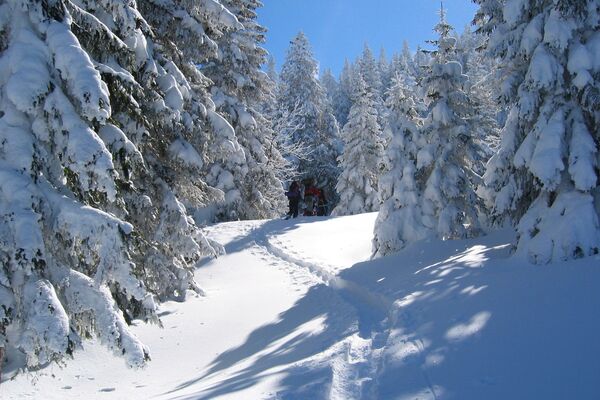
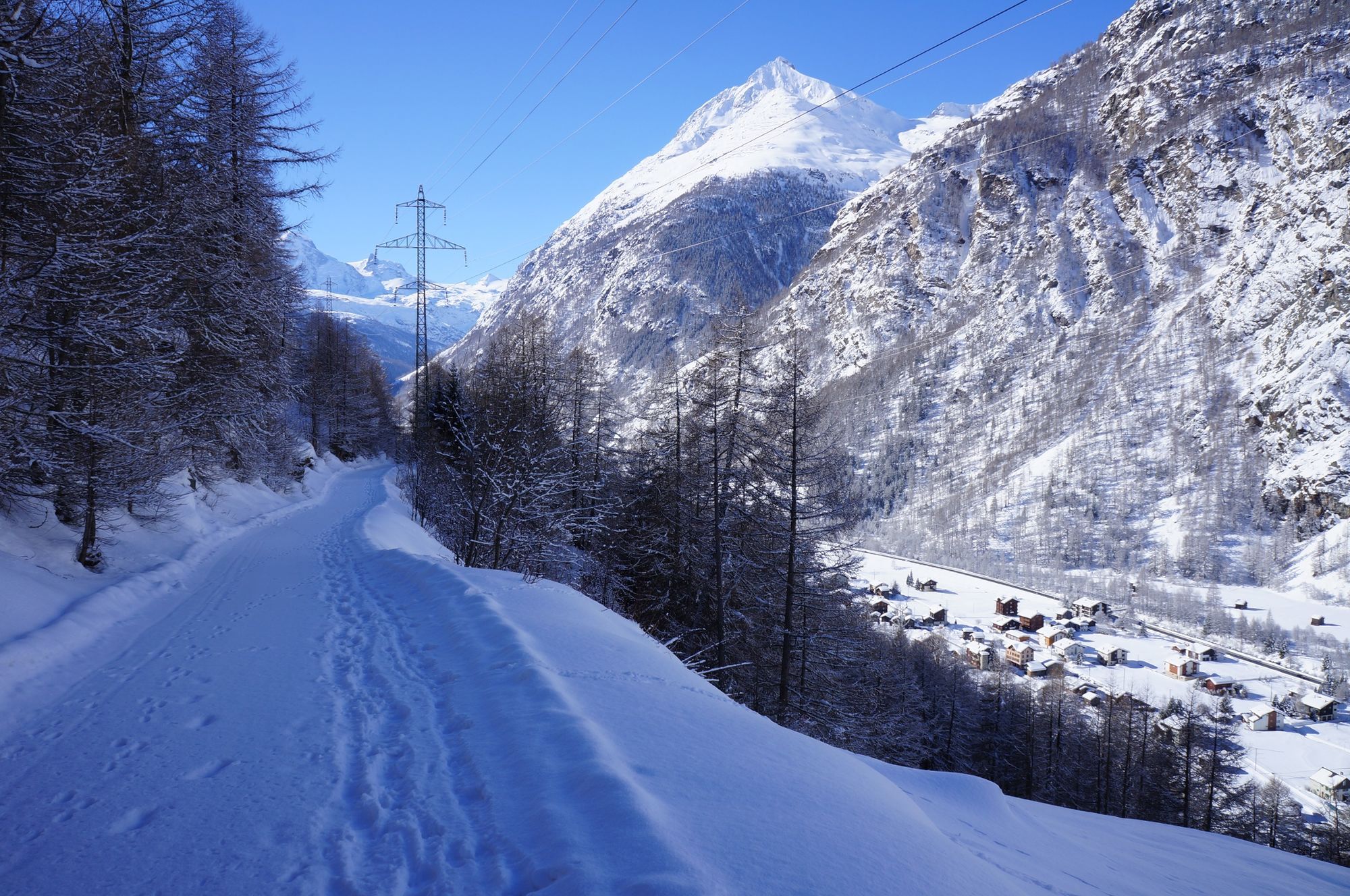
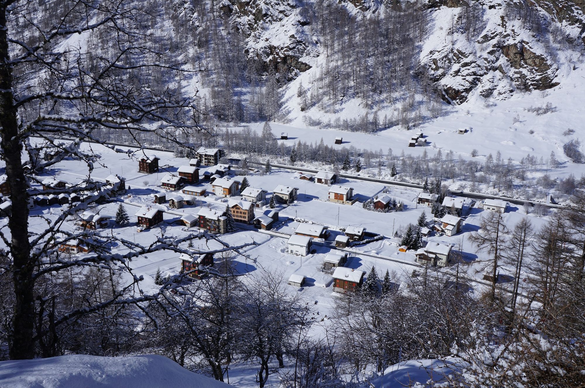
The Village Trail winds through a stunning, snowy landscape and the delightful village of Randa.
- Difficulty
-
easy
- Rating
-
- Starting point
-
Randa (1,439 m)
- Route
-
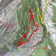
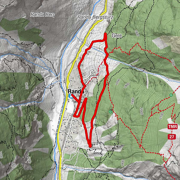
Randa (1,406 m)0.0 kmGere3.1 kmKirche St. Sebastian4.2 kmTreff 4944.3 kmRanda4.6 km
- Best season
-
AugSepOctNovDecJanFebMarAprMayJunJul
- Description
-
The Randa Village Trail promises a restful walk close to this beautiful village. The trail heads across snowy white expanses before climbing 250 metres up to gorgeous panoramic views of the village and the mountains.
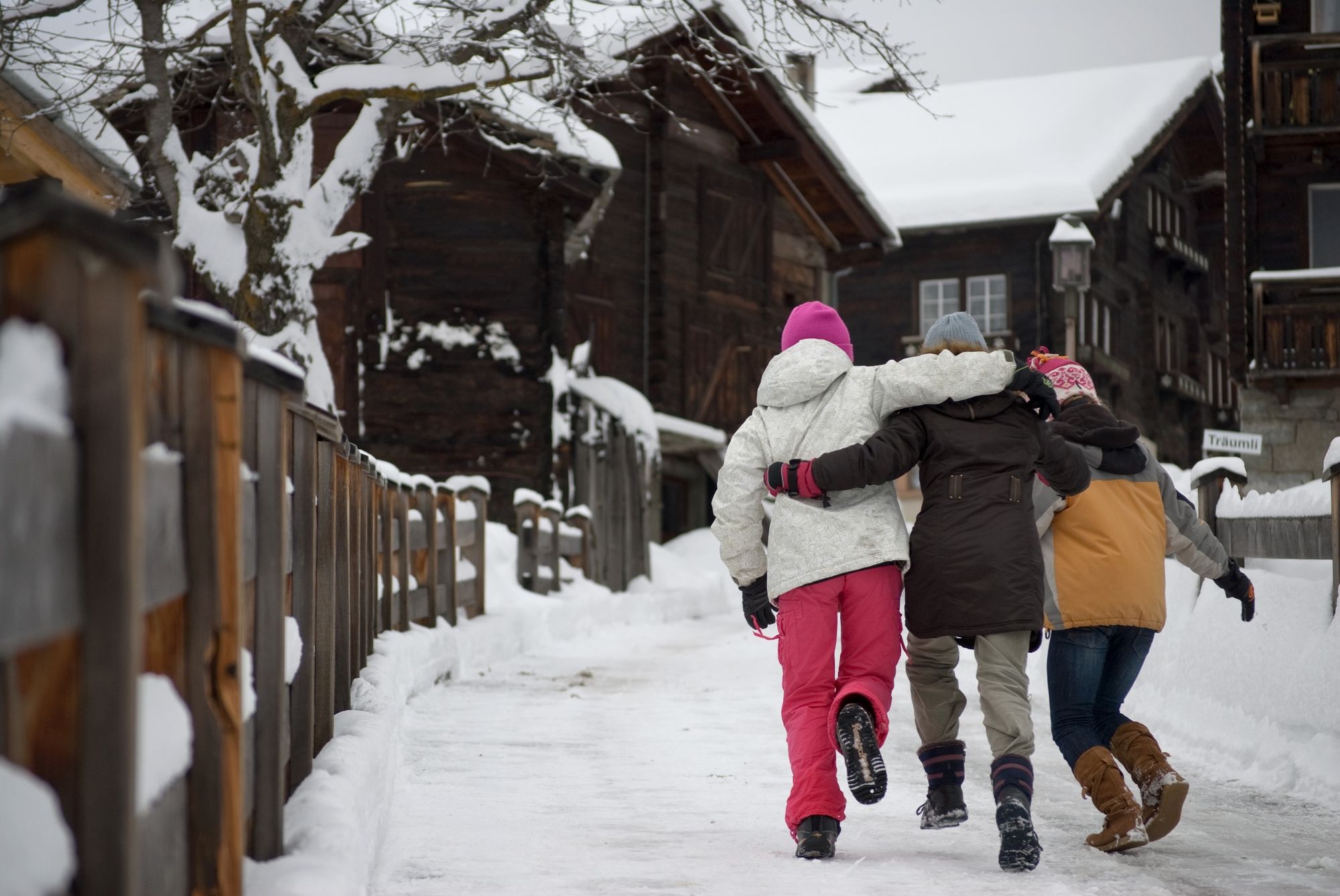
Suitable for children aged 6 upwards - Directions
-
Randa (station) - Randa village - Randa (station)
(Hiking time in reverse direction: approx. 1h 30)
This hike is marked on the signposts as “Dorfweg Randa”.
- Highest point
- 1,575 m
- Endpoint
-
Randa (1,439 m)
- Height profile
-
 © outdooractive.com
 - Equipment
-
We recommend:
Good footwear Hiking poles (optional) Warm winter clothing appropriate for the weather - Safety instructions
-
Plan every mountain tour carefully and adapt to participants’ fitness level as well as the weather and season. Weather conditions can change quickly in the mountains. Appropriate clothing is therefore essential, along with adequate supplies of food and water. In uncertain weather, turn back in good time. Inform others of planned route, and whenever possible avoid going alone. Do not leave the marked routes; do not venture onto glaciers without a mountain guide. It is forbidden to walk on the ski pistes. Please be considerate to other walkers and to plants and animals.
Tip: “Be searchable”. Equip yourself with an additional RECCO rescue reflector*. Whether summer or winter. Available in our Online-Shop or our information desk.
*The additional reflector does not replace an avalanche beacon. - Tips
-
If you look north, even in winter you can see a huge talus cone on the left-hand side of the valley, created by a massive rockslide in 1991.
- Directions
-
The drive from Visp to Randa takes about 30–40 min. The road leads through the wild and beautiful Mattertal valley.
- Public transportation
-
By train to Randa: less than 3½ hours from Zürich airport or 4 hours from Geneva airport. Change at Visp onto the Matterhorn Gotthard Bahn (Matterhorn Gotthard Railway). From Visp, the railway leads through the Mattertal valley past idyllic small villages to Randa.
- Parking
-
There is a public multi-storey car park by the railway station in Randa; simply follow the signs.

- Author
-
The tour Randa Village Trail (Nr. 133) is used by outdooractive.com provided.


General info
-
Oberwallis
307
-
Mattertal
88
-
Täsch
41