
- Brief description
-
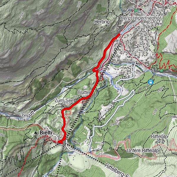
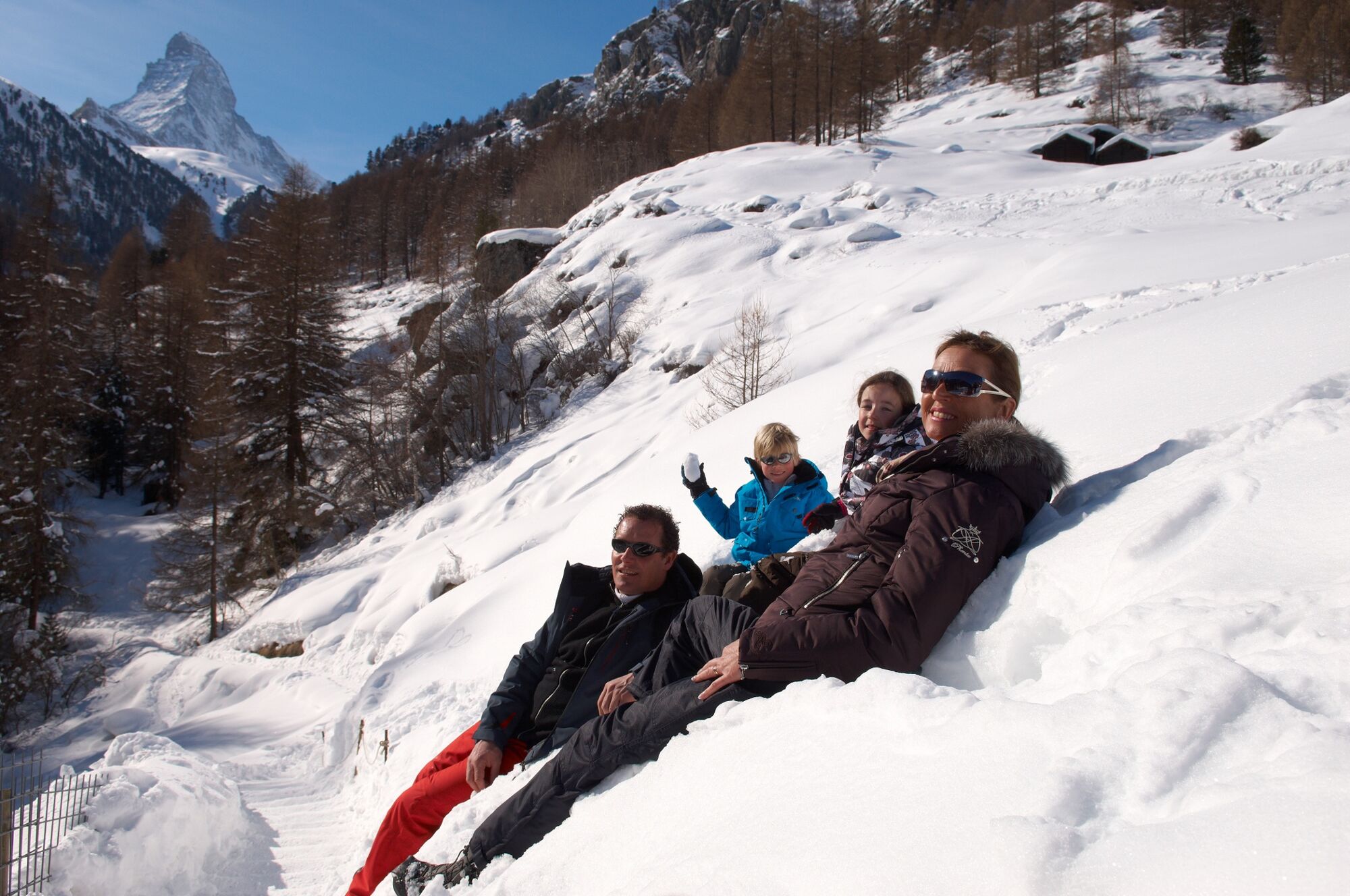
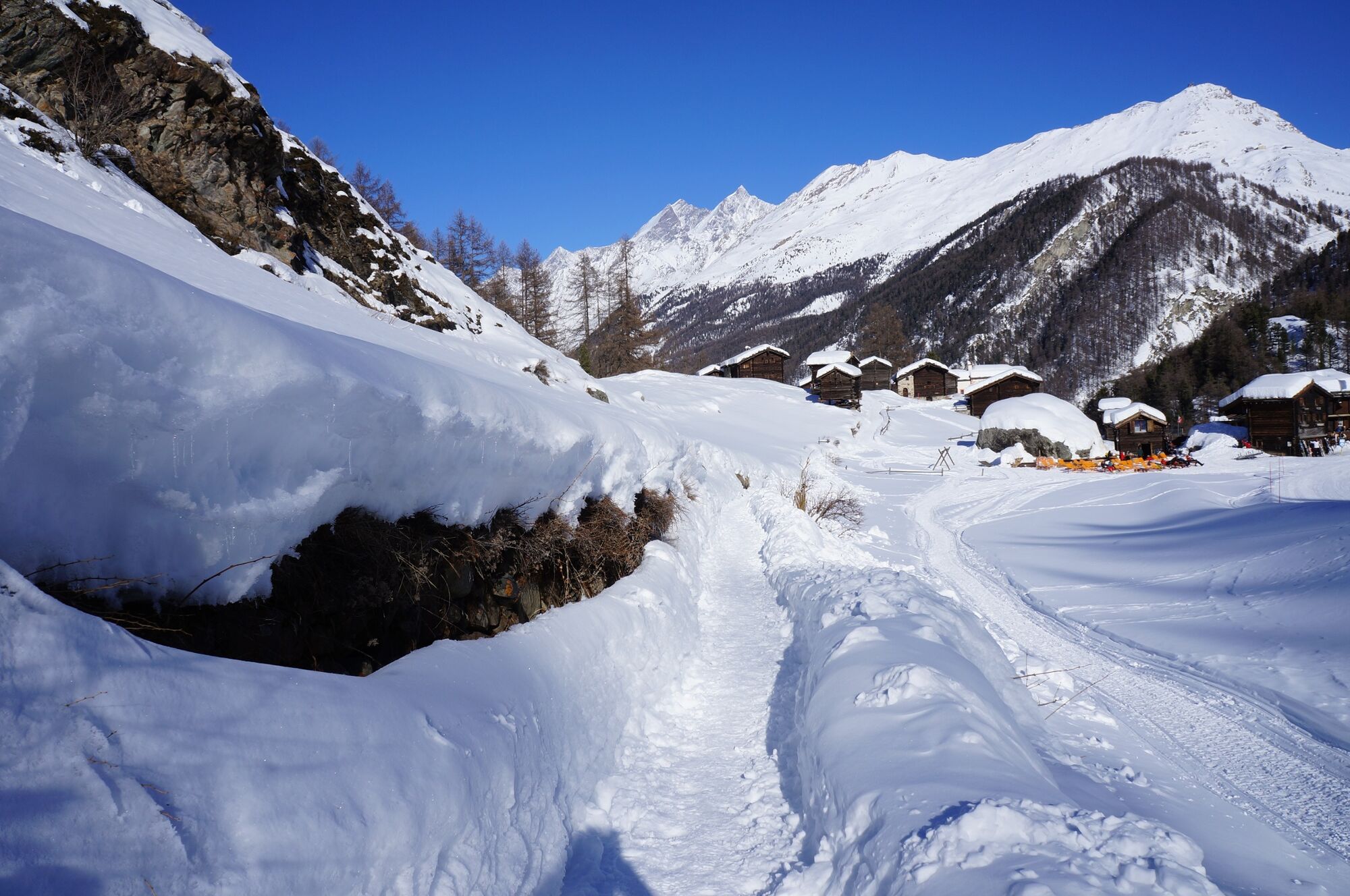
This winter hiking trail passes through the beautiful hamlets of Blatten and Zum See before reaching Furi, and they’re a great place to stop for a bite to eat.
- Difficulty
-
medium
- Rating
-
- Starting point
-
Zermatt (1,620 m)
- Route
-
Zermatt (1,608 m)Blatten1.2 kmZum See1.6 kmFuri2.2 km
- Best season
-
AugSepOctNovDecJanFebMarAprMayJunJul
- Description
-
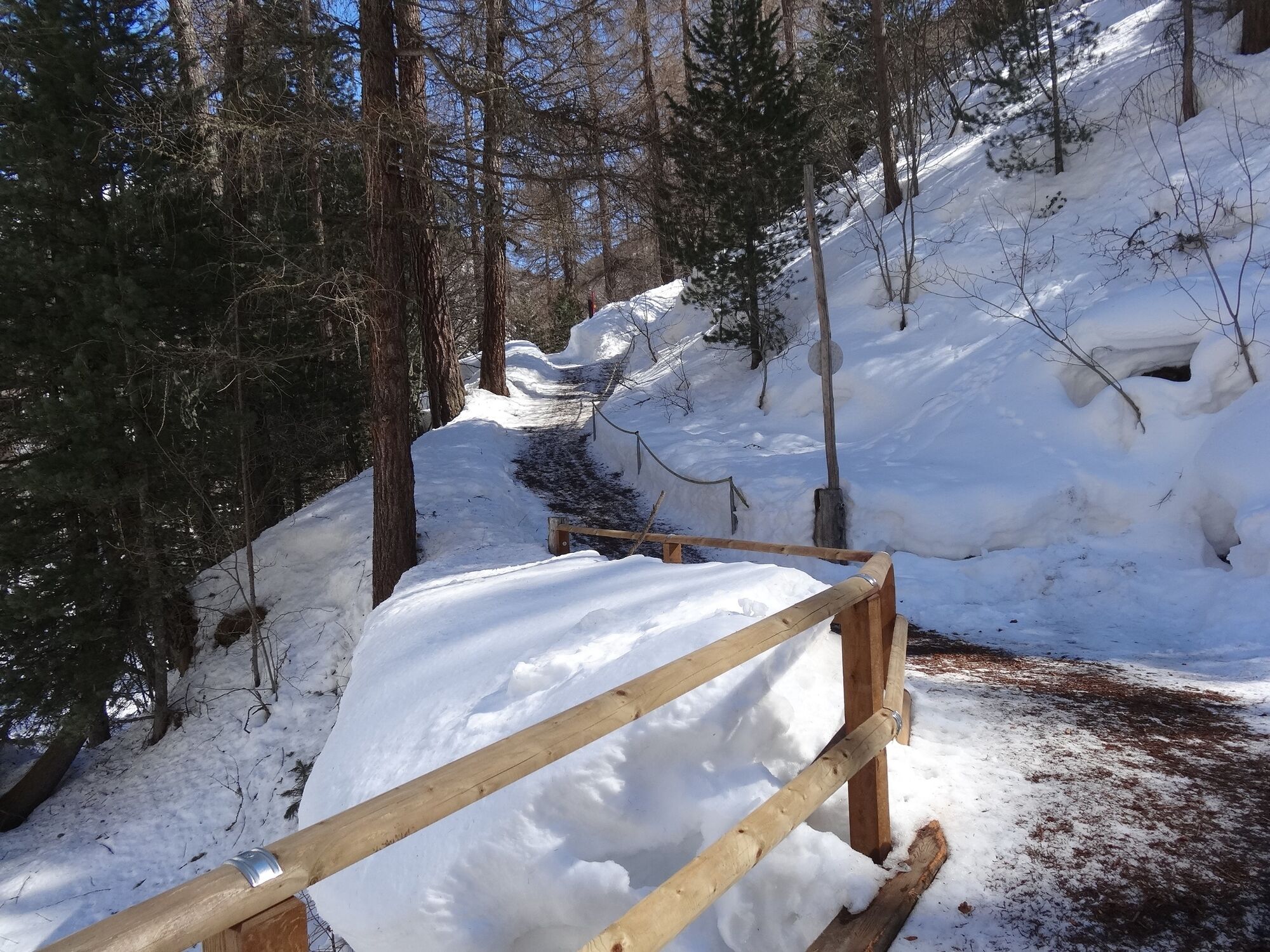
After the last houses at the end of the village of Zermatt, this winter hiking trail starts climbing gently. The air is fresh and healthy and the sun is shining. Soon after the forest, you reach the hamlets of Blatten and Zum See, with a choice of restaurants. The trail then continues on to Furi, where you have a fantastic view of Zermatt.
Suitable for children aged 6 upwards - Directions
-
Zermatt (Zen Stecken) - Blatten - Zum See - Furi
(Hiking time in reverse direction: approx. 45 min)
- Highest point
- 1,862 m
- Endpoint
-
Furi (1,867 m)
- Height profile
-
 © outdooractive.com
 - Equipment
-
We recommend:
Good footwear Hiking poles (optional) Warm winter clothing appropriate for the weather - Safety instructions
-
Plan every mountain tour carefully and adapt to participants’ fitness level as well as the weather and season. Weather conditions can change quickly in the mountains. Appropriate clothing is therefore essential, along with adequate supplies of food and water. In uncertain weather, turn back in good time. Inform others of planned route, and whenever possible avoid going alone. Do not leave the marked routes; do not venture onto glaciers without a mountain guide. It is forbidden to walk on the ski pistes. Please be considerate to other walkers and to plants and animals.
Tip: “Be searchable”. Equip yourself with an additional RECCO rescue reflector*. Whether summer or winter. Available in our Online-Shop or our information desk.
*The additional reflector does not replace an avalanche beacon. - Tips
-
Go into the chapel in Blatten to enjoy a moment of silence.
- Directions
-
Zermatt is car-free. Private vehicles are permitted only as far as Täsch (5 km before Zermatt). The Täsch–Zermatt road is closed to the public.
Onward travel to Zermatt is either by private taxi or shuttle train. Trains depart every 20 minutes; the journey takes about 12 minutes, and ends at the Bahnhofplatz in Zermatt. - Public transportation
-
By train to the Matterhorn village: 3½ hours from Zürich airport or 4 hours from Geneva airport. Change at Visp onto the Matterhorn Gotthard Bahn (Matterhorn Gotthard Railway). From Visp, the railway leads through the Mattertal valley past idyllic small villages to Zermatt.
Zermatt is also the start and finish point for the world-famous Glacier Express panoramic train journey (Zermatt to St. Moritz or Davos). - Parking
-
Täsch has car parks with both covered and open-air parking – e.g. at the Matterhorn Terminal or privately operated facilities.
Onward travel: see “Getting there”.
- Author
-
The tour Zermatt-Furi (via Blatten) (Nr. 118) is used by outdooractive.com provided.
General info
-
Unterwallis
151
-
Mattertal
88
-
Zermatt
28