
- Brief description
-
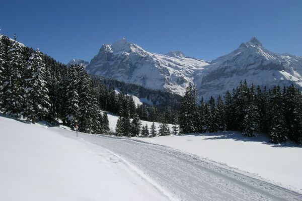
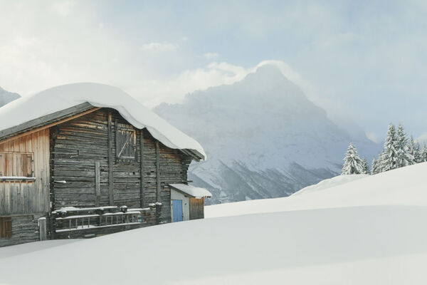
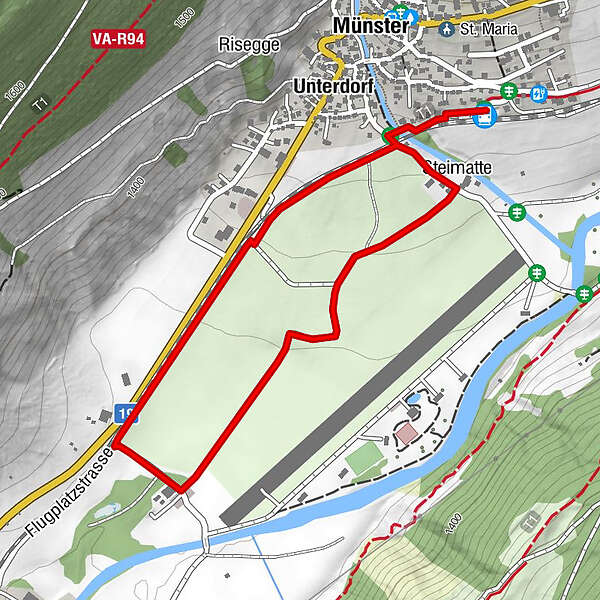
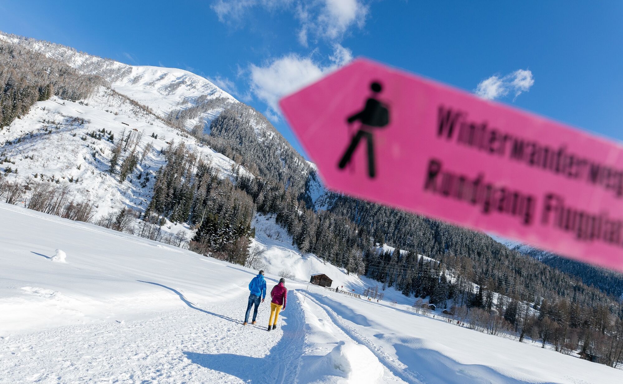
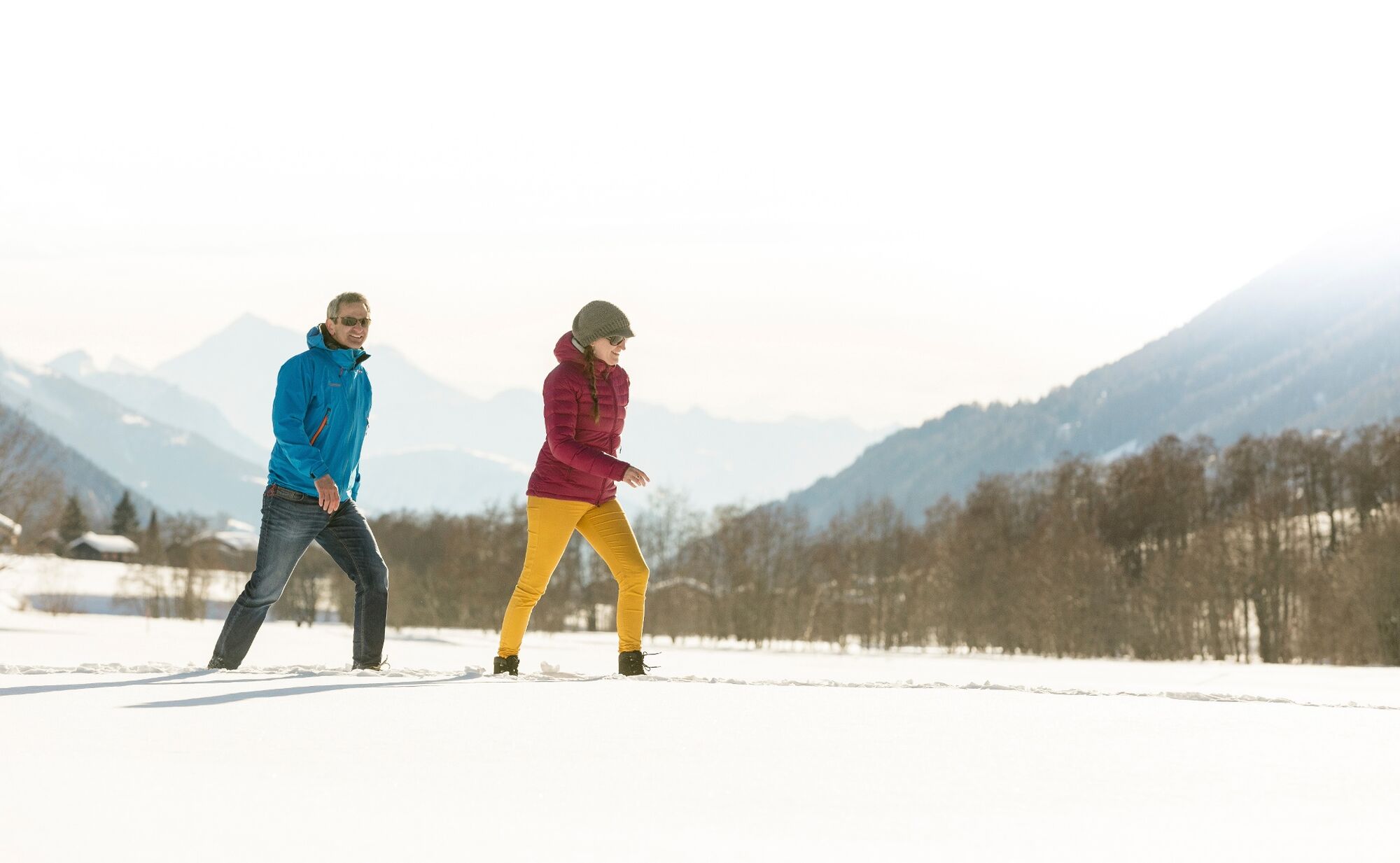
This easy circular track leads across the large, sunny plain of former airfield Münster. On this road you can enjoy a beautiful view on Gommer mountain landscape.
- Difficulty
-
easy
- Rating
-
- Starting point
-
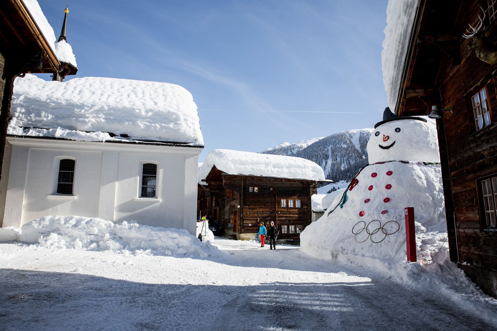
Münster, station
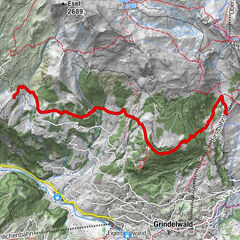
- Route
-
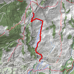
Münster (1,359 m)0.0 kmUnterdorf0.2 kmMünster (1,370 m)0.2 kmSteimatte0.4 kmMünster (1,359 m)2.8 km
- Best season
-
AugSepOctNovDecJanFebMarAprMayJunJul
- Description
-
This easy circular track leads across the large, sunny plain of former airfield Münster. On this road you can enjoy a beautiful view on Gommer mountain landscape and lovely mountain village Münster.
See also
Obergoms Tourismus AG
Furkastrasse 53
3985 Münster
Tel.: +41 27 974 68 68
E-Mail: tourismus@obergoms.ch
Internet: www.obergoms.ch
Wintersportbericht: http://www.obergoms.ch/wispo/index.php - Directions
-
Münster - Matte - Airfield Münster - Matte - Münster
- Highest point
- 1,358 m
- Endpoint
-
Münster, Station
- Height profile
-
 © outdooractive.com
 - Equipment
-
We recommend good snowshoes:
Good footwear and sturdy poles Detailed map or information material with good tour preparation Weatherproof (waterproof and windproof) warm clothing and headgear Sunglasses Good sun protection, even in cloudy weather. UV rays at high altitudes can be very strong, especially in winter. Provisions for your day in the great outdoors - Safety instructions
-
The use of the winter hiking trails to the Grimsel pass is at your own risk. Obergoms Tourismus AG disclaims all liability and assumes no responsibility for the accuracy and completeness of the information on this website.
Take a map with you or download the complete description of the route with a large-scale map. Use only signposted paths and observe all markings and signs - for your own safety, for the protection of the landscape and in respect for wildlife. Be considerate of other users. Take your rubbish and that of others with you.
Weather conditions in the mountains can change very quickly and without warning. Adequate clothing and provisions (food and drink) are very important. If the weather is unstable, it is better to turn around early. Carry additional sun protection with you. UV rays at high altitudes can be very strong, especially in winter, even when the sky is overcast.
Plan your tour carefully and in detail. Inform yourself in advance about the current conditions (avalanche danger, cross-country ski runs, winter hiking trails, snow trails and road conditions) and weather conditions. The winter sports report provides you with valuable information from the region.
- Tips
-
The Gommer Pass of the Matterhorn Gotthard Railway entitles the holder to free travel during the validity period on the route between Oberwald and Fiesch Feriendorf in 2nd class.
- Additional information
-
Winter sports report at www.obergoms.ch/winter-report
Time table www.sbb.ch
Telephone number of rescue service: 144
Avalanche bulletin and snow situation at www.slf.ch - Directions
-
From Brig follow cantonal road No 19 (Furkastrasse) to Münster. The Goms valley is also easily accessible from direction Zurich / Lucerne via Andermatt – car transport Furka. The Alpine passes Furka, Grimsel and Nufenen are closed in winter.
The timetables for the car transport Furka can be found at https://www.matterhorngotthardbahn.ch
- Public transportation
- Parking
-
Parking spaces are available in the vicinity of the railway station or in the village of Münster. Follow the local parking guidance system.


- Author
-
The tour Circular trail Münster airfield is used by outdooractive.com provided.


General info
-
Aletsch Arena
177
-
Goms
45
-
Bellwald
20