- Brief description
-
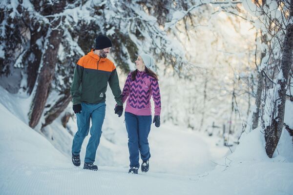
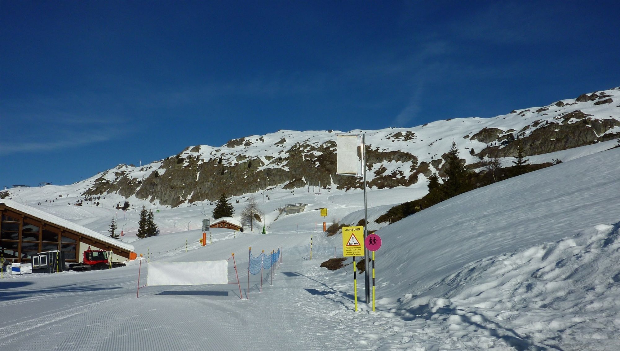
Relaxed winter hiking with a view: no major climbs and yet fantastic views of the entire sunny plateau and the Valais mountains, including the Matterhorn.
- Difficulty
-
easy
- Rating
-
- Starting point
-
Bettmeralp, top station of aerial cable car
- Route
-
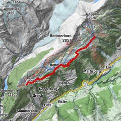
Bettmeralp (1,960 m)0.1 kmZentrum St. Michael0.5 kmBettmeralp (1,948 m)0.5 kmScheene Bodu2.7 kmGopplerlücke3.1 kmBrüch5.0 kmRiederalp-Mitte (1,920 m)5.1 kmRiederalp (1,925 m)5.1 km
- Best season
-
AugSepOctNovDecJanFebMarAprMayJunJul
- Description
-
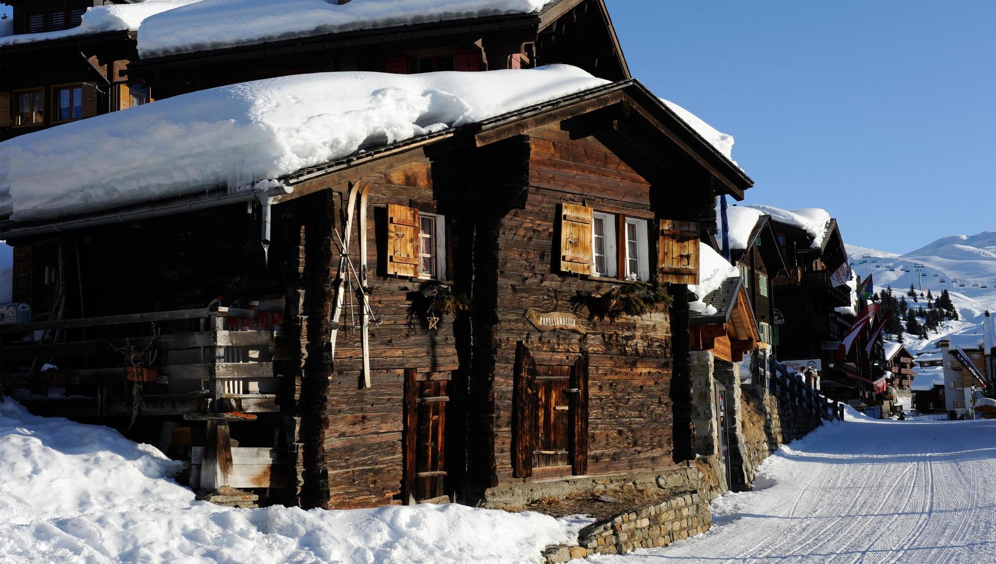
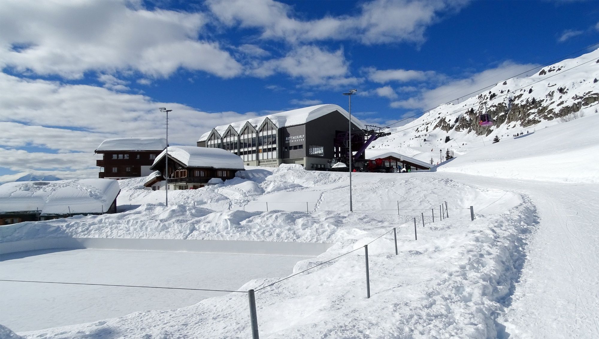
From the mountain station of the Bettmeralp cable car, walk through Bettmeralp village as far as the valley station of the Bettmerhorn cable car. From there, follow the path which leads gently uphill to Lake Bettmersee. There you head west along the level path past the cross-country ski trail and the Blausee Schönbodu piste. The winter hiking trail now rises gently towards the middle station of the Blausee chairlift. At the reservoir, use the underpass to cross the piste. The following level section, as far as the mountain station of the Golmen lift, is shared with tobogganers. From the Golmen Lift mountain station, the trail takes you back downhill: at first parallel to the ski piste as far as the Gopplerlücke Alpine stables, then on to the Gletscherbahn Moosfluh valley station. From there, follow the trail west to Riederalp Mitte.
- Directions
-
Bettmeralp – Bettmersee – Gopplerlücke - Riederalp Mitte
From the mountain station of the Bettmeralp cable car, walk through Bettmeralp village as far as the valley station of the Bettmerhorn cable car. From there, follow the path which leads gently uphill to Lake Bettmersee. There you head west along the level path past the cross-country ski trail and the Blausee Schönbodu piste. The winter hiking trail now rises gently towards the middle station of the Blausee chairlift. At the reservoir, use the underpass to cross the piste. The following level section, as far as the mountain station of the Golmen lift, is shared with tobogganers. From the Golmen Lift mountain station, the trail takes you back downhill: at first parallel to the ski piste as far as the Gopplerlücke Alpine stables, then on to the Gletscherbahn Moosfluh valley station. From there, follow the trail west to Riederalp Mitte.
- Highest point
- 2,065 m
- Endpoint
-
Riederalp Mitte
- Height profile
-
 © outdooractive.com
 - Equipment
-
We recommend:
good footwear clothing suitable for the weather: always carry a waterproof jacket hat or cap sunscreen bottle for water, picnic camera hikingpoles (optional) printout of this hike (click “Print” icon, top right, to download) - Safety instructions
-
Use of the trails and the information on this website is at hikers’ own risk. Local conditions may entail changes to routes.
Bring a map. Download full description of this route including large-scale map by clicking on “Print” icon, top right of this page.
Use marked trails only, and observe all signposting – for your own safety, to safeguard grazing animals and to avoid disturbing wildlife.
Please be considerate to other trail users, and to the plants and animals. Do not leaveanywaste in nature.
Take extra care protecting yourself from the sun at altitude. UV radiation can be exceptionally strong, even in cloudy weather.
Plan hike carefully: take into consideration fitness level of each participant, weather forecast and season.
Weather conditions can change quickly in the mountains, without warning. Appropriate clothing is therefore essential, along with adequate supplies of food and water. In uncertainweather, turn back in good time.
Do not venture onto glaciers without a mountain guide.
Take note of the warning signs that point out the constant danger, especially the danger of avalanches.
Inform others of planned route, and whenever possible, avoid going alone.
Note(s)
The altitude and the route mean that good footwear is absolutely essential for this winter hike. - Tips
-
The Matterhorn is considered one of the world’s most beautiful mountains. On this route, you never lose sight of this impressive “four-thousander”.
- Additional information
- Directions
-
Take Kantonsstrasse 19 to the Betten Valley Station exit. Take the Bettmeralp cable car (Aletsch Bahnen AG) up to Bettmeralp.
- Public transportation
-
By train from Brig or Oberwald to Betten valley station. Take the Bettmeralp cable car (Aletsch Bahnen AG) up to Bettmeralp.
- Parking
-
Large pay car park near the valley station of the Bettmeralp cable car (Aletsch Bahnen AG).


- Author
-
The tour Winter trail Bettmersee - Gopplerlücke is used by outdooractive.com provided.


General info
-
Aletsch Arena
177
-
Brig Simplon
69
-
Bettmeralp
14


 Fiescheralp zur Riederalp")