
© NIVEA Wandertour/Randonnées NIVEA - Schweizer Wanderwege / Suisse Rando


- Brief description
-
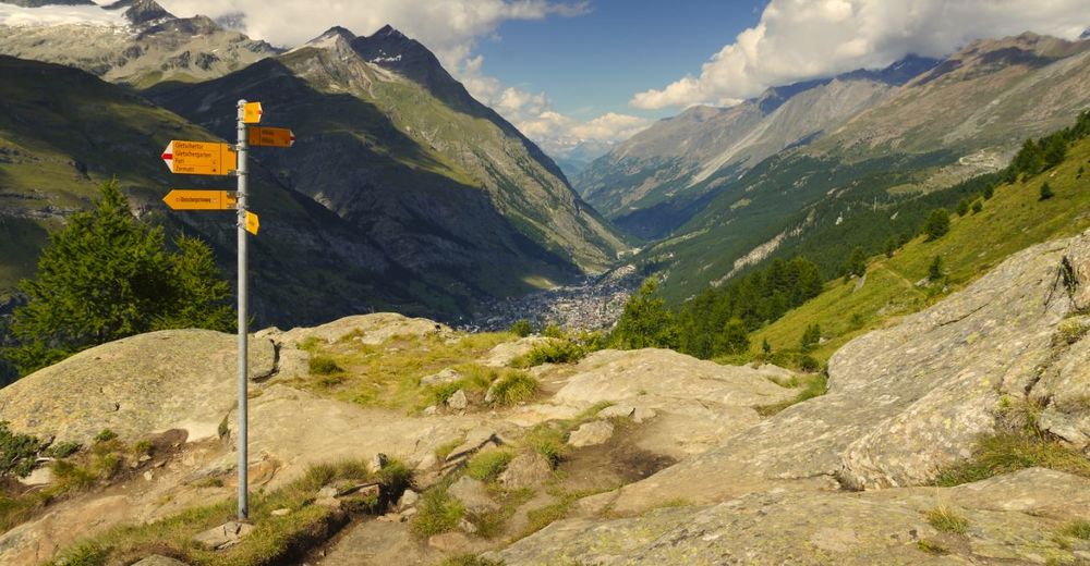
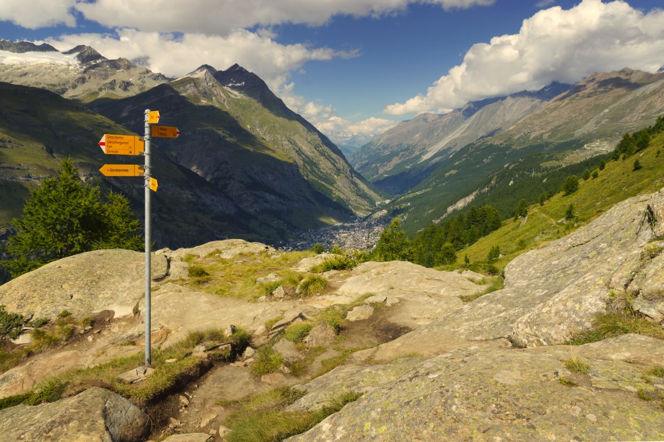
Urtümliche Kraft der Gletscher
- Difficulty
-
medium
- Rating
-
- Route
-
RiffelalpAl Bosco0.3 kmRiffelalp (2,222 m)0.3 kmFuri (1,864 m)6.3 kmFuri6.4 kmZum See6.9 kmKapelle Zum See, Heilige Barbara7.0 kmKirche St. Mauritius9.1 kmZermatt (1,608 m)9.3 km
- Best season
-
JanFebMarAprMayJunJulAugSepOctNovDec
- Highest point
- 2,289 m
- Endpoint
-
Bahnhof von Zermatt
- Height profile
-
 © outdooractive.com
- Author
-
The tour Route Riffelalp – Zermatt is used by outdooractive.com provided.
GPS Downloads
General info
Refreshment stop
A lot of view
Other tours in the regions
-
Unterwallis
1196
-
Mattertal
555
-
Zermatt
154


")


