


- Brief description
-
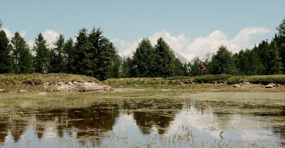
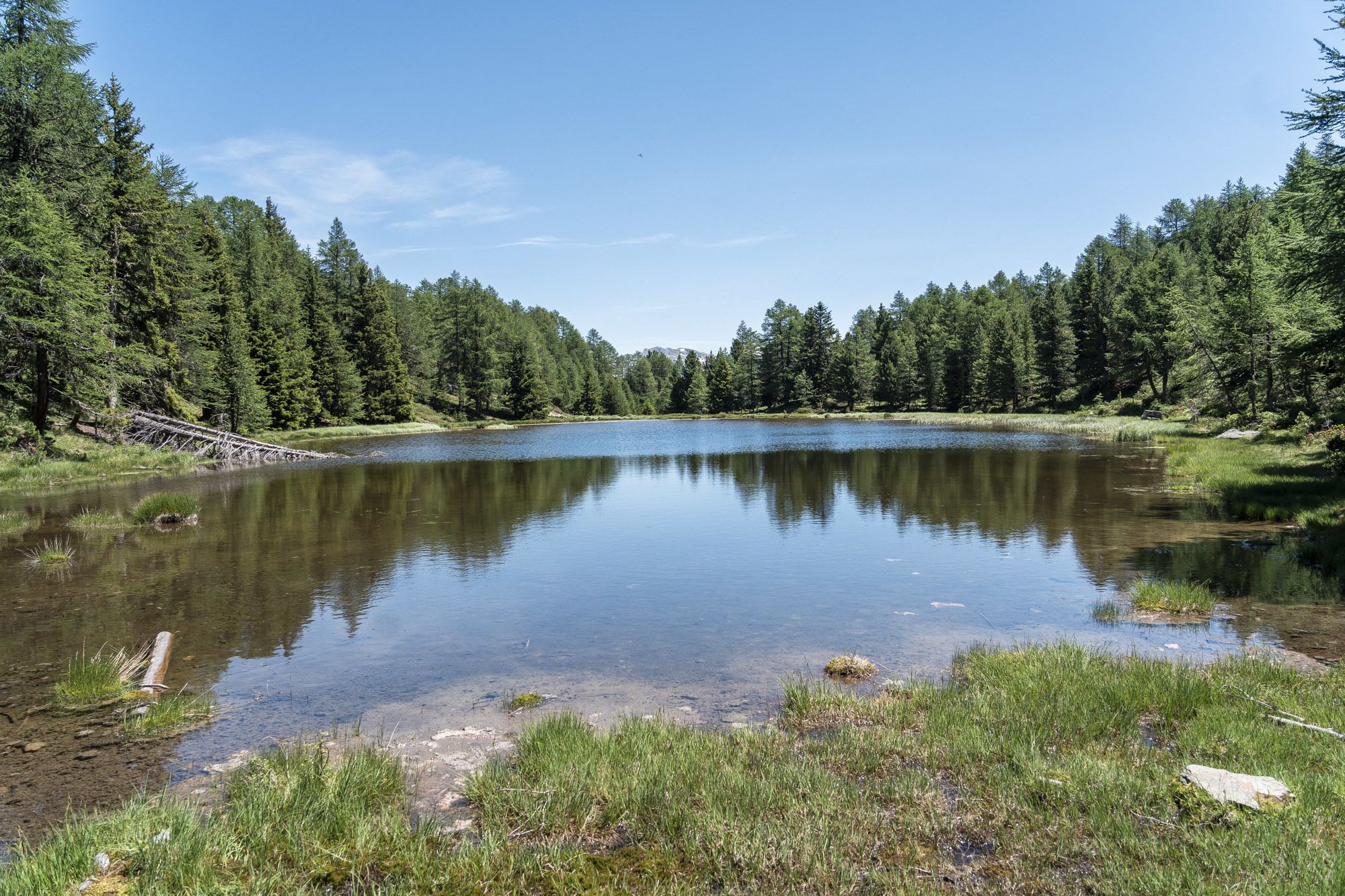
This walk from Moosalp to Zeneggen leads through a region known for its peat bogs and small mountain lakes via the old “Suone” water channel.
- Difficulty
-
medium
- Rating
-
- Starting point
-
Moosalp
- Route
-
DorbiaMoosalp (2,048 m)0.1 kmStand1.6 kmDiebja5.7 kmEgga7.1 kmZeneggen (1,367 m)7.1 kmAufbahrungskapelle7.1 km
- Best season
-
JanFebMarAprMayJunJulAugSepOctNovDec
- Description
-
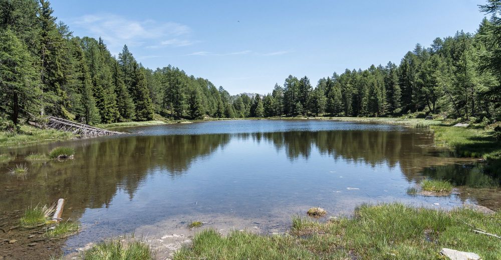
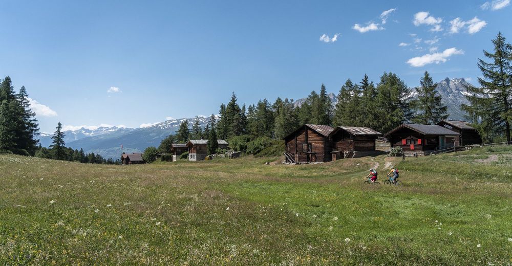
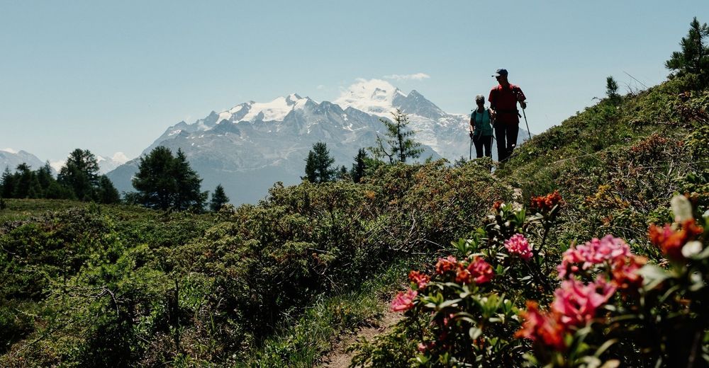
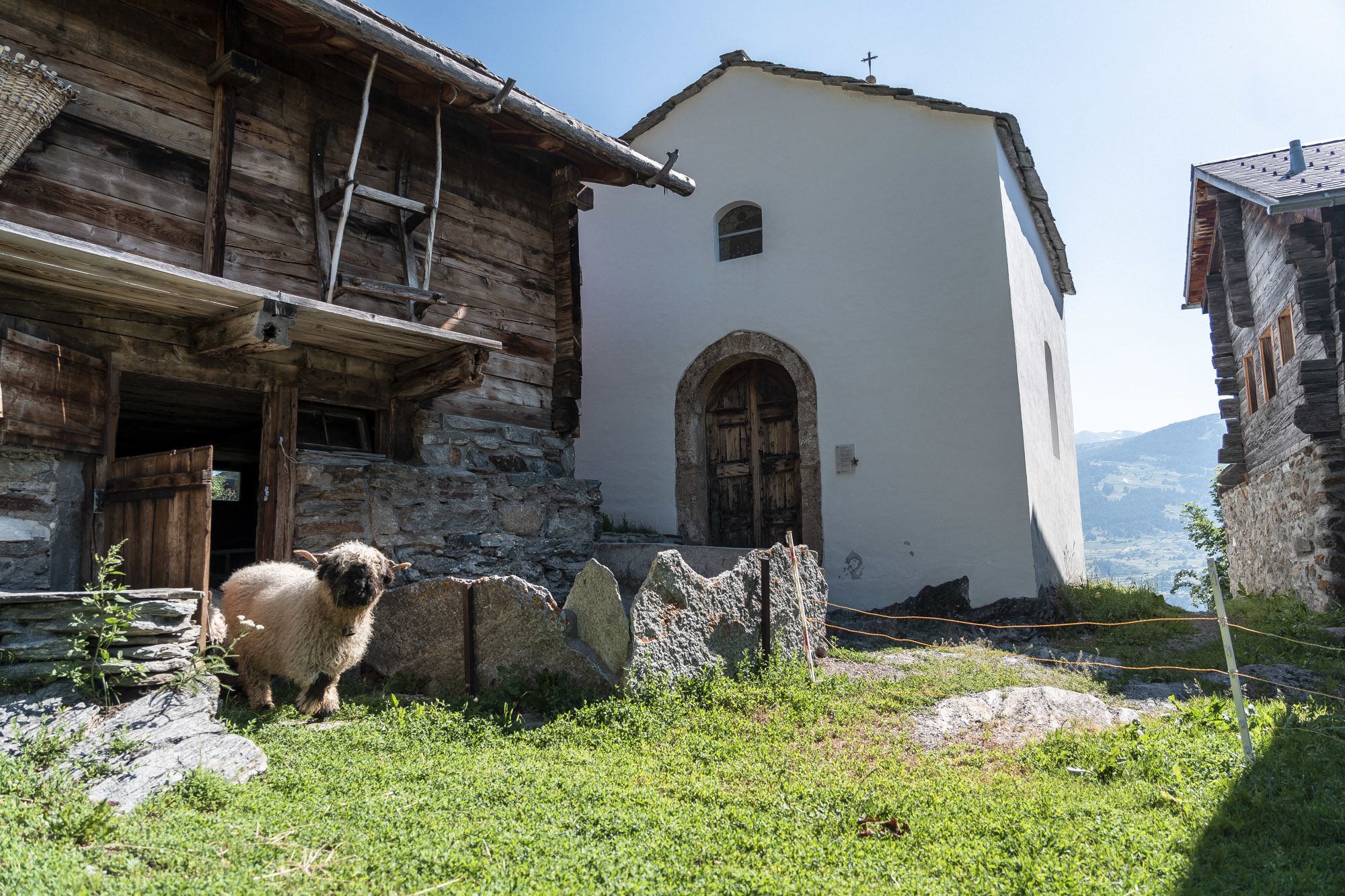
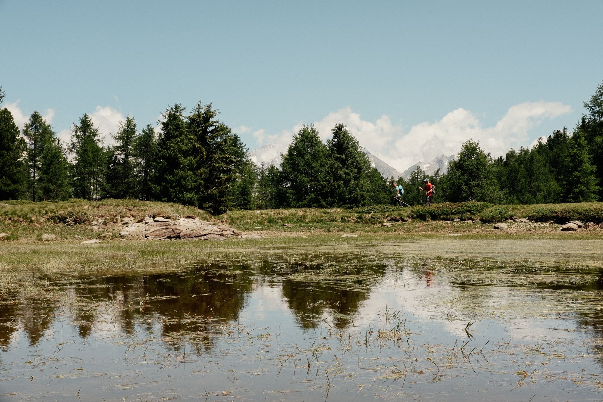
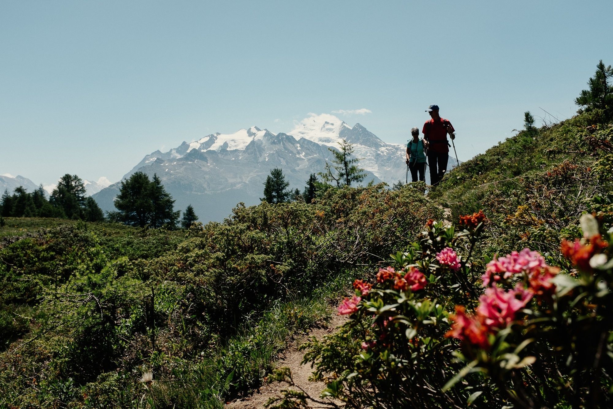
Starting at Moosalp, head first of all to the Stand vantage point, from which you can enjoy a magnificent view of the Valais Alps. Then head down to the Bonigersee lake, located within the Moosalp nature reserve. Your route allows you to walk around the Diepjen pond, and then follows the water channel that starts at the reservoir for Zeneggen’s drinking water. Continue to the chapel of Biel and then the village of Zeneggen, which is linked by PostBus to Visp.
- Directions
-
From Moosalp, follow the signs to the Stand vantage point, and then towards Bonigersee-Breitmatte. From Breitmatte, you descend through the forest to Zeneggen. When you reach the village, you can travel down to Visp (for rail connections) by PostBus.
- Highest point
- 2,117 m
- Endpoint
-
Zeneggen
- Height profile
-
 © outdooractive.com
 - Equipment
-
We recommend:
good footwear clothing suitable for the weather: always carry a waterproof jacket hat or cap sunscreen bottle for water picnic camera binoculars (optional) hiking poles (optional) printout of this hike (click “Print” icon, to download)For certain walks:
Swimwear - Safety instructions
-
Use of the trails and the information on this website is at hikers’ own risk. Local conditions may entail changes to routes. Valais/Wallis Promotion accepts no liability for the accuracy and completeness of information on this website.
For all hikes:
Bring a map. Download full description of this route including large-scale map by clicking on “Print” icon, top right of this page. Use marked trails only, and observe all signposting – for your own safety, to safeguard grazing animals and to avoid disturbing wildlife. Close gates after passing through. Please be considerate to other trail users, and to the plants and animals. Do not leave any waste in nature.For mountain hikes:
Take extra care protecting yourself from the sun at altitude. UV radiation can be exceptionally strong, even in cloudy weather. Plan hike carefully: take into consideration fitness level of each participant, weather forecast and season. Weather conditions can change quickly in the mountains, without warning. Appropriate clothing is therefore essential, along with adequate supplies of food and water. In uncertain weather, turn back in good time.For high-altitude hikes:
Inform others of the route you plan to take. Whenever possible, avoid going alone. Do not venture onto glaciers without a mountain guide. Take note of the warning signs that point out the constant danger in river beds and along watercourses below dams and reservoirs: water levels may rise rapidly without warning. - Tips
-
At the top of the Moosalp col, don’t miss the delicious mille-feuille cakes at the Restaurant Moosalp!
- Additional information
- Directions
-
It is best to park in Visp and continue your journey by public transport (see section on access by public transport).
- Public transportation
-
From Visp railway station, take the PostBus up to Moosalp, starting point of the walk. When you reach the finish at the village of Zeneggen, another PostBus can take you back to Visp.
- Parking
-
We recommend parking in the car park by Visp railway station.

- Author
-
The tour Wasserlehrpfad is used by outdooractive.com provided.


General info
-
Oberwallis
1871
-
Rund um Visp
846
-
Zeneggen
167


