
- Brief description
-
Last stage of the Via Francigena in Switzerland
- Difficulty
-
difficult
- Rating
-
- Starting point
-
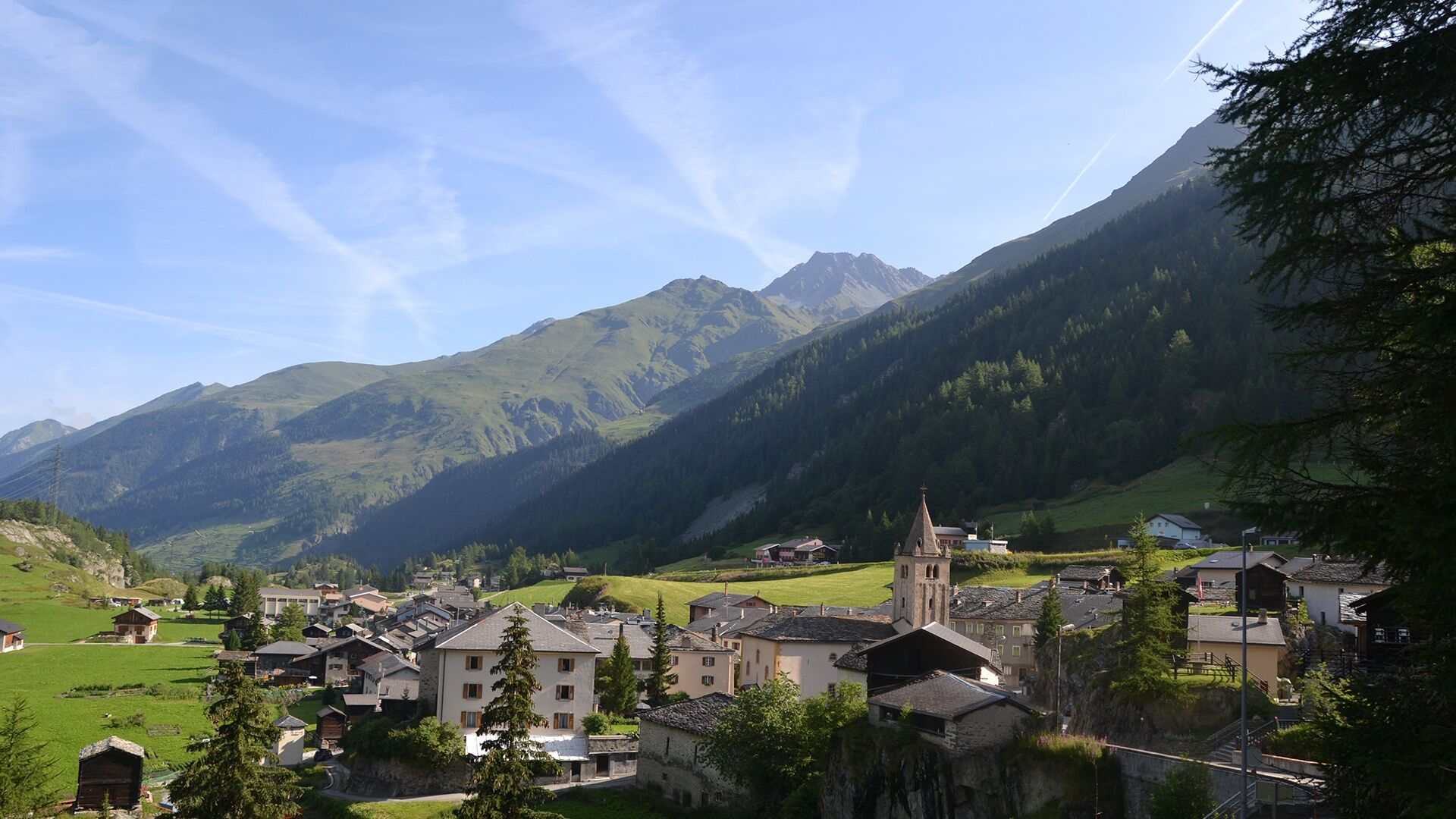
Centre of the village of Bourg-St-Pierre
- Route
-
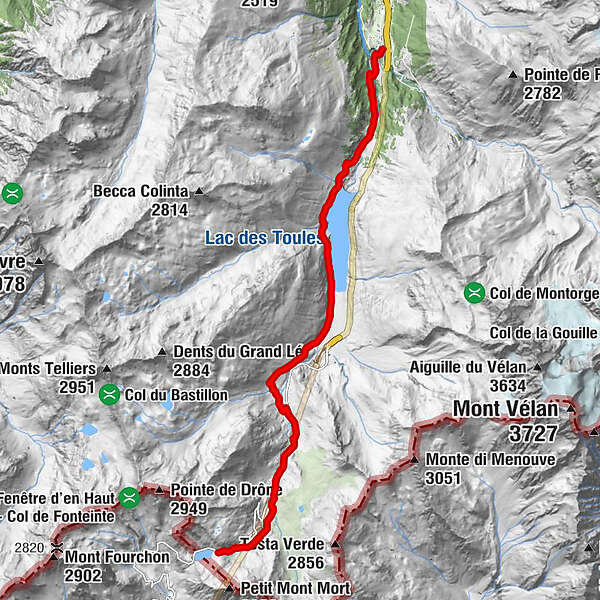
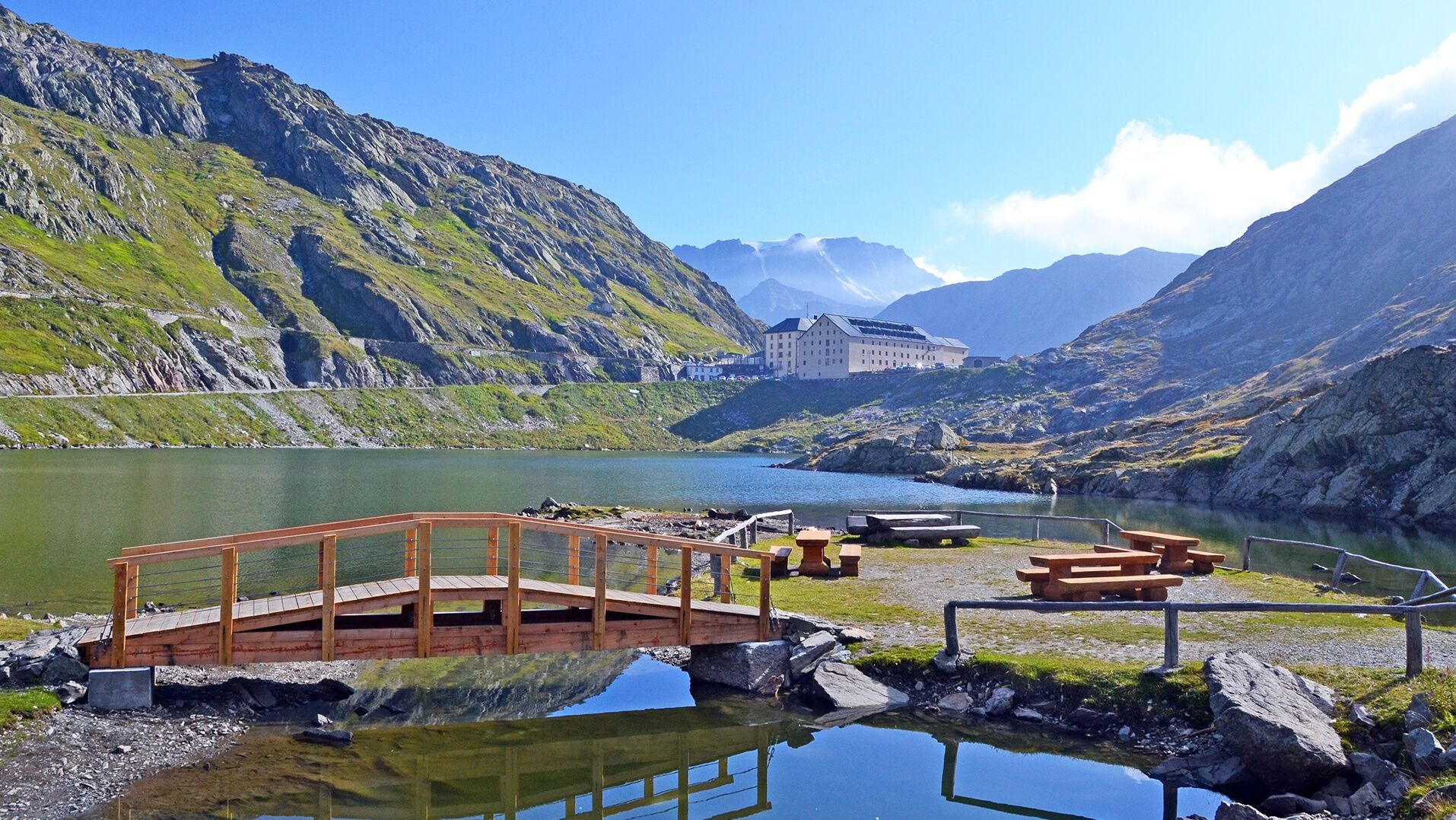
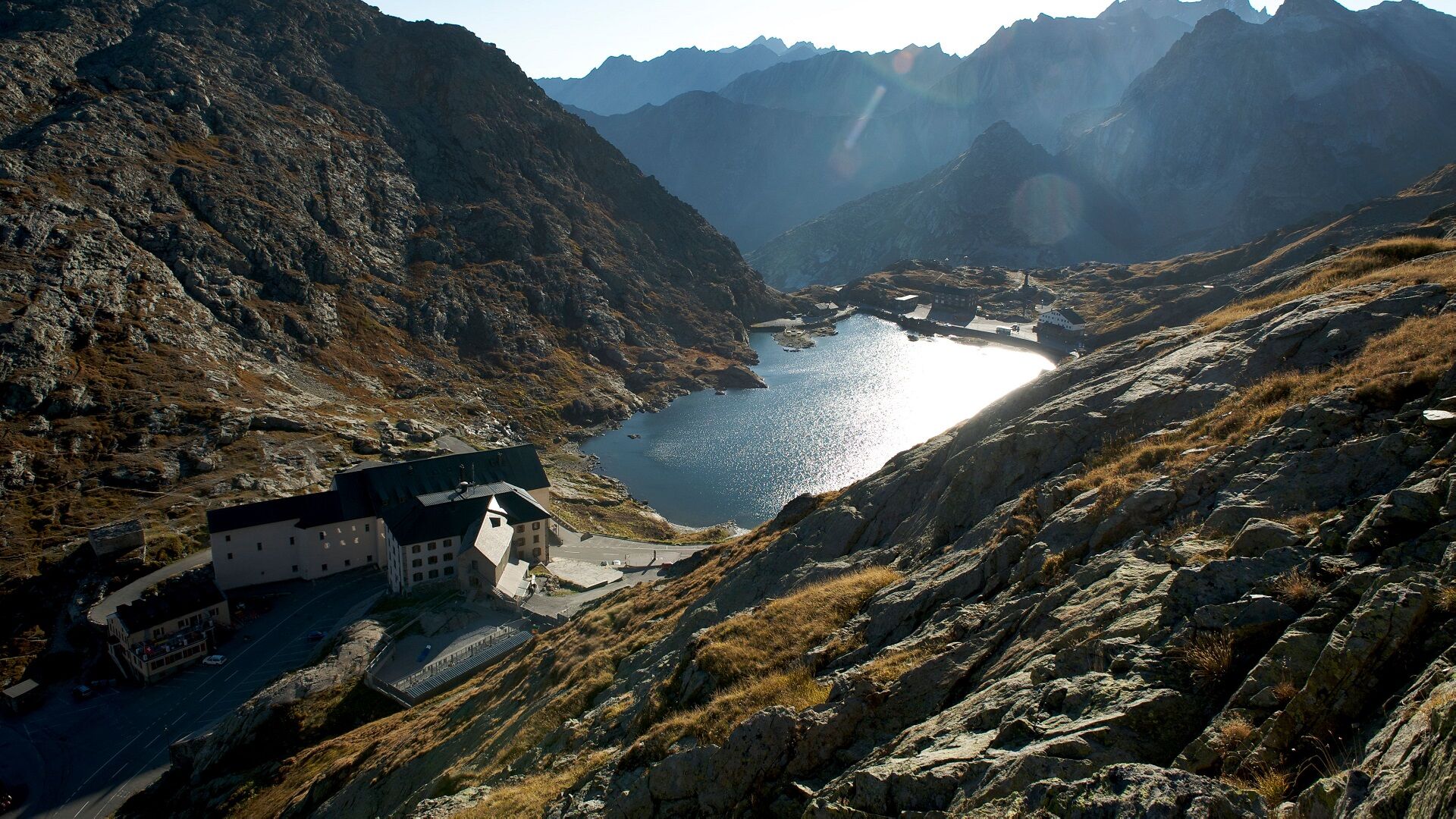
Bourg-Saint-Pierre (1,632 m)Eglise Saint-Pierre0.0 kmLe Tronchet10.3 kmCombe des Morts10.7 kmHôtel de l'Hospice11.5 kmGreat St Bernard Hospice11.5 km
- Best season
-
JanFebMarAprMayJunJulAugSepOctNovDec
- Description
-
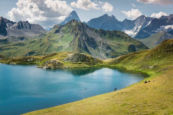
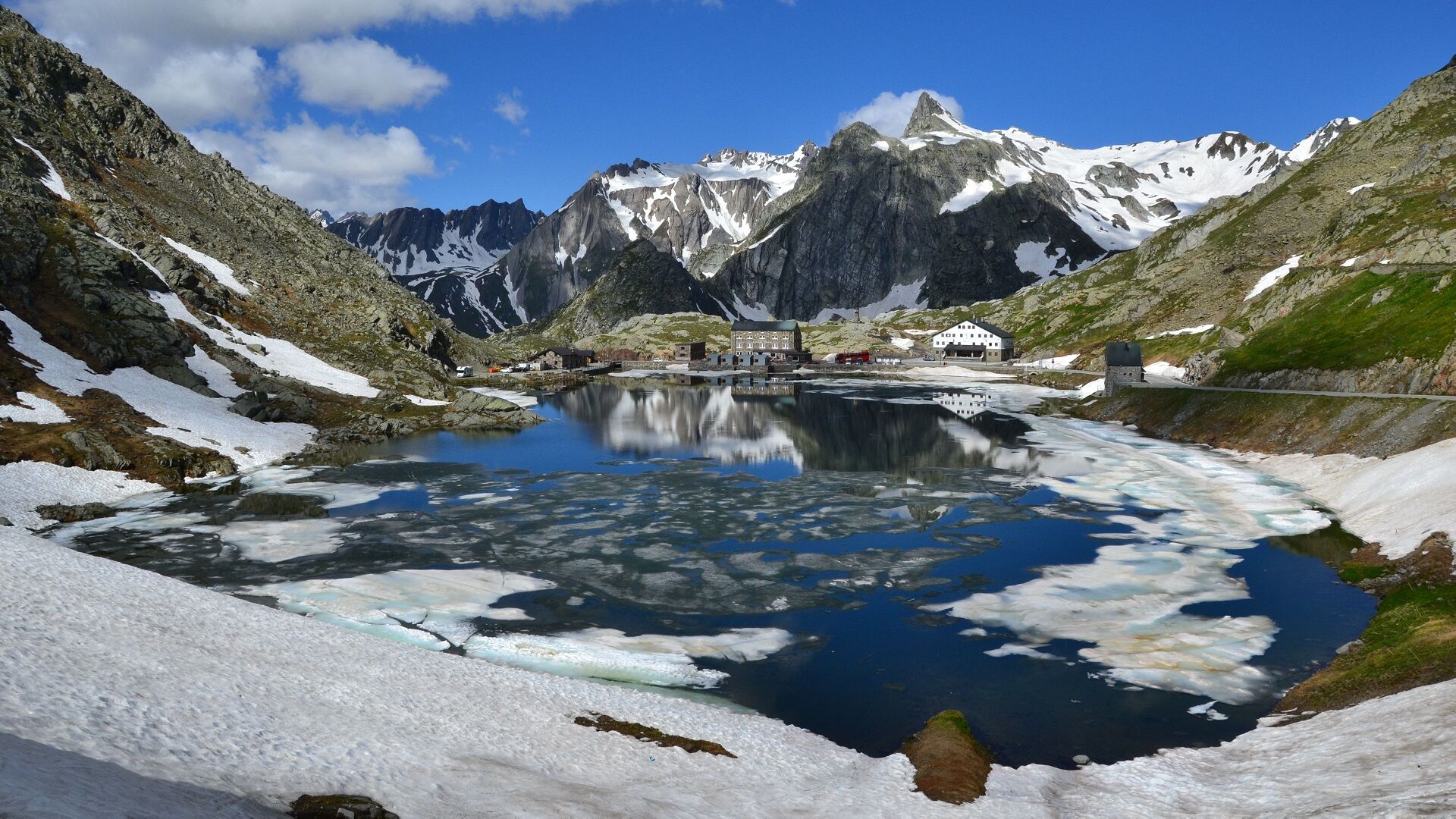
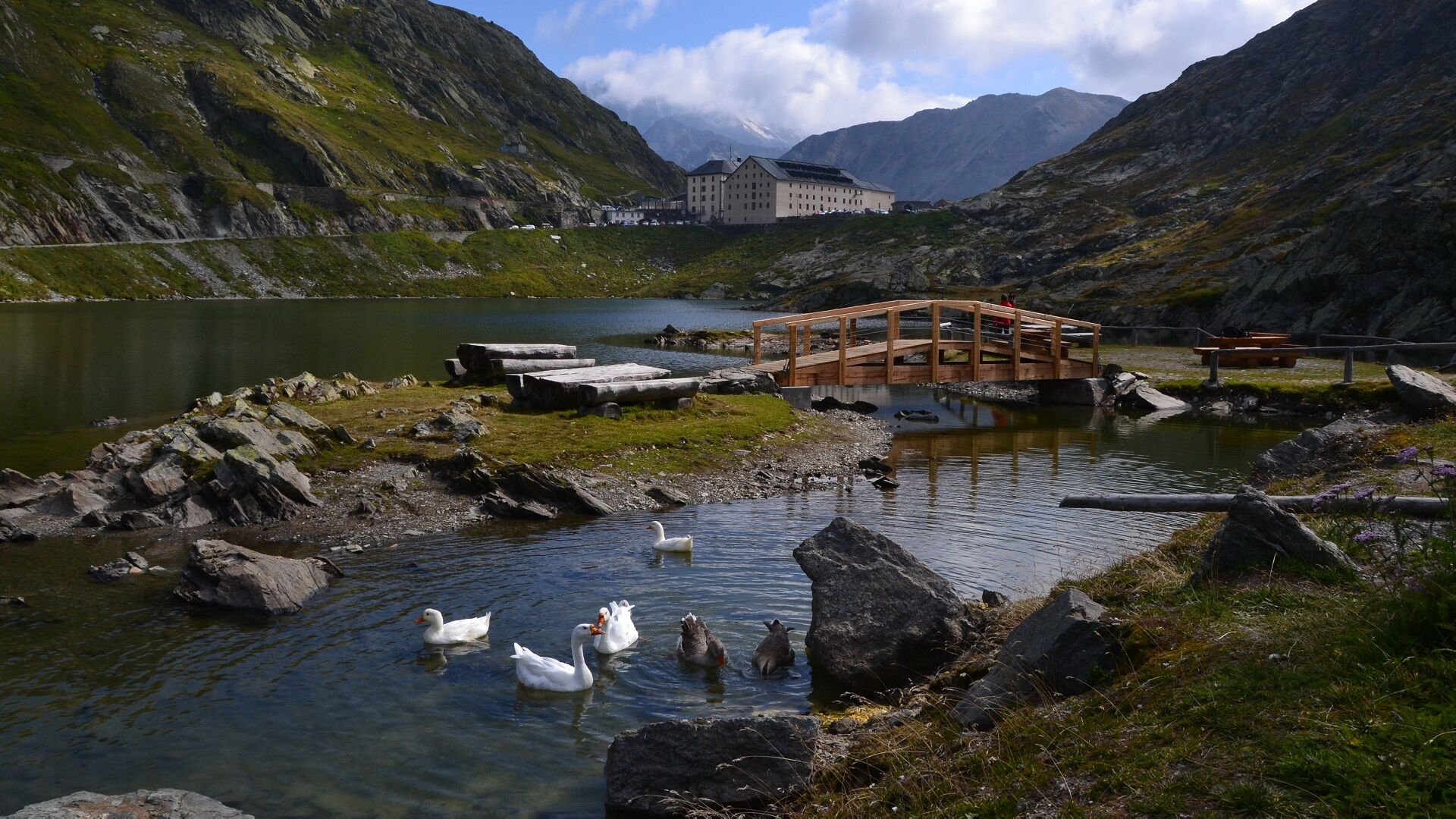
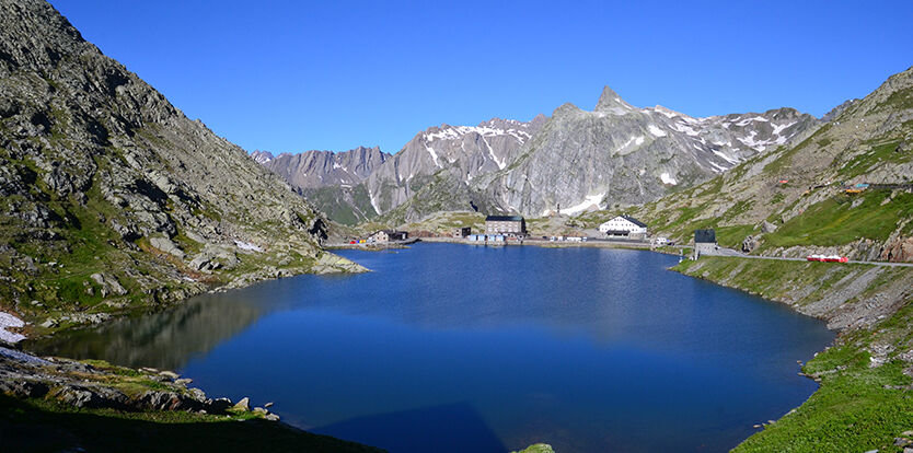
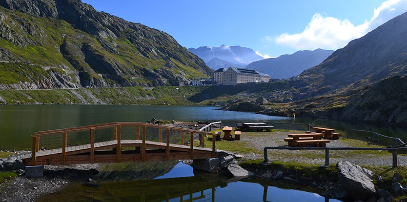
Walking this stage of the Via Francigena is perhaps the most symbolic section of the entire itinerary to reach the Great St. Bernard Hospice at 2470 metres, the highest point between Canterbury and Rome.
- Directions
-
Go through the village on the old road, then leave it on the right to go down to the Dranse river which you have to cross. Continue on the road that leads to the top of the wall of the Toules dam.
Go along the dam to almost reach the road that goes up to the pass. Go through the alpine pasture of La Pierre and then l'Hospitalet, cross the road and continue to arrive near the second chimney of the tunnel. Continue through the Combe des Morts to reach the Col du Grand-St-Bernard.
- Highest point
- 2,461 m
- Endpoint
-
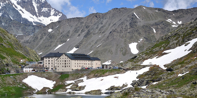
Hospice of the Grand-Saint-Bernard
- Height profile
-
 © outdooractive.com
 - Tips
-
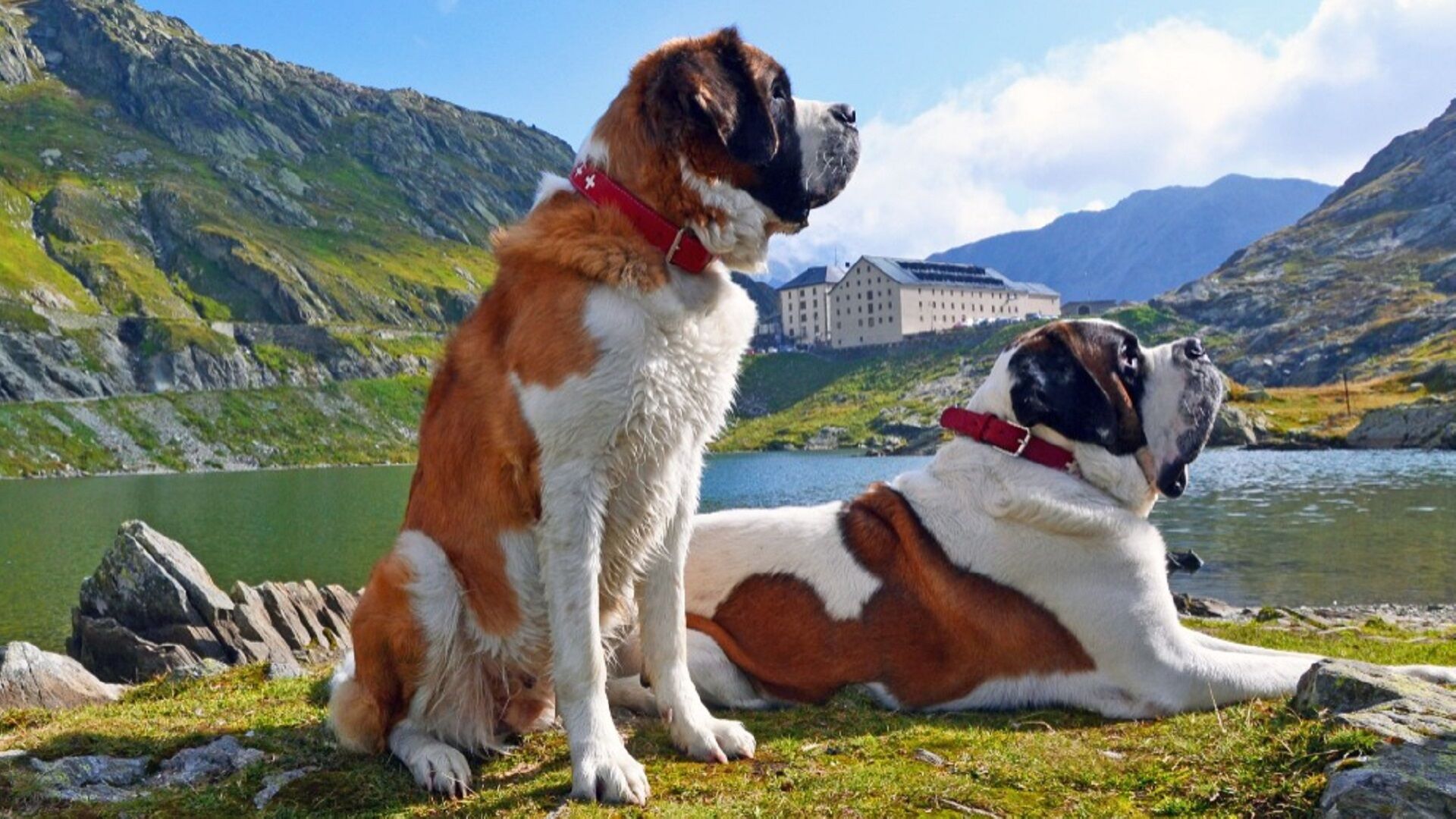
Don't miss a visit to the treasury and the hospice church, the museum and the kennel with its famous St. Bernard dogs!
- Directions
-
Exit the motorway at Martigny.
Follow the direction Grand-Saint-Bernard to Bourg-St-Pierre.
- Public transportation
- Parking
-
Free parking in front of the community house
- Author
-
The tour Via Francigena Bourg-St-Pierre - Grand-St-Bernard is used by outdooractive.com provided.


General info
-
Unterwallis
1201
-
Pays du Saint-Bernard
323
-
Bourg-St-Pierre
96