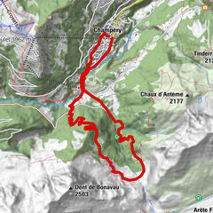
- Brief description
-
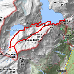
Ascent to the Saleinaz hut from Praz-de-Fort.
- Difficulty
-
difficult
- Rating
-
- Route
-
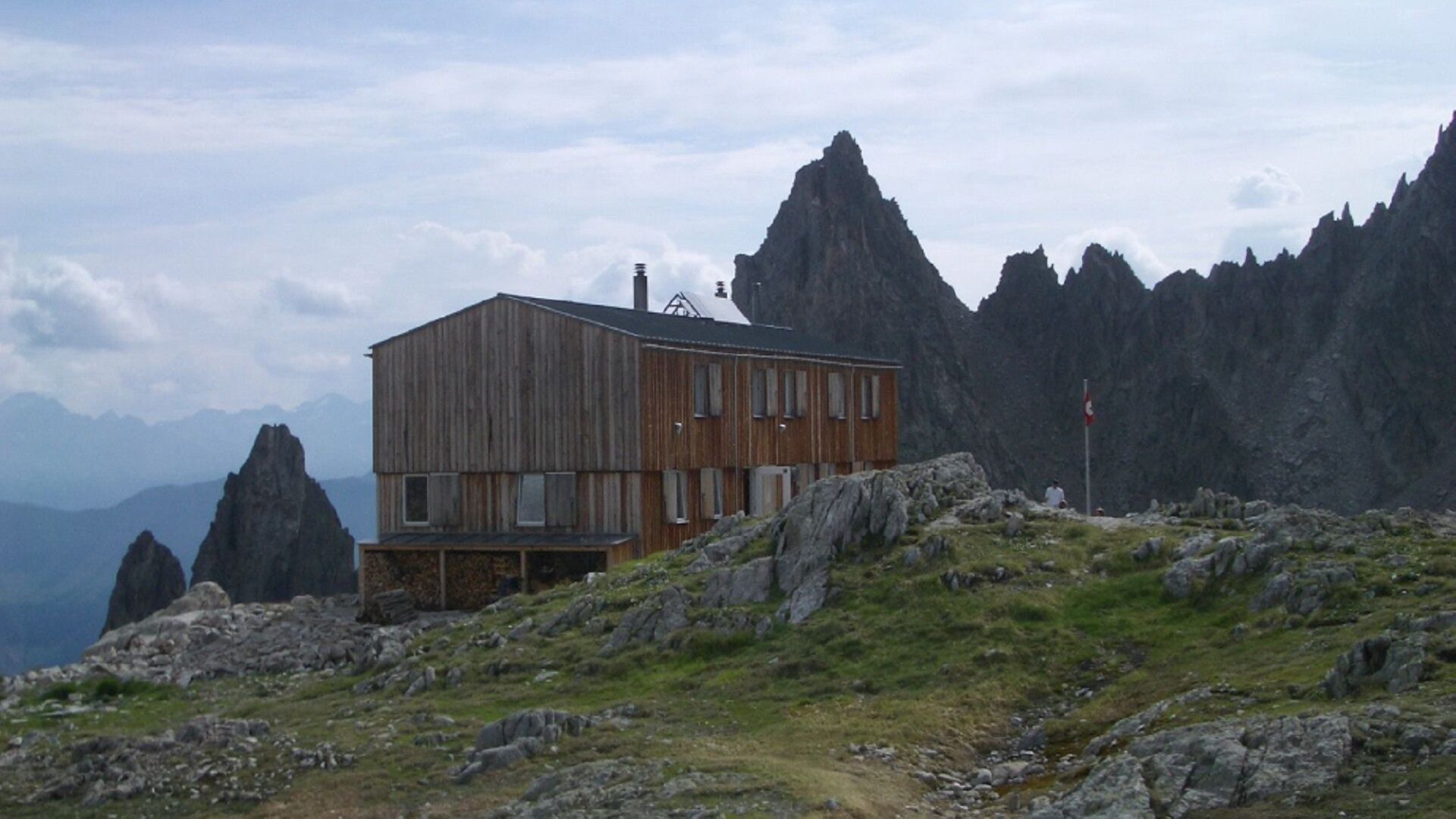
Saleinaz
- Best season
-
JanFebMarAprMayJunJulAugSepOctNovDec
- Description
-
Challenging hike to reach the Saleinaz hut in 4h30.
- Directions
-
From the village of Saleina, go up into the forest on the left bank of the "Reuse de Saleina". Cross the river at the water intake and go up to the right bank to pass through chains on the moraine. Turn south-west and cross the scree to reach the hut.
- Highest point
- 2,666 m
- Height profile
-
 © outdooractive.com
 - Equipment
-
Good walking shoes.
- Safety instructions
-
Steep passage equipped with chains on the course.
- Directions
-
Exit the motorway at Martigny.
Follow the direction Grand-Saint-Bernard then leave the main road at Orsières and follow La Fouly to Saleinaz.
- Public transportation
- Parking
-
Free parking near the bus stop.


- Author
-
The tour Hut of Saleinaz is used by outdooractive.com provided.
GPS Downloads


General info
Healthy climate
A lot of view
Other tours in the regions
-
Unterwallis
1201
-
Pays du Saint-Bernard
323
-
Champex-Lac
104