
- Brief description
-
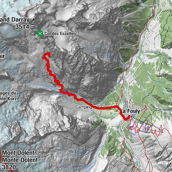
Ascent of 3h30 to reach the Cabane de l'A Neuve from la Fouly.
- Difficulty
-
difficult
- Rating
-
- Starting point
-
La Fouly
- Route
-
La FoulyAuberge des GlaciersCabane de l'A Neuve CAS5.6 km
- Best season
-
JanFebMarAprMayJunJulAugSepOctNovDec
- Description
-
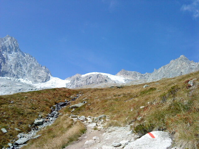
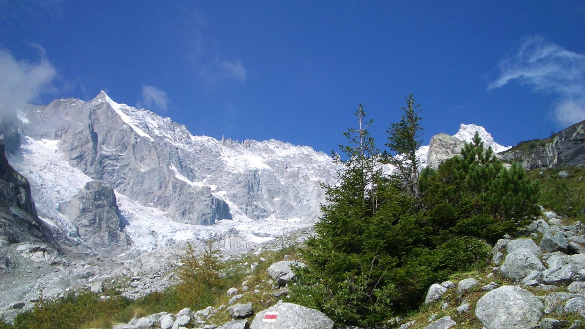
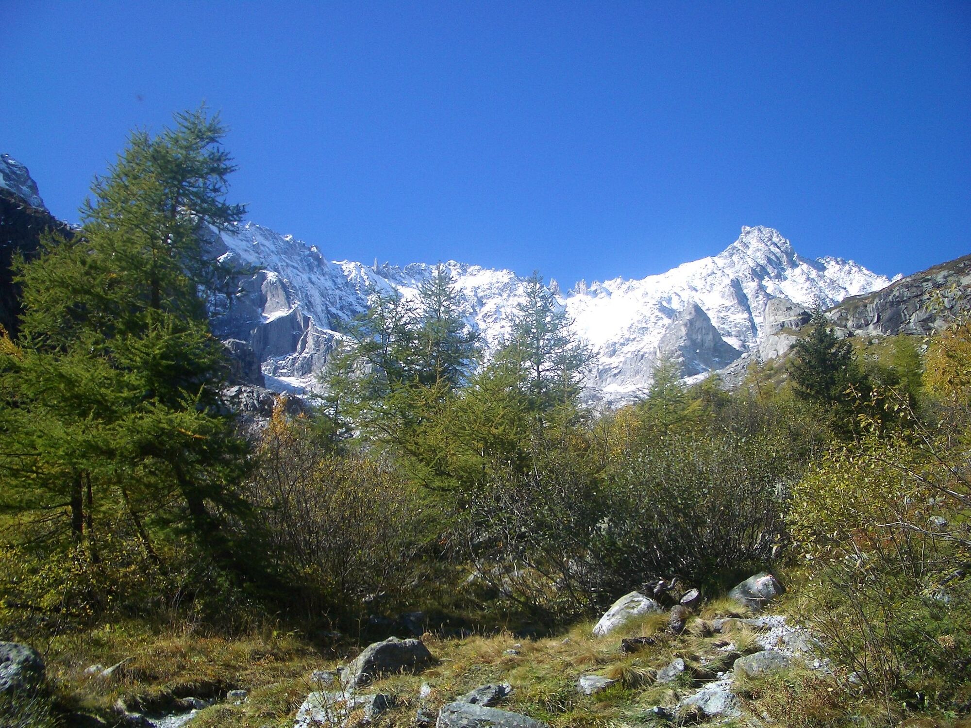
From the village of La Fouly, this path takes you along the Torrent La Reuse de l'Amône to the hut perched on its promontory.
- Directions
-
The start of this sporty ascent starts at the campsite. The path runs along the Reuse de l'Amône to the place called Pierre Javelle. The winding path is equipped with chains on some passages. You will then reach the A Neuve hut and will be rewarded by the magnificent panorama.
- Highest point
- 2,735 m
- Endpoint
-
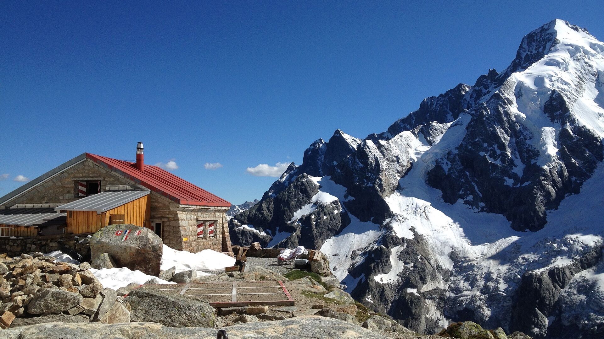
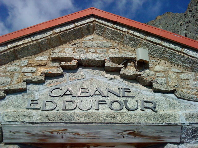
Cabane de l'A Neuve
- Height profile
-
 © outdooractive.com
 - Equipment
-
Walking shoes, sticks.
- Tips
-
Enjoy the delicious homemade pies at the cabin.
- Directions
-
Exit the motorway at Martigny.
Follow the direction Grand-Saint-Bernard then leave the main road at Orsières and follow La Fouly.
- Public transportation
- Parking
-
You can park at the bottom of the slopes, towards the tourist office of La Fouly, free of charge.
- Author
-
The tour Cabane de l'A Neuve is used by outdooractive.com provided.


General info
-
Unterwallis
1201
-
Pays du Saint-Bernard
323
-
Val Ferret - La Fouly
113