© Horizons Valaisans

- Brief description
- Difficulty
-
difficult
- Rating
-
- Starting point
-
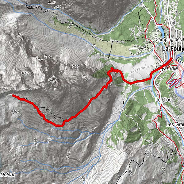
La Fouly
- Route
-
La FoulyAuberge des GlaciersBivouac du Dolent3.7 km
- Best season
-
JanFebMarAprMayJunJulAugSepOctNovDec
- Description
-
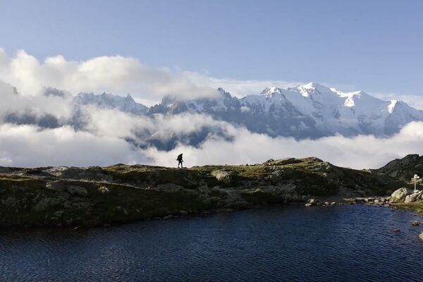
Very steep ascent to the Bivouac du Dolent at more than 2'700m of altitude.
- Directions
-
The start of this sporty climb starts at the tourist office. Turn left after the bridge to cross the A Neuve plateau before starting the difficult ascent with chains and ladders. Then continue southwards over the Combe des Fonds before the final climb westwards to reach an old moraine and the Bivouac.
Photo: http://www.guides06.com
- Highest point
- 2,640 m
- Endpoint
-
Bivouac du Dolent
- Height profile
-
 © outdooractive.com
 - Equipment
-
Walking shoes.
- Safety instructions
-
Several overhead passages equipped with chains and ladders.
- Directions
-
Exit the motorway at Martigny.
Follow the direction Grand-Saint-Bernard then leave the main road at Orsières and follow La Fouly.
- Public transportation
- Parking
-
You can park at the bottom of the slopes, at the tourist office of La Fouly, free of charge.


- Author
-
The tour Bivouac du Dolent is used by outdooractive.com provided.
GPS Downloads


General info
Healthy climate
A lot of view
Other tours in the regions
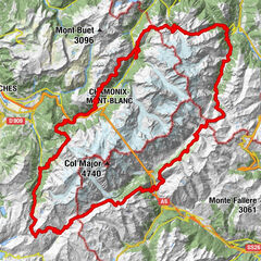
-
Unterwallis
1196
-
Pays du Saint-Bernard
319
-
Val Ferret - La Fouly
109