


- Brief description
-
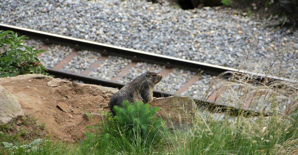
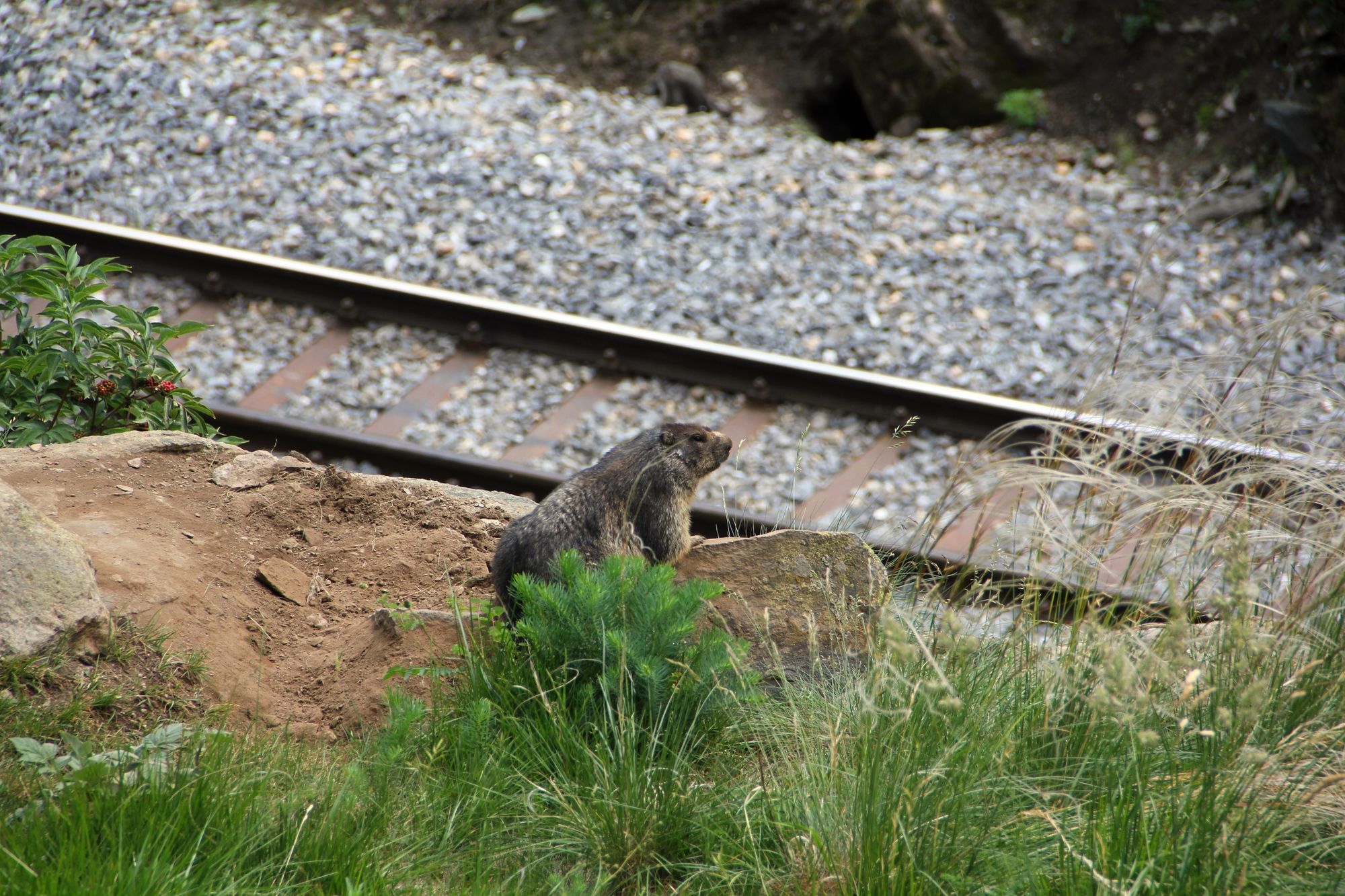
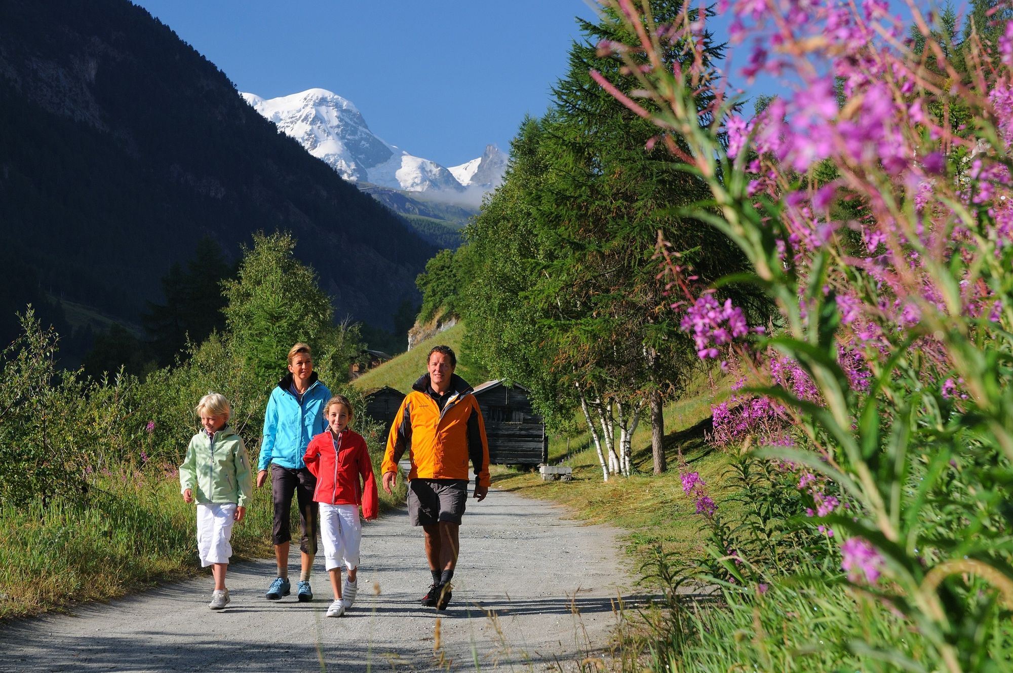
The Railway Trail makes an ideal family walk, offering close-up views of trains of the Matterhorn Gotthard Bahn. The area along the path is also home to marmots and many alpine flowers including some very rare species.
- Difficulty
-
easy
- Rating
-
- Starting point
-
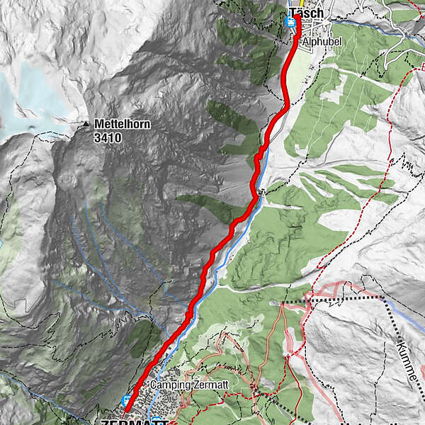
Täsch (1,450 m)
- Route
-
Täsch (1,449 m)0.0 kmRestaurant Walliserkanne0.1 kmTäscherhof0.1 kmZermatt (1,605 m)5.8 km
- Best season
-
JanFebMarAprMayJunJulAugSepOctNovDec
- Description
-
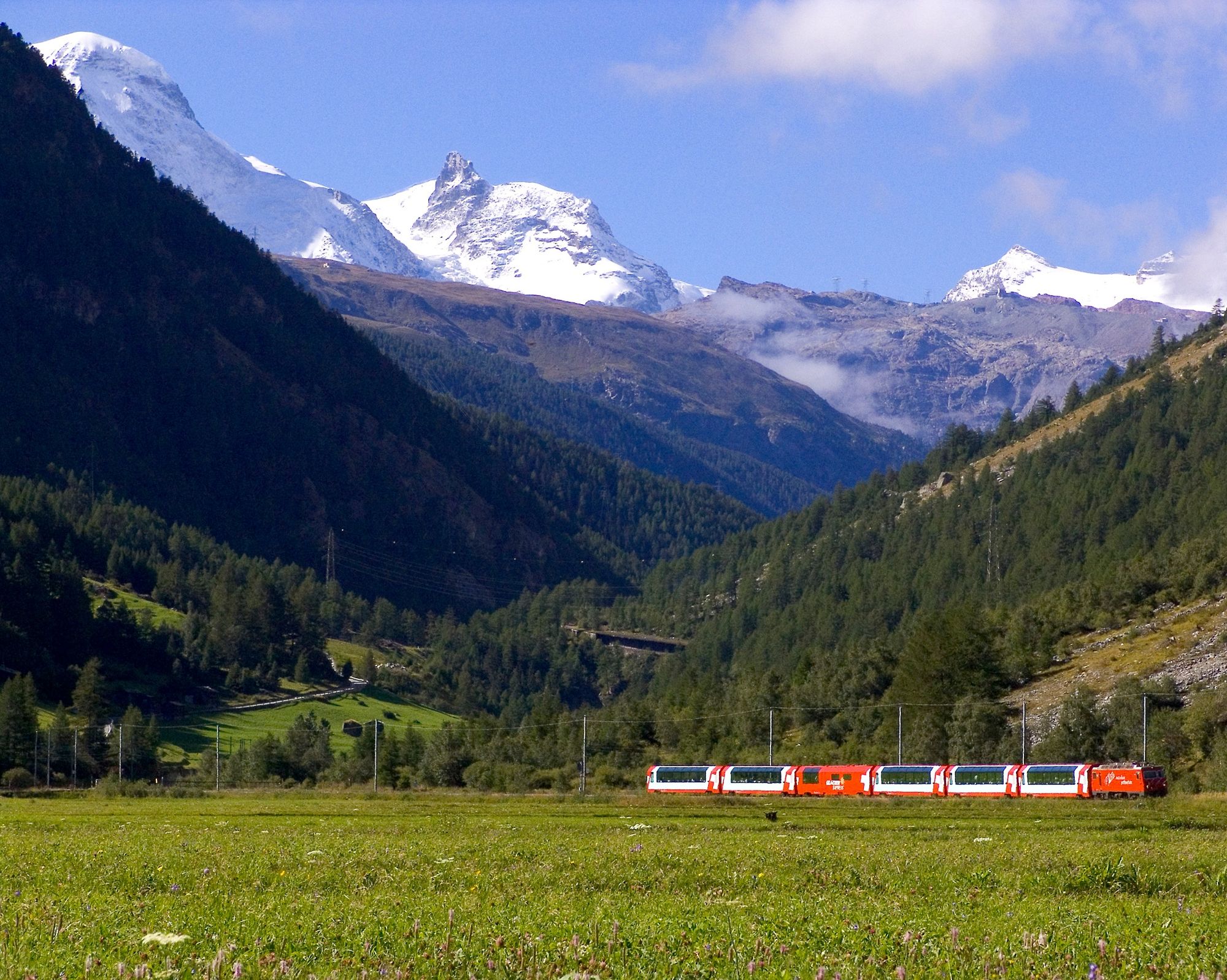
The path leads through a variety of terrain, across forest, meadows and pastures. Here the star attractions are the trains of the Matterhorn Gotthard Bahn – and, just before 9am and just after 5pm, the Glacier Express with its panoramic carriages. As walkers approach the large marmot colony, the furry rodents whistle in alarm and disappear into their burrows (the noise of the trains, however, does not disturb them at all). Hikers only have to sit still for a while for the charming creatures to appear again.
Depending on season, alpine columbine and other mountain flowers Marmots Barbecue site with picnic area Appropriate for children from age 4
At the Air Zermatt heliport at the entrance to Zermatt, weather permitting, walkers can watch the movements of the helicopters. The dramatic take-offs and landings are often a matter of life and death. On occasions, a helicopter will return from a mission with the mountain rescuer still balancing on the landing skid. - Directions
-
Täsch (station) - Zermatt (station)
(Hiking time in reverse direction: approx. 1h 20)
This hike is marked on the signposts as “Bahnweg Täsch - Zermatt”.
- Highest point
- 1,627 m
- Endpoint
-
Zermatt (1,620 m)
- Height profile
-
 © outdooractive.com
 - Equipment
-
We recommend:
Good footwear Hiking poles (optional) Clothing suitable for the weather (always carry a waterproof) - Safety instructions
-
Plan every mountain tour carefully and adapt to participants’ fitness level as well as the weather and season. Weather conditions can change quickly in the mountains. Appropriate clothing is therefore essential, along with adequate supplies of food and water. In uncertain weather, turn back in good time. Inform others of planned route, and whenever possible avoid going alone. Do not leave the marked routes; do not venture onto glaciers without a mountain guide. Please be considerate to other walkers and to plants and animals. Take note of the warning signs drawing attention to the constant danger in river beds and along watercourses below dams and reservoirs. Beware: railway crossing
Note: Please take note when the path is closed between late autumn and spring: avalanche risk!
- Tips
-
The benches above the Air Zermatt helicopter base are an invitation to sit and ponder. Depending on their missions, you can also watch the Air Zermatt team at work in the helicopter base.
- Directions
-
The drive from Visp to Täsch takes about 30–40 min. The road leads through the wild and beautiful Mattertal valley.
- Public transportation
-
By train to Täsch: less than 3½ hours from Zürich airport or 4 hours from Geneva airport. Change at Visp onto the Matterhorn Gotthard Bahn (Matterhorn Gotthard Railway). From Visp, the railway leads through the Mattertal valley past idyllic small villages to Täsch.
- Parking
-
Täsch has car parks with both covered and open-air parking – e.g. at the Matterhorn Terminal or privately operated facilities.
- Author
-
The tour Täsch-Zermatt Railway Trail (Nr. 50) is used by outdooractive.com provided.


General info
-
Oberwallis
1877
-
Mattertal
555
-
Zermatt
154


")
