
- Brief description
-
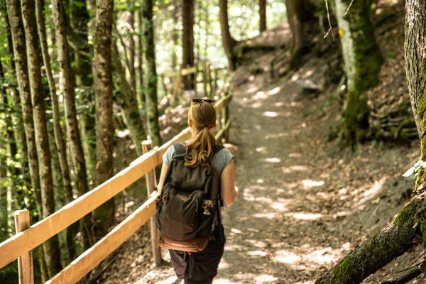
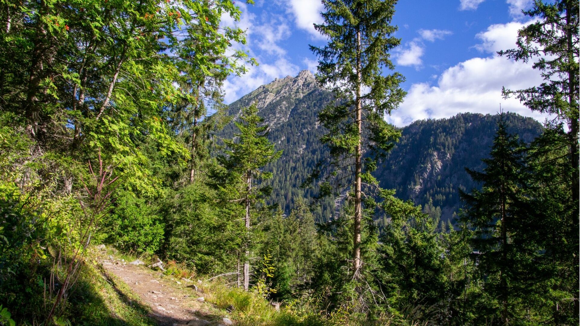
Family walk in the forest
- Difficulty
-
easy
- Rating
-
- Starting point
-
Parking by the chairlift
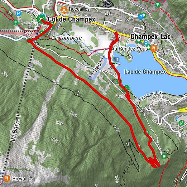
- Route
-
Champex-Lac2.7 km
- Best season
-
JanFebMarAprMayJunJulAugSepOctNovDec
- Description
-
One hour walk in the forest from Champex-Lac.
- Directions
-
Departure from the chairlift car park, follow the road that leads to Val d'Arpette for a few meters, then turn left and take the road that will take you to the end of the resort before coming back by the lakeside.
- Highest point
- 1,532 m
- Endpoint
-
Champex-Lac
- Height profile
-
 © outdooractive.com
 - Tips
-
The more sporty will be able to enjoy the "Parcours Vita" on the last part of the path.
- Arrival
-
Leave the motorway at Martigny.
Follow the direction Grand-Saint-Bernard then leave the main road at Orsières and follow Champex-Lac.
It is also possible to leave the main road at Bovernier and go through Les Valettes but the road is narrow and very winding.
- Public transportation
- Parking
-
You can park for free at the chairlift.


- Author
-
The tour "Les Fougères" path is used by outdooractive.com provided.
GPS Downloads


General info
Healthy climate
Other tours in the regions
-
Thyon les Collons
1426
-
Pays du Saint-Bernard
323
-
Champex-Lac
104