
- Brief description
-
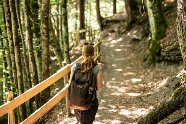
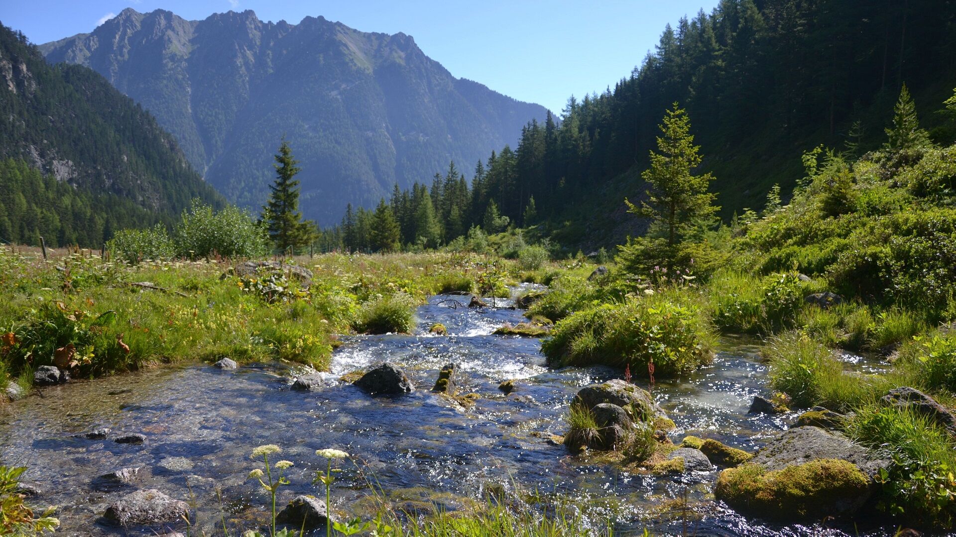
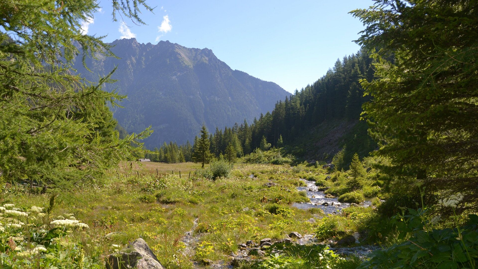
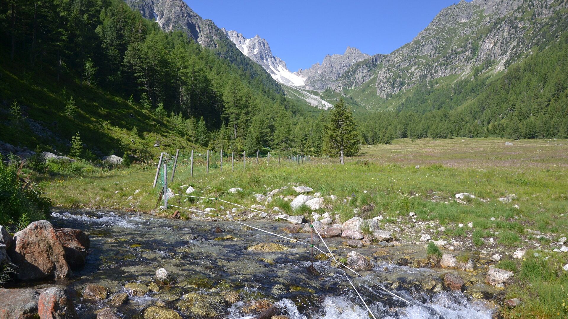
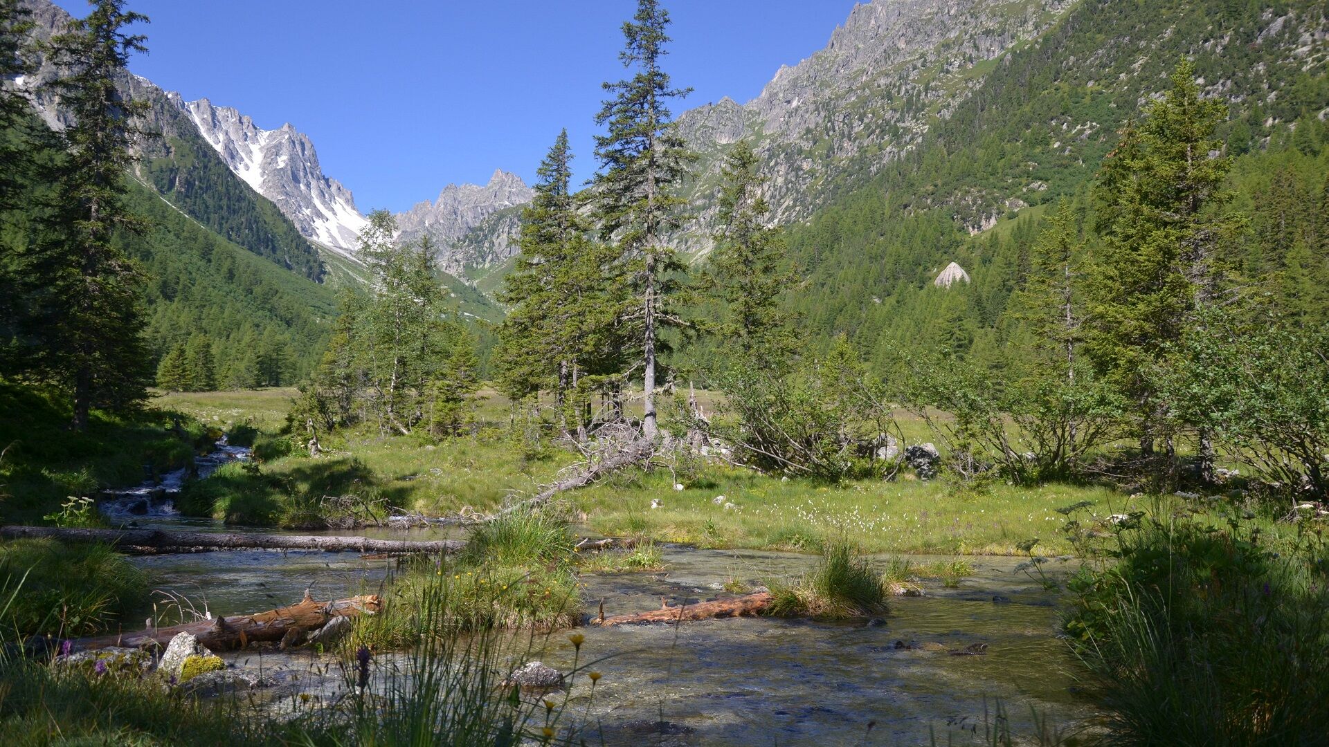
Nice descent through the unspoilt nature of the Val d'Arpette.
- Difficulty
-
easy
- Rating
-
- Starting point
-
top of La Breya chairlift
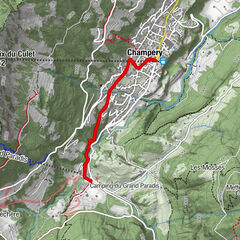
- Route
-
Breya0.0 kmArpette4.5 km
- Best season
-
JanFebMarAprMayJunJulAugSepOctNovDec
- Description
-
After an ascent by chairlift, descend along the Val d'Arpette through forest and meadows. The valley is a nature reserve of rare plants managed by Pro Natura.
The hike will end along the small brook that will take you back to the resort.
- Directions
-
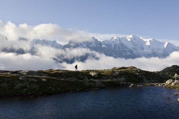
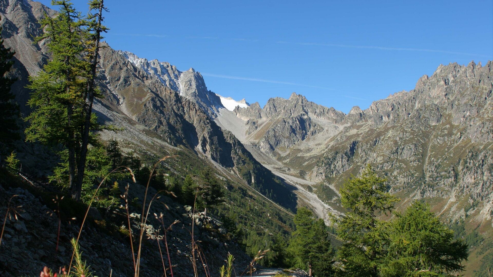
Take the chairlift up to La Breya, where you can admire a magnificent panorama and eat at the La Breya café-restaurant.
Then descend on an unpaved road in the Val d'Arpette to the Relais d'Arpette with the possibility of visiting the domestic mini-zoo, then take the path of the small stream to the bottom of the chairlift.
Pleasant walk in the middle of nature, to be done with children.
- Highest point
- 2,191 m
- Endpoint
-
Departure from La Breya chairlift
- Height profile
-
 © outdooractive.com
 - Equipment
-
Good walking shoes recommended
- Tips
-
Enjoy the incredible panorama from the La Breya restaurant at the top of the chairlift.
At 3/4 of the way, stop at the Relais d'Arpette to taste the famous blueberry tart.
- Directions
-
Exit the motorway at Martigny.
Follow the direction Grand-Saint-Bernard then leave the main road at Orsières and follow Champex-Lac.
It is also possible to leave the main road at Bovernier and go through Les Valettes but the road is narrow and very winding.
- Public transportation
- Parking
-
Park at the bottom of the ski lifts for free
- Author
-
The tour "Arpette" vallon is used by outdooractive.com provided.


General info
-
Portes du Soleil
974
-
Pays du Saint-Bernard
323
-
Champex-Lac
104