Winter
Summer
Weather
Webcams
Accommodations
Tours
Search history
Search suggestions
No results found
Search
Tours
Home
Summer Schweiz
Valais
Tours
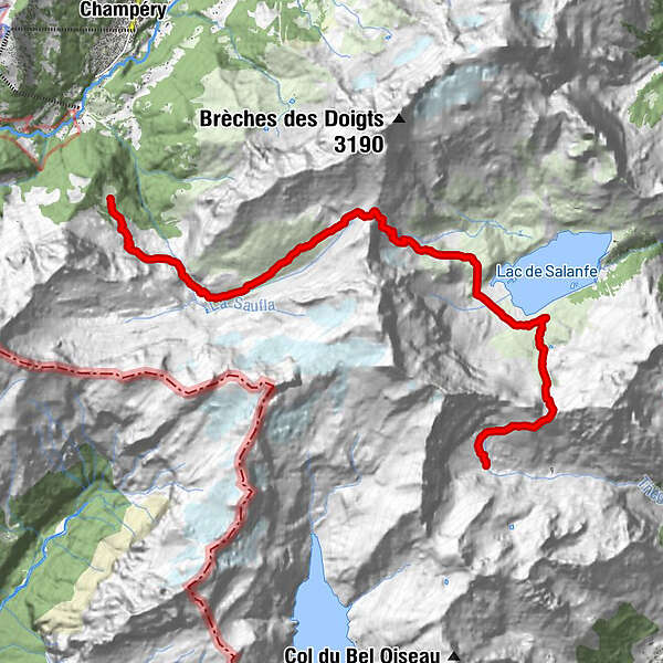
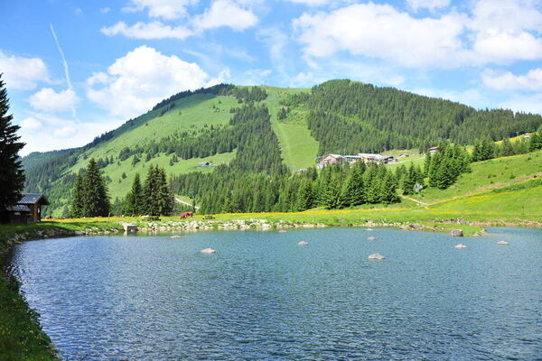
Champéry-Emaney
Regions
Weather
Webcams
Tours
Highlights
Bathing lakes
Accommodations
Offers
Sports provider
Events
Ski resorts
Cross-country skiing
Snow parks
Champéry-Emaney
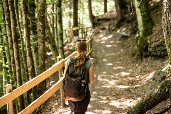
Hiking
Bookmark
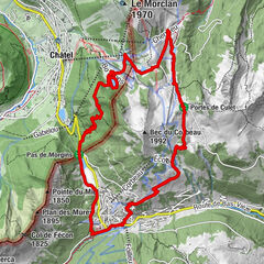
Map
show
hide
Print
Tour data
14.42
km
1,546 - 2,500
m
Distance
1,422
hm
1,009
hm
Ascent
03:41
h
Duration
Hub007
created am 31.07.2019
103
Views
Rating
Technique
Fitness
Landscape
Experience
Highest point
2,500 m
Write a review
Overall rating
5
0
%
4
0
%
3
0
%
2
0
%
1
0
%
Reviews
(0)
0 Comments
Write a review
Error
An error has occurred. Please try again.
Thank you for your review
Rating has been deleted
Report tour
GPS Downloads
GPX
GPS Exchange Format (XML)
KML
Google Earth, Google Maps
QR Download Codes for Mobile Phones
Champéry-Emaney
QR Codes - tour download for cell phones
GPX
KML
Other tours in the regions
Portes du Soleil
977
Région Dents du Midi
583
Champéry
189
Popular tours in the area
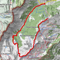
Foilleuse - Pointe de l'Au - Col Portes du Soleil - Tovassière - Mo...
medium
Hiking
12.86
km |
379
hm |
04:00
h
Chemin des poussettes
easy
Hiking
3.87
km |
80
hm |
01:00
h
Morgins - 4-5 lakes hike: Morgins - Mouille - Conche - Pré de la Vi...
difficult
Hiking
16.77
km |
1017
hm |
05:15
h
Von Basel zum Mont Blanc Etappe 25: Moede-Anterne – Le Brevent
medium
Hiking
9.51
km |
852
hm |
04:00
h
No entries found.
The search is currently not available.
Please refine your search.
Local search results
(<= 25km)
More results
(> 25km)
%count% Search results
%name%
%type%
%elevation%
%population%
%lpButton%