


- Brief description
-
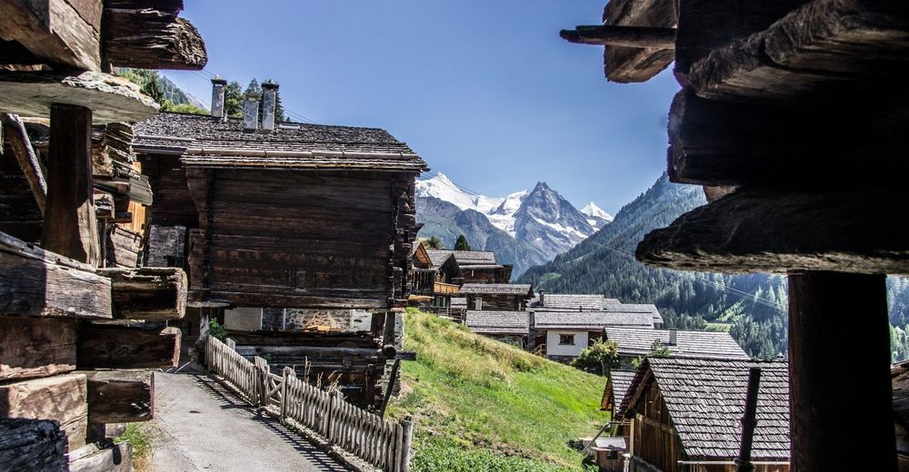
Zau Zoura reveals the ecosystem between the village and the mid-alpine pasture, and the integration of human beings into this environment over time
- Difficulty
-
medium
- Rating
-
- Starting point
-
Place de la Bourgesoisie
- Route
-
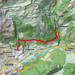
Ayer (1,476 m)
- Best season
-
JanFebMarAprMayJunJulAugSepOctNovDec
- Description
-
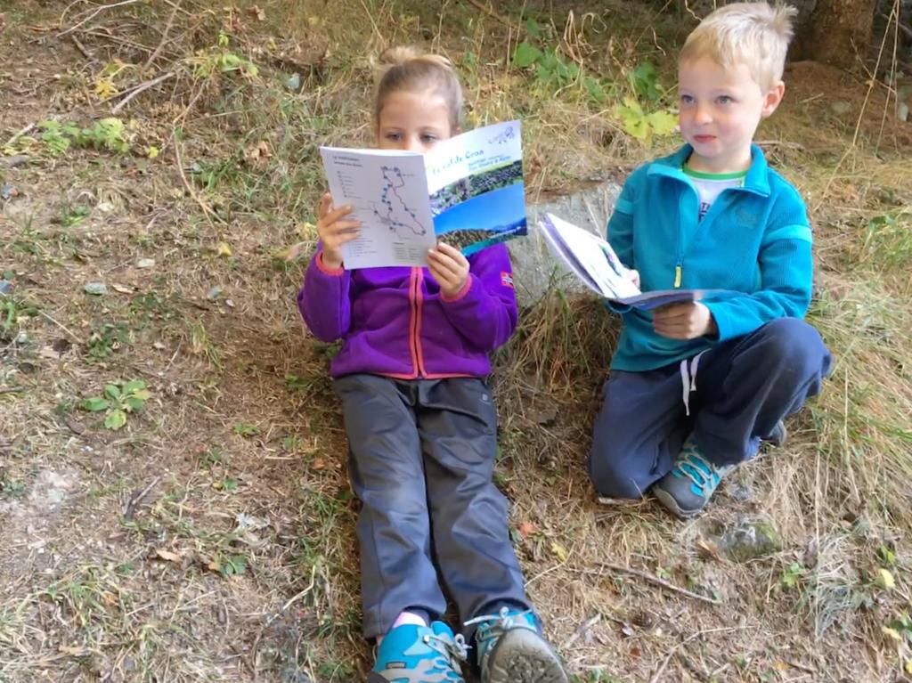
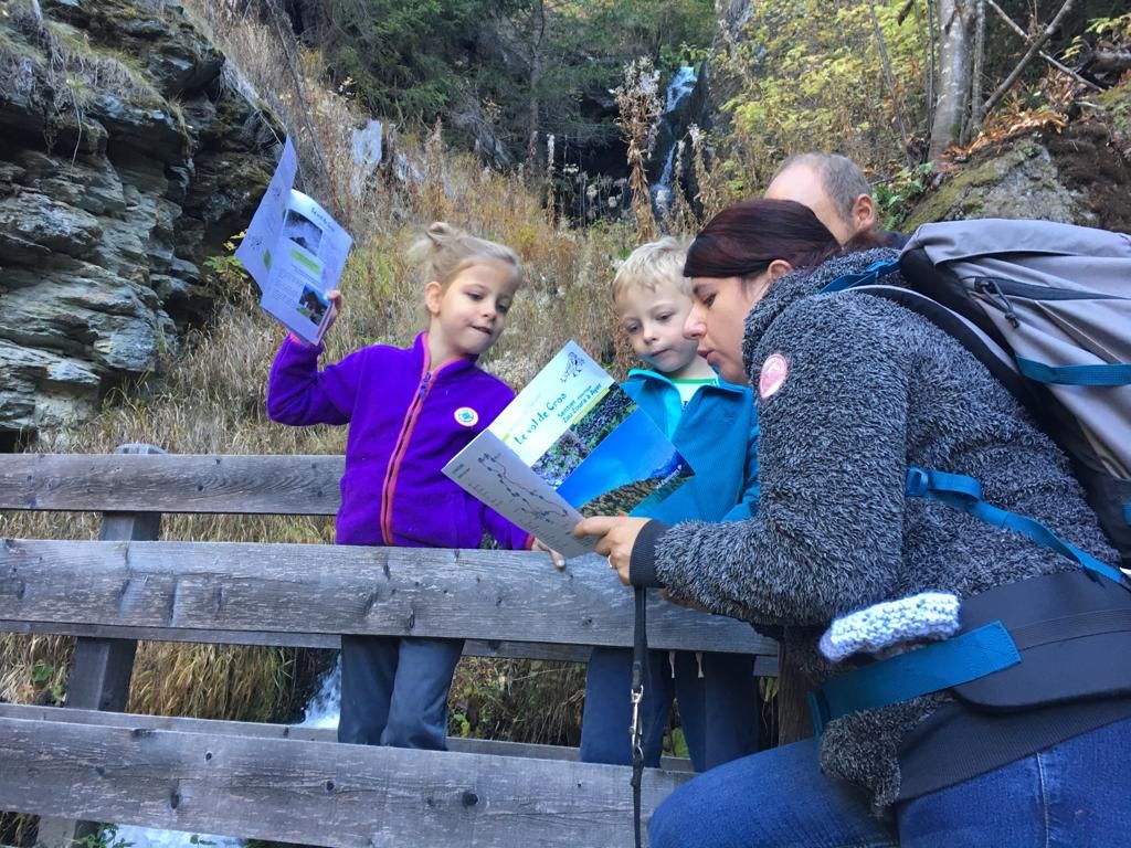
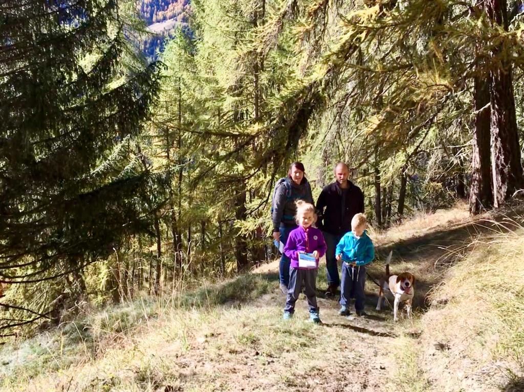
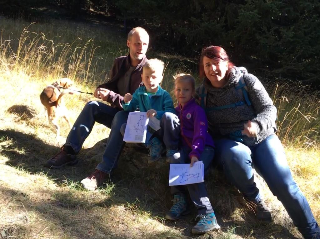
This educational trail with information boards in the forest above the village of Ayer explains the ecosystem between the village and the higher-altitude pastures (mayen) and how man has adapted to the environment. Dotted along this 6km walk from the old village of Ayer to Les Moyes mayen there are information points explaining what visitors can see at that point. The points of interest hidden in the landscape are explained by experts in areas such as sociology, botany, agriculture and geology. Each info point has a short summary text, which can be read or listened to online. For those who are keen to know more, there is an expert mode providing more information such as bibliographies, maps and local references.
- Highest point
- 1,946 m
- Endpoint
-
Place de la Bourgeoisie
- Height profile
-
 © outdooractive.com
 - Equipment
-
Good walking shoes.
As the weather conditions may change quickly, bring warm clothes. - Safety instructions
-
Choose a walk that is at the right level for you and examine the route carefully.
Check the weather forecast. The weather changes quickly in the mountains.
Pay attention to waymarking and signposts.
Please protect the environment by keeping it clean. Leave nothing behind except footprints. Wild animals like peace and quiet too! Please avoid disturbing them in any way.
As the warning signs indicate, you should not park in the river bed or on the banks. These areas are at constant risk of flooding, which may occur several times each day.
Anniviers Tourisme cannot be held liable in the event of an accident. - Additional information


-

-
AuthorThe tour Ayer - Sentier didactique Zau Zoura n°17 is used by outdooractive.com provided.


General info
-
Oberwallis
1872
-
Sierre Anniviers
790
-
Grimentz / St-Jean
319
")