


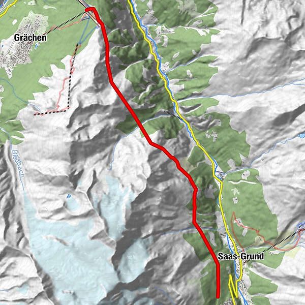
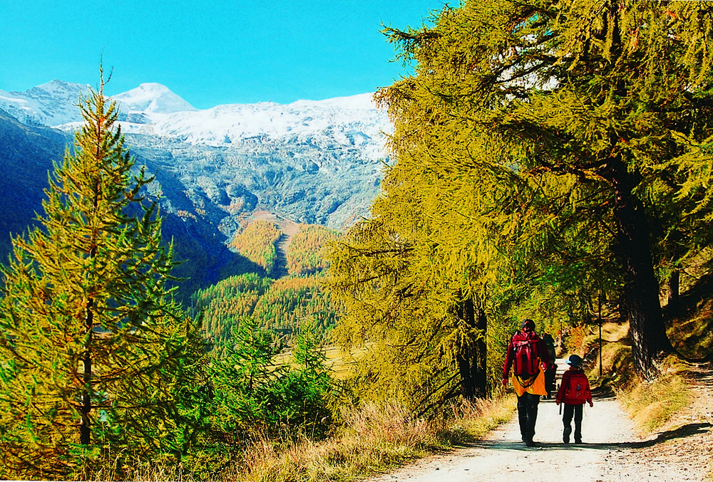
Tour data
11.95km
1,870
- 2,525m
2,668hm
06:30h
- Rating
-
- Starting point
-
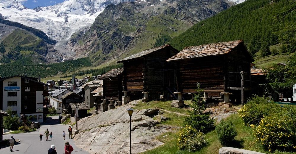
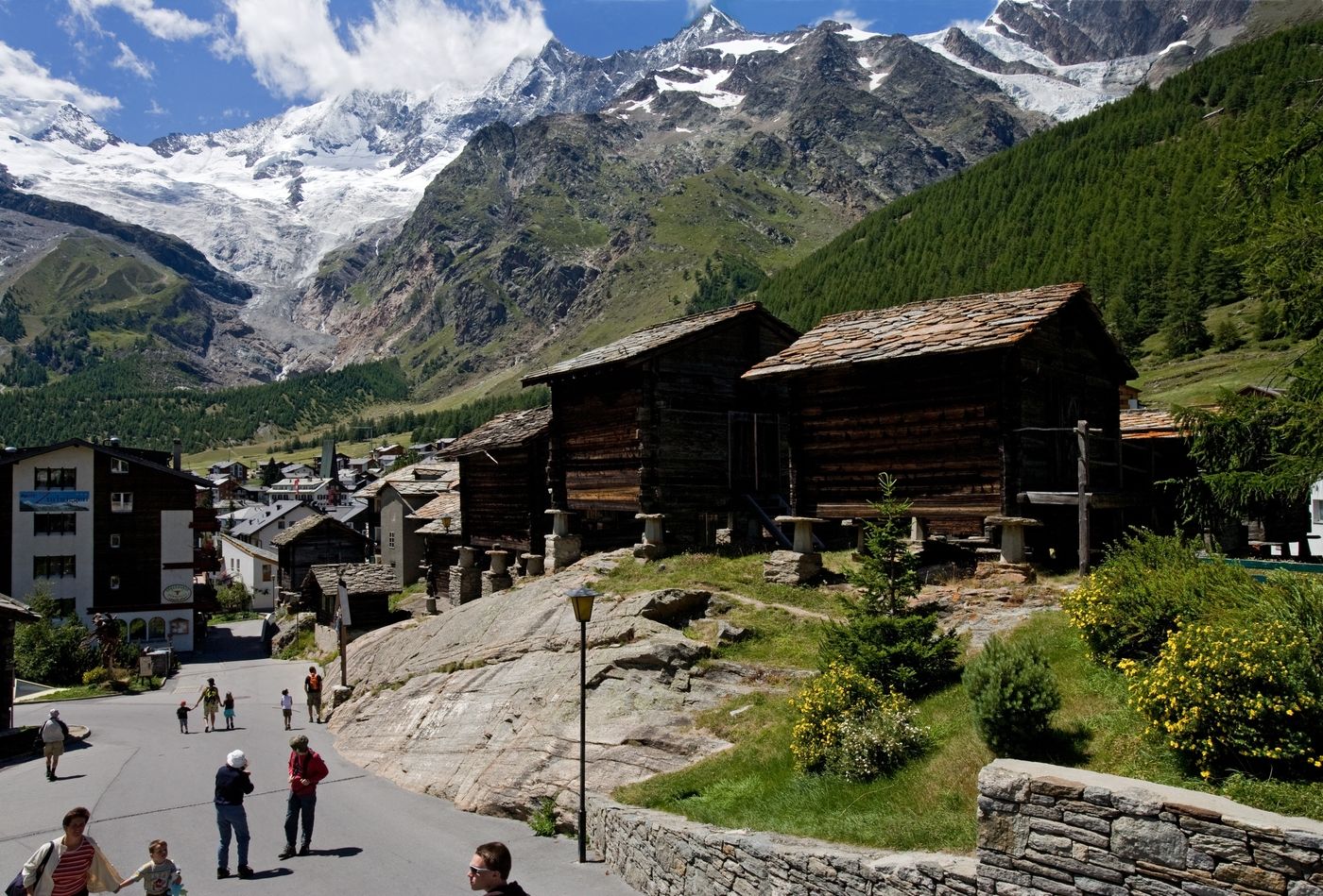
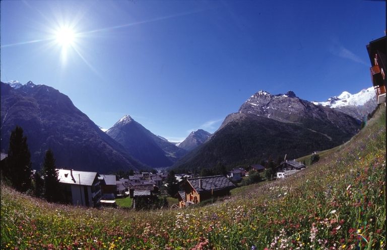
Saas-Fee / Grächen
- Route
-
Brand1.8 kmP2227 (2,227 m)6.5 kmStock (2,490 m)8.2 kmHannighüsli11.7 kmSISU-Wolkenland11.8 kmHannigalp11.8 km
- Highest point
- 2,525 m
- Rest/Retreat
-
Es gibt keine Restaurants auf der Route Saas-Fee - Grächen.
GPS Downloads


Trail conditions
Asphalt
Gravel
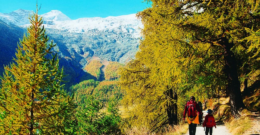
Meadow
Forest
Rock
Exposed
Other tours in the regions
-
Oberwallis
1877
-
Saastal
490
-
Saas-Grund
117


