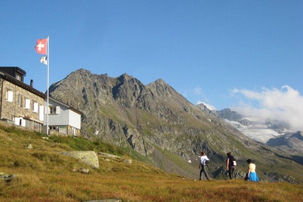
© Ferienregion Andermatt - Dani Gnos

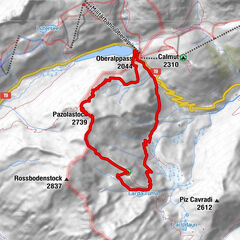
© Ferienregion Andermatt - Andermatt-Urserntal Tourismus GmbH

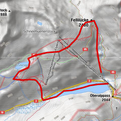
© Ferienregion Andermatt - Andermatt-Urserntal Tourismus GmbH

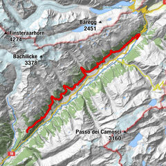
© Ferienregion Andermatt - Andermatt-Urserntal Tourismus GmbH

- Brief description
-
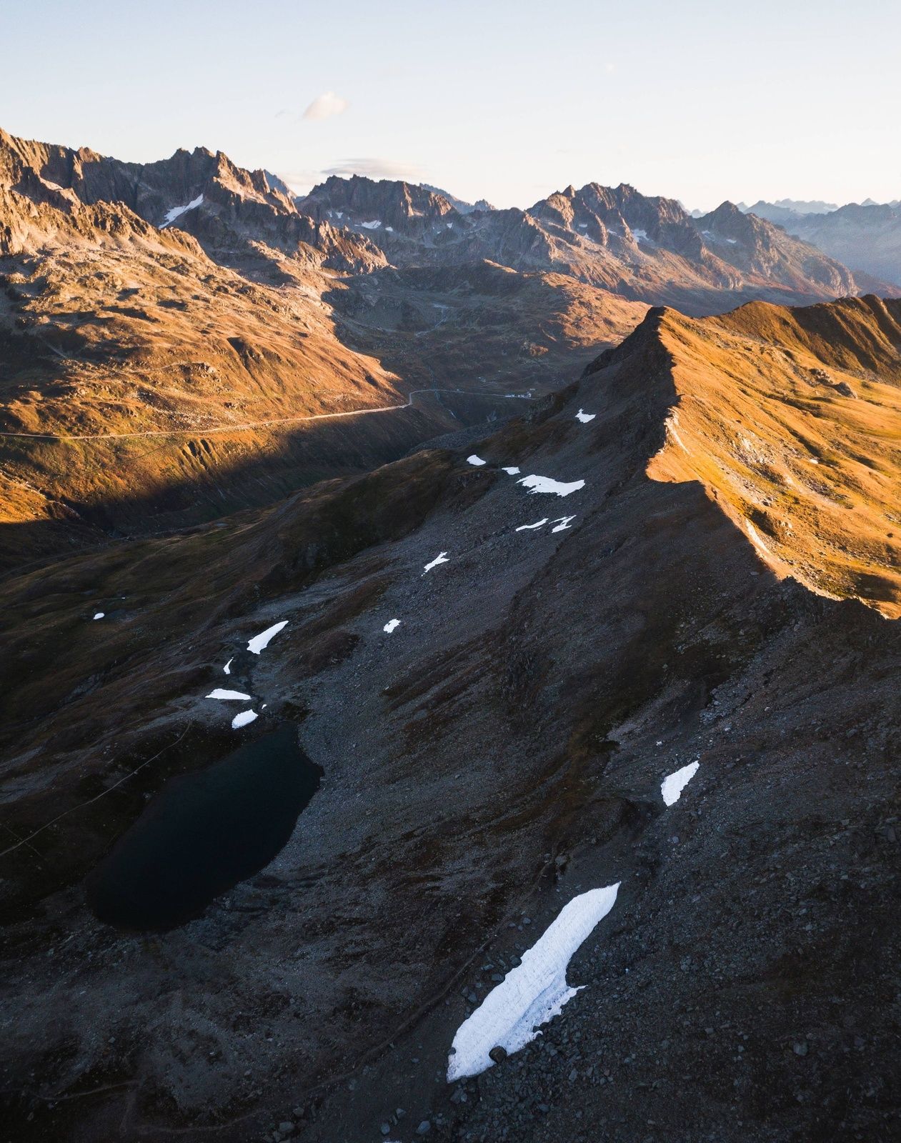
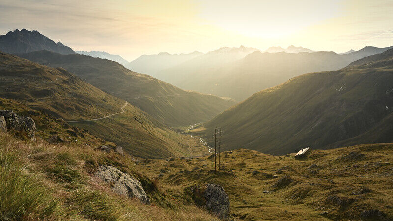
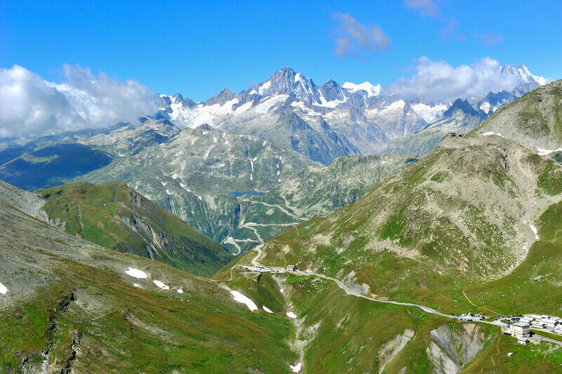
The attraction of this region is the secluded hike that it offers in an austere Alpine landscape.
- Difficulty
-
medium
- Rating
-
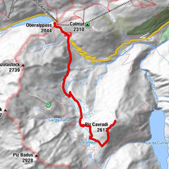
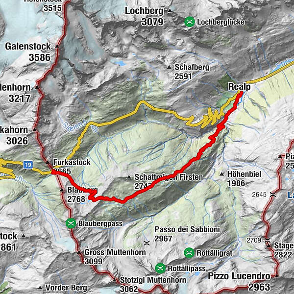
- Starting point
-
Furka pass
- Route
-
Witenwasserntal10.4 kmRealp DFB (1,538 m)11.2 kmRealp (1,538 m)11.7 km
- Best season
-
JanFebMarAprMayJunJulAugSepOctNovDec
- Description
-
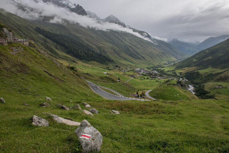
Famous for its ski tours, the mountain is also well worth hiking on in summer. After reaching Furka Pass altitude, the beautiful Alpine trail leads past idyllic mountain lakes and all the way up to the Stotzigen Firsten. The descent across a wide grassy ridge down into the Witenwasseren valley is leisurely. At the very end, you will follow the tracks of the Furka Mountain Steam Railway to Realp.
- Directions
-
Furkapass – Sotzigen Firsten – Laubgädmen - Biel – Realp Bahnhof
- Highest point
- 2,719 m
- Endpoint
-
Train station Realp
- Height profile
-
 © outdooractive.com
 - Equipment
-
Clothing appropriate for the weather
Sturdy footwear
Hiking poles are recommended
Binoculars
Camera
Daypack
- Author
-
The tour Stotzigen Firsten is used by outdooractive.com provided.
GPS Downloads


General info
Flora
Fauna
A lot of view