
- Brief description
-
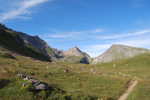
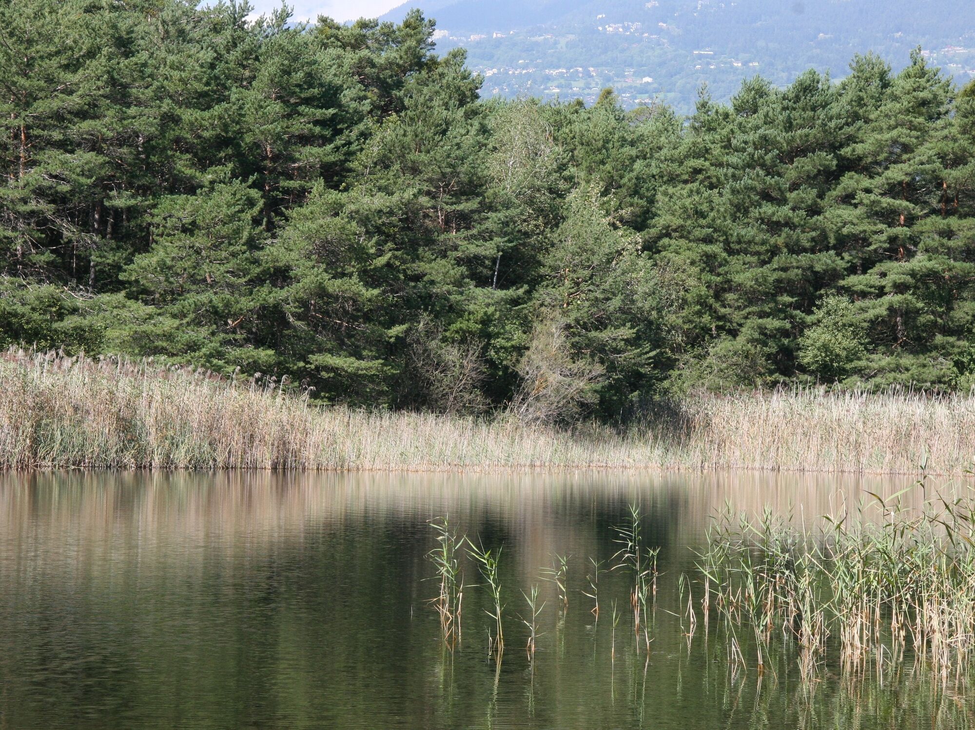
The protected Bois de Finges site in the Pfyn-Finges region nature park – one of the biggest pine forests in the Alps – is a protected site of national importance. The Finges forest borders one of the last wild branches of the Rhône, and is home to a large number of animals and plants.
Since 1997, the region has been under protection and in 2000, the local communes founded an association to develop soft tourism in the reserve and to build a natural park. Since November 2005, "Bois de Finges" has been proudly named as Natural Regional Park.
- Difficulty
-
easy
- Rating
-
- Starting point
-
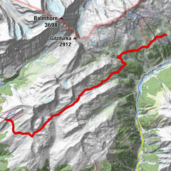
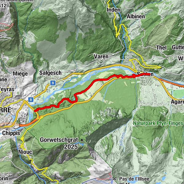
Sierre, camping de Finges
- Route
-
Buvette Milljeran2.3 kmSusten (630 m)8.5 kmLeuk (623 m)8.8 km
- Best season
-
JanFebMarAprMayJunJulAugSepOctNovDec
- Directions
-
Sierre, camping de Finges - Bois de Finges - Leukerbad station
Reverse itinerary Leukerbad station - Bois de Finges - Hermitage - Sierre. Distance: 10.2km Time: 3h1/2 Difficulty: easy.
Departure from Leukerbad station (625m), take the underpass in the direction of the centre of La Souste. At the well, turn right, direction west (Sion). After 100 metres, the street leads to the cantonal road. Follow the route for 350 metres, pass in front of the garage. On the Illgraben bridge, take the footpath towards La Souste - Bois de Finges, on the left under the bridge. After 4.5km. On the left, in the direction of the information centre Ermitage, on the right continue in the direction of Sierre. Entrance to the Vita parcours of Sierre. At the entrance of the Vita parcours, follow the road for 3 km towards Sierre station.
- Highest point
- 631 m
- Endpoint
-
Loèche station
- Height profile
-
 © outdooractive.com
 - Equipment
-
Good walking shoes.
- Safety instructions
-
Please follow the marked paths and respect nature (fauna and flora).
You should check the weather conditions before you leave.
Crans-Montana Tourisme & Congrès declines all responsibility in the event of an accident.
- Additional information
- Directions
-
To get to the Parc de Finges by car, take the exit of the A9 motorway (Rhône motorway) called "Sierre est". Right after the motorway exit, at the roundabout, take the exit towards Sierre and continue for about 200 metres. At the next roundabout, take the third exit and then turn right for the Parc de Finges car park.
- Public transportation
-
You can reach Sierre by train (CFF company). From the station, take the CarPostal bus for Vissoie, Poste and get off at the bus stop: Sierre, Parc de Finges.
- Parking
-
Free outdoor car park
- Author
-
The tour Finges walk is used by outdooractive.com provided.


General info
-
Oberwallis
1872
-
Leuk/Leukerbad
1028
-
Varen
278