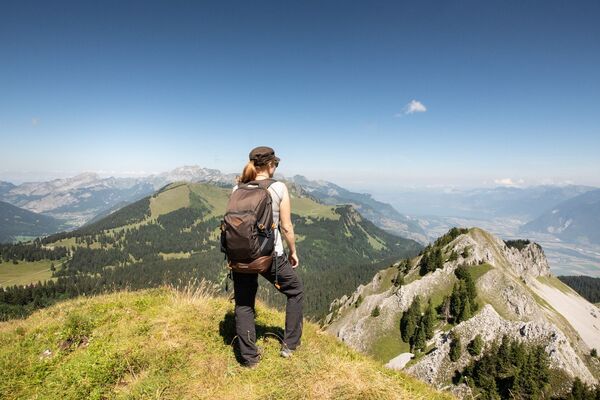


- Brief description
-
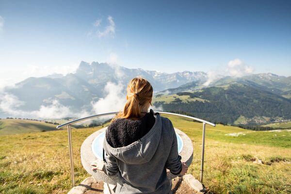
A climb high above the Rhône valley to the Lac de Taney, an idyllic lake at the heart of one of the finest nature reserves in the Alps. Glorious views of the surrounding mountains.
- Difficulty
-
medium
- Rating
-
- Starting point
-
Miex (hamlet Le Vésenand)
- Route
-
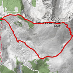
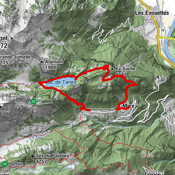
Miex0.0 kmLes "Cornettes de Bise"0.1 kmPrélagine (1,460 m)2.9 kmRestaurant du Grammont6.0 kmRefuge La Vouivre6.1 kmNotre Dame des Neiges6.3 kmTaney6.3 kmCol de Taney (1,440 m)6.8 kmChardon Bleu8.4 km
- Best season
-
JanFebMarAprMayJunJulAugSepOctNovDec
- Description
-
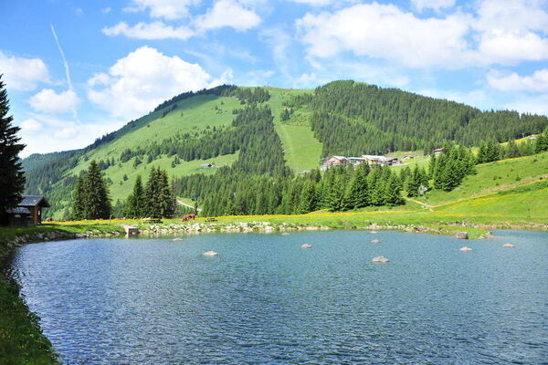
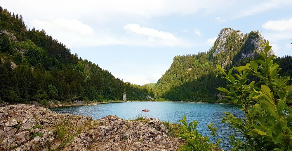
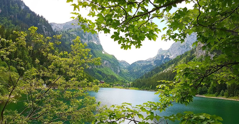
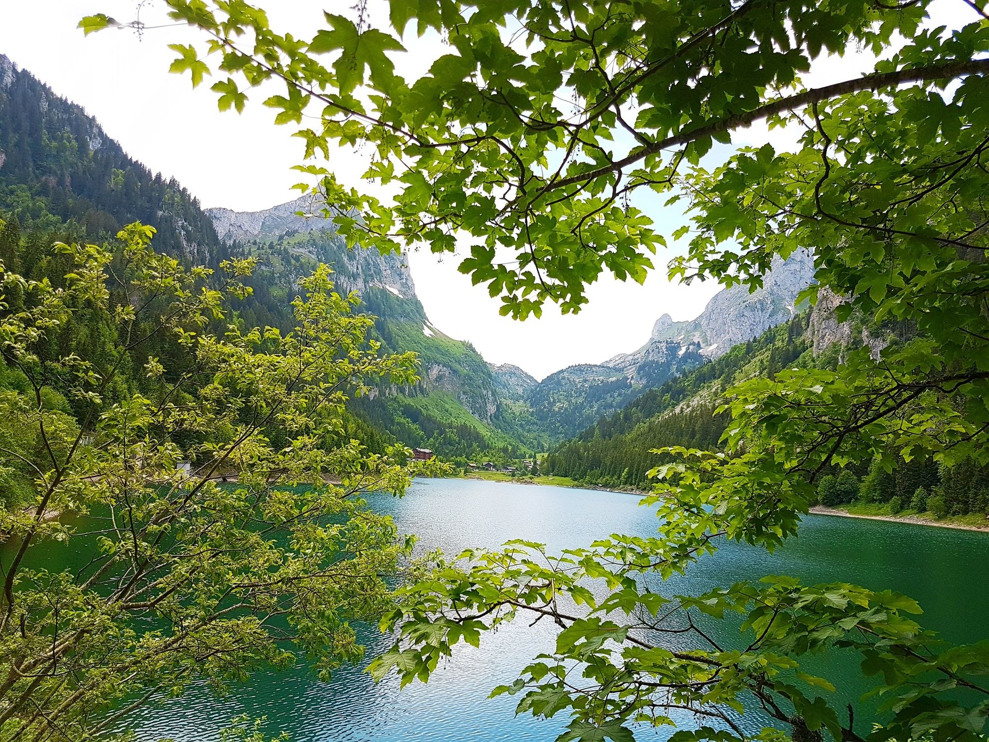
The Lac de Taney enjoys an idyllic setting in a natural forested hollow at an altitude of 1,408 m. The lake and surrounding area have been a nature reserve for more than 50 years. Only vehicles with a special permit are allowed – so that walkers are promised an experience of blissful tranquillity.
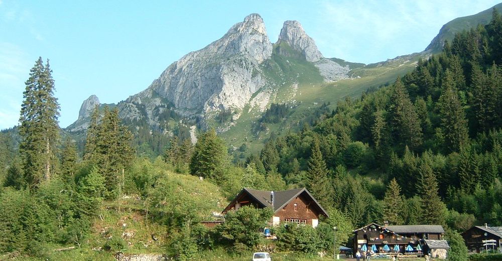
Our route begins at the village of Miex, about halfway up from the floor of the Rhône valley. The ride up the narrow twisting road to Miex – best done by bus – is an adventure in itself, revealing glorious views across the valley and of the Chablais Alps.
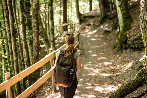
From Miex, the trail climbs through the forest to reach the high pastures of Prélagine. Here the trail flattens, eventually reaching the Lac de Taney at its easternmost tip. The first sight of the deep-blue lake, framed by forest and mountain peaks, is enchanting. The route follows the northern shoreline to Taney: the summer hamlet, with its three friendly auberge-restaurants, fits perfectly in the tranquil landscape.
The lake is the focus of a national nature reserve, best known for the amphibians who come to spawn in large numbers. Walkers may even spot an alpine salamander in the shadow of the forest. The lakeshores and surrounding meadows support a colourful carpet of flowers, including alpenrose, willowherb, Turk’s cap lily and wolf’s bane.
One reason for the site’s natural wealth is its unique microclimate, influenced by Lake Geneva just to the north, with mild winters and fresh summers. Perhaps it attracted some of the area’s first human residents: research has shown that nearby caves were inhabited around 30,000 years ago.
The route leaves the lake at its southern shore, before leading over the low Col de Taney to the forested slopes overlooking the Rhône valley and back down to "Le Flon", near Miex.
Highlights:
Exhilarating climb through high, fragrant forests overlooking the Rhône valley Idyllic Lac de Taney: nationally important nature reserve, abundant flowers, friendly mountain auberge-restaurants - Directions
-
Our hike begins at the eastern end of Miex, at Le Vésenand. The first section is a steady climb up to the pastures at Prélagine. Next stage is a wide loop – across to the Lac de Taney, around it anti-clockwise, over the Col de Taney, and then along a level path through the forest to a point just east of Prélagine. The final leg goes through the Col de Taney and take the old goatherds’ path that zig-zags steeply down through the forest to reach the western end of Miex, known as Le Flon.
- Highest point
- 1,490 m
- Endpoint
-
Miex (hamlet Le Vésenand)
- Height profile
-
 © outdooractive.com
 - Equipment
-
We recommend:
good footwear clothing suitable for the weather: always carry a waterproof jacket hat or cap sunscreen bottle for water picnic camera binoculars (optional) hiking poles (optional) printout of this hike (click “Print” icon, to download)For certain walks:
Swimwear - Safety instructions
-
Use of the trails and the information on this website is at hikers’ own risk. Local conditions may entail changes to routes. Valais/Wallis Promotion accepts no liability for the accuracy and completeness of information on this website.
For all hikes:
Bring a map. Download full description of this route including large-scale map by clicking on “Print” icon, top right of this page. Use marked trails only, and observe all signposting – for your own safety, to safeguard grazing animals and to avoid disturbing wildlife. Close gates after passing through. Please be considerate to other trail users, and to the plants and animals. Do not leave any waste in nature.For mountain hikes:
Take extra care protecting yourself from the sun at altitude. UV radiation can be exceptionally strong, even in cloudy weather. Plan hike carefully: take into consideration fitness level of each participant, weather forecast and season. Weather conditions can change quickly in the mountains, without warning. Appropriate clothing is therefore essential, along with adequate supplies of food and water. In uncertain weather, turn back in good time.For high-altitude hikes:
Inform others of the route you plan to take. Whenever possible, avoid going alone. Do not venture onto glaciers without a mountain guide. Take note of the warning signs that point out the constant danger in river beds and along watercourses below dams and reservoirs: water levels may rise rapidly without warning. - Tips
-
Stay the night at one of the auberge-restaurants by the lake: dusk and dawn here, especially, are magical.
- Additional information
- Directions
-
A9 motorway, exit 16 (Villeneuve) if approaching from the north or exit 17 (Aigle) if driving from the south. Follow signs to Vouvry and the car park. Take bus from village centre to Miex (village).
The road up to Miex is narrow and winding, with limited parking at the end; local authorities encourage motorists to park down in Vouvry.
- Public transportation
-
Train to St-Maurice, change on to local train to Vouvry. Change on to local bus to Miex (village). Find full timetable information at sbb.ch.
- Parking
-
Car park in Vouvry; onward travel by bus because parking is limited in Miex


- Author
-
The tour Chemin du Lac de Taney is used by outdooractive.com provided.


General info
-
Portes du Soleil
970
-
Montreux Riviera
353
-
Torgon
212