


- Brief description
-
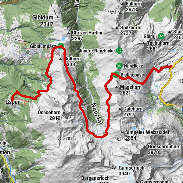
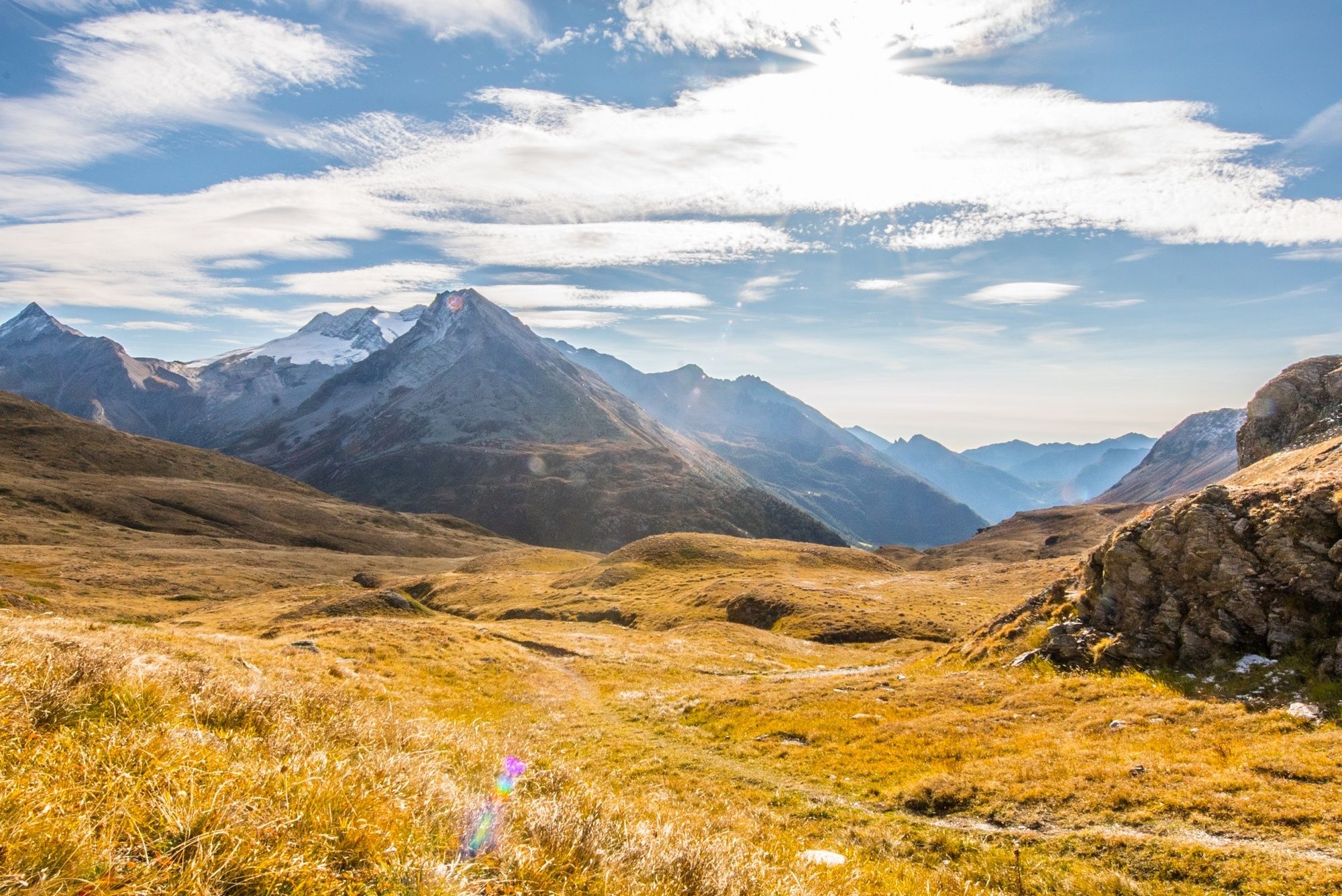
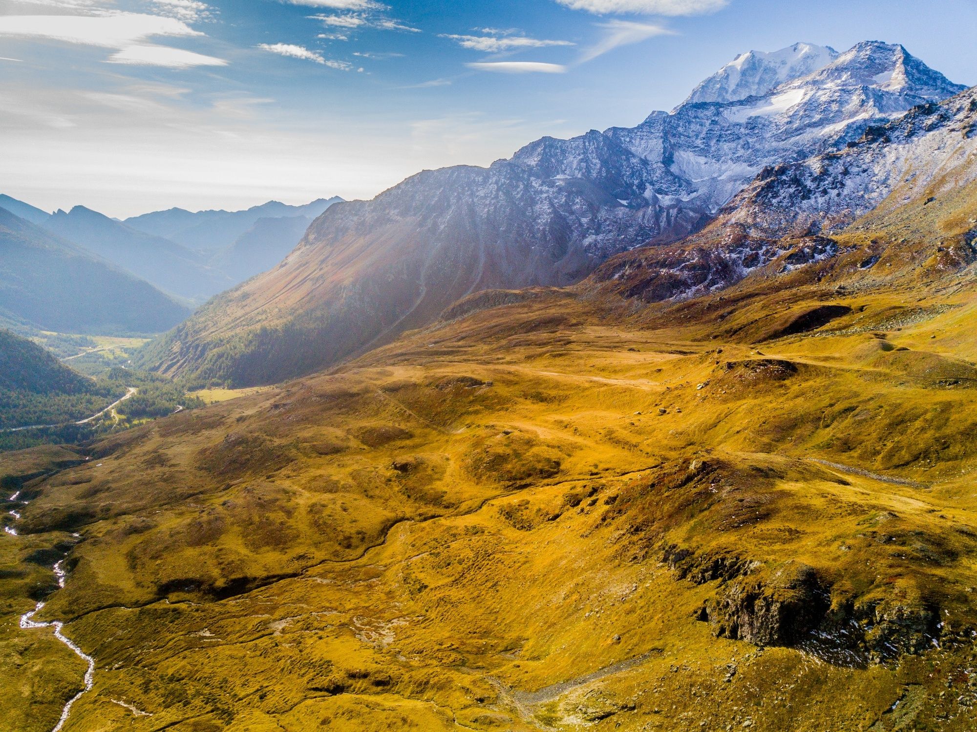
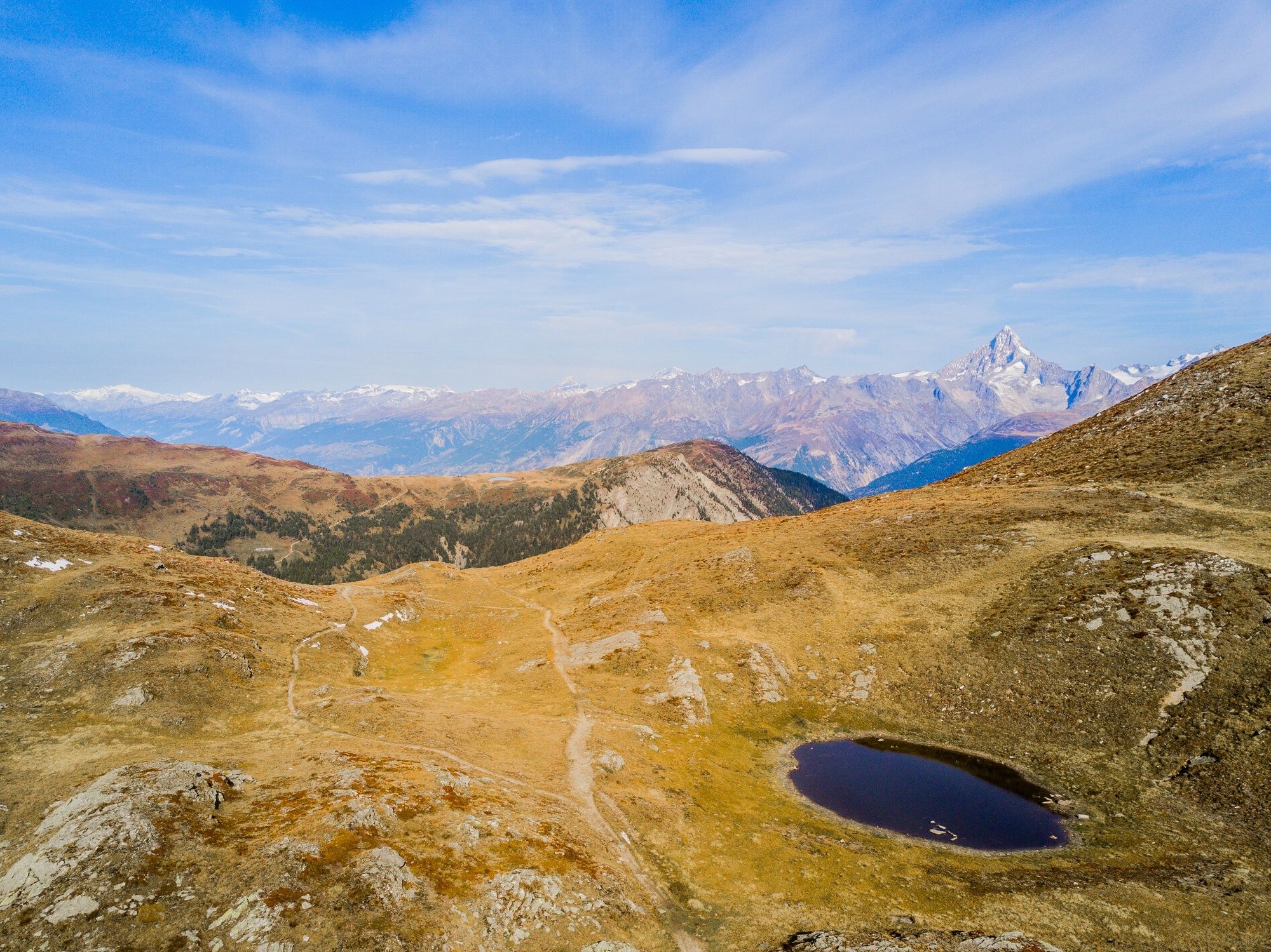
Panoramic tour to Gspon: Simplon pass, Bistinen pass, Gebidum pass with view of the Bernese Alps and to the highest Swiss summit, the 4545m high Dom.
- Difficulty
-
difficult
- Rating
-
- Starting point
-
Simplonpass
- Route
-
Obers Fulmoos9.2 kmSädolti19.8 kmGspon22.6 km
- Best season
-
JanFebMarAprMayJunJulAugSepOctNovDec
- Description
-
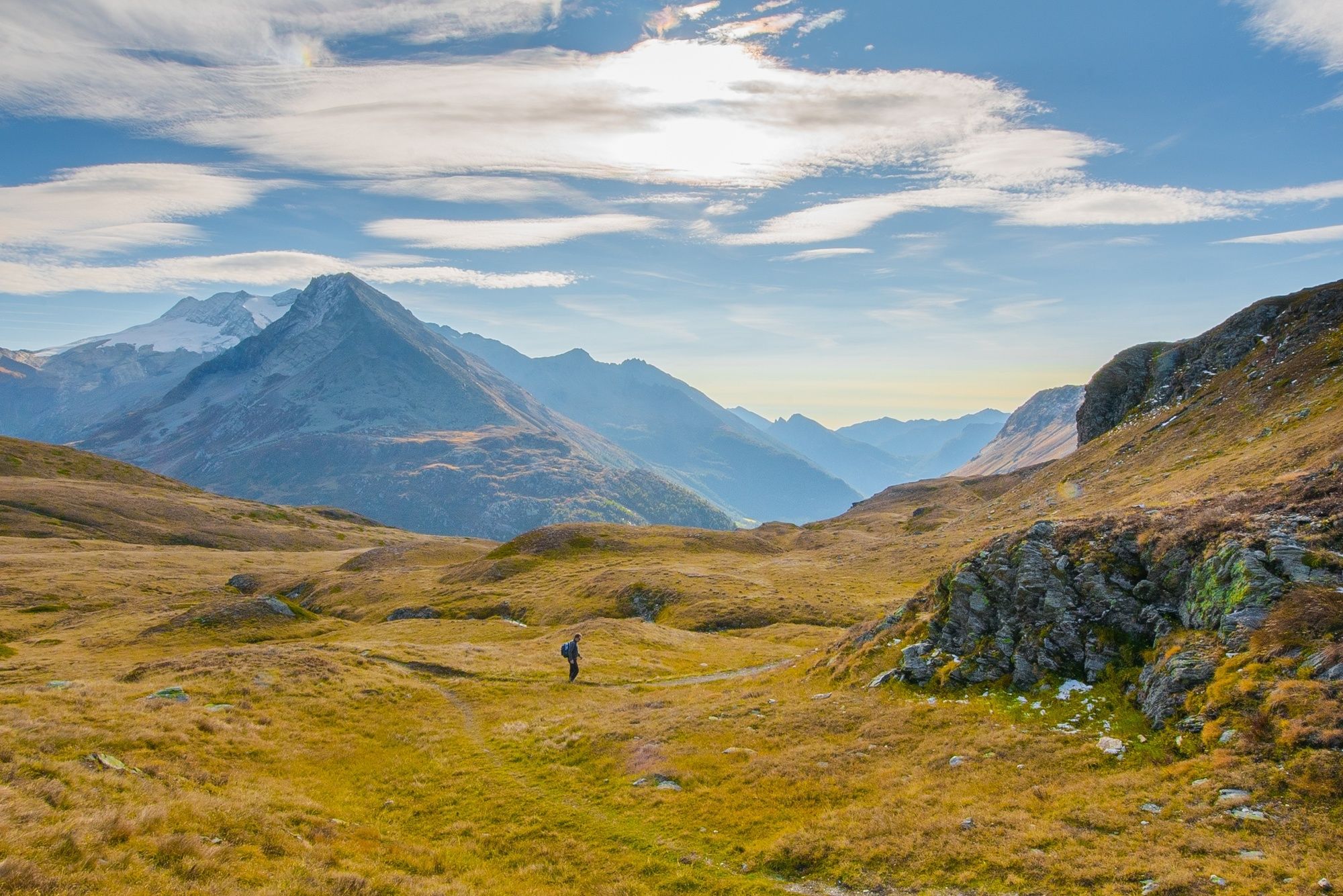
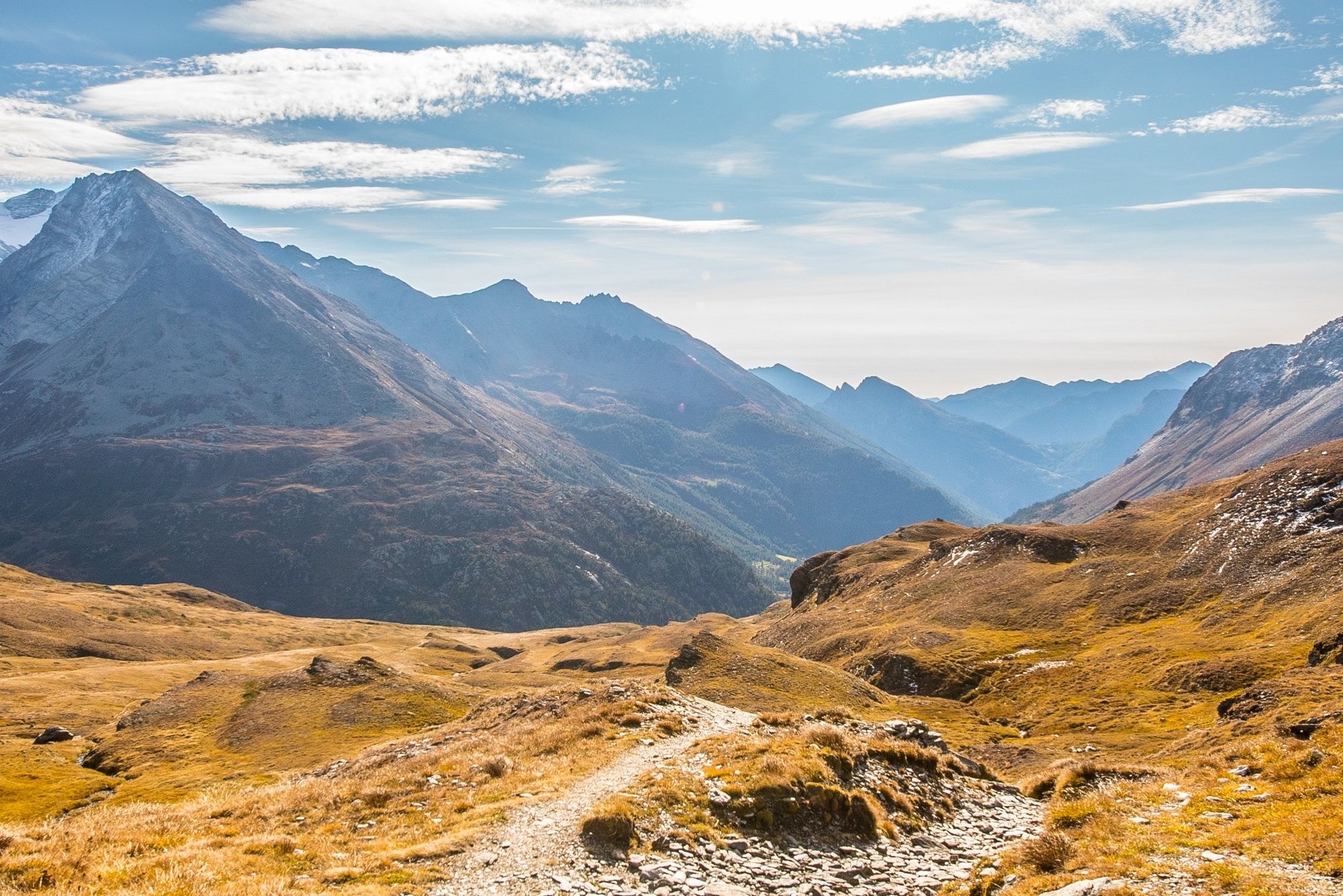
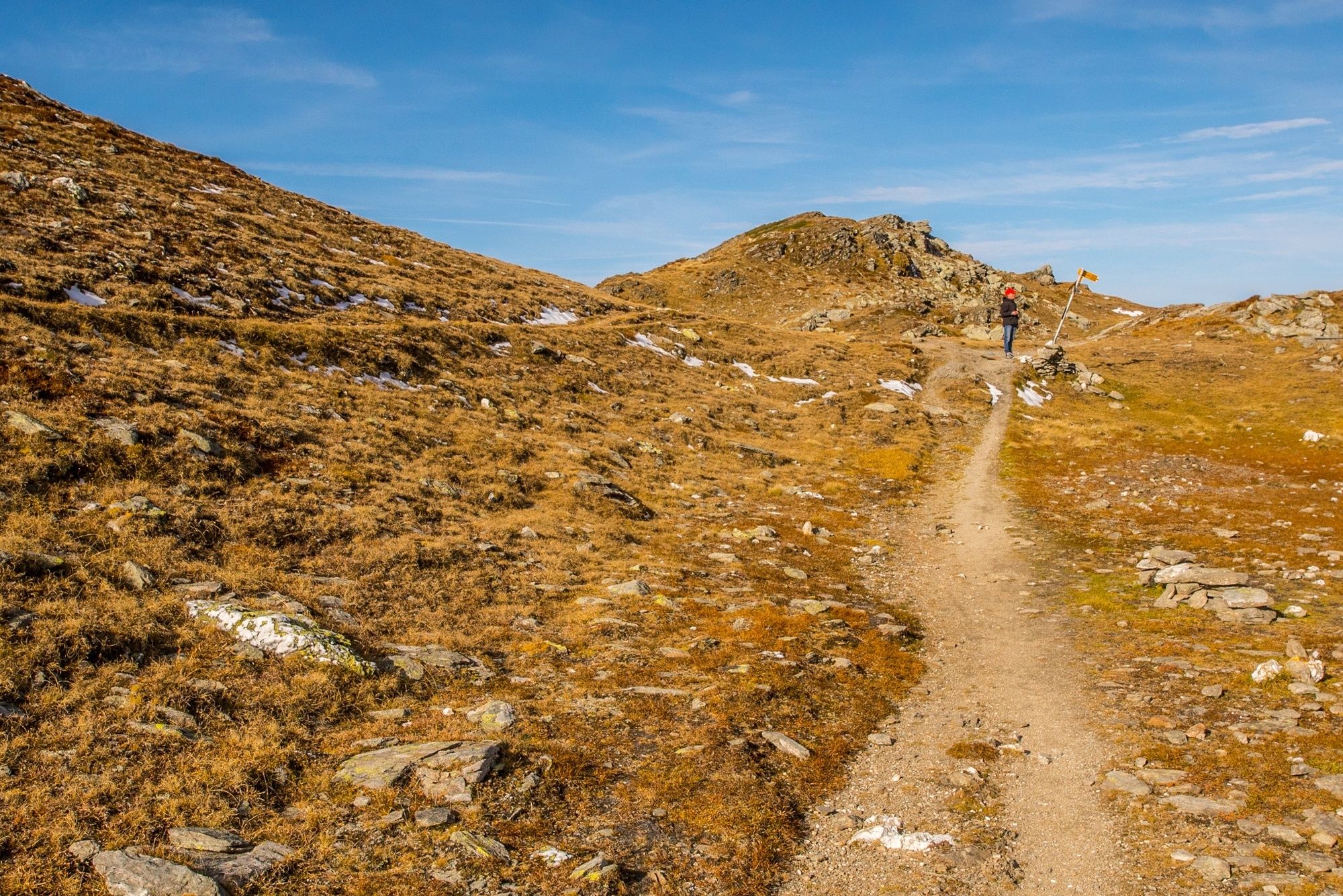
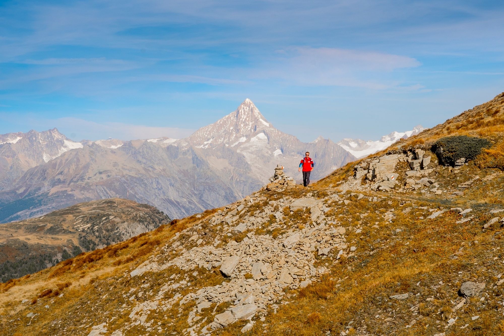
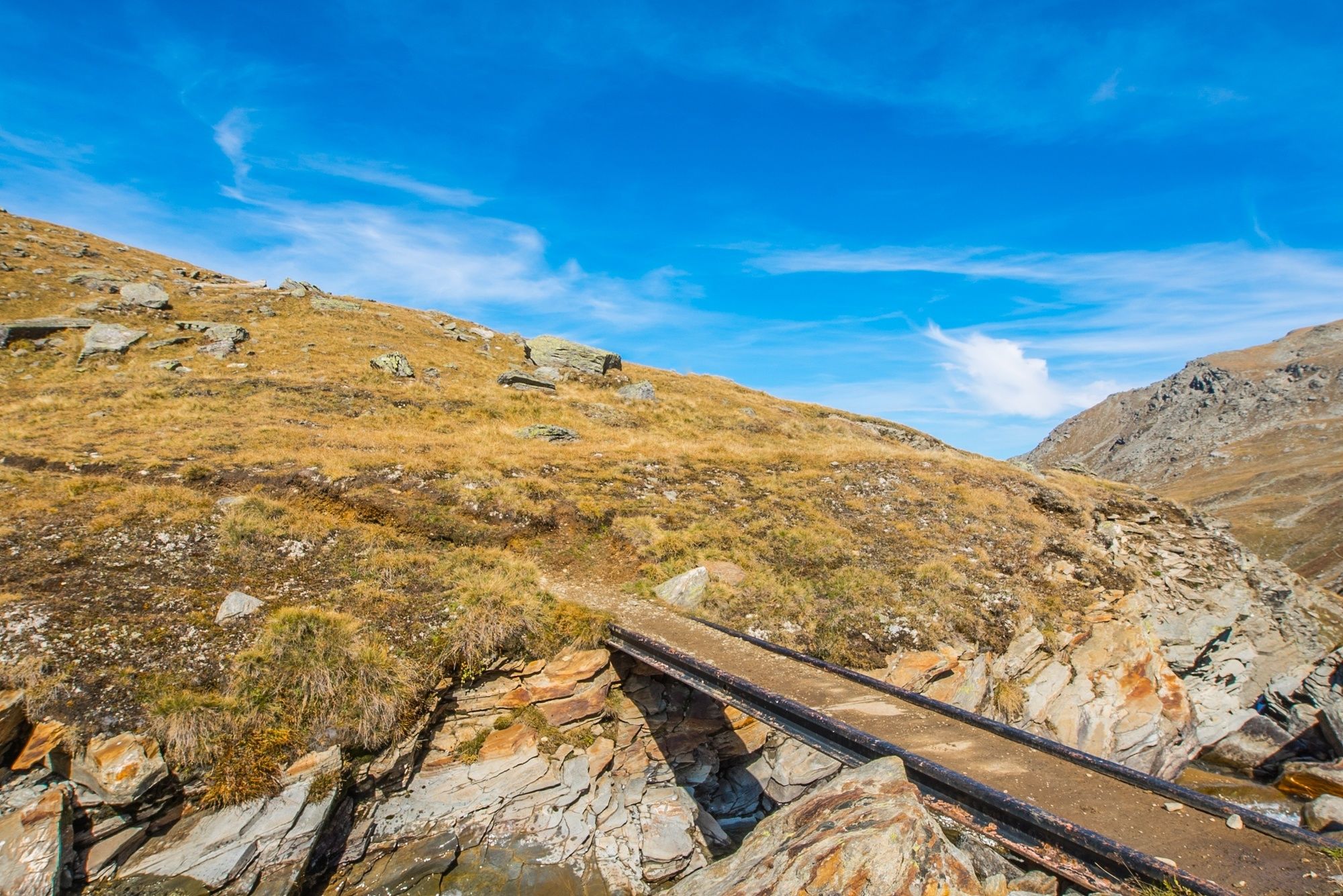
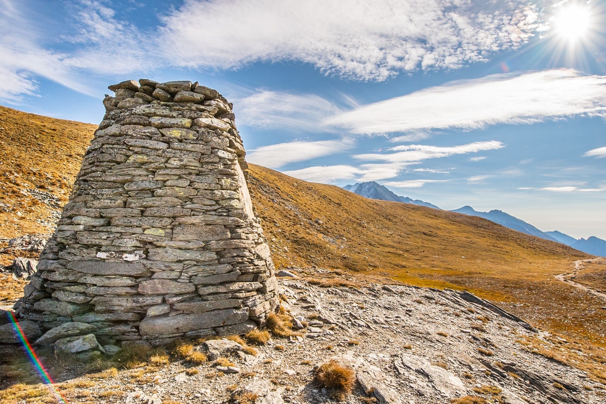
The hike begins on the Simplon Pass. Whether you start at Kulm, Hospiz or Restaurant Monte Leone, it doesn't matter. Already from a distance you can see the wide path in a northwesterly direction, which crosses the mountain flank to the Bistinenpass in an even gradient. On the Bistina, take the signposted path towards Visperterminen. In the upper Fülmoos, after having crossed the "Gamsa", you stay on the path towards the Gebidumpass. Continue above Visperterminen to Gspon.
- Directions
-
The hike begins on the Simplon Pass. Whether you start at Kulm, Hospiz or Restaurant Monte Leone, it doesn't matter. Already from a distance you can see the wide path in a northwesterly direction, which crosses the mountain flank to the Bistinenpass in an even gradient. On the Bistina, take the signposted path towards Visperterminen. In the upper Fülmoos, after having crossed the "Gamsa", you stay on the path towards the Gebidumpass. Continue above Visperterminen to Gspon.
- Highest point
- 2,475 m
- Endpoint
-
Gspon
- Height profile
-
 © outdooractive.com
 - Equipment
-
Equipment adapted to the weather is indispensable. For all hikes it is strongly recommended to wear good, sturdy mountain boots.
- Safety instructions
-
The hike is at your own risk. Insurance is the responsibility of the hiker.
- Tips
-
Various hotels are available on the Simplon Pass as stage locations. A visit to the two lakes is worthwhile.
- Additional information
- Directions
-
By private vehicle or Postbus.
- Public transportation
-
You can travel comfortably by train (SBB) to Brig, main station.
Various Postbus lines are available at the station.
- Parking
-
Parking is available on the Simplon Pass.


-

-
AuthorThe tour Alpenpässeweg: Simplonpass - Gspon is used by outdooractive.com provided.


General info
-
Aletsch Arena
1471
-
Brig Simplon
481
-
Visperterminen
186


