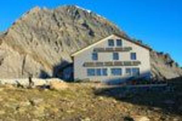

- Brief description
-
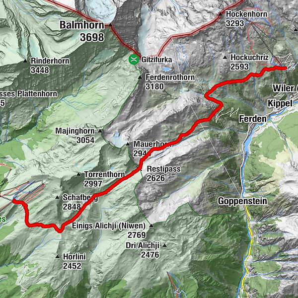
Fantastic hike from Lauchernalp over the Restialp and the Restipass to the Rinderhütte station (Leukerbad)
- Difficulty
-
medium
- Rating
-
- Starting point
-
Bergstation Lauchernalp
- Route
-
ZudiliGasthaus Kummenalp3.0 kmTrockenalp3.9 kmRestialp4.7 kmRestipass (2,626 m)8.2 km
- Best season
-
JanFebMarAprMayJunJulAugSepOctNovDec
- Description
-
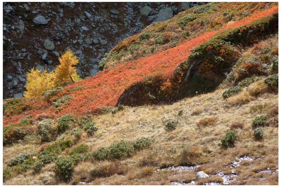
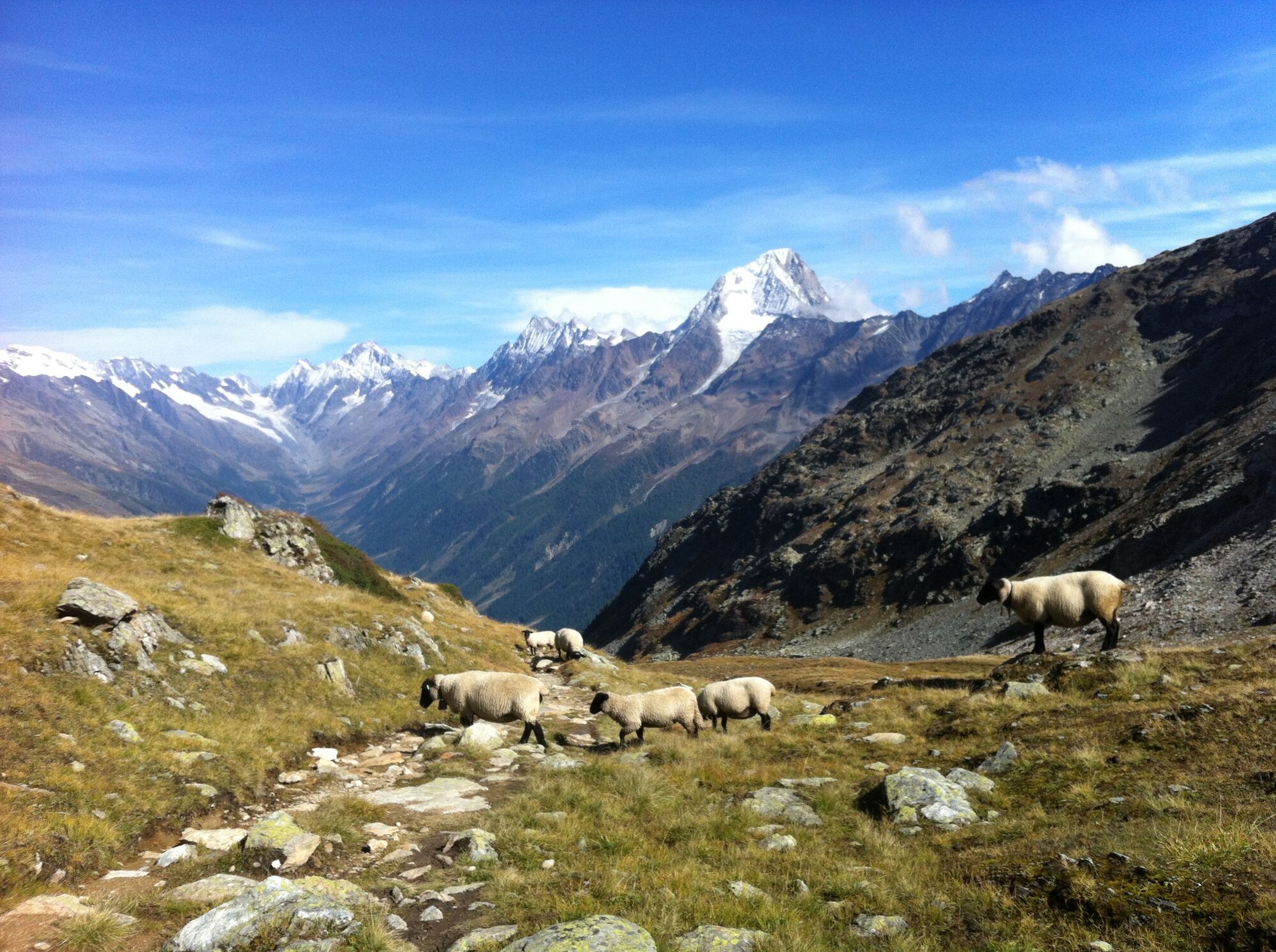
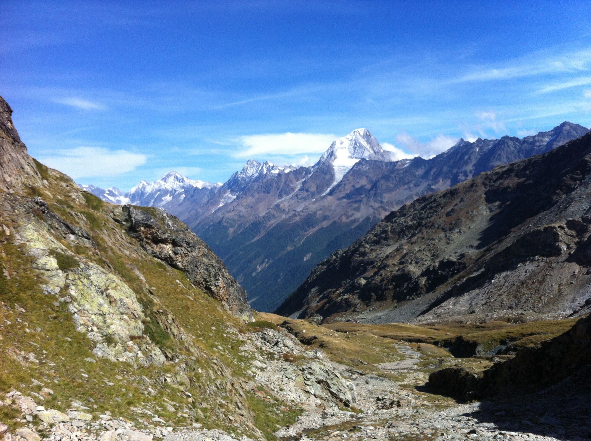
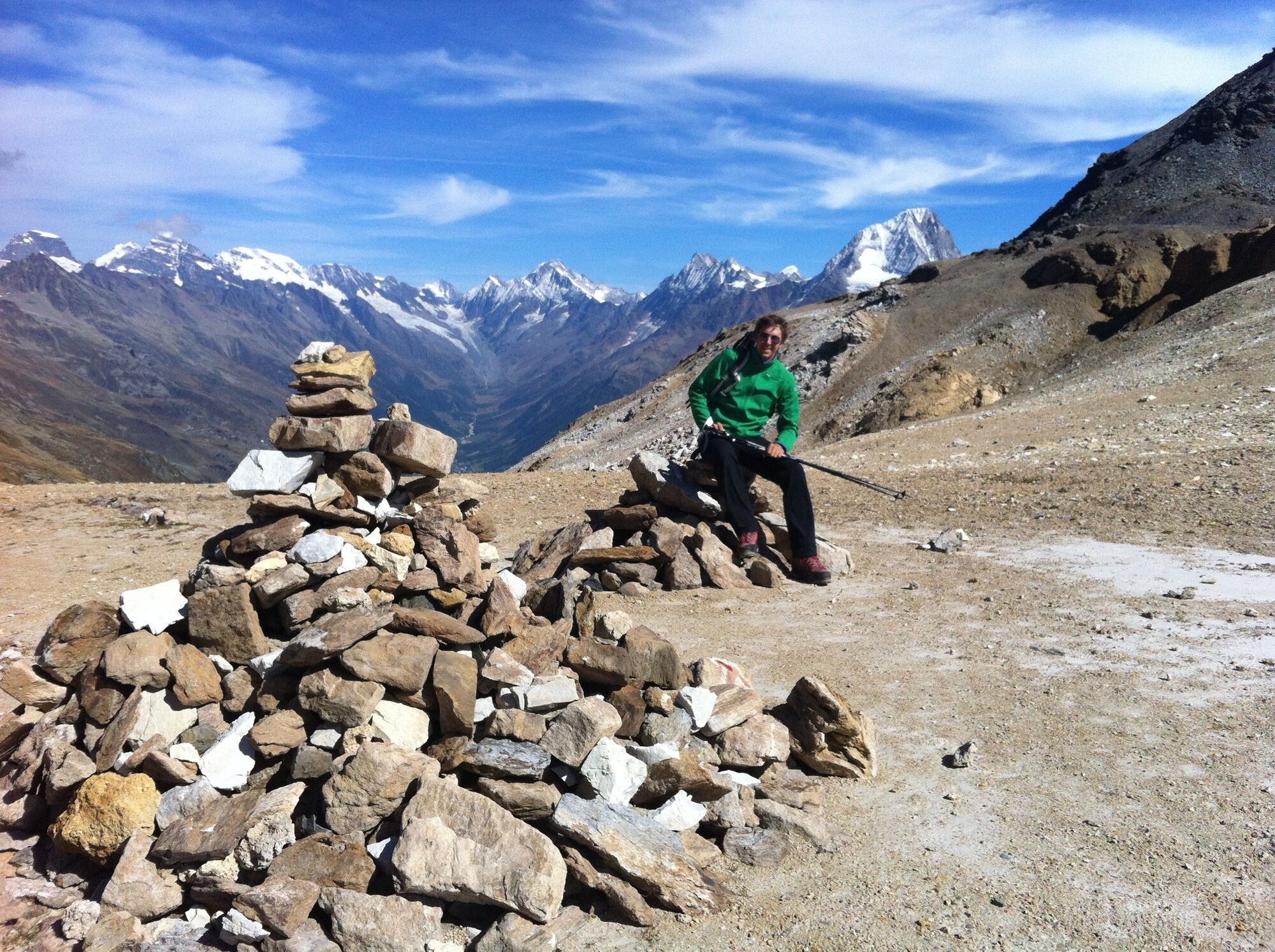
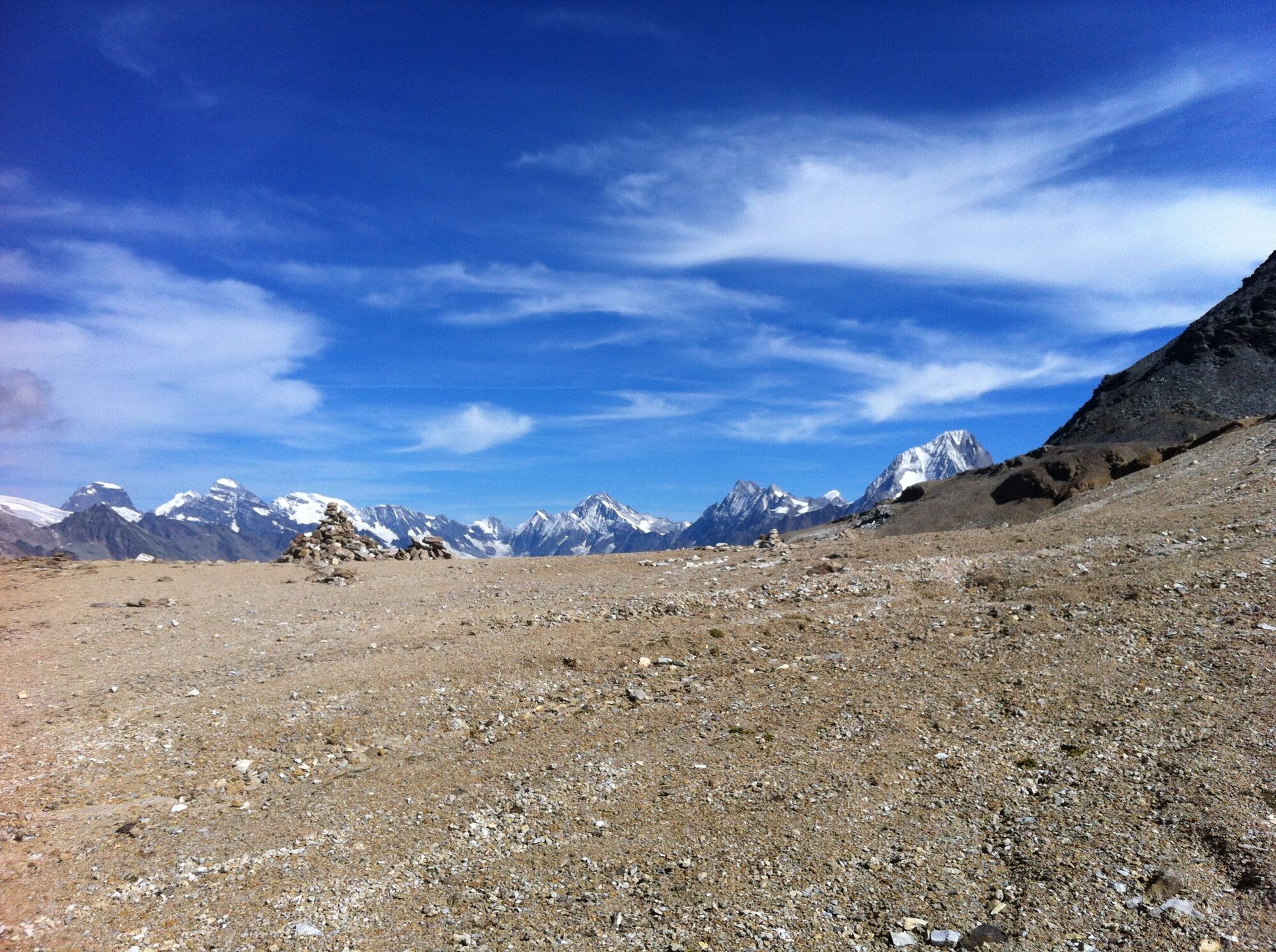
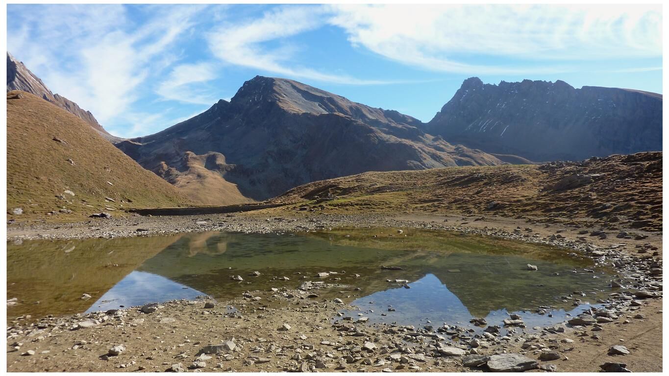
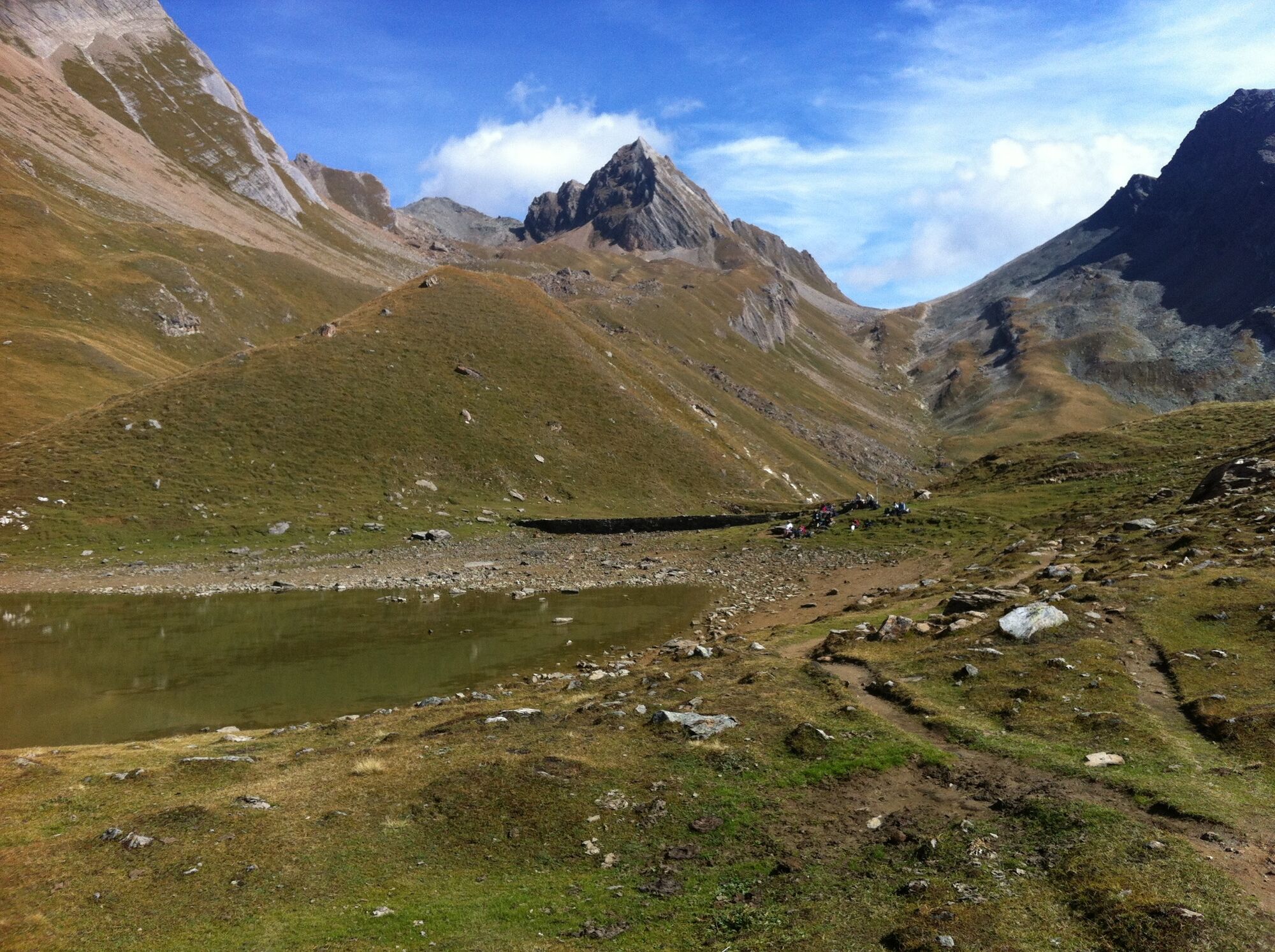
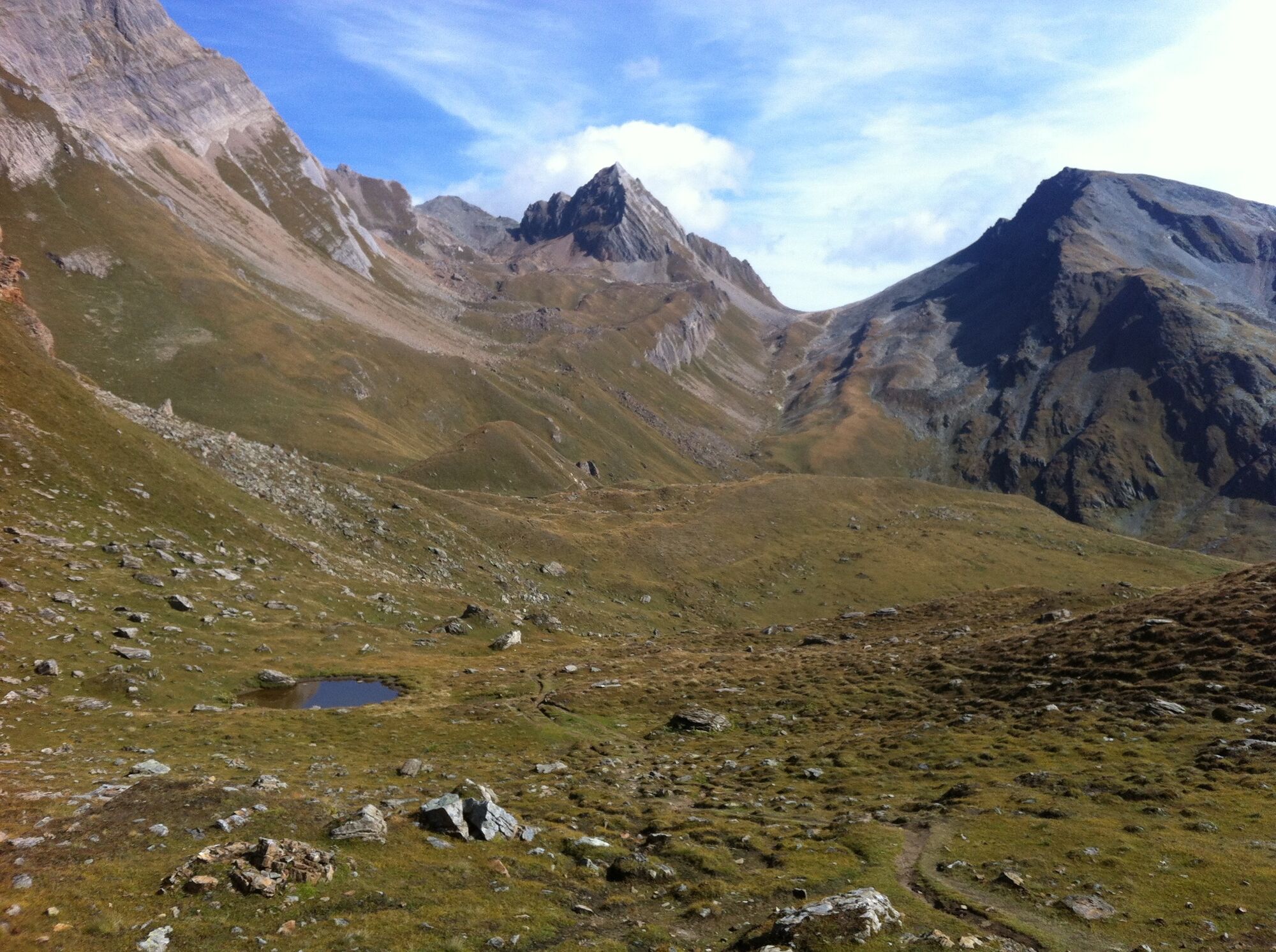
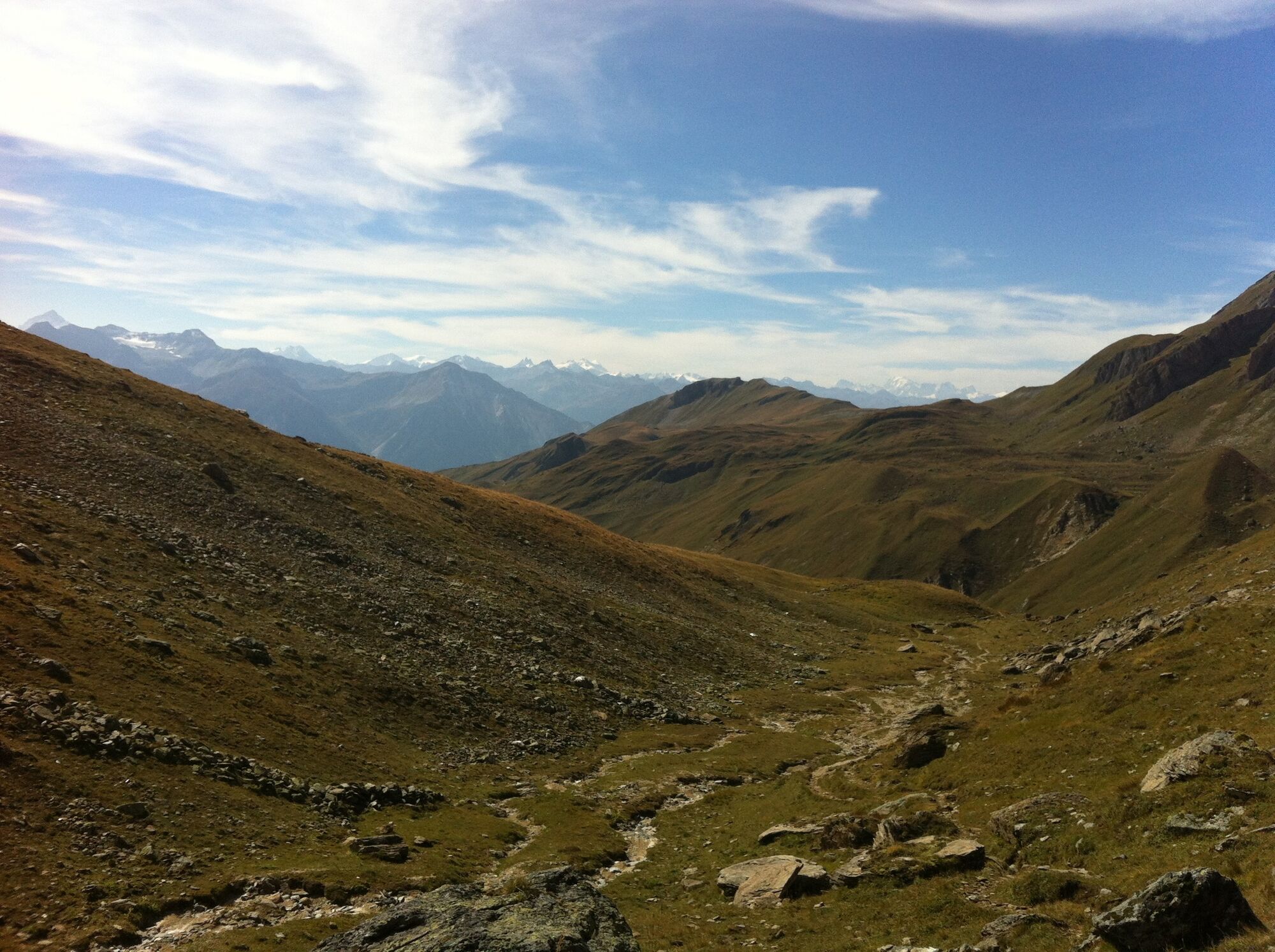
This great mountain hike leads from Lauchernalp first on the Lötschentaler Höhenweg via Hockenalp and Kummenalp to Restialp. From here, the mountain trail climbs steadily to the Restipass at 2,626 m.a.s.l. From the top of the pass, the trail leads through a beautiful mountain landscape, gently descending past small lakes to the Rinderhütte station, from where the cable car takes you to Leukerbad.
- Directions
-
Lauchernalp-Hockenalp-Kummenalp-Restialp-Restipass-Rinderhütte (Leukerbad)
- Highest point
- 2,625 m
- Endpoint
-
Bergstation Rinderhütte, Leukerbad
- Height profile
-
 © outdooractive.com
 - Equipment
-
good footwear
clothing suitable for the weather: always carry a waterproof jacket
hat or cap
sunscreen
bottle for water
picnic
camera
binoculars (optional)
hiking poles (optional)
printout of this hike (click «Print» icon, to download) - Safety instructions
-
Plan your tour carefully
Ensure that you have a full set of appropriate equipment
Never embark on a tour alone
Inform friends, relatives, the mountain hut supervisor or the hotel porter of your proposed tour. Report back when you arrive at your destination.
Keep a constant eye on weather developments
Adhere to the principle: if in doubt, turn back! - Tips
-
The 1: 25,000 scale hiking map is your perfect companion for an unforgettable day's hiking in the Lötschental. Available from the Lötschental Tourist Information Office in Wiler or online at www.loetschental.ch/webshop
- Directions
-
Drive up to Leukerbad from Leuk. Leukerbad has a guided parking system - follow the signs.
- Public transportation
-
Take the train to Leuk and then continue by bus to Leukerbad.
- Parking
-
You can park your car in the Torrent indoor car park (not free).


- Author
-
The tour Lauchernalp - Restipass - Rinderhütte (Leukerbad) is used by outdooractive.com provided.


General info
-
Oberwallis
1873
-
Lötschental
1066
-
Ferden
199