


- Brief description
-
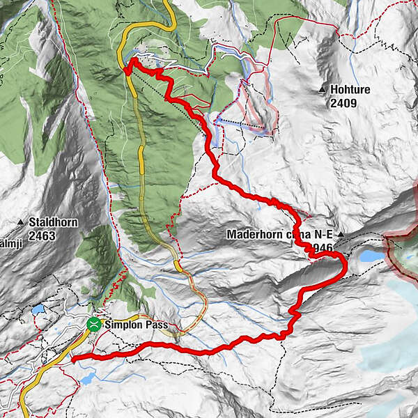
This hike takes you from the Simplon Pass in a southeasterly direction over the Mäderlicka and near the SAC Hut Monte Leone over the Chaltwasser Pass to Rothwald.
- Difficulty
-
medium
- Rating
-
- Starting point
-
Simplonpass, Hospiz post bus stop
- Route
-
HospizMäderhorn (2,900 m)5.1 kmRothwald10.0 kmRothwald10.8 km
- Best season
-
JanFebMarAprMayJunJulAugSepOctNovDec
- Description
-
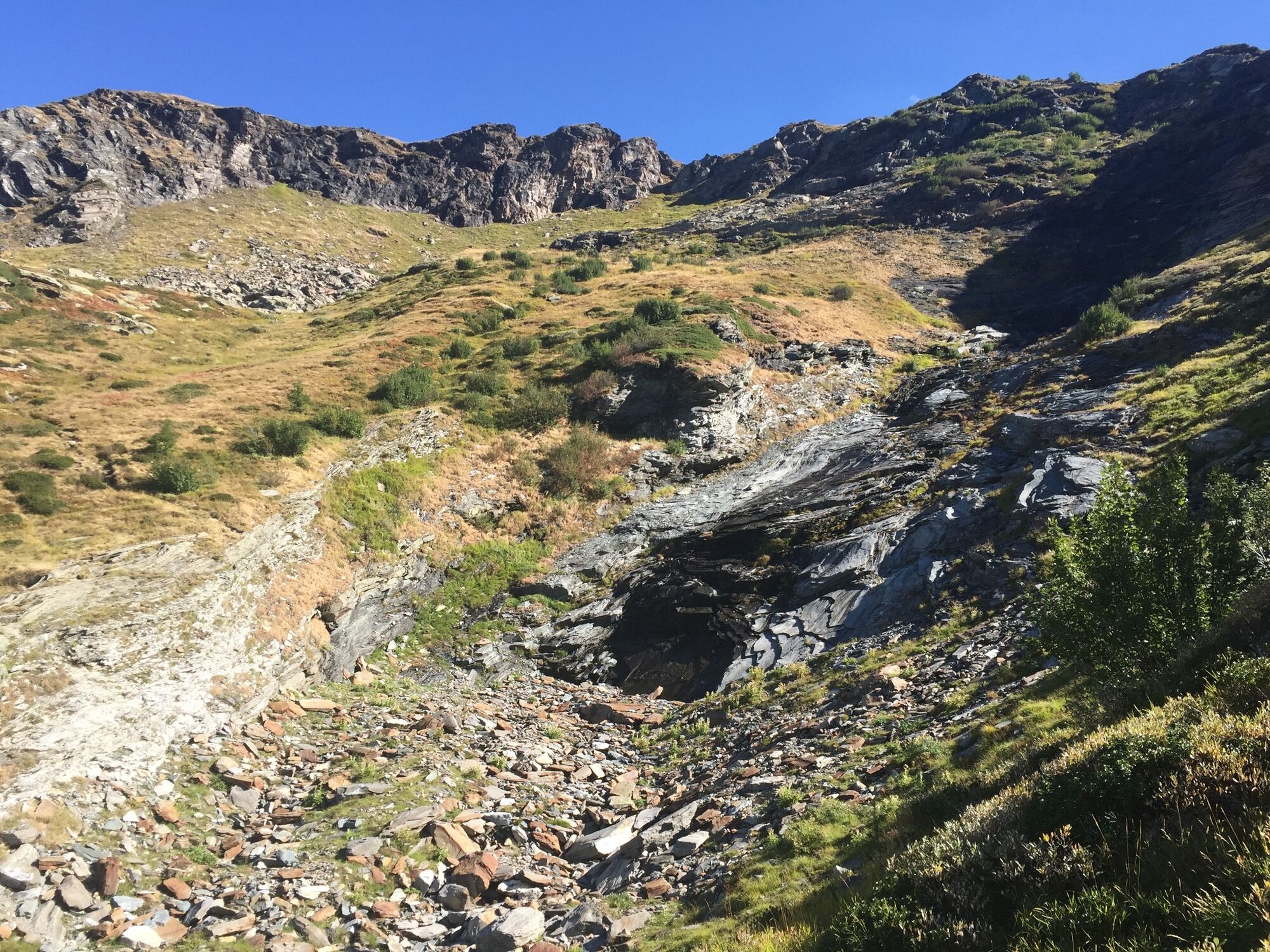
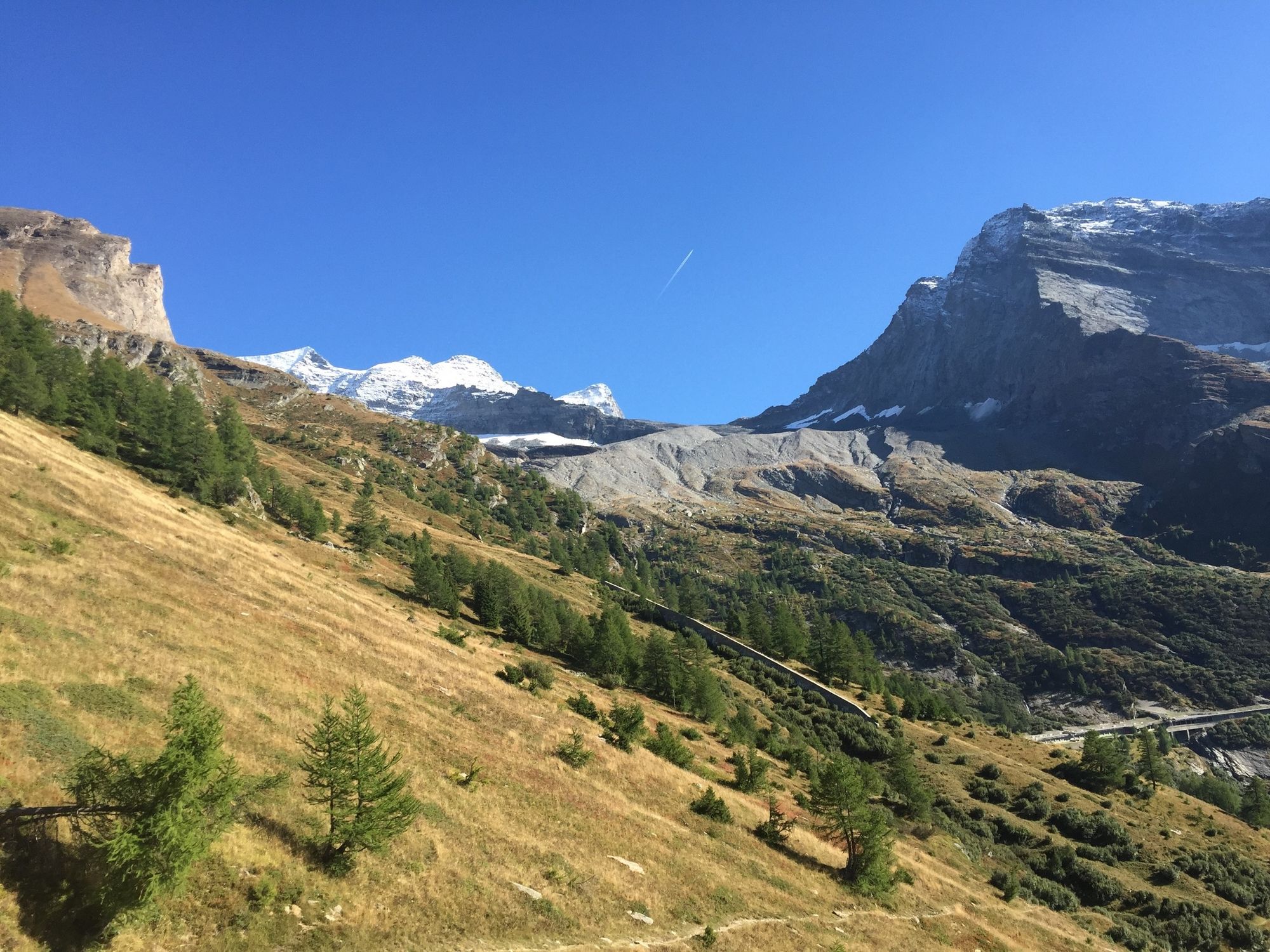
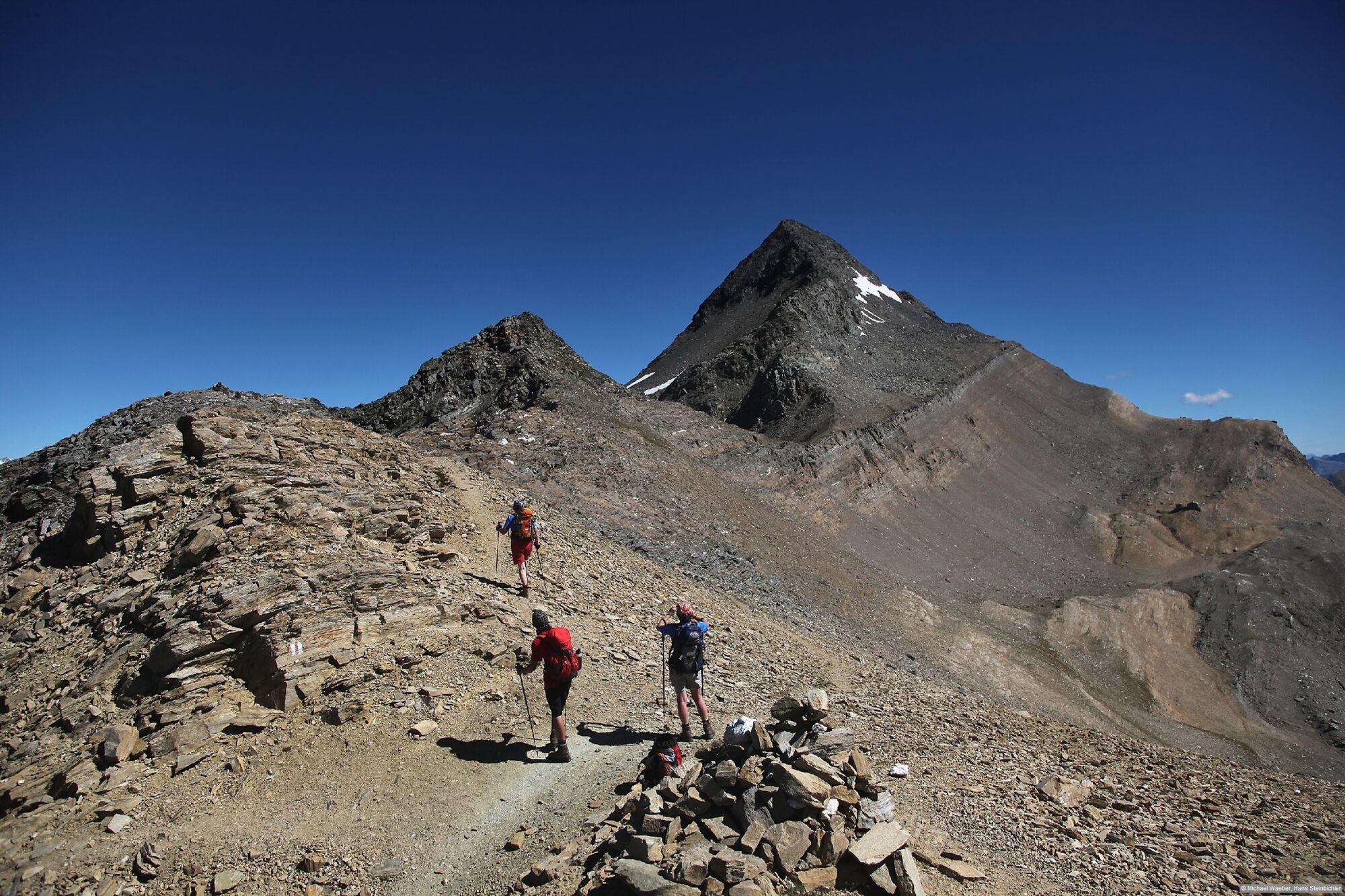
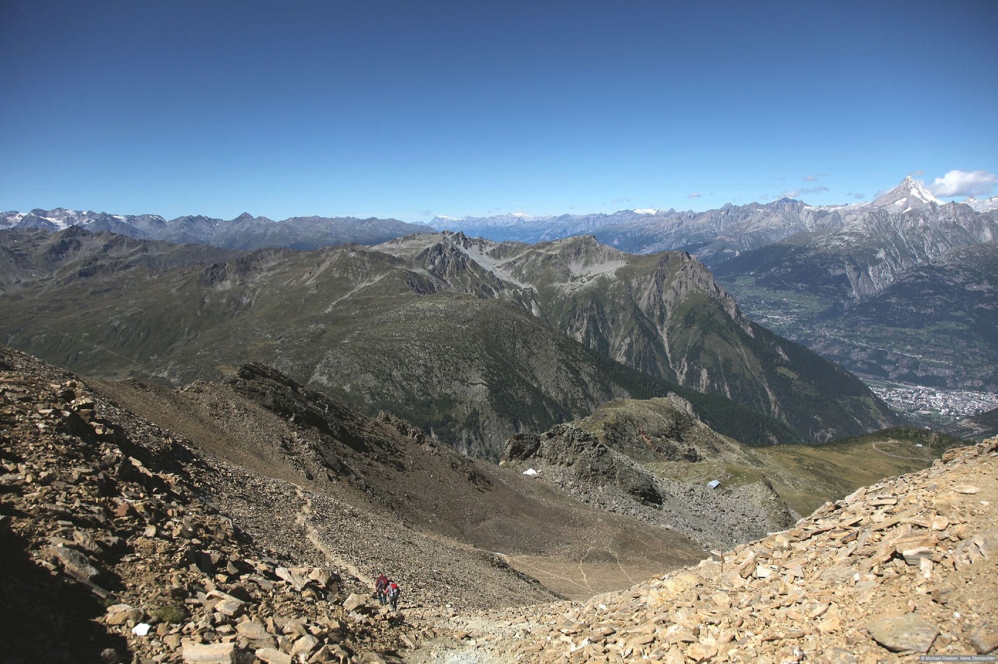
By post bus you reach the Simplon Pass (2005 m.a.s.l.). The path begins at the hospice and leads in the direction of Chaltwasser. Here a detour to the SAC hut Monte Leone is possible. The path continues to Mäderlicka (2887 m.a.s.l.). The descent is very steep and requires good footwear. Partly slippery and rock scree as a base. Via Hohbiel you reach the bus stop in the Rothwald.
Further information can be found at www.brig-simplon.ch
- Directions
-
Simplon Hospiz - Chalti Wasser - Mäderlicka - Jochtwald - Rothwald
The hike can be continued from Rothwald to Brig via the Stockalperweg.
- Highest point
- 2,878 m
- Endpoint
-
Rothwald, bus stop
- Height profile
-
 © outdooractive.com
 - Equipment
-
Equipment adapted to the weather is indispensable. For all hikes it is strongly recommended to wear good, sturdy mountain boots.
- Safety instructions
-
The hike is at your own risk. Insurance is the responsibility of the hiker.
- Tips
-
Enjoy the two pass crossings Chaltwasser and Mäderlicka.
- Additional information
- Directions
-
By post bus or private vehicle to the Simplon Pass.
- Public transportation
-
From Brig you travel by post bus to the Simplon Pass.
- Parking
-
Parking is available on the Simplon Pass and in Brig.


-

-
AuthorThe tour Simplonpass - Mäderlicka - Rothwald is used by outdooractive.com provided.


General info
-
Aletsch Arena
1485
-
Brig Simplon
481
-
Rosswald
184


