


- Brief description
-
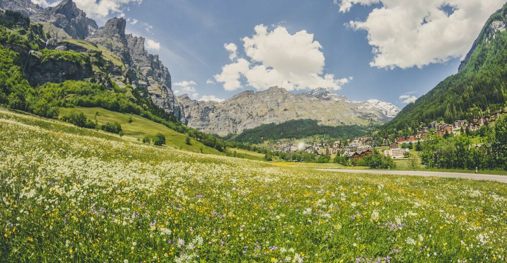
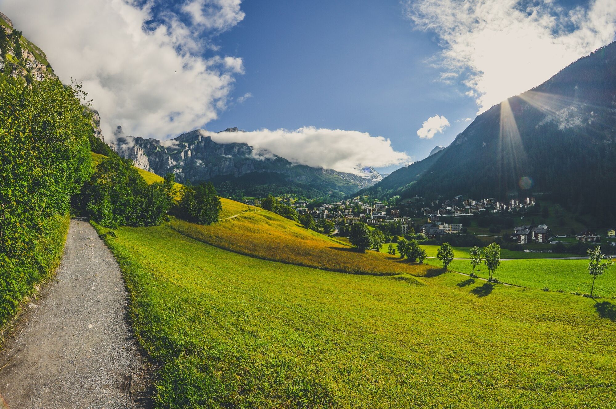
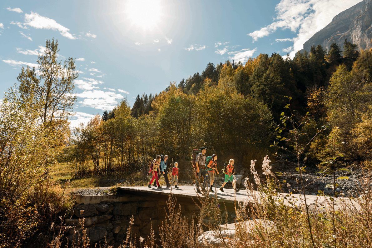
The Roman Path is the ideal hike for the whole family. The route is more or less flat and can be completed without much effort.
- Difficulty
-
easy
- Rating
-
- Starting point
-
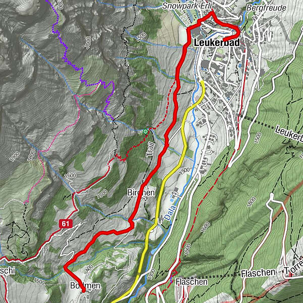
Leukerbad, Sportarena
- Route
-
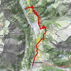
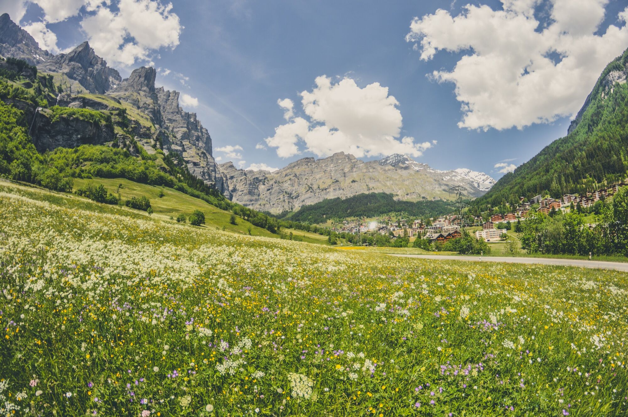
Loèche-lès-Bains (1,402 m)Birchen2.3 kmBodmenstübli3.6 kmBodmen3.6 kmRestaurant Birchen4.9 kmLoèche-lès-Bains (1,402 m)7.2 km
- Best season
-
JanFebMarAprMayJunJulAugSepOctNovDec
- Description
-
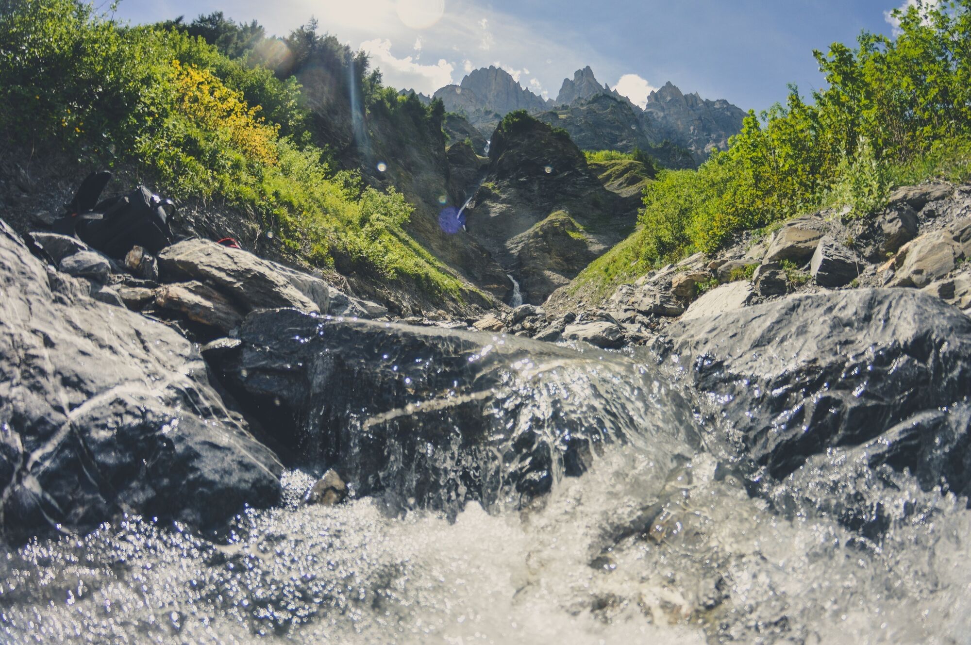
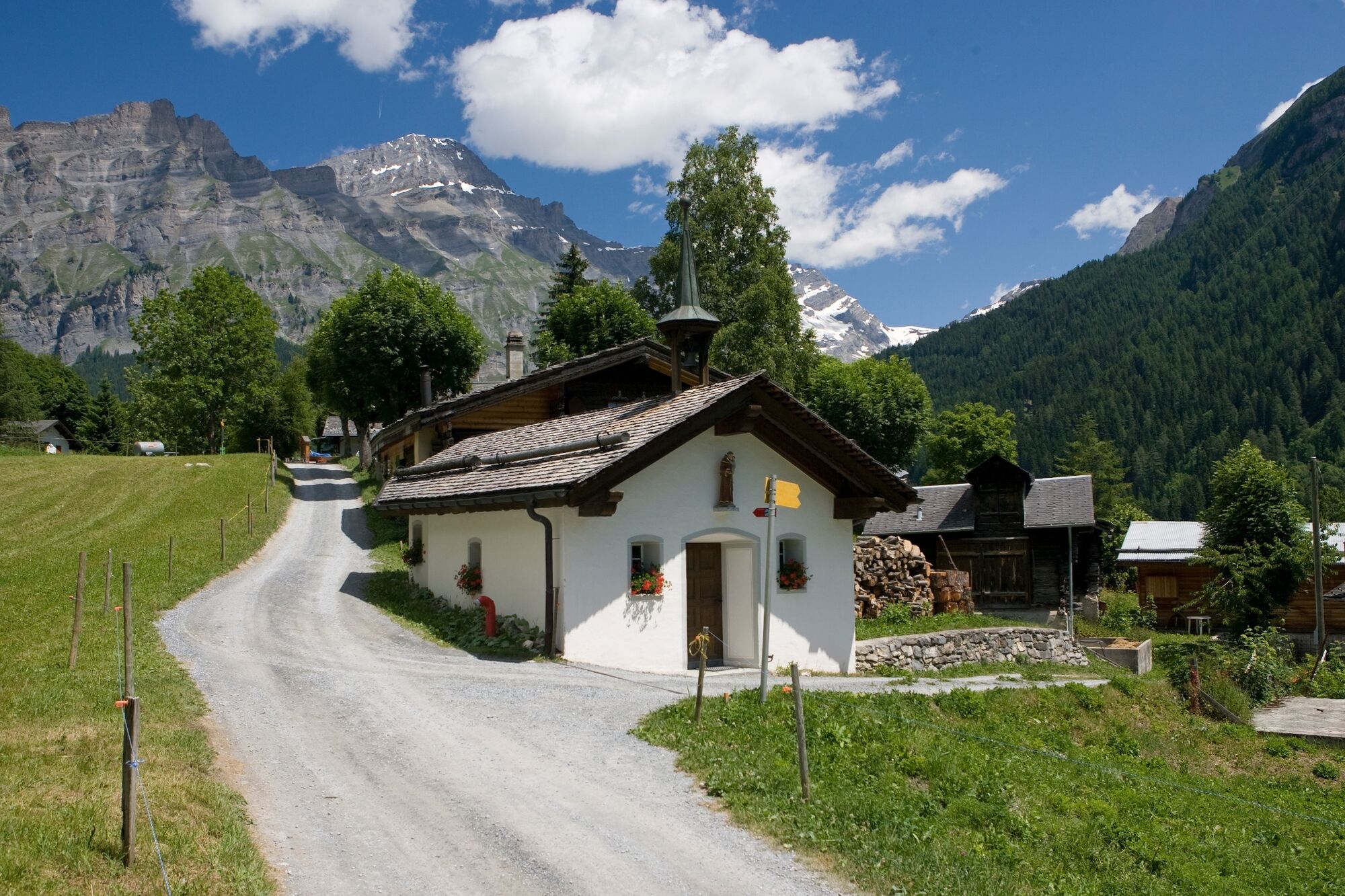
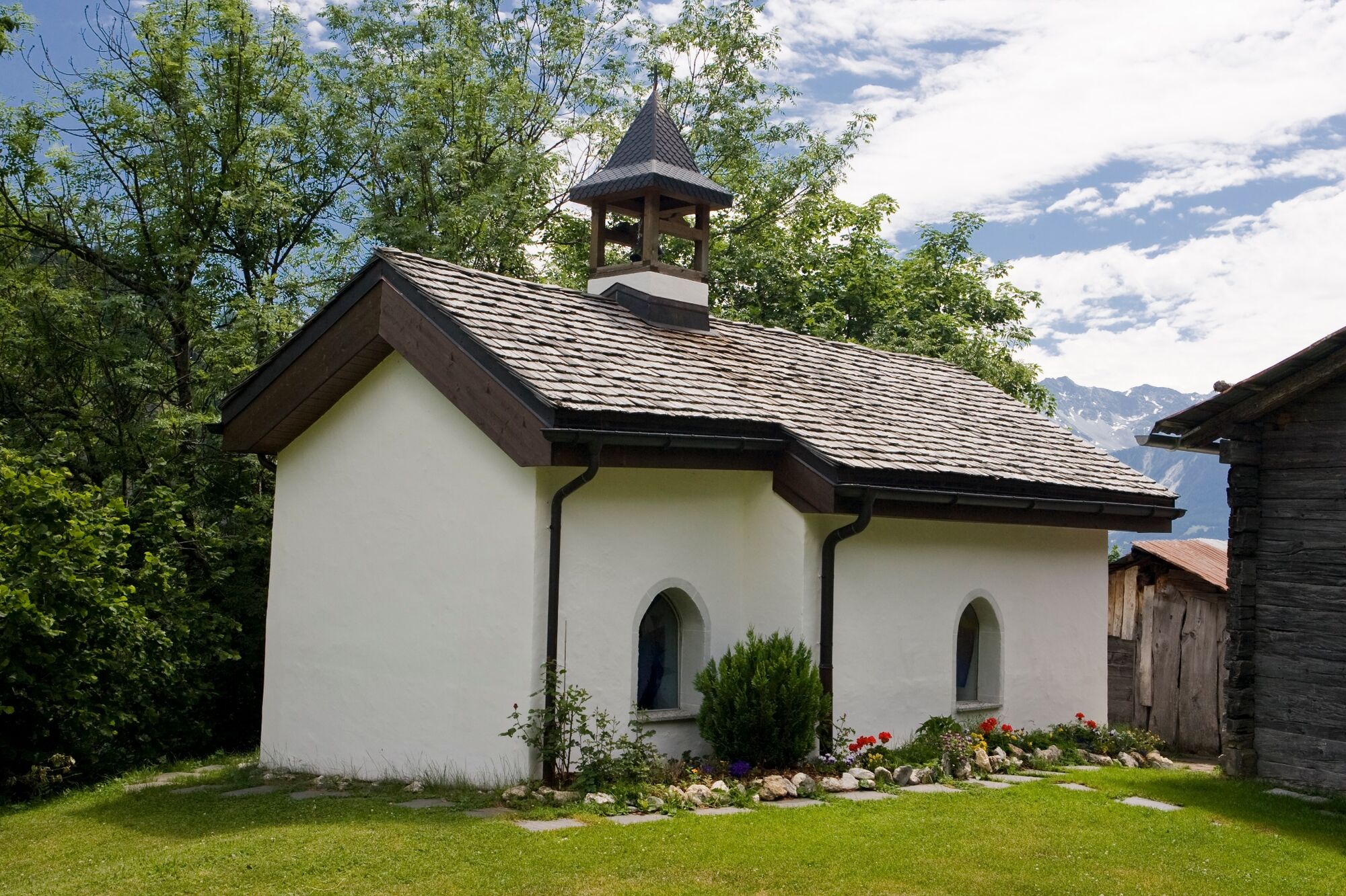
The trail starts behind the sports arena in Leukerbad. In around 30 minutes you will reach the hamlet of Birchen, where you already have the first opportunity to quench your hunger and thirst. Also visit the St. Antonius Chapel. If you have lost something, donate a candle. It might turn up again.
Continue on the path towards Bodmen. Once you have arrived, you can enjoy a culinary treat in the Bodmenstübli. For the way back you will need about 50 minutes again.
- Highest point
- 1,404 m
- Endpoint
-
Leukerbad, Sportarena
- Height profile
-
 © outdooractive.com
 - Equipment
-
Day hiking bag (approx. 20 litres) with rain cover, sturdy and comfortable footwear, multi-layered clothing suitable for the weather and hard-wearing, telescopic poles, sun and rain protection, provisions and drinking water, first aid kit, pocket knife, mobile phone, maps.
- Safety instructions
-
Bring a map. Download full description of this route including large-scale map by clicking on "Print" icon, top right of this page.
Use marked trails only, and observe all signposting – for your own safety, to safeguard grazing animals and to avoid disturbing wildlife.
Close gates after passing through.
Please be considerate to other trail users, and to the plants and animals.
- Tips
-
From Bodmen you can continue the hike to Inden along the old railway line.
- Additional information
-
The tourist office in Leukerbad has got brochures and information material about hiking in the region and will give you detailled information about this hike.
- Directions
-
From Basel and Zurich: A1 motorway to Bern; A6 to Spiez; direction Kandersteg; Kandersteg - Goppenstein car transport; direction Gampel; Leuk - Leukerbad.
From Geneva: Motorway A1 to Lausanne; direction Sion/Sierre; Leuk - Leukerbad.
From Milan: Motorway A8/A26 direction Simplon; car transport Iselle-Brig; direction Leuk - Leukerbad.
- Public transportation
-
Leuk can be reached by train (SBB), then by bus (LLB - Leuk Leukerbad Bus Reisen) to the starting point in Leukerbad.
- Parking
-
Various parking options in the village of Leukerbad. Follow the local parking guidance system.
Car parks in Leukerbad: Sportarena parking, Rathaus parking, Torrent parking, Leukerbad Therme parking, Alpentherme parking.
- Author
-
The tour Roman Path is used by outdooractive.com provided.


General info
-
Oberwallis
1873
-
Leuk/Leukerbad
1019
-
Leukerbad
304