- Brief description
-
Easy loop ideal at the beginning of the season as it does not exceed 1479 meters in altitude.
- Difficulty
-
medium
- Rating
-
- Starting point
-
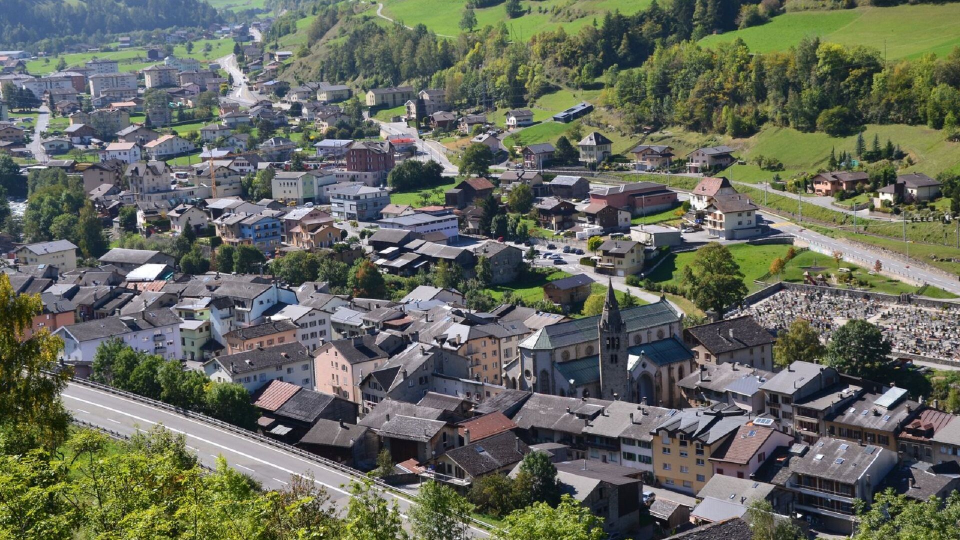
Orsières station
- Route
-
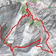
Le Quai de l'Ours/Hôtel TerminusOrsièresLe Biolley0.1 kmSom-la-Proz0.9 kmPrassurny (1,105 m)1.7 kmChampex-Lac4.8 kmChez-Les-Reuses6.9 kmLe Biolley7.5 kmOrsières8.2 km
- Best season
-
JanFebMarAprMayJunJulAugSepOctNovDec
- Description
-
Easy trail but quite intense with a fairly steep ascent and descent.
- Directions
-
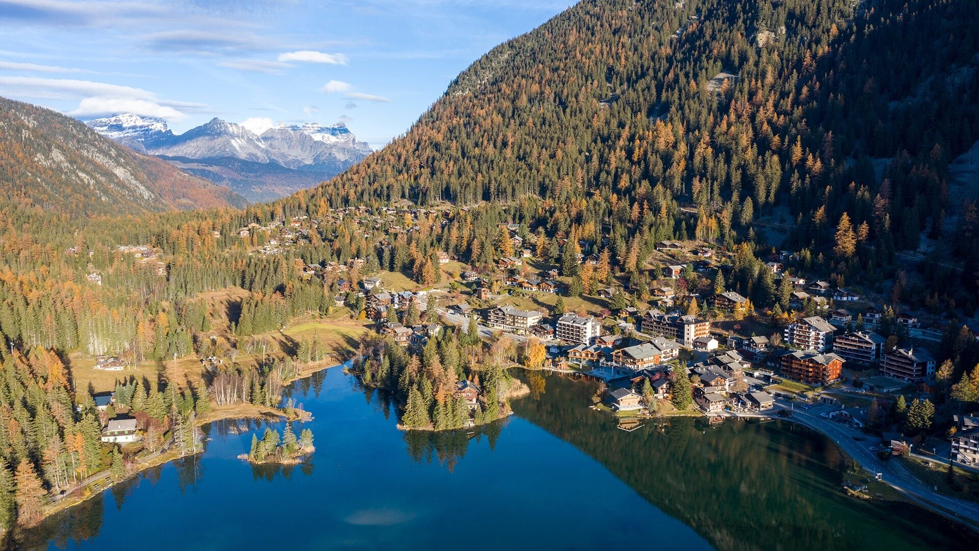
From Orsières station, cross and follow the railway line and then follow the direction of Chez-les-Reuses and Champex-Lac. Don't hesitate to go and have a look at the lake. The descent is on the Tour du Mont-Blanc route to the chalet de l'Affe. Then take the route du Niolet as far as Prassurny and return to Orsières by the road to St-Nicolas.
- Highest point
- 1,472 m
- Endpoint
-
Orsières station
- Height profile
-
 © outdooractive.com
 - Directions
-
Exit the motorway at Martigny.
Follow the direction Grand-Saint-Bernard then exit at Orsières.
- Public transportation
- Parking
-
Free parking at the train station or 100 meters before on the left.


- Author
-
The tour N° 09 Orsières-Champex is used by outdooractive.com provided.
GPS Downloads


General info
Refreshment stop
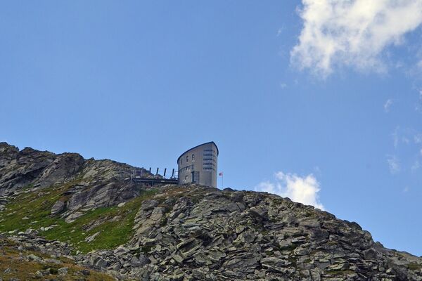
A lot of view
Other tours in the regions