De Chalais aux chalets ... en passant par BRIEY, Vercorin


- Brief description
-
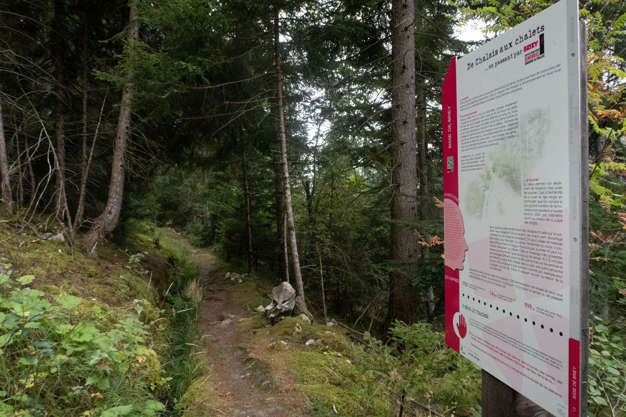
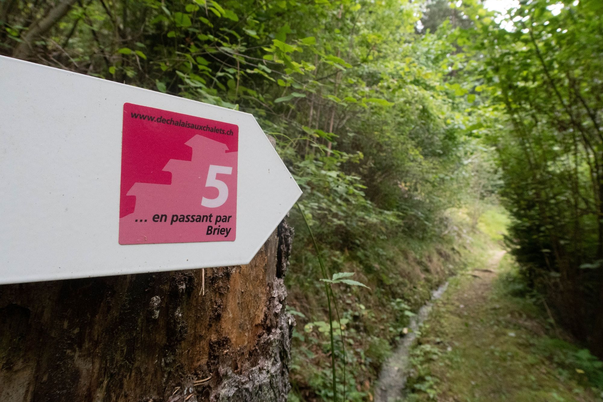
This educational trail, which passes through Briey, encourages reflection and meditation through awareness of the 5 senses. Allow around 1? hours for a great walk!
- Difficulty
-
easy
- Rating
-
- Starting point
-
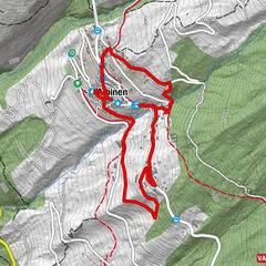
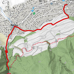
Chalais-Vercorin cable car intermediate stop at Briey
- Route
-
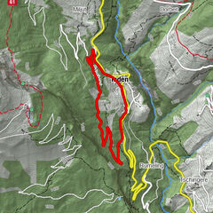
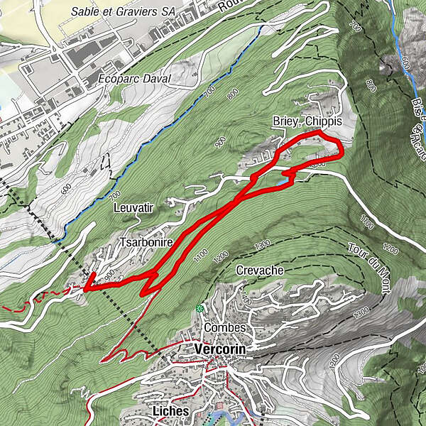
Briey, Chippis2.7 kmBriey, Chalais4.0 km
- Best season
-
JanFebMarAprMayJunJulAugSepOctNovDec
- Description
-
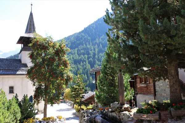
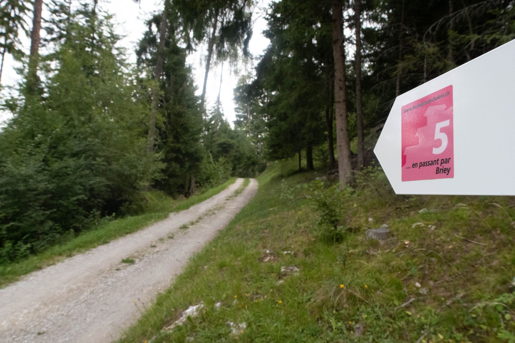
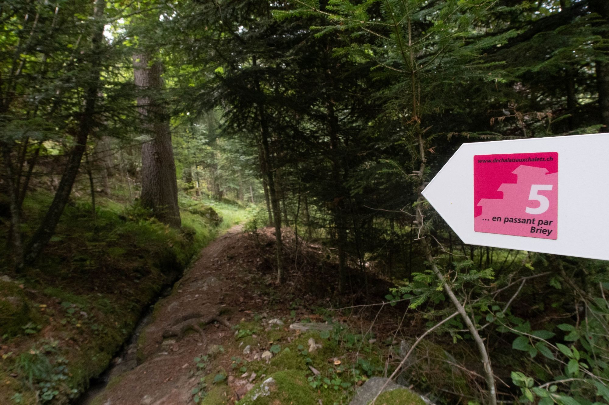
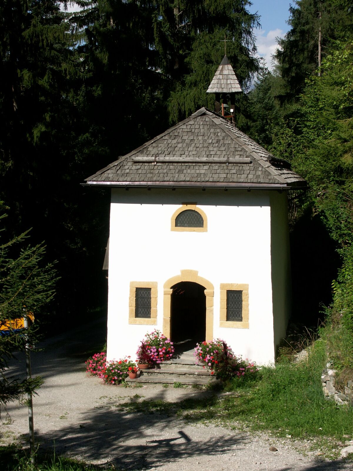
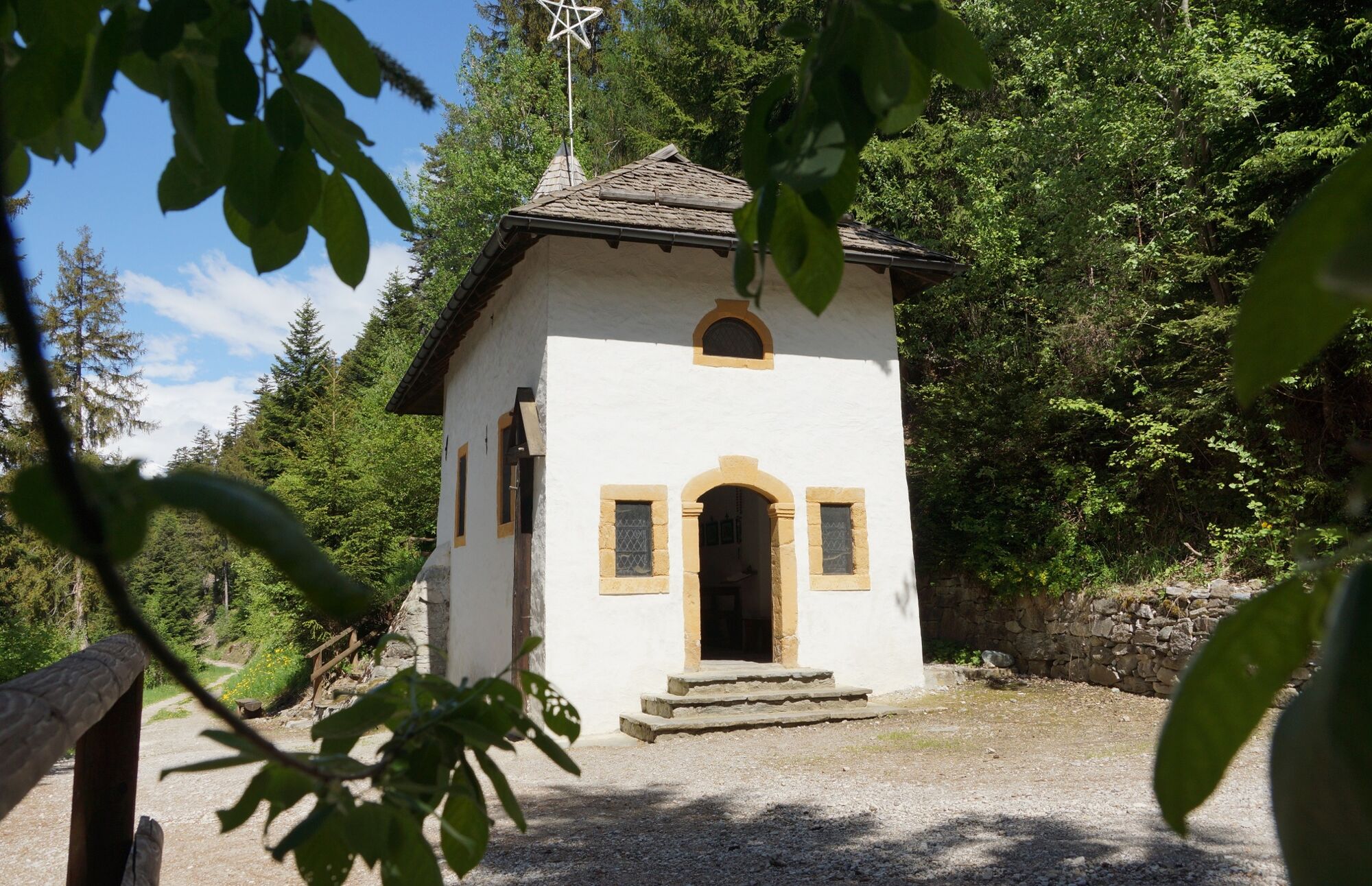
Easily accessible by the Chalais - Vercorin cable car (you have to stop at the intermediate stop), this trail passes through the small hamlet of Briey in a bucolic setting, with a magnificent view over the Rhône plain. Situated in a mountainous area dominated by spruces and Scots pines, this educational walk invites walkers to reflect and meditate by becoming aware of their five senses. The trail is full of wonderful discoveries: it takes the walker to the charming little Chapelle du Bouillet and then, after skirting the edge of the Etang de Briey, takes in a section of the Bisse de Briey, winding its way through a mosaic of natural and built environments. This five-kilometre loop should be completed in no hurry, so that you can enjoy the varied scenery and the sensations that come with it!
- Directions
-
From the intermediate cable car stop, head up towards the main road. Cross the road and continue up towards the Chapelle du Bouillet. Continue towards Chippis and the Plan du puits. Continue along the path until you reach the Briey bus stop at the junction for Chippis. From here, follow the path back to the cable car via the Bisse de Briey.
- Highest point
- 1,032 m
- Endpoint
-
Chalais-Vercorin cable car intermediate stop at Briey
- Height profile
-
 © outdooractive.com
 - Equipment
-
We recommend :
Good footwear Weather-appropriate clothing: always carry a waterproof jacket Hat or cap Sun cream Bottled water Walking sticks (optional) Not accessible by pushchair - Safety instructions
-
Leave nature behind as it was before you set off.
Respect the tranquillity of wild animals.
Never set off alone on a difficult hike.
In the mountains, the climate is harsher and the weather changes quickly, so equip yourself accordingly! - Tips
-
Take time to stop and admire the Chapelle du Bouillet, nestling in the heart of the forest!
- Additional information
-
Time calculated without reading the signs
-

-
AuthorThe tour De Chalais aux chalets ... en passant par BRIEY, Vercorin is used by outdooractive.com provided.


General info
-
Thyon les Collons
1433
-
Crans - Montana
984
-
Vercorin
345