
- Brief description
-
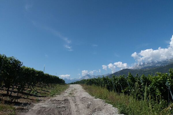
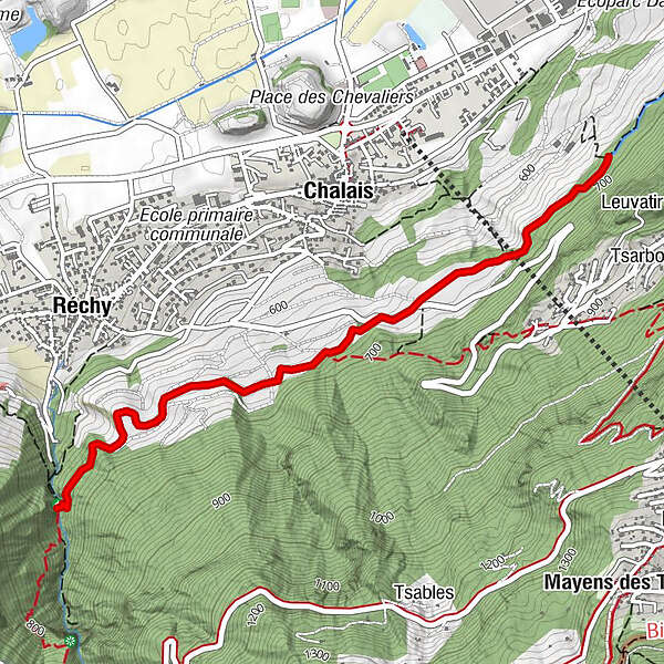
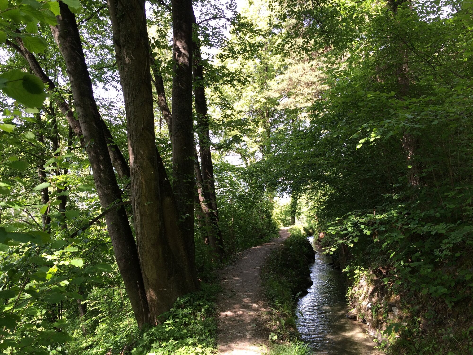
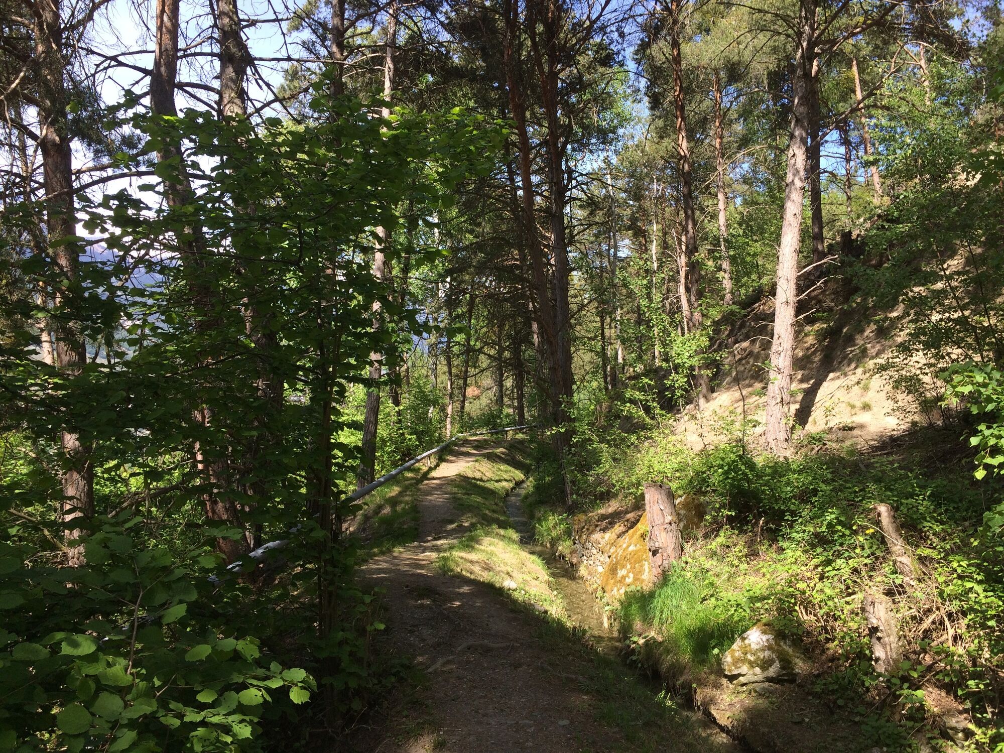
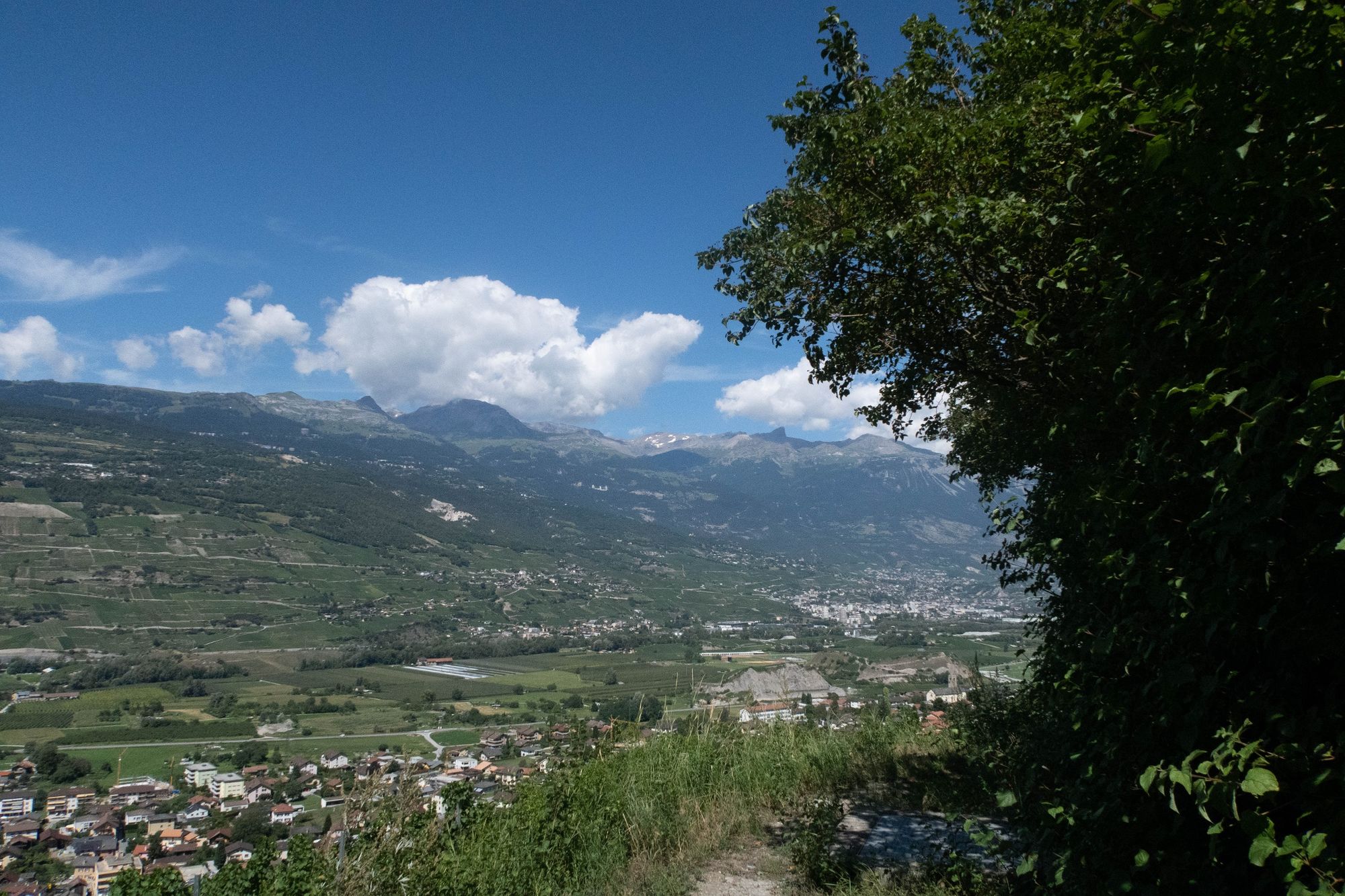
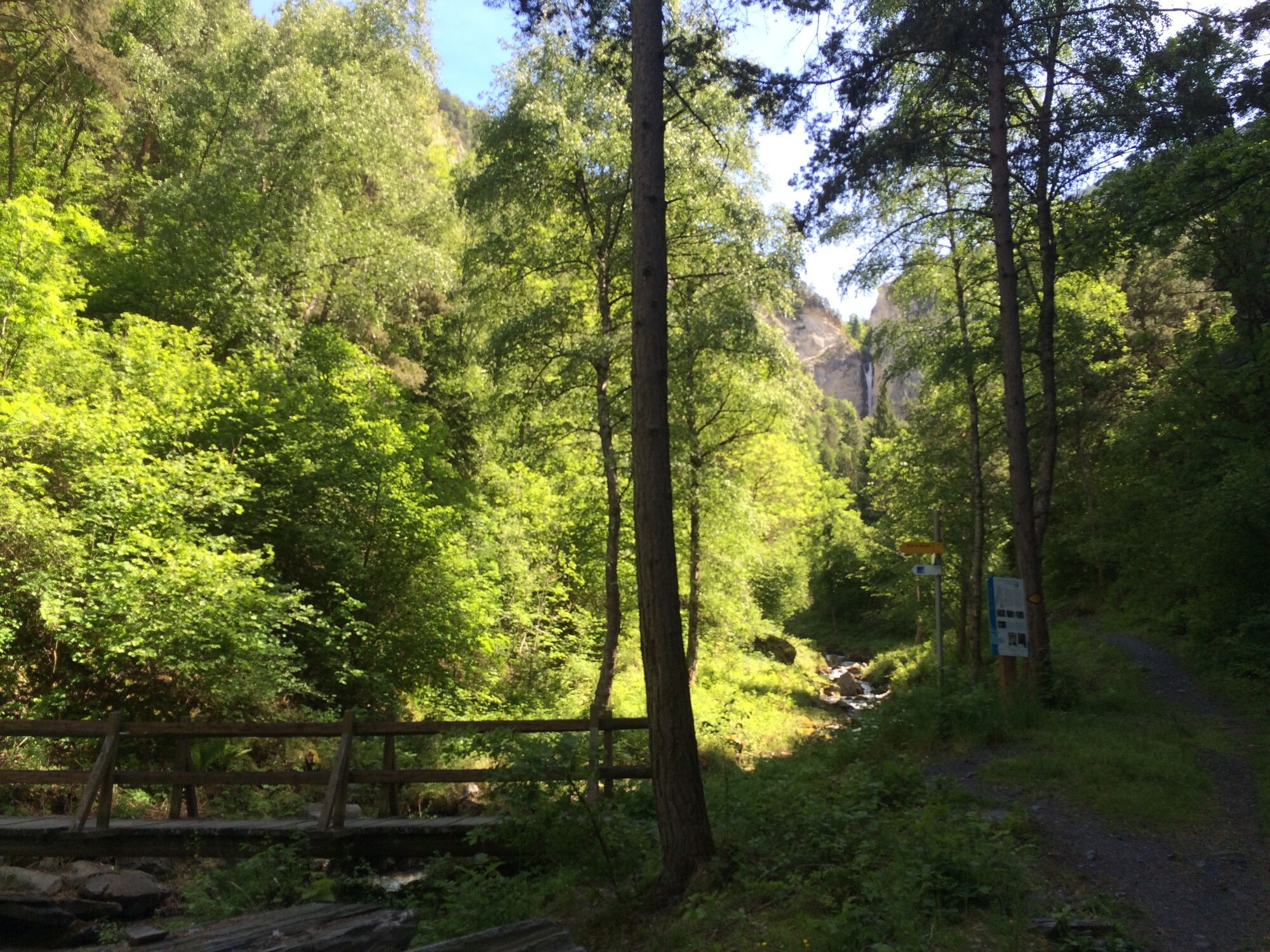
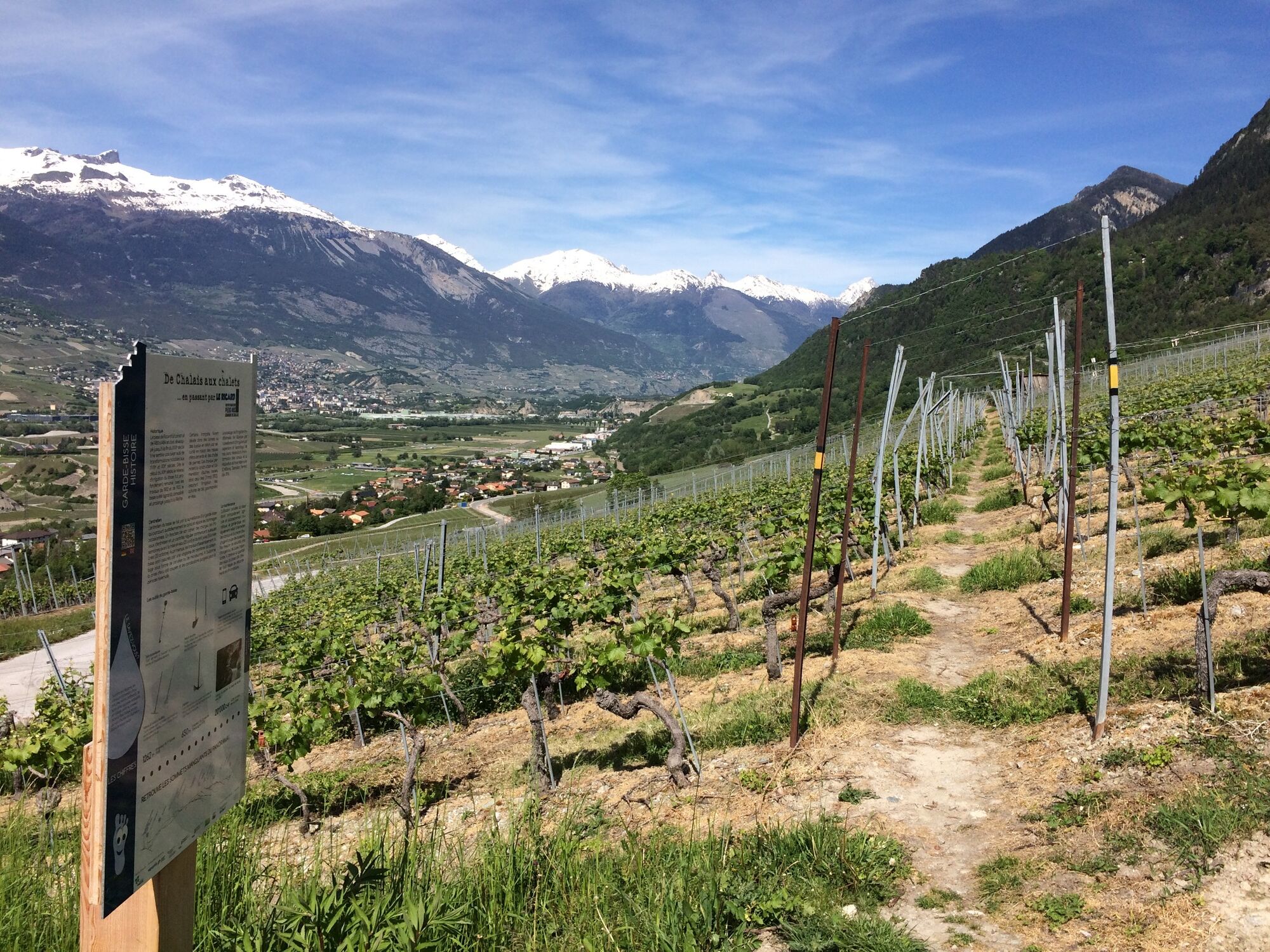
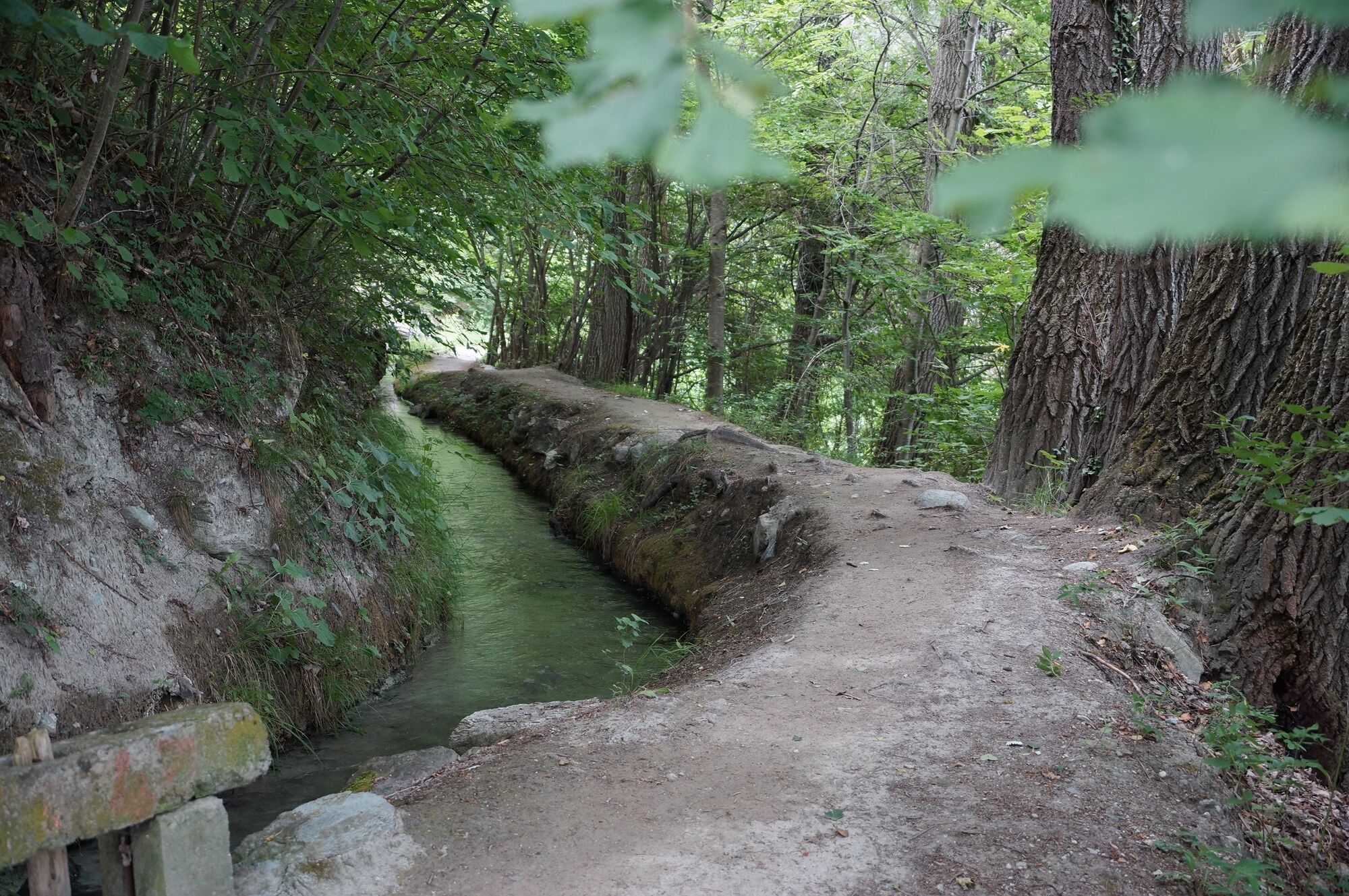
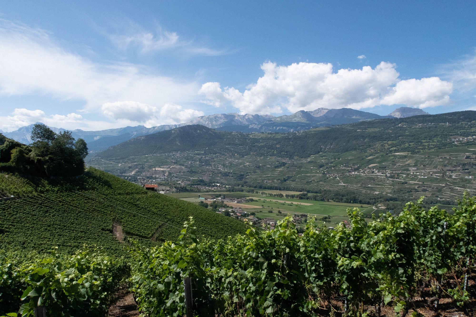
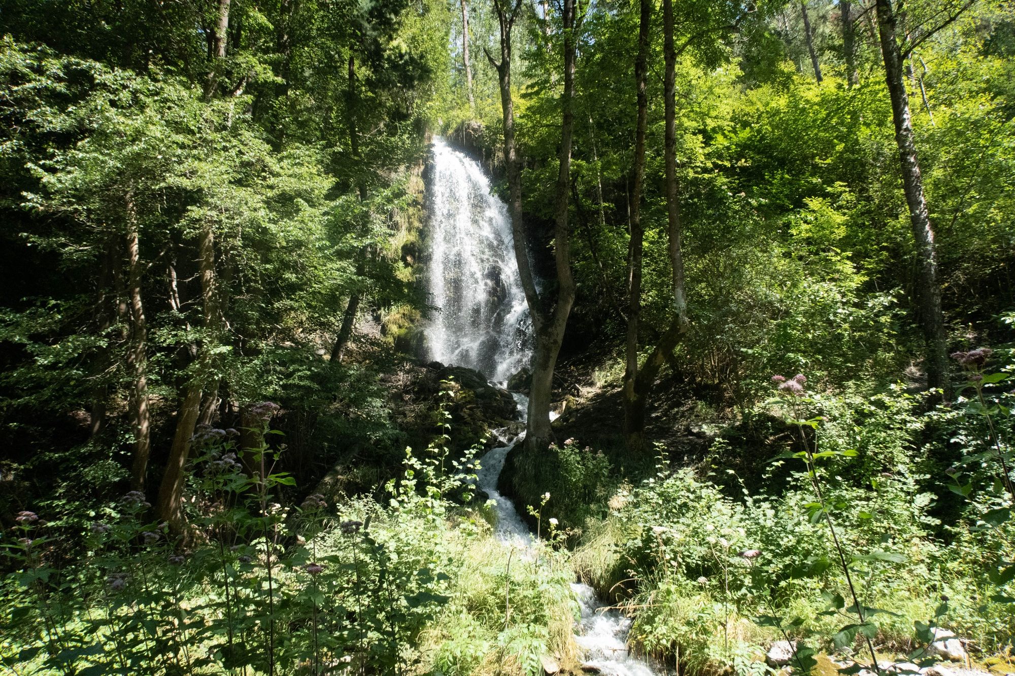
Drawing its water from the Navisence and flowing down to the Rèche, the Ricard bisse is the ideal place to enjoy the view over the heights of the village of Chalais.
- Difficulty
-
easy
- Rating
-
- Starting point
-
La Rèche
- Route
-
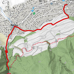
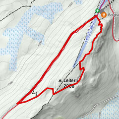
Ancienne mine de charbon0.0 kmRéchy0.6 kmSchalei (557 m)1.9 km
- Best season
-
JanFebMarAprMayJunJulAugSepOctNovDec
- Description
-
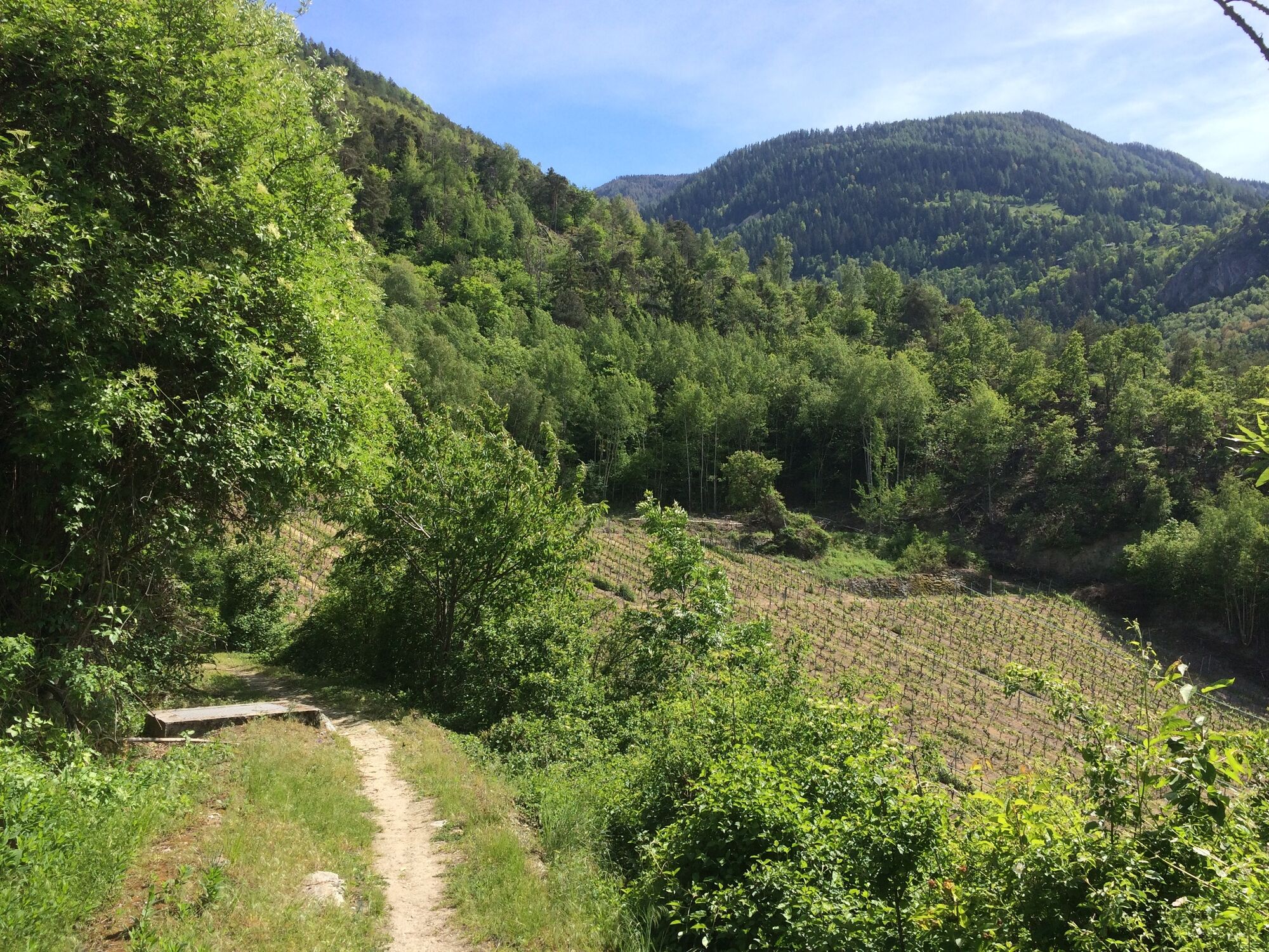
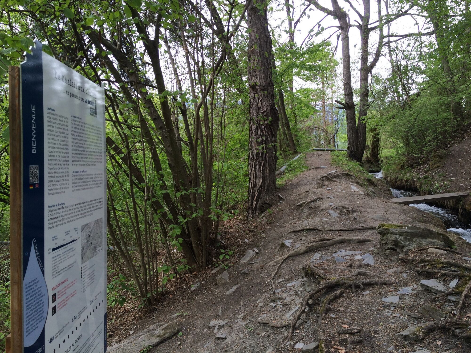
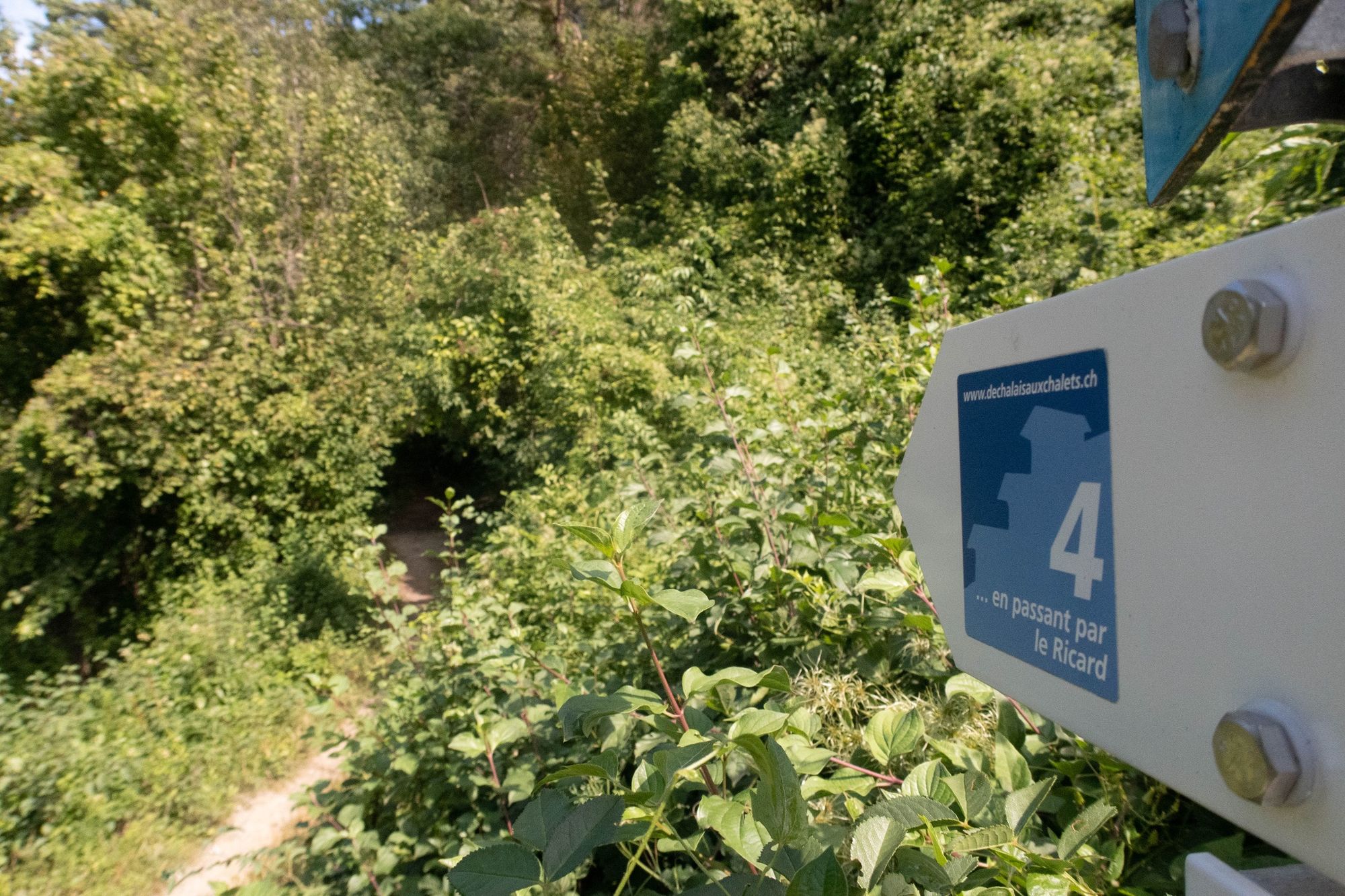
The Bisse du Ricard draws its water from the Navisence gorges and flows down to the Rèche. It offers a magnificent walk above the Rhône plain. The signs explain how the bisses work, what they are used for, their links with agriculture, fauna and flora, and a little history. The trail can be walked in either direction, starting from Chalais, Arche des Crétillons or Réchy.
The trail is part of the De Chalais aux Chalets educational trail concept. A 7km loop allows you to take 3 of the educational trails in succession to return to the starting point: via the Farm, via Chalais and via Réchy. The fun aspect of the trail is enhanced by a short barefoot section and questions for children about water, fauna, flora and the mountains (> 10 years).
- Directions
-
Start at the old coal mine and walk along the bisse to the Arche des Crétillons.
No comments necessary for this walk.
- Highest point
- 662 m
- Endpoint
-
Crétillons arch
- Height profile
-
 © outdooractive.com
 - Equipment
-
We recommend :
Good footwear Weather-appropriate clothing: always carry a waterproof jacket Hat or cap Sun cream Bottled water Walking sticks (optional) Not accessible by pushchair - Safety instructions
-
Leave nature behind as it was before you came along.
Respect the tranquillity of wild animals.
Never set off alone on a difficult hike.
In the mountains, the climate is harsher and the weather changes quickly, so equip yourself accordingly! - Tips
-
A sensory and fun walk. Take the time to discover new sensations with the barefoot trail.
- Additional information
-
Time calculated without reading the signs.
-

-
AuthorThe tour De Chalais aux chalets ... en passant par LE RICARD is used by outdooractive.com provided.


General info
-
Thyon les Collons
1433
-
Crans - Montana
984
-
Chalais
327