
- Difficulty
-
medium
- Rating
-
- Starting point
-
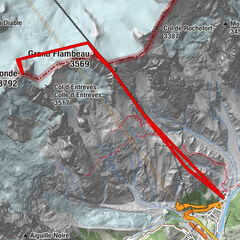
Parking of Bourg-Saint-Bernard
- Route
-
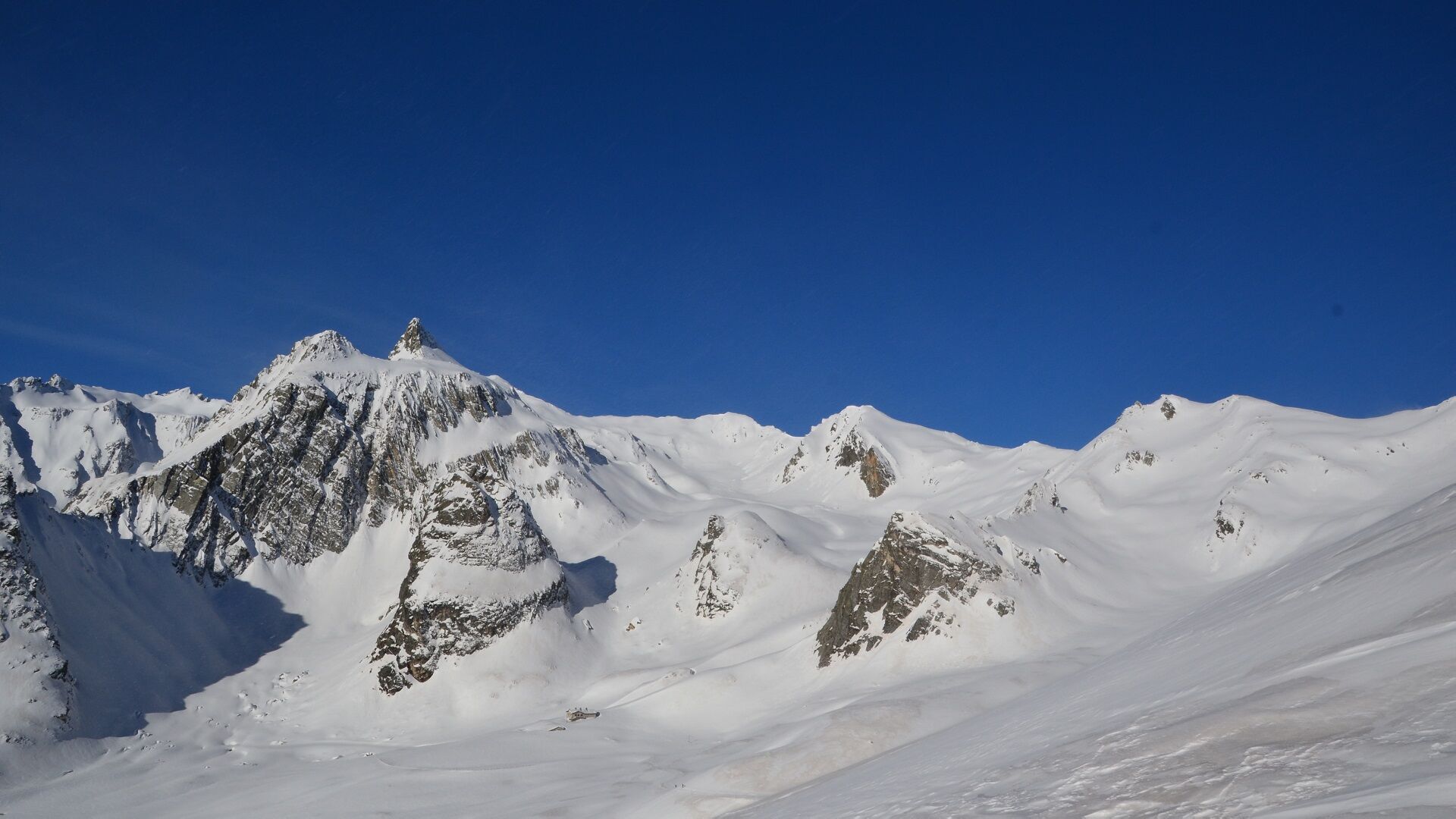
Le Tronchet3.6 kmCombe des Morts4.0 kmGreat St Bernard Hospice4.9 kmHôtel de l'Hospice4.9 kmRistorante Hotel Italia5.5 kmBar Ristorante Du Lac5.5 kmMont Fourchon (2,902 m)8.6 km
- Best season
-
AugSepOctNovDecJanFebMarAprMayJunJul
- Directions
-
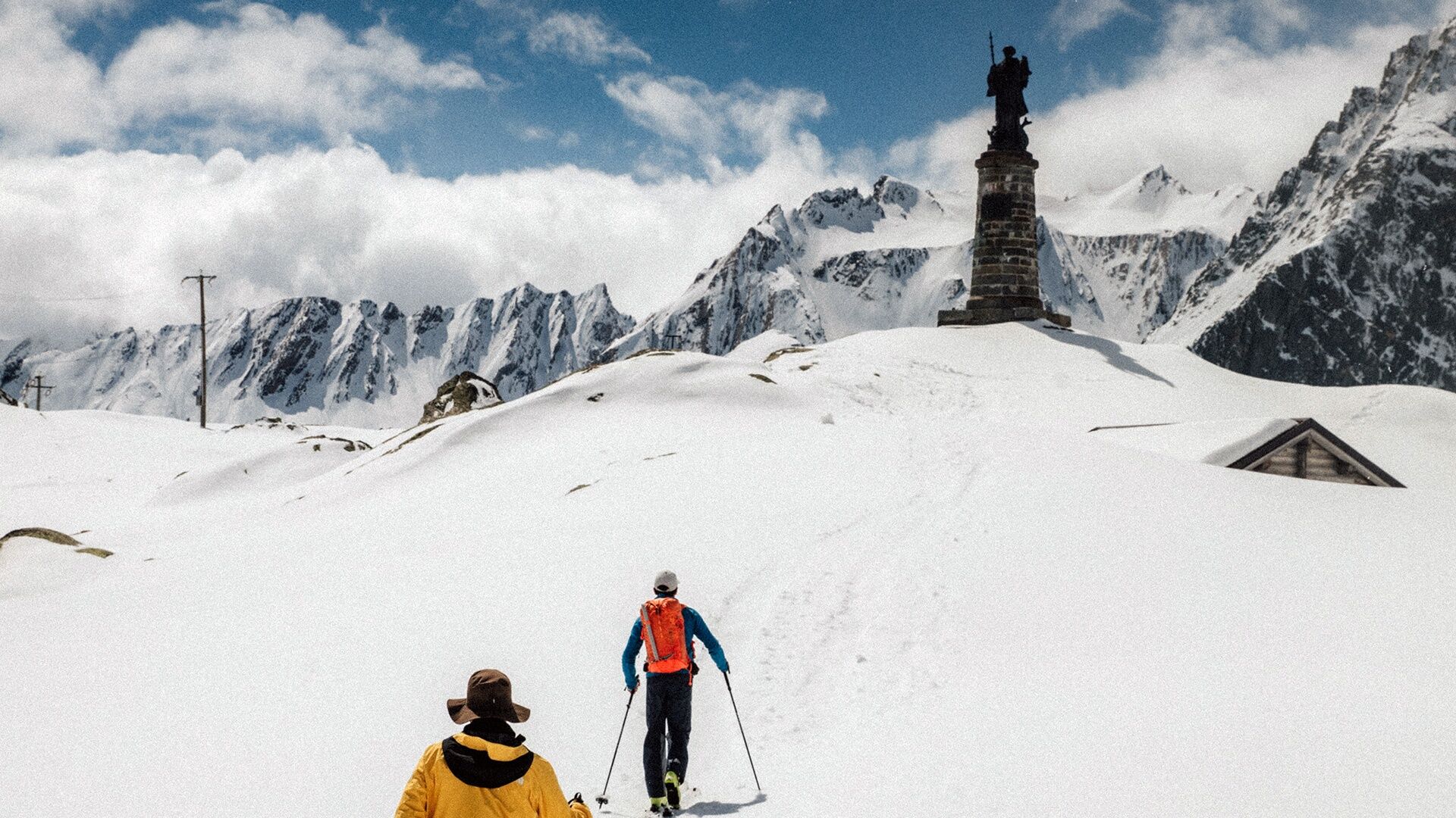
Start first on the summer road, in front of the first and then the second chimney of the tunnel. Then continue into the Combe des Morts slightly to the right. Do not turn left into the Combe de Barasson or continue on the road to the right. The hospice and the pass are at the top of this Combe.
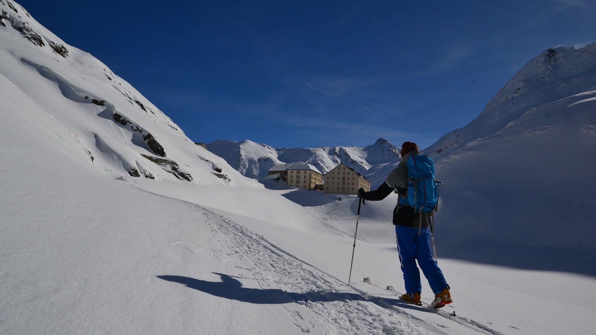
Remove the skins and go down the road on the Italian side until you reach the place called "Baou" where you have to put the skins back on. Pass to the right of the chalet and go up the small combe to the north-west to arrive on a hilly plateau at about 2540 m. Turn to the west to arrive at the foot of Mont Fourchon. Walk the last few metres.
- Highest point
- 2,894 m
- Endpoint
-
Parking of Bourg-Saint-Bernard
- Height profile
-
 © outdooractive.com
 - Safety instructions
-
These routes are neither marked nor secure. Anyone using ski touring routes is solely responsible for their own actions. Le Pays du St-Bernard declines all responsibility in the event of an accident and gives no guarantee as to the topicality, accuracy or completeness of the information provided.
Click here to read the avalanche bulletin!
- Tips
-
Be accompanied by a certified mountain guide. Find their contact details by clicking here.
- Arrival
-
Exit the motorway at Martigny.
Follow the direction Grand-Saint-Bernard and leave the covered road just before the tunnel.
- Public transportation
- Parking
-
Free parking in Bourg-Saint-Bernard
- Author
-
The tour Mont Fourchon is used by outdooractive.com provided.