
- Brief description
-
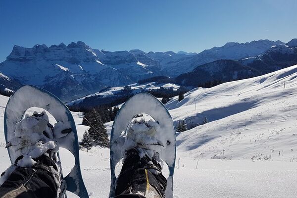
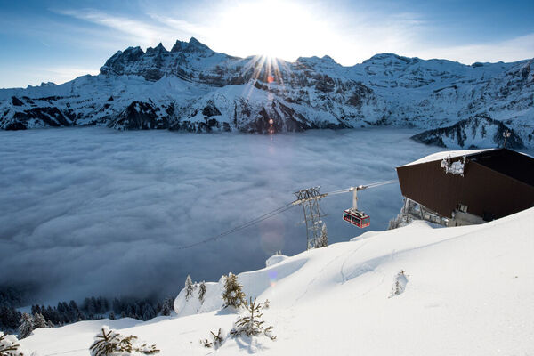
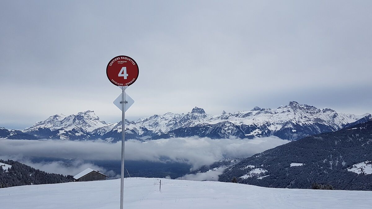
This spectacular loop trail offers a superb view of the Dents du Midi and the Vaud Alps beyond.
- Difficulty
-
medium
- Rating
-
- Starting point
-
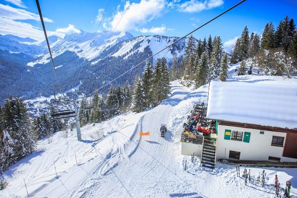
Morgins, at the bottom station of the chairlift La Foilleuse
- Route
-
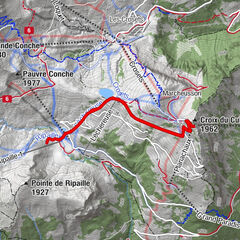
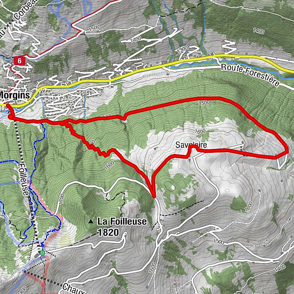
Morgins (1,333 m)Les Fontaines Blanches0.0 kmFoilleuse (1,269 m)0.0 kmSavolaire2.5 kmCabane de Savolaires2.5 kmFoilleuse (1,269 m)6.4 kmMorgins (1,333 m)6.4 kmLes Fontaines Blanches6.5 km
- Best season
-
AugSepOctNovDecJanFebMarAprMayJunJul
- Description
-
This snowshoe walk takes you to Savolaire, on the heights of Morgins village, at an altitude of 1650 metres. The loop will start on a forest path before arriving on the Savolaire plateau. Take a picnic break to admire the magnificent view of the Dents du Midi, the Vaud Alps and the Rhône plain.
- Directions
-
Starting at the bottom station of the Foilleuse chairlift, the trail passes next to the chalet called Kuhstall. Just past the chalet, take the large path on your left. Once you have passed under the chairlift, you’ll see the first snowshoe sign towards Savolaire.
Five hundred metres further up, you will come to a crossroads, turn right and head into the forest following the snowshoe signs towards Madzé. Once there, turn left towards Savolaire, which will take you to the Buvette de Savolaire (closed in winter). From here, head straight downhill following the signs for Morgins while enjoying the view. From Champarin to Morgins, follow the wide path to your starting point.
- Highest point
- 1,647 m
- Endpoint
-
Morgins, at the bottom station of the chairlift La Foilleuse
- Height profile
-
 © outdooractive.com
 - Equipment
-
We recommend:
Good, waterproof footwear Snowshoes hikingpoles clothing suitable for the weather: always carry a waterproof jacket hat or cap sunscreen bottle for water, picnic camera printout of this hike (click “Print” icon, top right, to download) - Safety instructions
-
Use of the trails and the information on this website is at hikers’ own risk. Local conditions may entail changes to routes. Valais/Wallis Promotion accepts no liability for the accuracy and completeness of information on this website.
Bring a map. Download full description of this route including large-scale map by clicking on “Print” icon, top right of this page.
Use marked trails only, and observe all signposting – for your own safety, to safeguard grazing animals and to avoid disturbing wildlife.
Please be considerate to other trail users, and to the plants and animals. Do not leaveanywaste in nature.
Take extra care protecting yourself from the sun at altitude. UV radiation can be exceptionally strong, even in cloudy weather.
Plan hike carefully: take into consideration fitness level of each participant, weather forecast and season.
Weather conditions can change quickly in the mountains, without warning. Appropriate clothing is therefore essential, along with adequate supplies of food and water. In uncertainweather, turn back in good time.
Do not venture onto glaciers without a mountain guide.
Take note of the warning signs that point out the constant danger, especially the danger of avalanches.
- Tips
-
The Dents du Midi Region provides you with a picnic bag to prepare a delicious fondue in an idyllic setting (upon reservation only).
- Additional information
-
APIDAE tourism data updated on 14/03/2023 by "Région Dents du Midi SA".
Spotted an error? Write to the owner with the following information:
File name: 17. Morgins - Savolaire | Record identifier: 5141594 | URL (link) for this Outdooractive page. - Directions
-
On the highway A9 Lausanne-Sion, exit St-Triphon. Follow "Pas-de-Morgins/Monthey", take the "Route de la Vallée" tunnel to Troistorrents. At the roundabout follow Morgins.
- Public transportation
-
Public-transport-friendly
From Aigle SBB station, take the AOMC train line towards Champéry, until you reach the "Collombey-Muraz" stop (on request). Cross the Etoile car park and take bus no. 61 from Collombey-village to Morgins-Poste.
Timetable on www.cff.ch or www.tpc.ch
- Parking
-
Parking in Morgins:
Place du 6 août (paid) or in the car park opposite the Hotel Helvetia (free).
-

-
AuthorThe tour Parcours Tour de Savolaire is used by outdooractive.com provided.


General info
-
Portes du Soleil
59
-
Région Dents du Midi
32
-
Morgins
18