

- Brief description
-
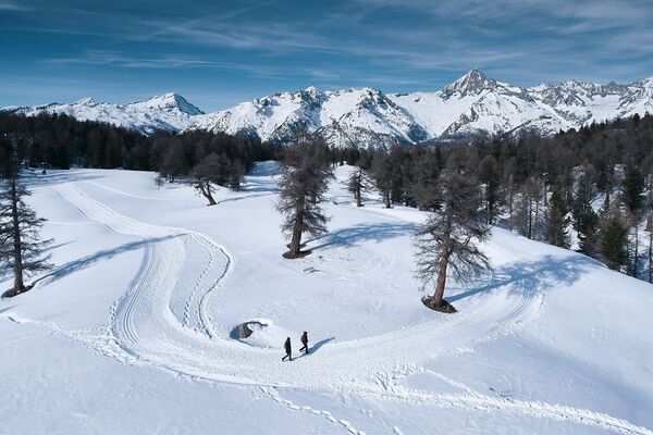
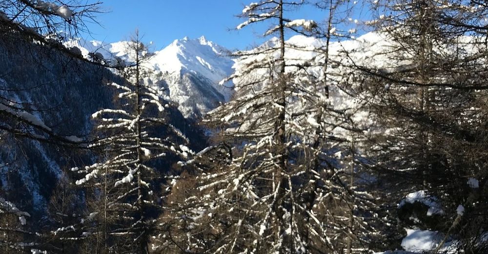
Enjoy the absolute tranquillity of nature high above the Vispertal valley on the Gspon Trail. The sunny plateau is the touristic heart of the municipality of Staldenried. Small yet beautiful, it offers spectacular views of the Valais mountain landscape.
- Difficulty
-
easy
- Rating
-
- Starting point
-
Gspon
- Route
-
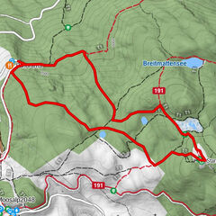
Gspon (1,899 m)0.0 kmZe Hischinu1.5 kmGspon3.4 kmAlpenblick3.4 km
- Best season
-
AugSepOctNovDecJanFebMarAprMayJunJul
- Description
-
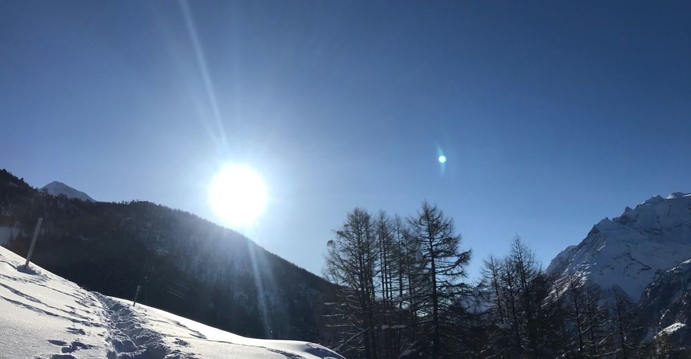
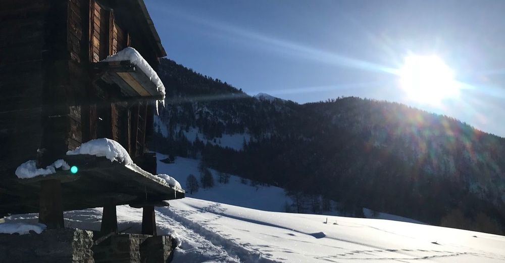
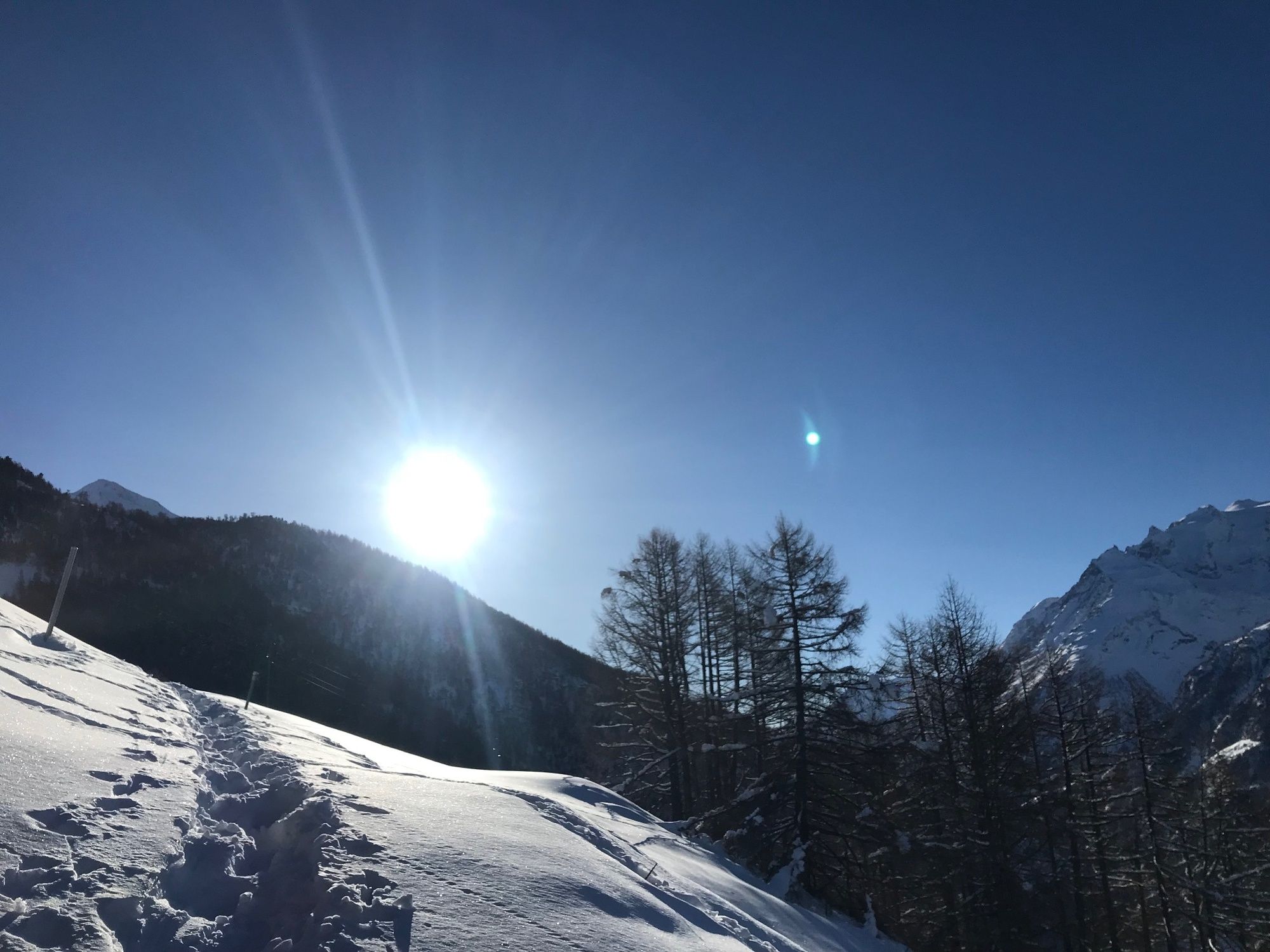
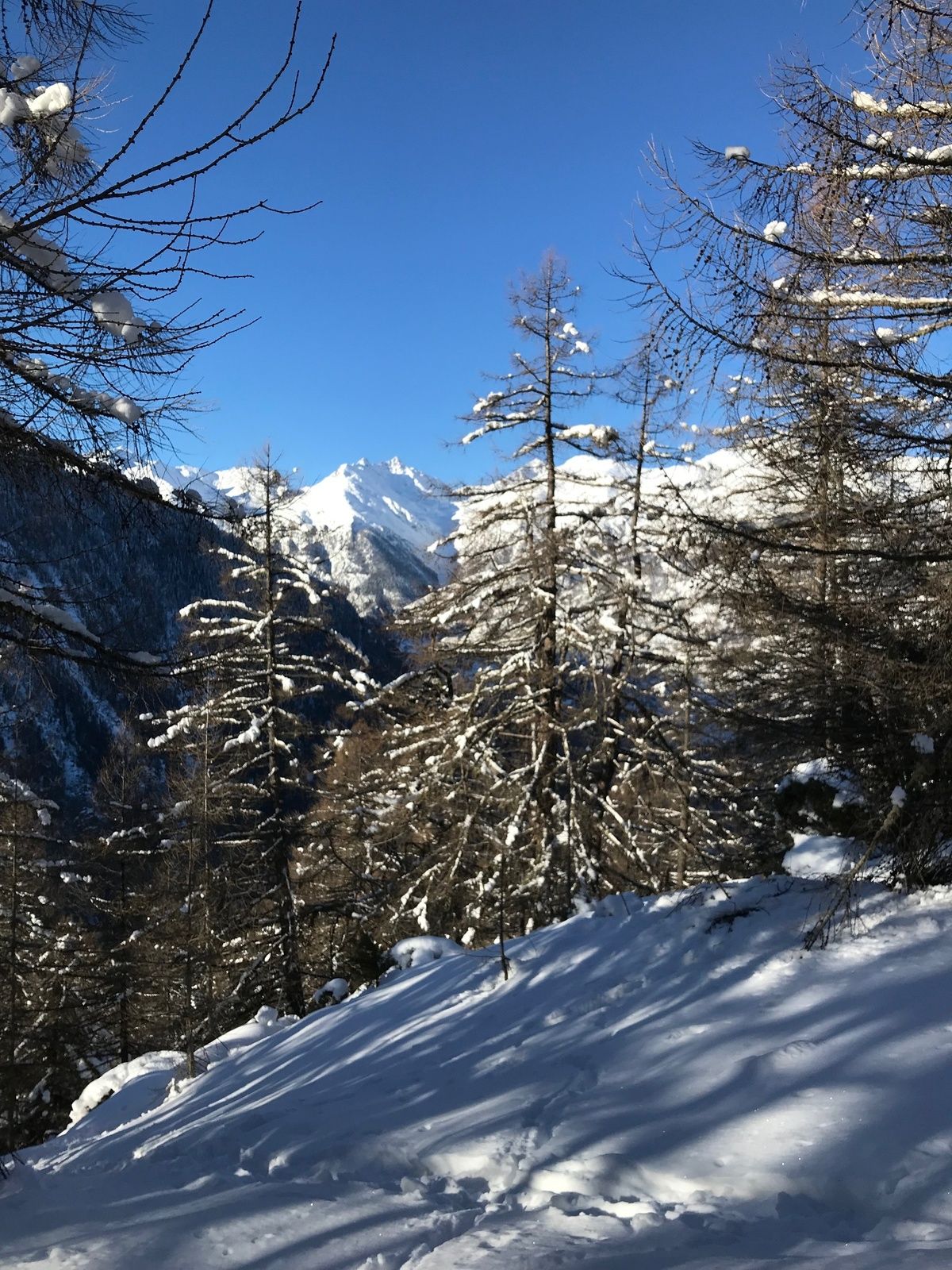
Car-free, Gspon is a small but popular holiday destination offering a hotel restaurant, village shop, holiday apartments and group accommodation. The region is a jewel, not least because of its picturesque Valais houses and storehouses, which lend it a special charm. Gspon is located in the region with the lowest rainfall rate in Switzerland, and it has the highest tree line in the Alps. Speaking of altitude: this little Valais hamlet is home to the highest football pitch in Europe, the Ottmar Hitzfeld Arena, which is also on the route of the Gspon Trail. The easy snowshoe hike at more than 2,000 metres in altitude leads around the alpine landscape of Gspon, which benefits from lots of mid-winter sunshine. You’ll be able to enjoy the magnificent view of the village and the surrounding four-thousand-metre peaks throughout most of the hike. The Gspon Trail makes a fun family snowshoe hike, as it’s perfect for children with experience on similar terrain.
- Directions
-
The starting point of the Gspon Trail is the mountain station of the Staldenried-Gspon cable car at 1,899 metres in altitude. From there, the 4.08km trail leads up to the Ottmar Hitzfeld Arena, below the valley station of the Gspon ski lift and via the hamlets of Summerhüs and Ze Hiischinu towards the high-altitude trail. From Grifolegga, the trail leads to Wierli lake under the canopy of the forest via a pleasant and well-maintained path. The last part of the trail towards Scheidbodo, Waldegga and back to the Ottmar Hitzfeld Arena makes for a diverse, pleasant tour in the snow.
- Highest point
- 1,980 m
- Endpoint
-
Gspon
- Height profile
-
 © outdooractive.com
 - Equipment
-
We recommend:
Good, waterproof footwear Snowshoes hiking poles clothing suitable for the weather: always carry a waterproof jacket hat or cap sunscreen bottle for water, picnic camera printout of this hike (click “Print” icon, top right, to download) - Safety instructions
-
Use of the snowshoe trails and the information on this website is at hikers’ own risk. Local conditions may entail changes to routes. Valais/Wallis Promotion accepts no liability for the accuracy and completeness of information on this website.
Bring a map. Download full description of this route including large-scale map by clicking on “Print” icon, top right of this page. Use marked trails only, and observe all signposting – for your own safety, to safeguard grazing animals and to avoid disturbing wildlife. Please be considerate to other trail users, and to the plants and animals. Do not leave any waste in nature. Take extra care protecting yourself from the sun at altitude. UV radiation can be exceptionally strong, even in cloudy weather. Plan hike carefully: take into consideration fitness level of each participant, weather forecast and season. Inform others of planned route, and whenever possible, avoid going alone. Weather conditions can change quickly in the mountains, without warning. Appropriate clothing is therefore essential, along with adequate supplies of food and water. In uncertain weather, turn back in good time. Do not venture onto glaciers without a mountain guide. Take note of the warning signs that point out the constant danger, especially the danger of avalanches. - Tips
-
Take a break at Wierli lake to enjoy the tranquillity and the exceptional alpine panorama.
Stop off at the Rondell après-ski bar on the way back and round out your snowshoe experience with a delicious Gspon coffee.
- Additional information
- Directions
-
Motorway A9 direction Visp. Main road direction Saas-Fee / Zermatt junction Staldenried.
- Public transportation
-
Accessible by train and bus. From Visp station to Staldenried and by cable car to Gspon.
- Parking
-
Parkings in Stalden or Staldenried.

- Author
-
The tour Gspon-Trail is used by outdooractive.com provided.


General info
-
Oberwallis
202
-
Rund um Visp
117
-
Staldenried - Gspon
35