
- Brief description
-
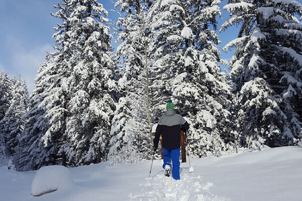
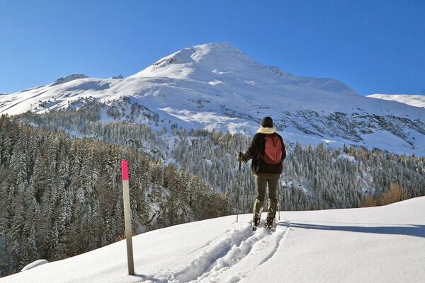
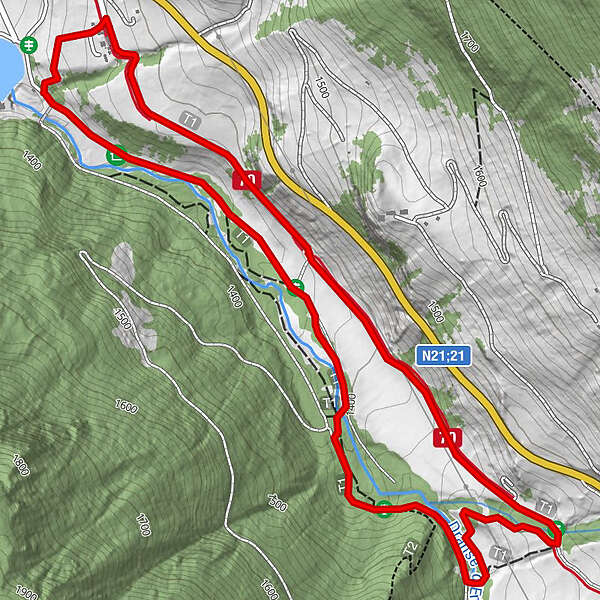
Easy path along the Dranse between Liddes and Bourg-St-Pierre
- Difficulty
-
easy
- Rating
-
- Starting point
-
Palazuit Power Plant
- Route
-
Palasuit3.7 km
- Best season
-
AugSepOctNovDecJanFebMarAprMayJunJul
- Description
-
This easy trail takes you south of Liddes from the Pallazuit hydroelectric power station along the edge of the forest alongside the River Dranse. It takes its name from the deer park next to the trail.
- Directions
-
Departure from the Palazuit power plant
Go south on the small path that runs along the right bank of the Dranse river until you reach the "Pont d'Allèves".
Stay on the path on the right bank and turn west. Return by the path crossing the meadow and the deer park.
- Highest point
- 1,460 m
- Endpoint
-
Palazuit Power Plant
- Height profile
-
 © outdooractive.com
 - Safety instructions
- Tips
-
Check the opening of the trail at saint-bernard.ch/fr/remontees-mecaniq...
- Directions
-
Exit the motorway at Martigny.
Follow the direction Grand-Saint-Bernard to Liddes.
- Public transportation
- Parking
-
Free parking at the power plant
- Author
-
The tour N.5 - Les Daims is used by outdooractive.com provided.
GPS Downloads


Other tours in the regions