
- Brief description
-
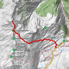
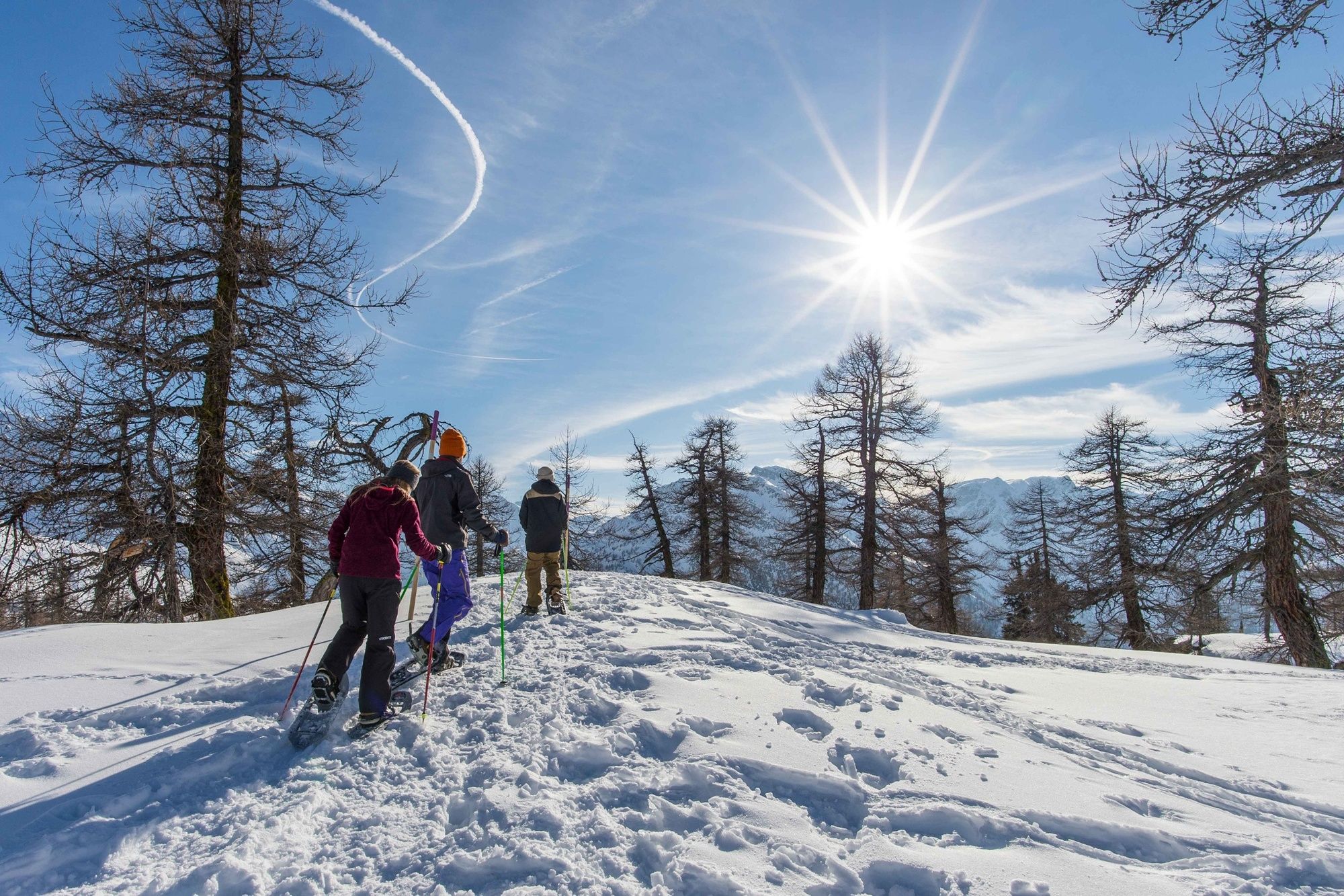
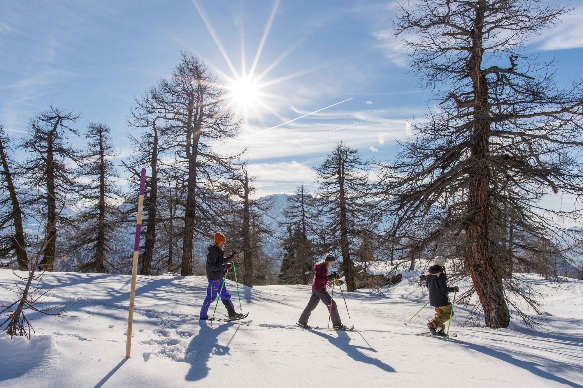
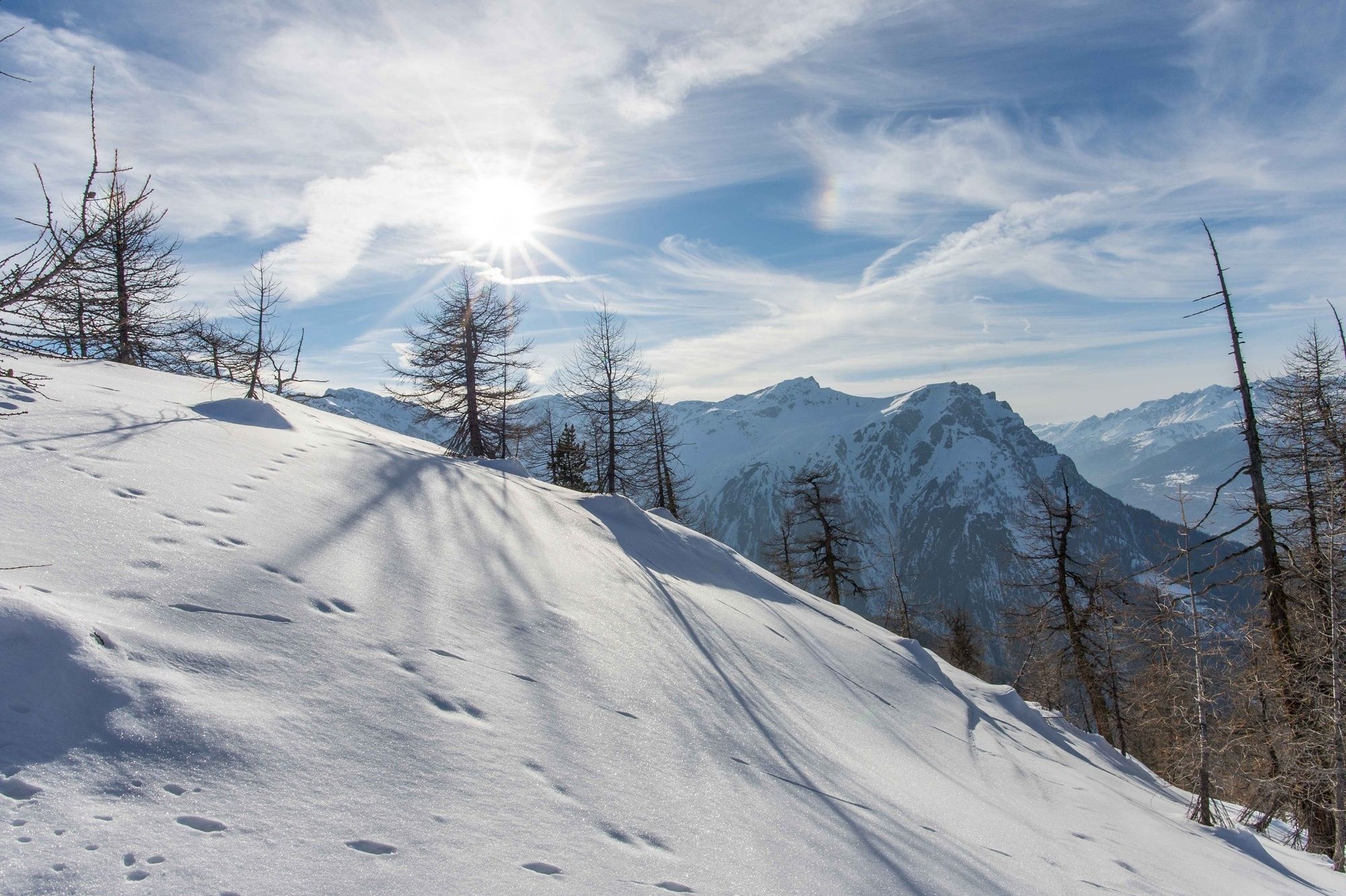
The Rothwald Trail is a snowshoe hike through the dreamlike winter landscape of the Brig-Simplon region on which snow-capped larch trees accompany you for much of the way.
- Difficulty
-
medium
- Rating
-
- Starting point
-
Post Rothwald
- Route
-
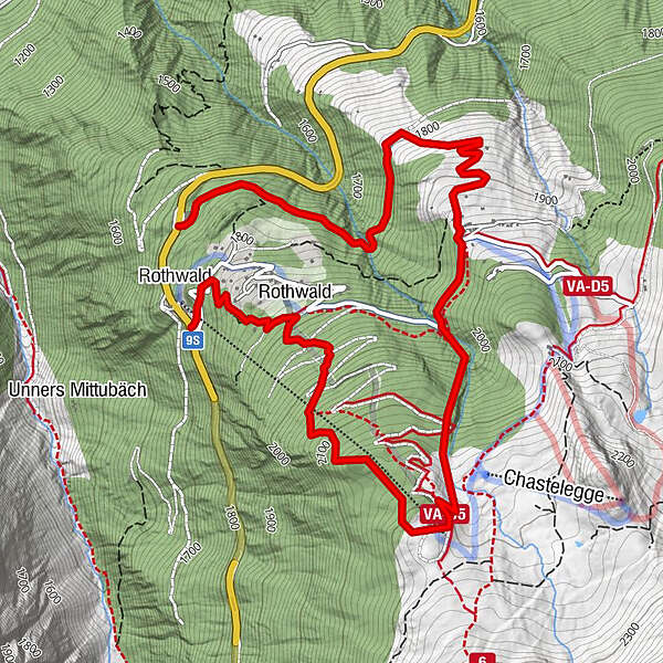
Rothwald0.1 kmRothwald0.7 kmMäderlicka2.2 kmKapelle Wasenalp3.7 kmWasenalp3.7 kmGanterwald6.2 km
- Best season
-
AugSepOctNovDecJanFebMarAprMayJunJul
- Description
-
For a small ski area, Rothwald am Brigerberg punches well above its weight. The region is an insider tip among winter-wonderland fans. You’ll see why soon after you start the Rothwald Trail: once you reach the valley station of the Rothwald ski lift, you head into the upper Rothwald, the highest larch forest in Europe, and the Jochtwald forest. With a little luck, you’ll be able to observe some of the native animals there without disturbing them. Once you’ve made the climb to the Mäderlicka panoramic restaurant, it’s worth taking a break to admire Valais’s powdery-white mountain landscape. You’ll be just as amazed by the Durstbachschlucht gorge, which is your next stop on the way down. Later on in the trail you’ll come to the Wasenalp mountain hut, which was completely renovated in 2008 and impresses with its modern infrastructure and abundance of cosiness and charm. You can treat yourself to a break here, too, and enjoy the wonderful view of the Valais and Bernese Alps, as well as the Rhône Valley.
- Directions
-
This 6.4km snowshoe route leads from the valley station of the Rothwald ski lift via a marked trail into the upper Rothwald forest, then up through the Jochtwald forest to the Mäderlicka panoramic restaurant. From there, you hike down into the imposing Durstbachschlucht gorge up to the Durstbachbrücke bridge. The trail then continues to the Wasenalp mountain hut down over “Hackber” to “Obru Egge”. You then follow a relatively flat path to Hotel Ganterwald and the bus stop. Alternatively, you can take the sidewalk of the national road back to the departure point.
- Highest point
- 2,214 m
- Endpoint
-
Rothwald Ganterwald
- Height profile
-
 © outdooractive.com
 - Equipment
-
We recommend:
Good, waterproof footwear Snowshoes hiking poles clothing suitable for the weather: always carry a waterproof jacket hat or cap sunscreen bottle for water, picnic camera printout of this hike (click “Print” icon, top right, to download) - Safety instructions
-
Use of the snowshoe trails and the information on this website is at hikers’ own risk. Local conditions may entail changes to routes. Valais/Wallis Promotion accepts no liability for the accuracy and completeness of information on this website.
Bring a map. Download full description of this route including large-scale map by clicking on “Print” icon, top right of this page. Use marked trails only, and observe all signposting – for your own safety, to safeguard grazing animals and to avoid disturbing wildlife. Please be considerate to other trail users, and to the plants and animals. Do not leave any waste in nature. Take extra care protecting yourself from the sun at altitude. UV radiation can be exceptionally strong, even in cloudy weather. Plan hike carefully: take into consideration fitness level of each participant, weather forecast and season. Inform others of planned route, and whenever possible, avoid going alone. Weather conditions can change quickly in the mountains, without warning. Appropriate clothing is therefore essential, along with adequate supplies of food and water. In uncertain weather, turn back in good time. Do not venture onto glaciers without a mountain guide. Take note of the warning signs that point out the constant danger, especially the danger of avalanches. - Tips
-
Hotel Ganterwald, Schutzhaus Napoleon, the Wasenalp mountain hut and Mäderlicka restaurant: all these places offer the chance to grab a bite and enjoy the view, which sometimes stretches as far as Italy. By the way: ambitious sports fans can also tackle the Rothwald Trail in the opposite direction; the climb through the gorge is a real test of physical fitness.
- Additional information
- Directions
-
Motorway A9 direction Brig. Halfway between Brig and the Simplon is the Rothwald.
- Public transportation
-
Accessible by train and bus. Form Brig train station, take the bus to Rothwald, Ganterwald
- Parking
-
There are enough free parking spaces available at the Rothwald valley station.
- Author
-
The tour Rothwald Trail is used by outdooractive.com provided.
General info
-
Aletsch Arena
131
-
Brig Simplon
71
-
Rosswald
34