- Brief description
-
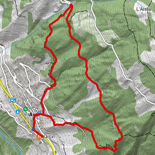
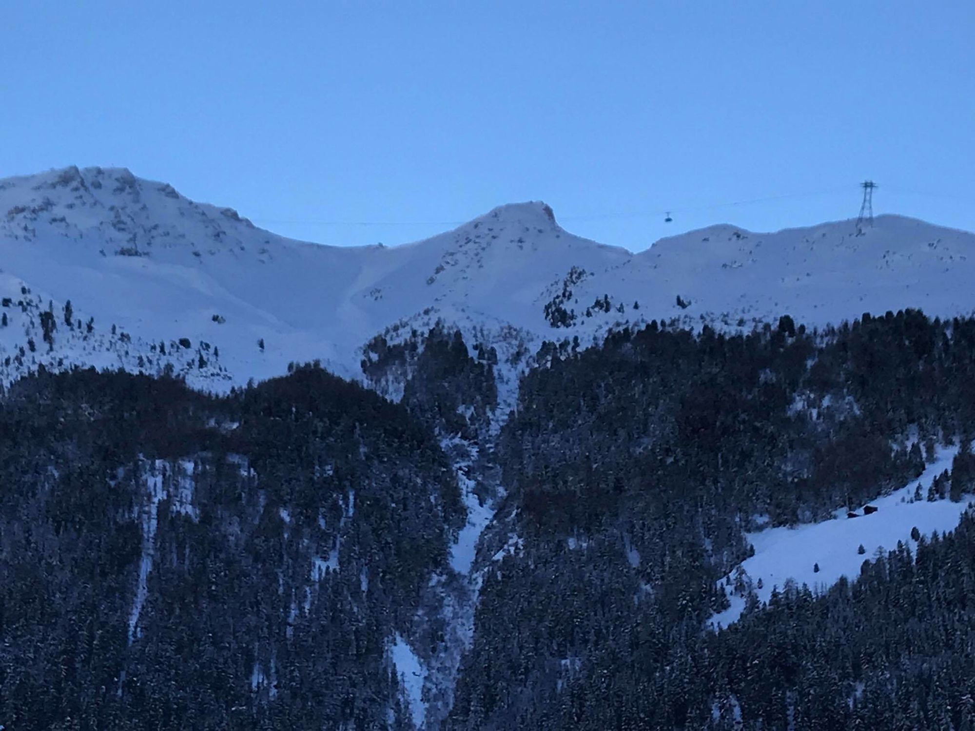
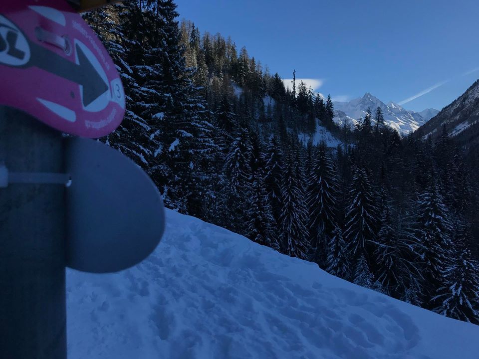
You’ll be sure to get away from it all in the heart of the Zau Zoura forest!
- Difficulty
-
medium
- Rating
-
- Starting point
-
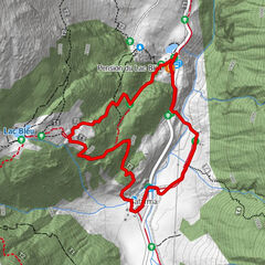
Ayer bus stop near the Qi-Lin Hotel
- Route
-
Qi-Lin0.0 kmAyer (1,476 m)4.0 kmQi-Lin4.2 km
- Best season
-
AugSepOctNovDecJanFebMarAprMayJunJul
- Description
-
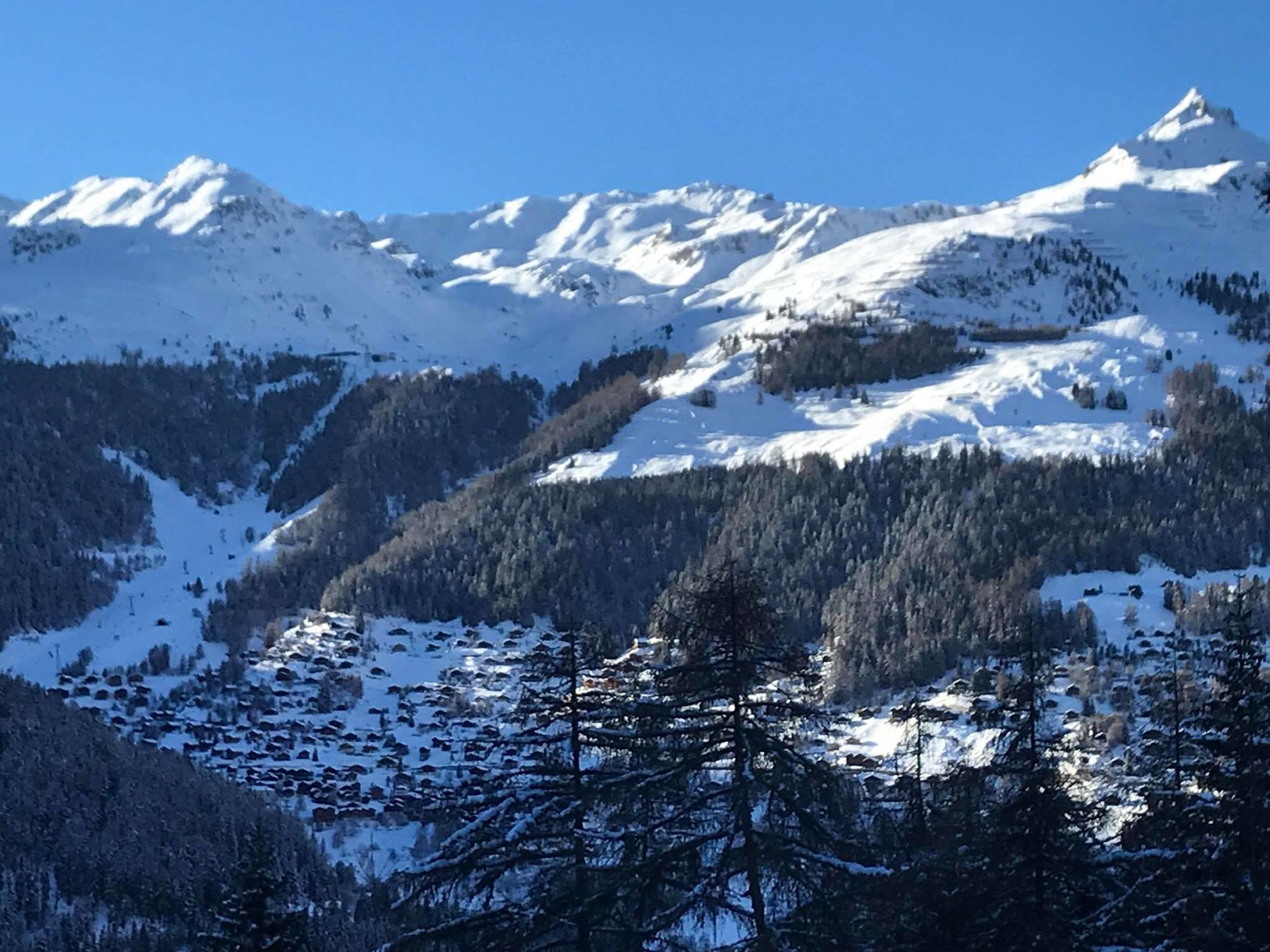
During this loop, overlooking Ayer village,You will discover a beautiful sylvan scenery replete with sumptuous spruce, larch and cembra forests.
- Directions
-
Take the small Petit Chêne street to the square above the church. Cross the square and follow the signs to the uppermost point of the village. The path then leads to a forest road. Prendre à droite et continuer jusqu'au bout de cette route, puis emprunter le chemin qui part sur la droite pour rejoindre le village d'Ayer
- Highest point
- 1,809 m
- Endpoint
-
Ayer bus stop near the Qi-Lin Hotel
- Height profile
-
 © outdooractive.com
 - Equipment
-
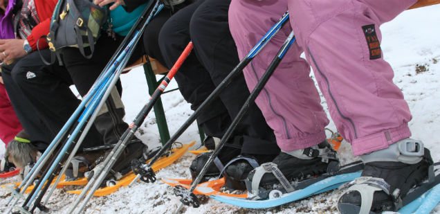
Good, waterproof footwear
Snowshoes
Hiking poles
Warm winter clothing appropriate for the weather - Safety instructions
-
Tourist Offices cannot be held responsible in the case of accidents. For your safety, check the weather and snow conditions before setting out on these trails. Observe the signs and prohibitions (piste closures and risk of avalanche). If you are not suf ficiently knowledgeable to choose your trail according to your ability, you are strongly advised to hire a professional guide.
- Tips
-
- Additional information
-
This 4h hike reveals the ecosystem between the village and the mid-alpine pasture as well as the integration of human beings into this environment over time .

- Author
-
The tour Ayer : Sentier Zau Zoura n°3 is used by outdooractive.com provided.


General info
-
Oberwallis
186
-
Sierre Anniviers
63
-
Grimentz / St-Jean
27