
- Brief description
-
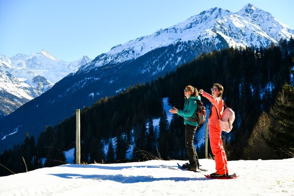
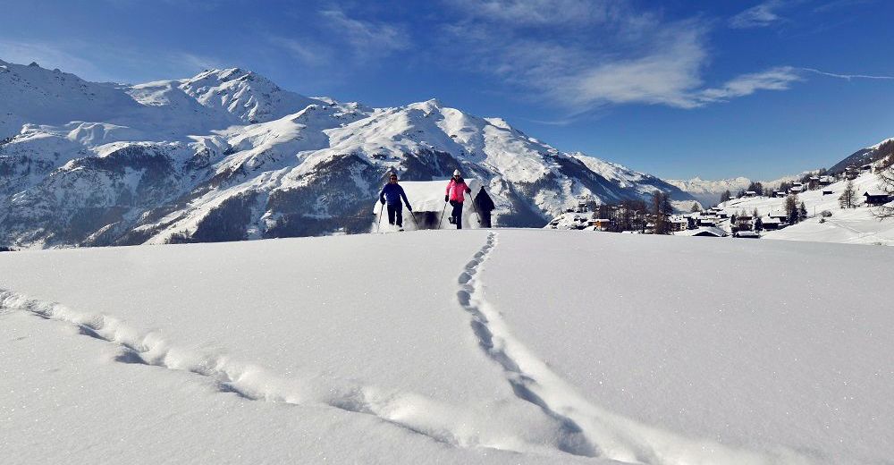
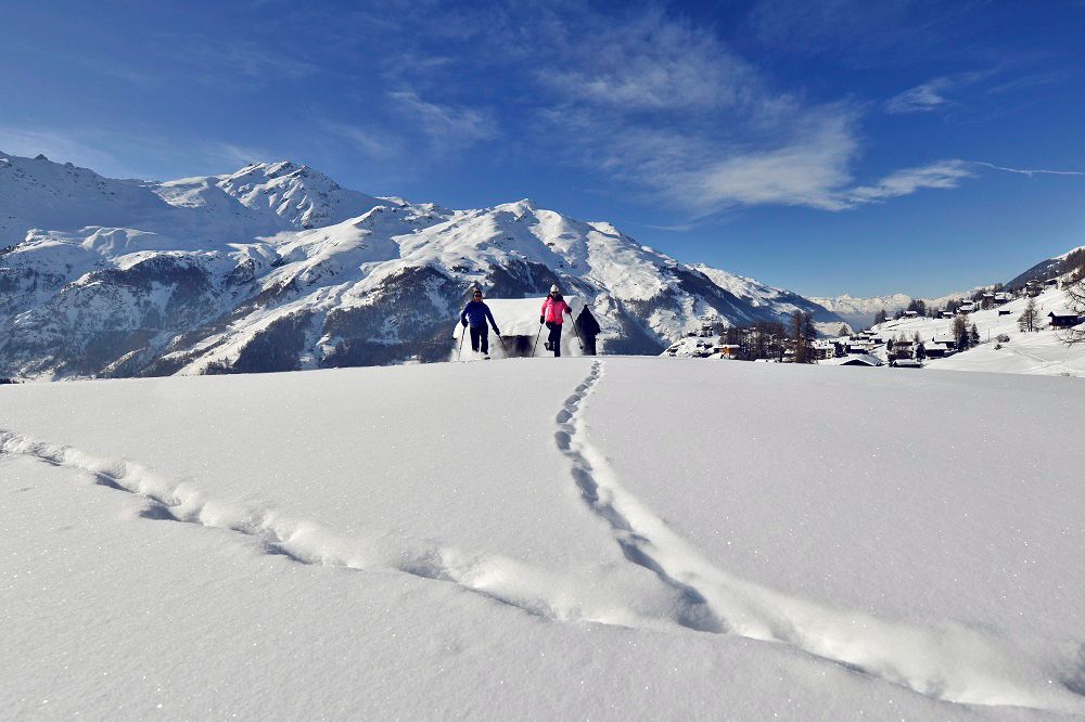
High snowshoe walk in the upper Val d’Hérens revealing glorious views of the glaciers and mountains that frame the emblematic Dent Blanche.
- Difficulty
-
medium
- Rating
-
- Starting point
-
La Forclaz
- Route
-
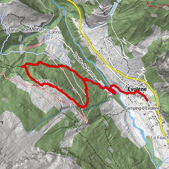
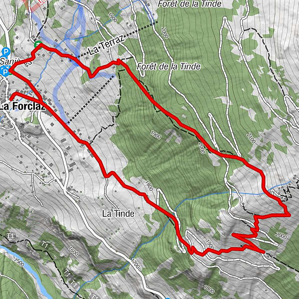
Place de Son La Forclaz0.0 kmLa Forclaz0.1 kmLa Tinde0.8 kmPlace de Son La Forclaz3.8 km
- Best season
-
AugSepOctNovDecJanFebMarAprMayJunJul
- Description
-
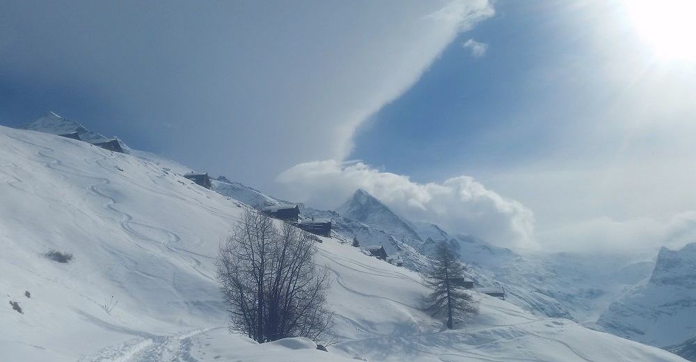
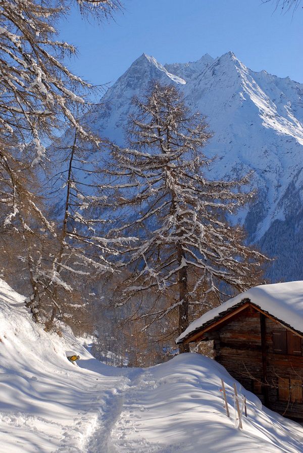
The panoramic walk starts high and aims high, promising fresh mountain air, an invigorating workout and thrilling views. It begins at an altitude of 1,725 metres in the village of La Forclaz, perched on a sunny plateau 300 vertical metres above the floor of the Val d’Hérens.
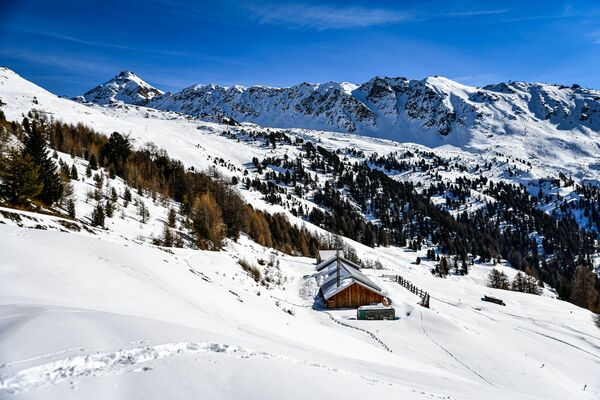
From here, the loop leads up the easternmost of the two valleys that converge way below. After a gentle ascent across open terrain, the trail climbs more steeply to reach the snow-covered pastures of Mayens de Bréona – at 2,087 metres, the highest point of the walk.
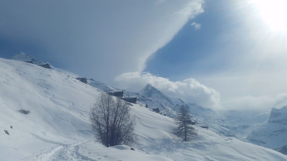
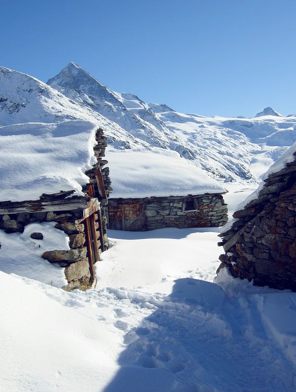
The grandstand view up the valley, towards a crown of dramatic pinnacles festooned with sparkling glaciers, is breathtaking. The valley, dominated by the Dent Blanche (4,357 m), is one of the wildest in the region, promising an experience of blissful tranquillity.
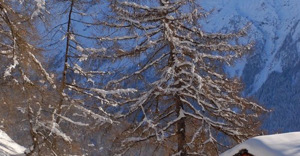
The trail then leads back down the valley at higher level, passing through fragrant pine forest before descending across white snowfields back to La Forclaz.
- Directions
-
The circular trail leads in an anticlockwise direction from La Forclaz. The first section is roughly level, heading south-east past the ski lift and the last buildings of the village before beginning to climb more steeply. A series of short zig-zags leads to the Mayens de Bréona, the highest point of the climb. The trail then turns north-west for the descent back down the valley: initially through forest and later across open terrain back to La Forclaz.
- Highest point
- 2,067 m
- Endpoint
-
La Forclaz
- Height profile
-
 © outdooractive.com
 - Equipment
-
We recommend:
good footwear & snowshoes clothing suitable for the weather: always carry a waterproof jacket hat or cap sunscreen bottle for water, picnic camera hiking poles (optional) printout of this hike (click “Print” icon, top right, to download) - Safety instructions
-
Use of the trails and the information on this website is at hikers’ own risk. Local conditions may entail changes to routes. Valais/Wallis Promotion accepts no liability for the accuracy and completeness of information on this website.
Bring a map. Download full description of this route including large-scale map by clicking on “Print” icon, top right of this page. Use marked trails only, and observe all signposting – for your own safety, to safeguard grazing animals and to avoid disturbing wildlife. Please be considerate to other trail users, and to the plants and animals. Do not leave any waste in nature. Take extra care protecting yourself from the sun at altitude. UV radiation can be exceptionally strong, even in cloudy weather. Plan hike carefully: take into consideration fitness level of each participant, weather forecast and season. Weather conditions can change quickly in the mountains, without warning. Appropriate clothing is therefore essential, along with adequate supplies of food and water. In uncertain weather, turn back in good time. Do not venture onto glaciers without a mountain guide. Take note of the warning signs that point out the constant danger, especially the danger of avalanches. - Tips
-
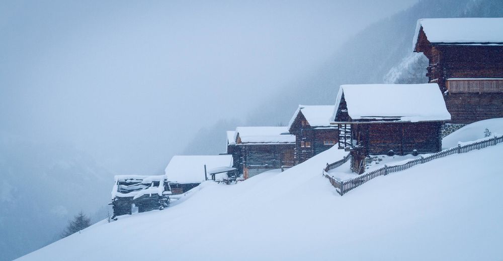
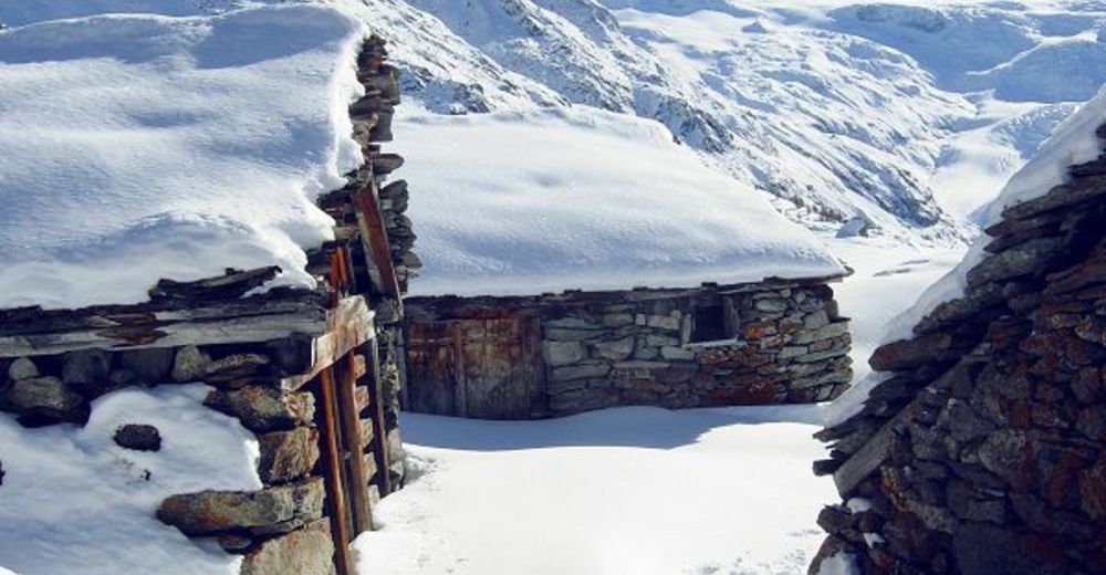
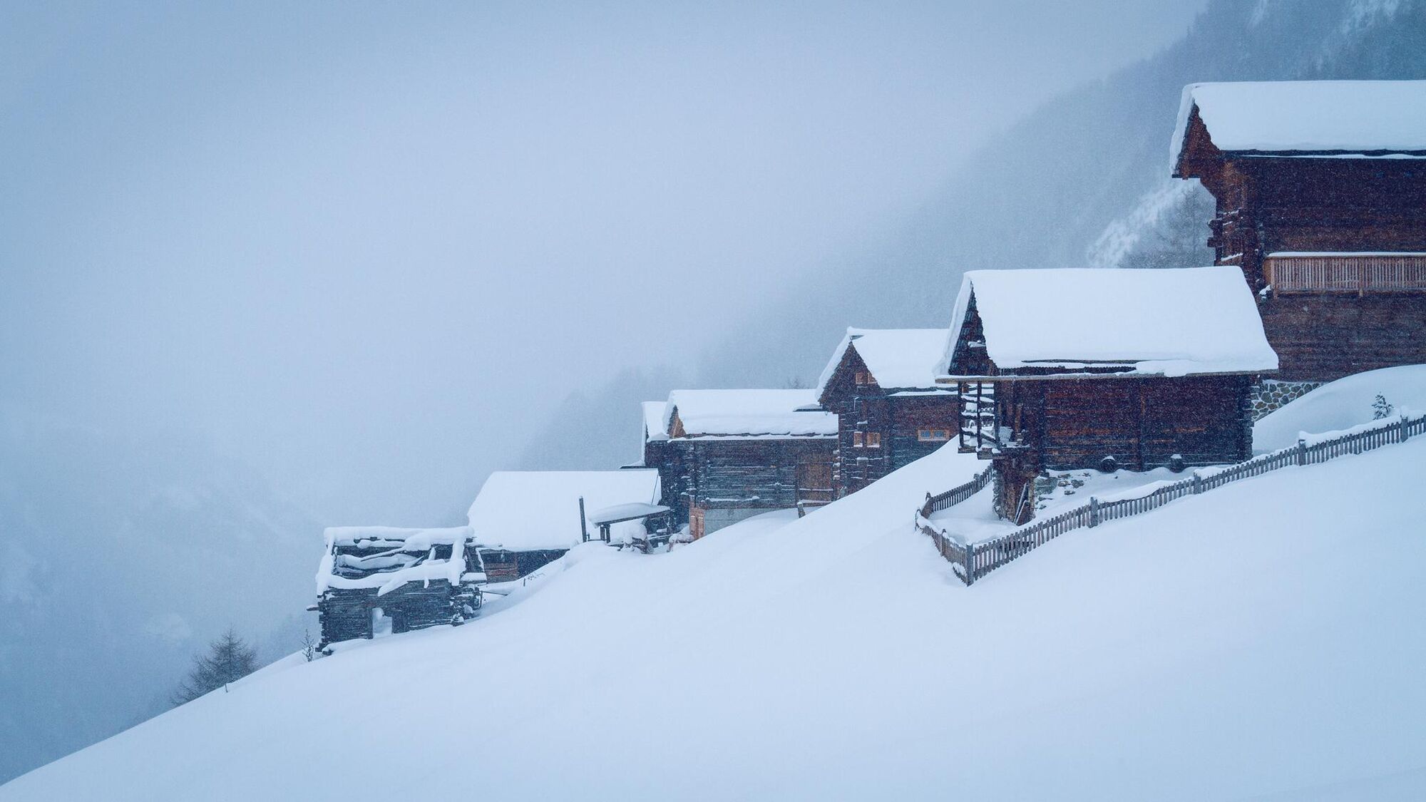
Take time after the walk to stroll around the well-preserved village of La Forclaz, with its ancient wooden chalets and barns.
- Additional information
- Directions
-
A9 motorway, exit 27 (Sion-Est), follow signs for Evolène / Les Haudères / La Forclaz.
- Public transportation
-
Train to Sion, then postal bus to La Forclaz (change at Les Haudères). Find full timetable information at sbb.ch.
- Parking
-
Public parkings available in La Forclaz. Follow the local car park routeing.
-

-
AuthorThe tour Snowshoeing trail from La Forclaz to the Mayens de Bréona is used by outdooractive.com provided.


General info
-
Unterwallis
86
-
Evolène
50
-
Arolla
6