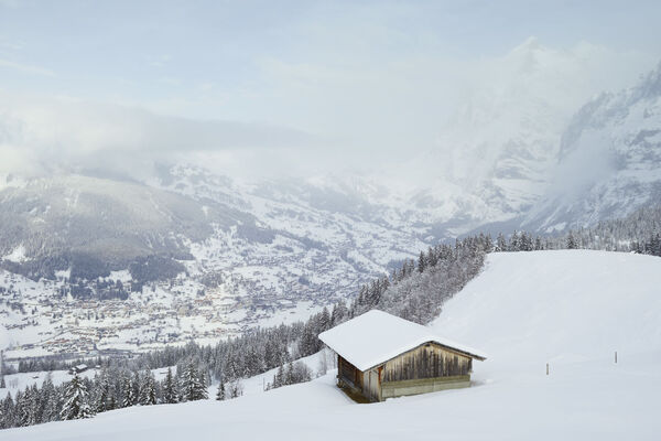

- Brief description
-
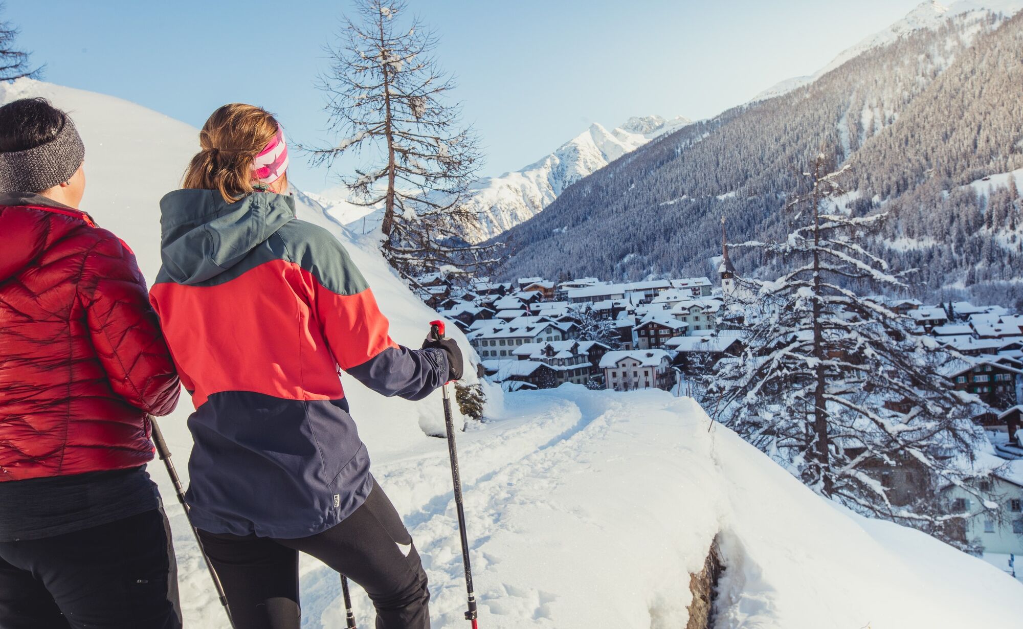
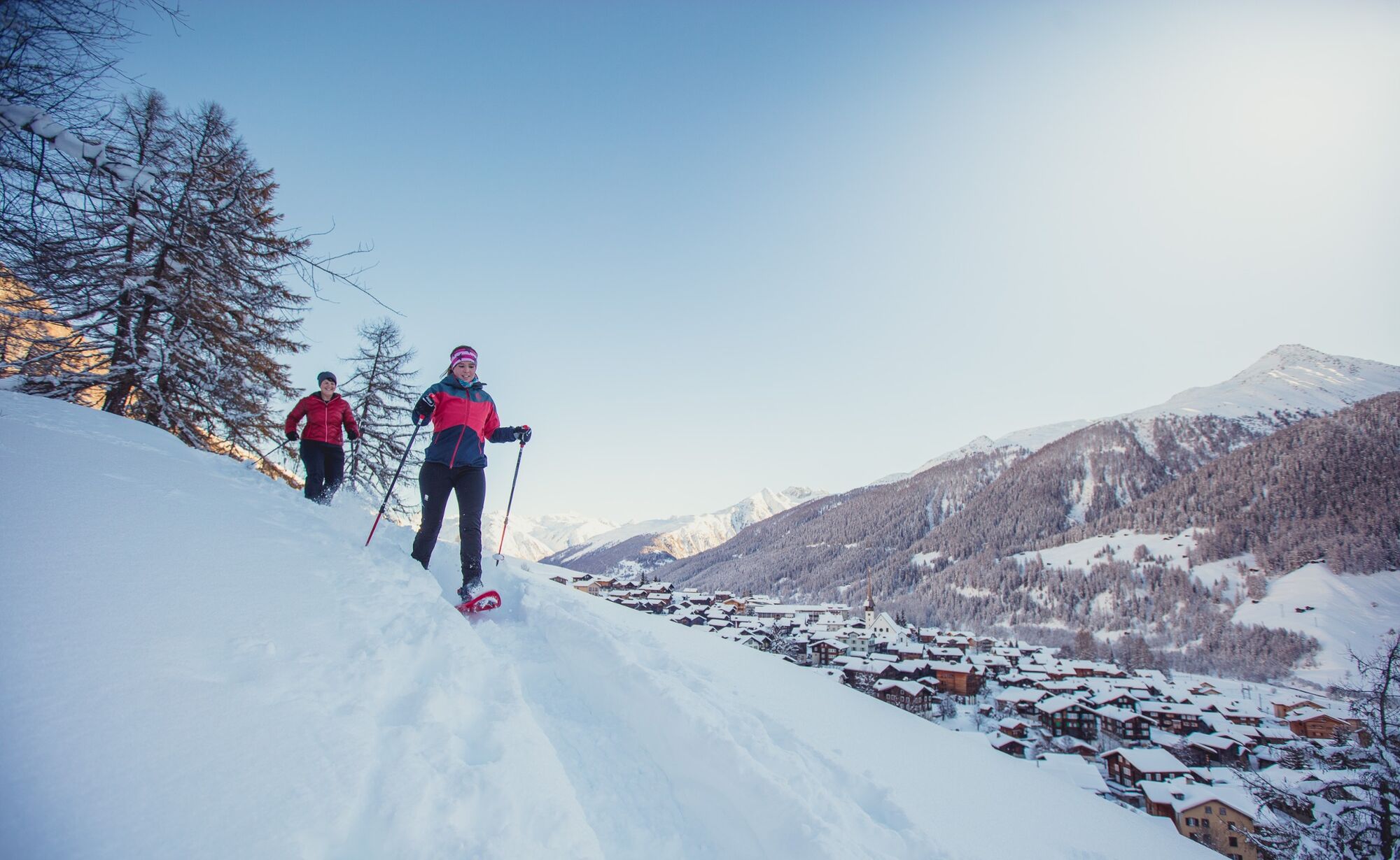
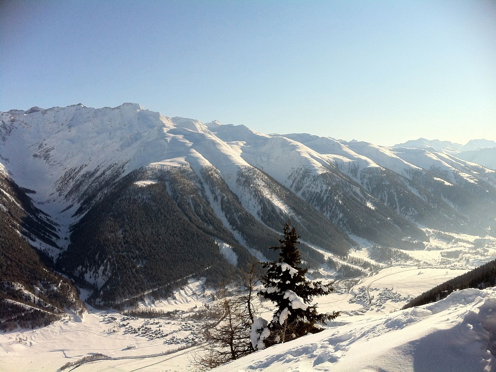
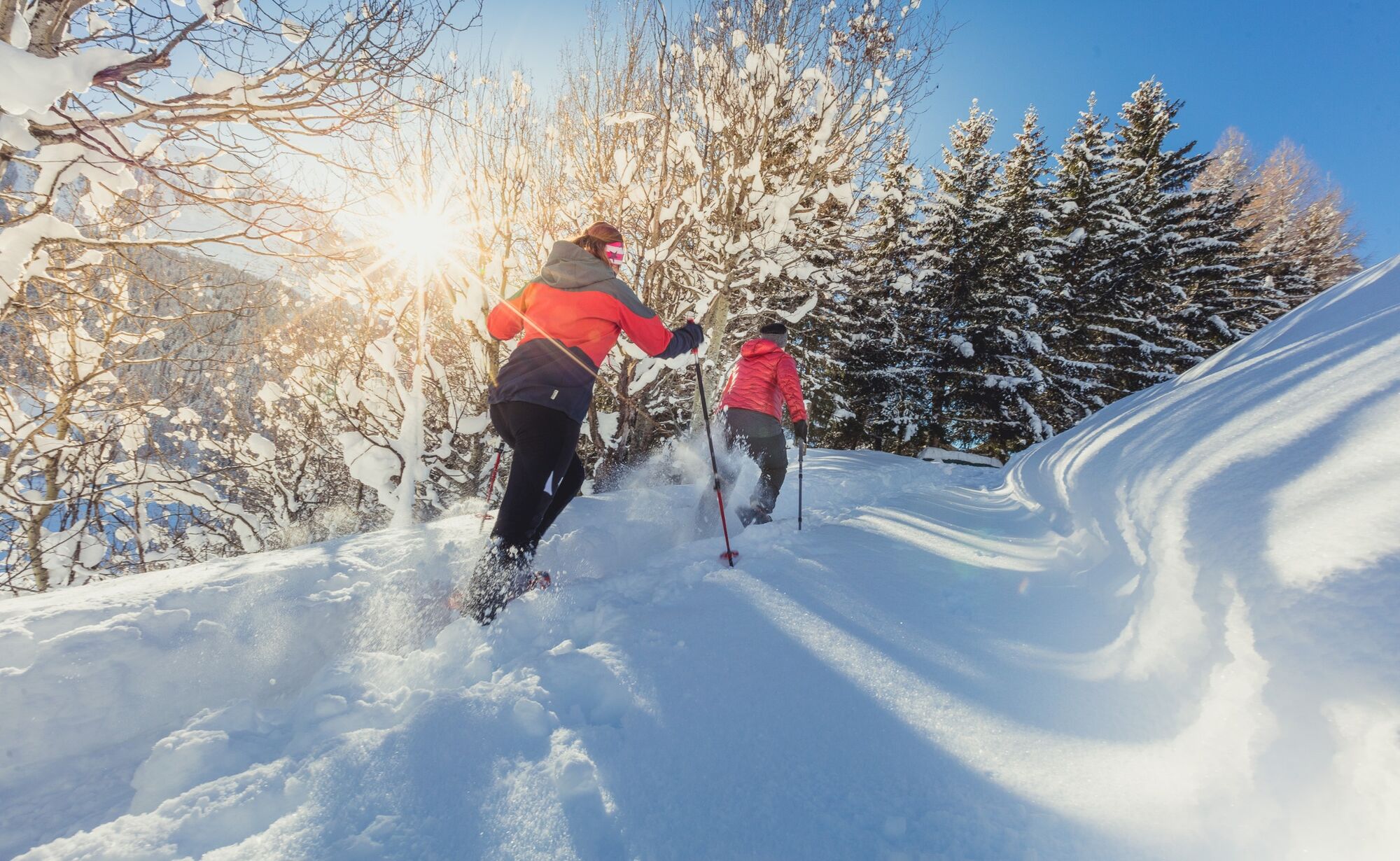
In pointed zigzag and constant slope, the snowshoe trail leads through the protective mountain forest to Galmihornhütte
- Difficulty
-
medium
- Rating
-
- Starting point
-
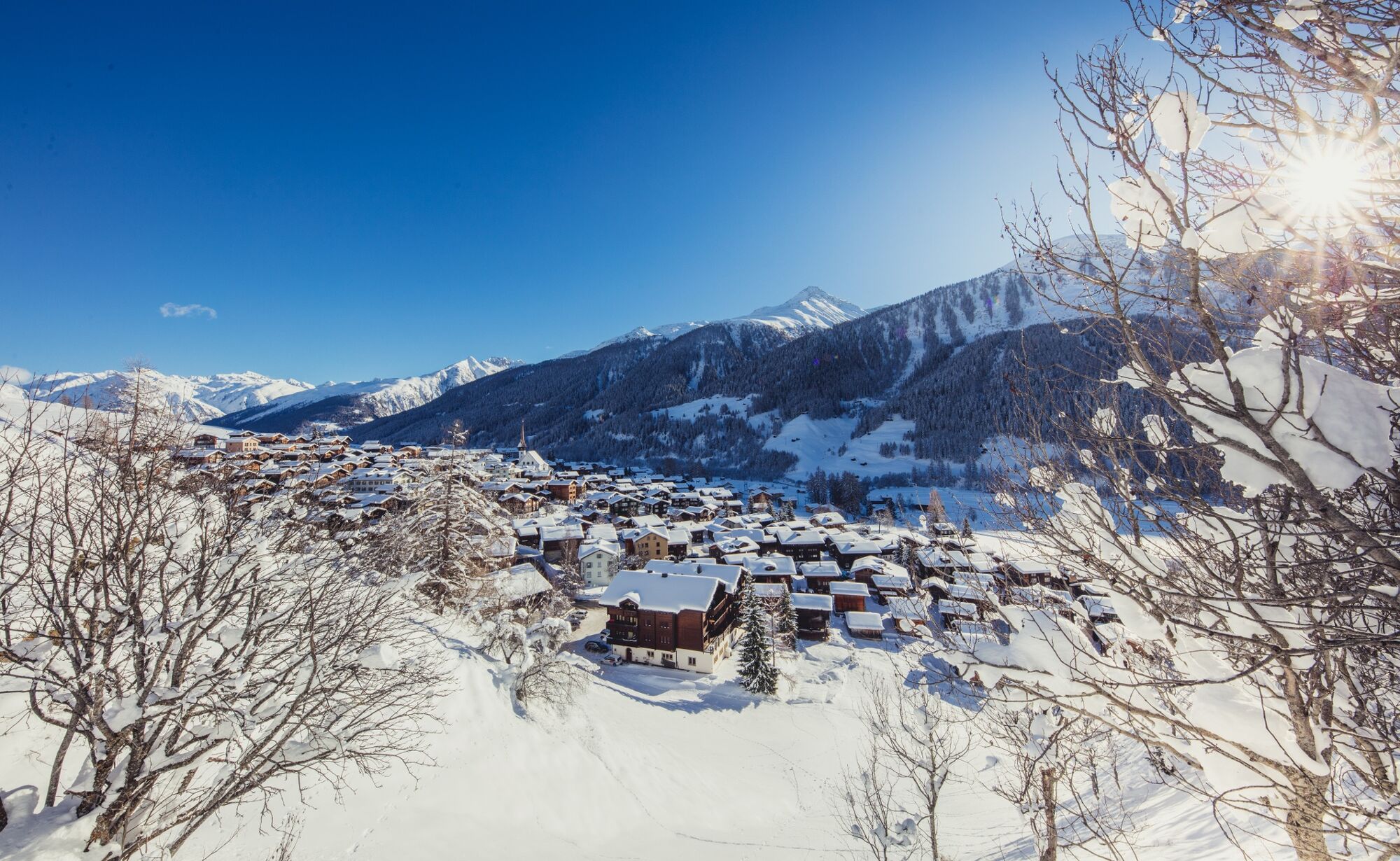
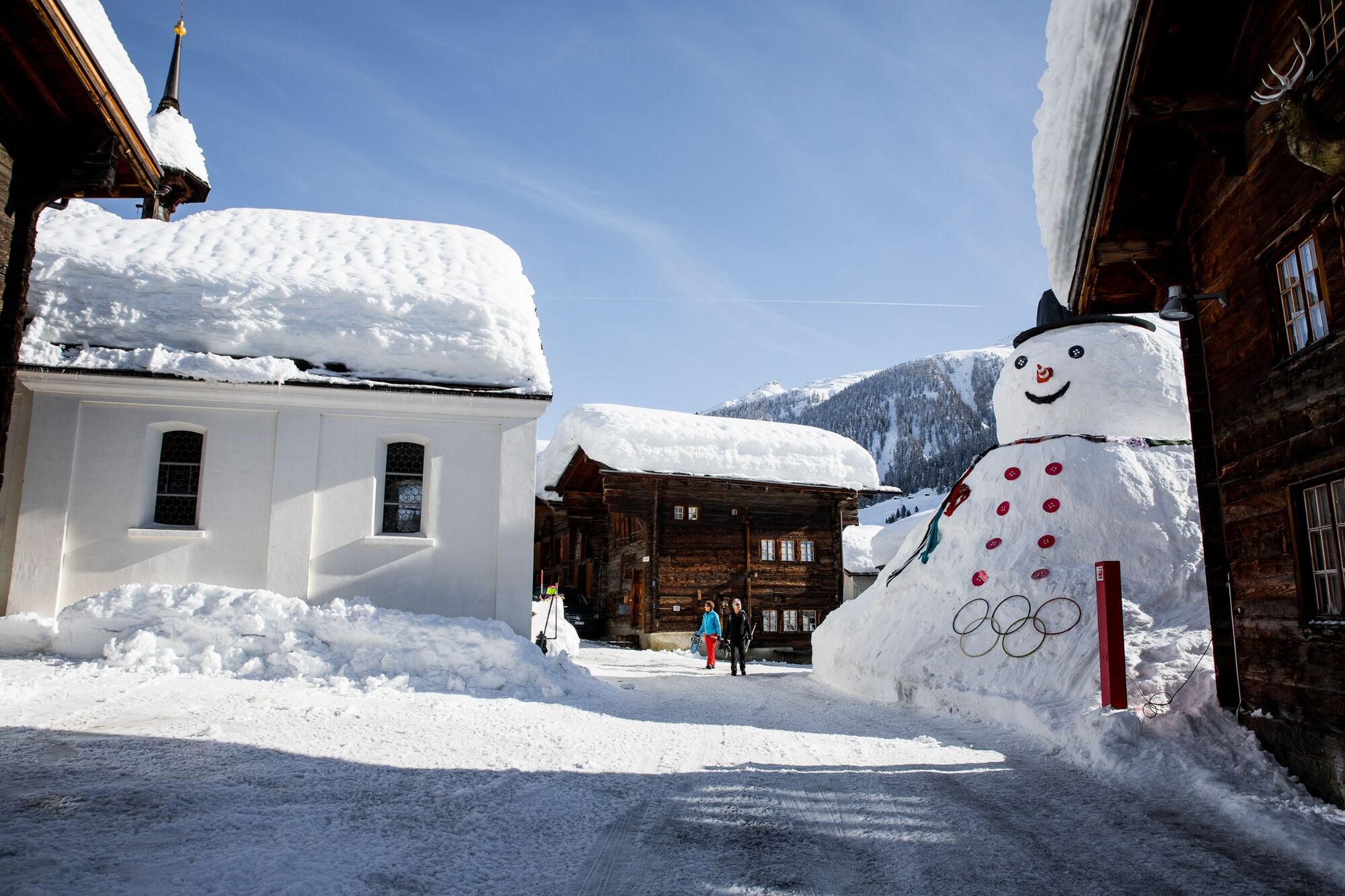
Münster, Village
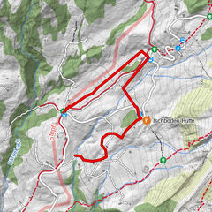
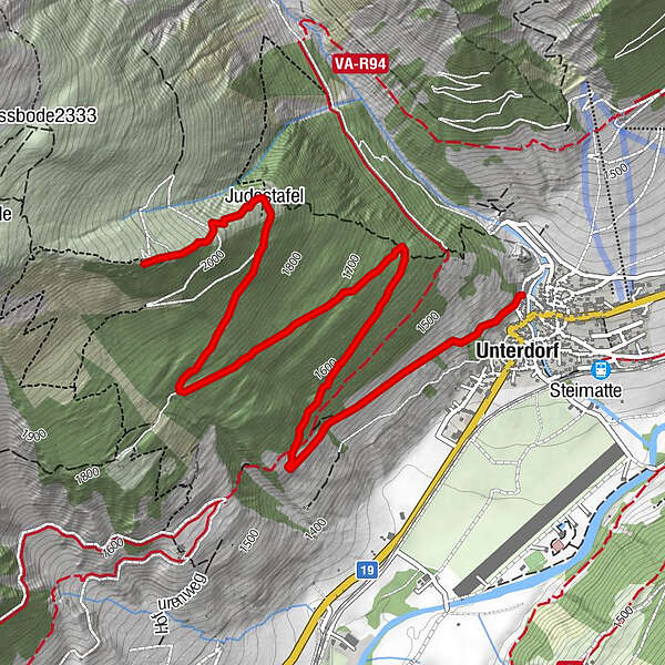
- Route
-
Münster (1,370 m)0.1 kmUnterdorf0.1 kmRisegge0.2 kmJudestafel4.1 kmGalmihornhütte (2,113 m)4.7 km
- Best season
-
AugSepOctNovDecJanFebMarAprMayJunJul
- Description
-
In pointed zigzag and constant slope, the snowshoe trail leads through the protective mountain forest to Galmihornhütte, the appreciated 360 ° panoramic sundeck of Münster. The view over the surrounding white mountain peaks is breathtakingly beautiful! From here you look not only to the numerous villages of the Rhone valley, but also on the distant worries of everyday life.
See also
Obergoms Tourismus AG
Furkastrasse 617
3985 Münster
Tel.: +41 (0)27 974 68 68
E-Mail: tourismus@goms.ch
Internet: www.goms.ch
www.goms.ch/en/winter-sports-report - Directions
-
Münster - Göuchete - Bawald - Galmihornhütte
- Highest point
- 2,101 m
- Endpoint
-
Galmihornhütte
- Height profile
-
 © outdooractive.com
 - Equipment
-
We recommend:
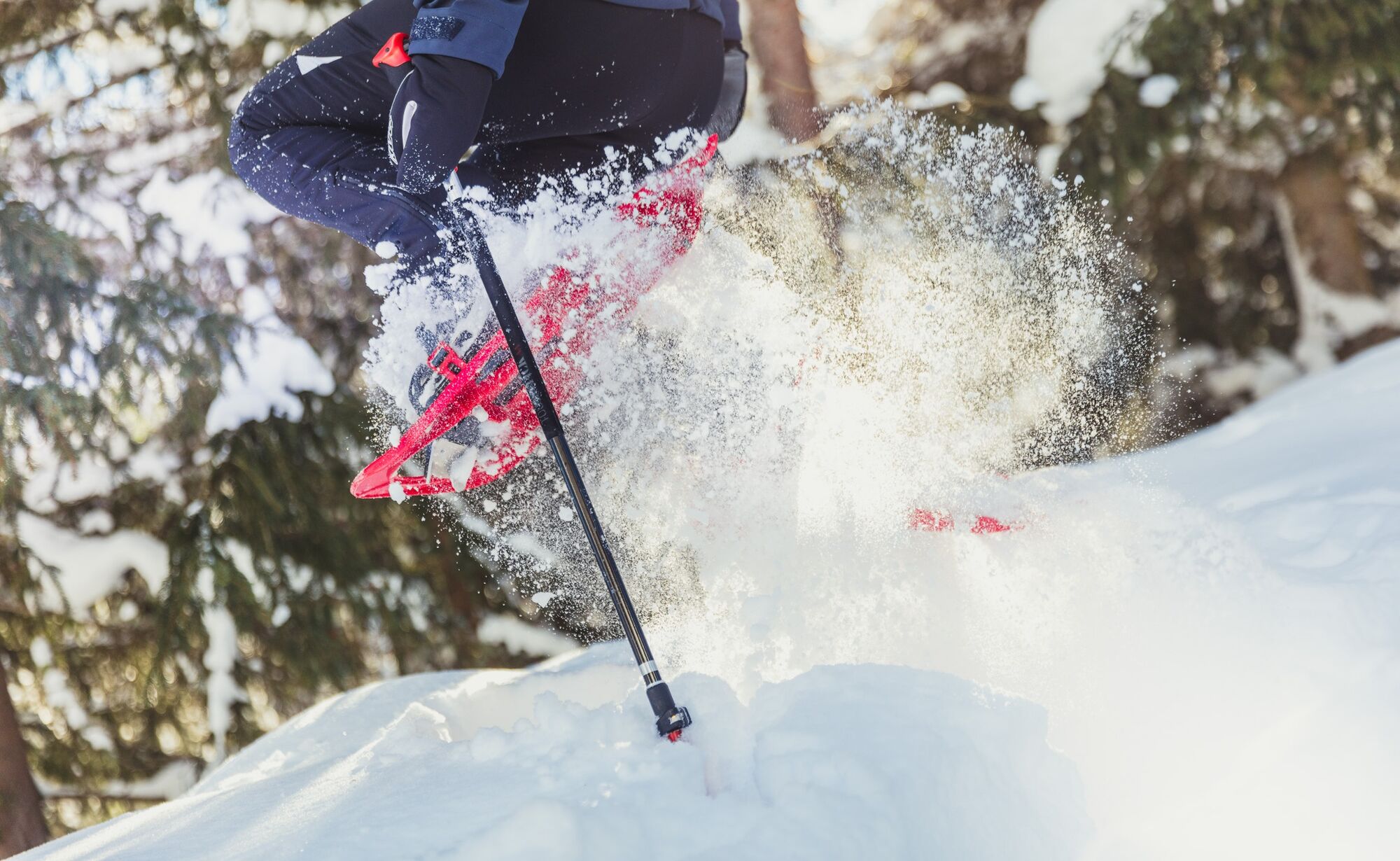
Good footwear and walking sticks
Sun and rain protection and warm clothing
Detailed map or information material with good tour preparation
Provisions for your day in the great outdoors
Pocket pharmacy and mobile phone for emergencies - Safety instructions
-
The use of the winter hiking trails is at your own risk. Obergoms Tourismus AG disclaims all liability and assumes no responsibility for the accuracy and completeness of the information on this website.
Take a map with you or download the complete description of the route with a large-scale map. Use only signposted paths and observe all markings and signs - for your own safety, for the protection of the landscape and in respect for wildlife. Be considerate of other users. Take your rubbish and that of others with you.
Weather conditions in the mountains can change very quickly and without warning. Adequate clothing and provisions (food and drink) are very important. If the weather is unstable, it is better to turn around early. Carry additional sun protection with you. UV rays at high altitudes can be very strong, especially in winter, even when the sky is overcast.
Plan your tour carefully and in detail. Inform yourself in advance about the current conditions (avalanche danger, cross-country ski runs, winter hiking trails, snow trails and road conditions) and weather conditions. The winter sports report provides you with valuable information from the region.
- Tips
-
In winter you can stay overnight in the Galmihorn hut as a self-caterer.
- Additional information
- Directions
- Public transportation
- Parking
-
Public parking spaces are available in the vicinity of the railway station or in the village of Münster. Follow the local parking guidance system.
- Author
-
The tour Galmihornhütte Trail is used by outdooractive.com provided.


General info
-
Aletsch Arena
131
-
Goms
52
-
Bellwald
13