


- Brief description
-
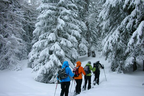
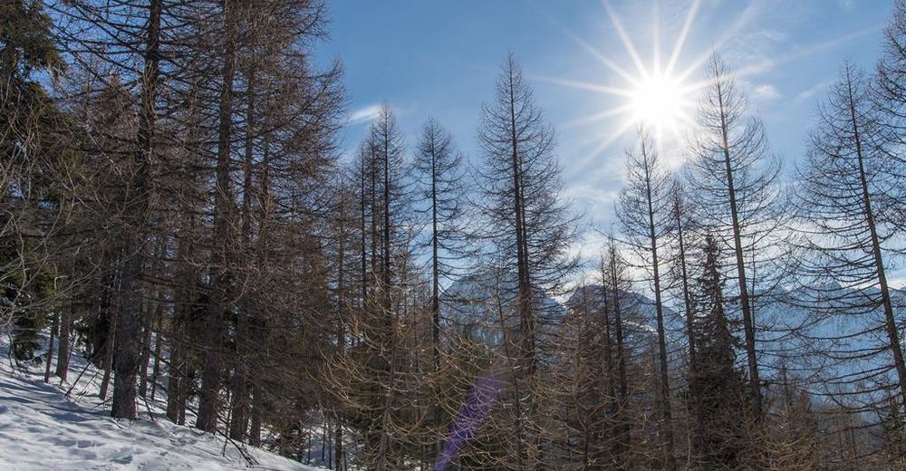
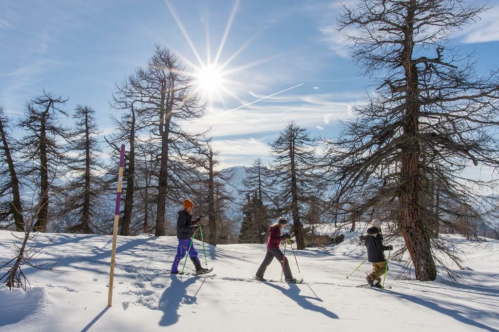
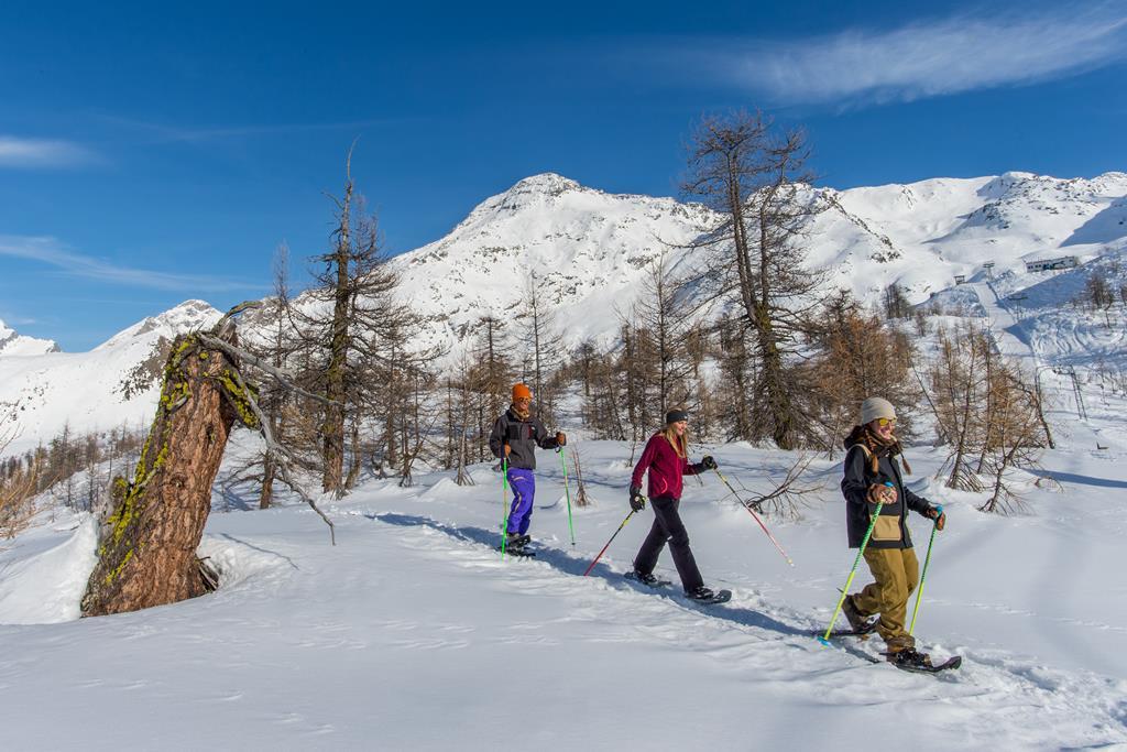
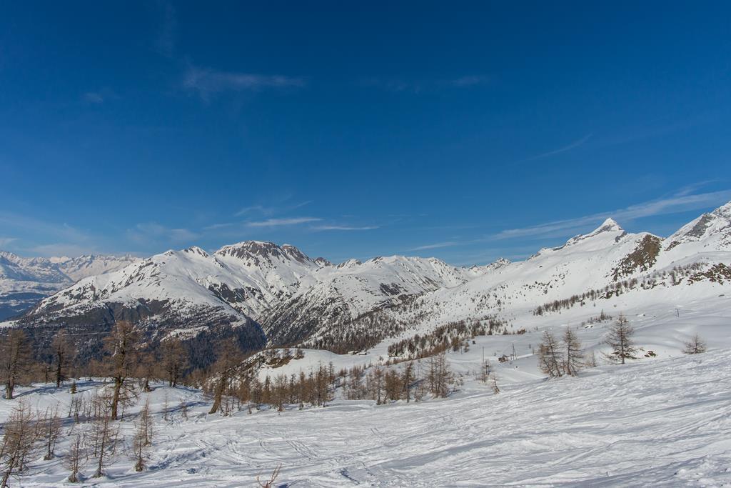
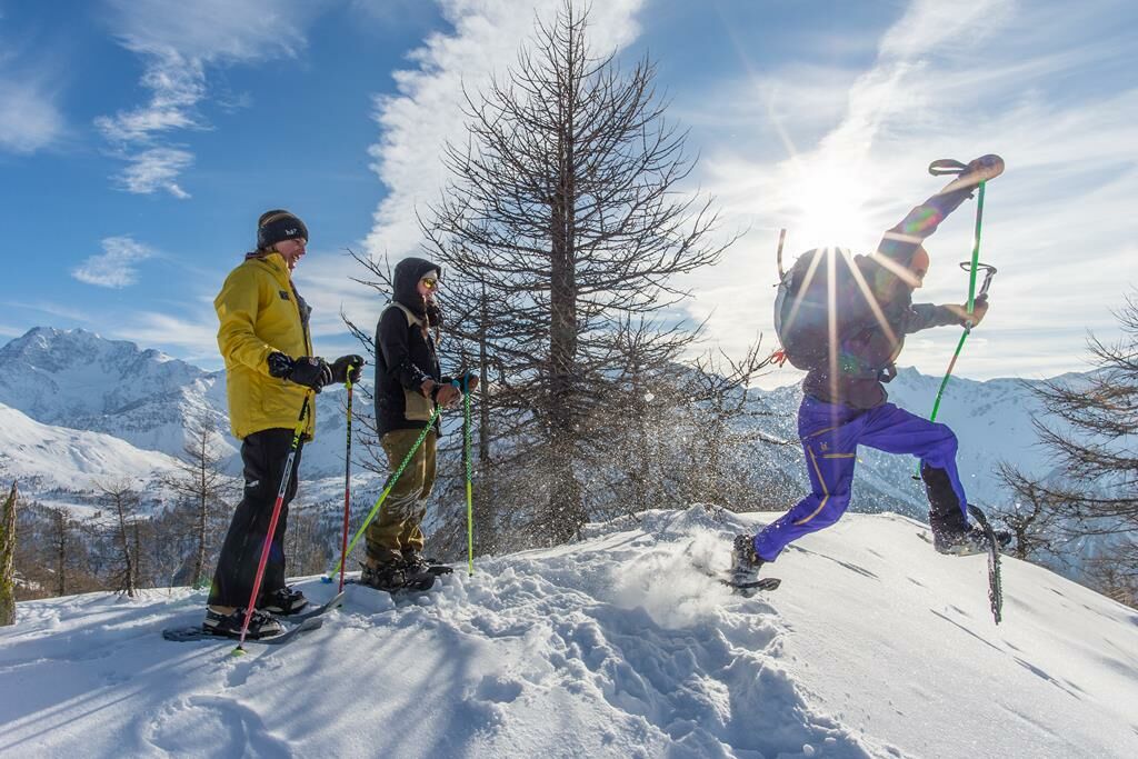
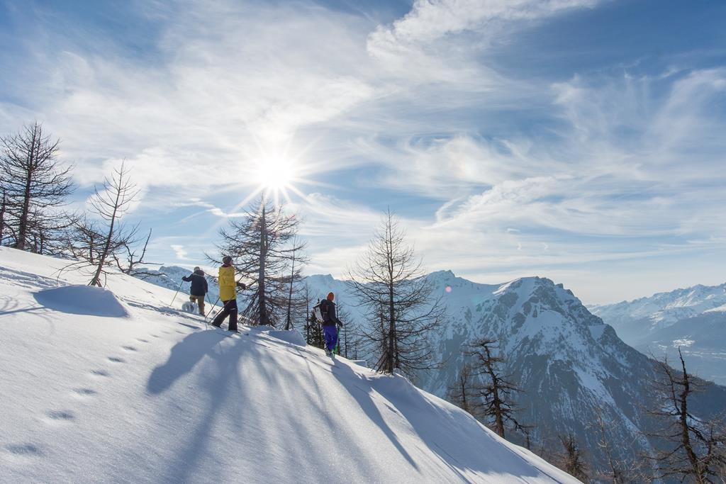
Experience the fascination of snowshoeing in the beautiful winter world of the Rothwald. Where you can glide through snow-covered and untouched winter landscapes.
- Difficulty
-
difficult
- Rating
-
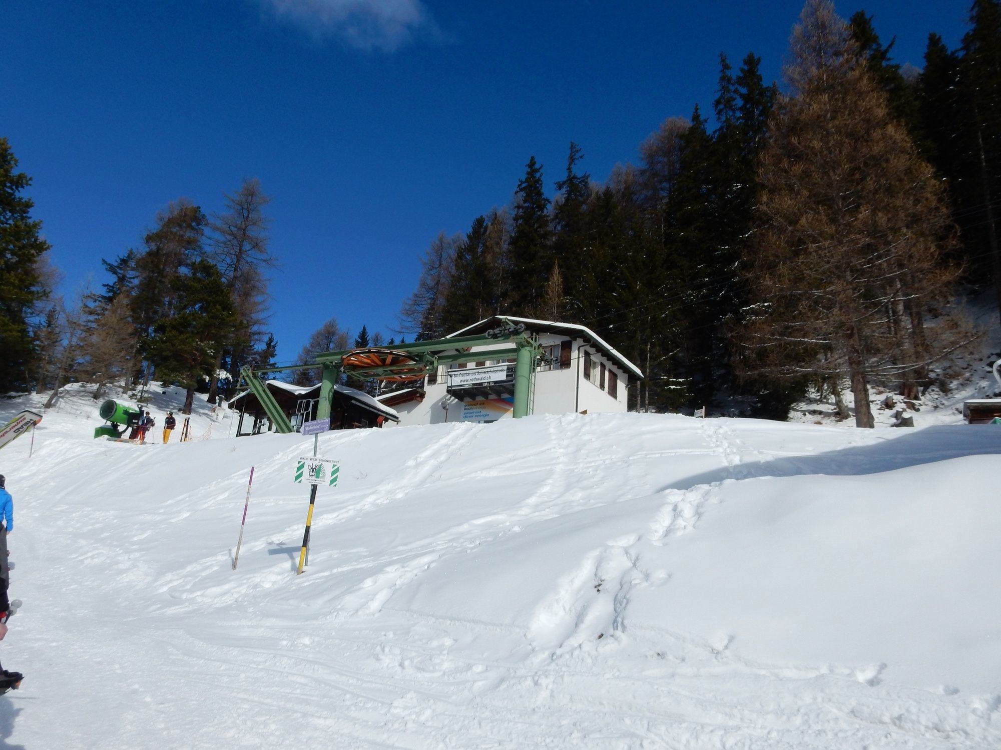
- Starting point
-
Rothwald, Post
- Route
-
Rothwald0.1 kmRothwald0.8 kmMäderlicka2.3 kmKapelle Wasenalp3.8 kmWasenalp3.8 kmGanterwald6.3 km
- Best season
-
AugSepOctNovDecJanFebMarAprMayJunJul
- Description
-
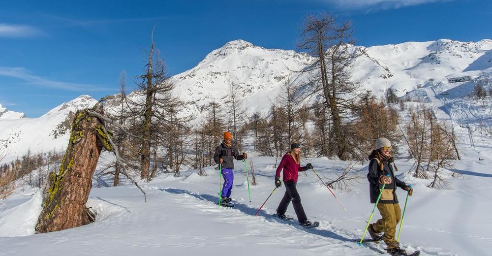
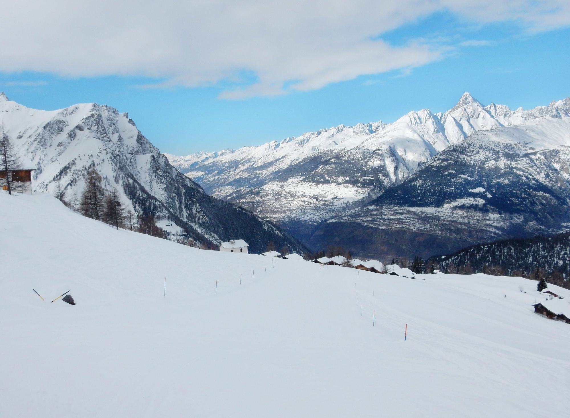
This snowshoe trail leads from the valley station of the Rothwald ski lifts via the marked trail into the upper Rothwald forest, up the Jochtwald forest to the panorama restaurant Mäderlicka. From there it descends into the imposing "Durstbachschlucht" gorge to the "Durstbachbrücke" bridge (branch). Then it goes over the groomed Wasmerstrasse/Piste to the mountain restaurant Wasenalp. Behind the restaurant we follow the marked trail over the "Hackber" down to "d'Obru Egge" and from there back to the Hotel Ganterwald and over the pavement of the national road back to the starting point.
The "Extreme Variant": go the hike in the opposite direction. Attention: steep ascent in the gorge!
More winter hiking trails can be found here
- Directions
-
This snowshoe trail leads from the valley station of the Rothwald ski lifts via the marked trail into the upper Rothwald forest, up the Jochtwald forest to the panorama restaurant Mäderlicka. From there it descends into the imposing "Durstbachschlucht" gorge to the "Durstbachbrücke" bridge (branch). Then it goes over the groomed Wasmerstrasse/Piste to the mountain restaurant Wasenalp. Behind the restaurant we follow the marked trail over the "Hackber" down to "d'Obru Egge" and from there back to the Hotel Ganterwald and over the pavement of the national road back to the starting point.
The "Extreme Variant": go the hike in the opposite direction. Attention: steep ascent in the gorge!
- Highest point
- 2,216 m
- Endpoint
-
Ganterwald, Post
- Height profile
-
 © outdooractive.com
 - Equipment
-
Clothing adapted to the weather conditions is indispensable.
- Safety instructions
-
This route is only accessible when the lake is open (danger of avalanches)!
The trails are marked with wooden poles with a purple coating. In addition, reflective light bands are attached. We kindly ask you to follow the marked routes in the interest of our forest and wildlife. Waste should be put back in your rucksack.
- Tips
-
Ganterwald, Schutzhaus, Wasenalp and Mäderlicka in these restaurants you can have a meal and enjoy the view.
- Additional information
- Directions
-
Post bus stops are available in both Ganterwald and Rothwald.
- Public transportation
-
From Brig the Rothwald can be easily reached by post bus.
- Parking
-
Free parking is available in Ganterwald and Rothwald.


-

-
AuthorThe tour Schneeschuhtrail Rothwald is used by outdooractive.com provided.


-
Aletsch Arena
142
-
Brig Simplon
82
-
Rosswald
34