

- Brief description
-
The Col des Montets is relatively easy: it is only seven kilometres long with 500 metres of climbing. It’s situated in France but is still part of the Trient Valley.
- Difficulty
-
medium
- Rating
-
- Starting point
-
Le Châtelard
- Route
-
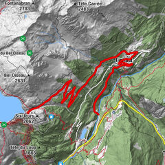
Le Châtelard-Frontière (1,116 m)0.4 kmLe Mollard2.0 kmVallorcine3.0 kmLe Plan Droit3.6 kmLa Ferme des 3 Ours3.6 kmLe Morzay4.0 kmLe Nant4.1 kmLe Couteray4.5 kmLe Buet5.1 kmL’ail des ours5.2 km
- Best season
-
JanFebMarAprMayJunJulAugSepOctNovDec
- Description
-
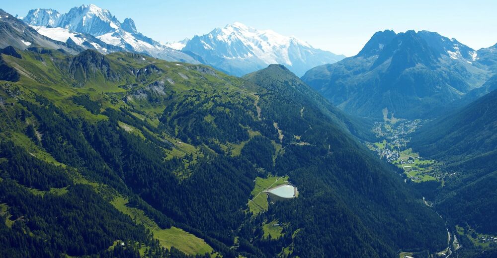
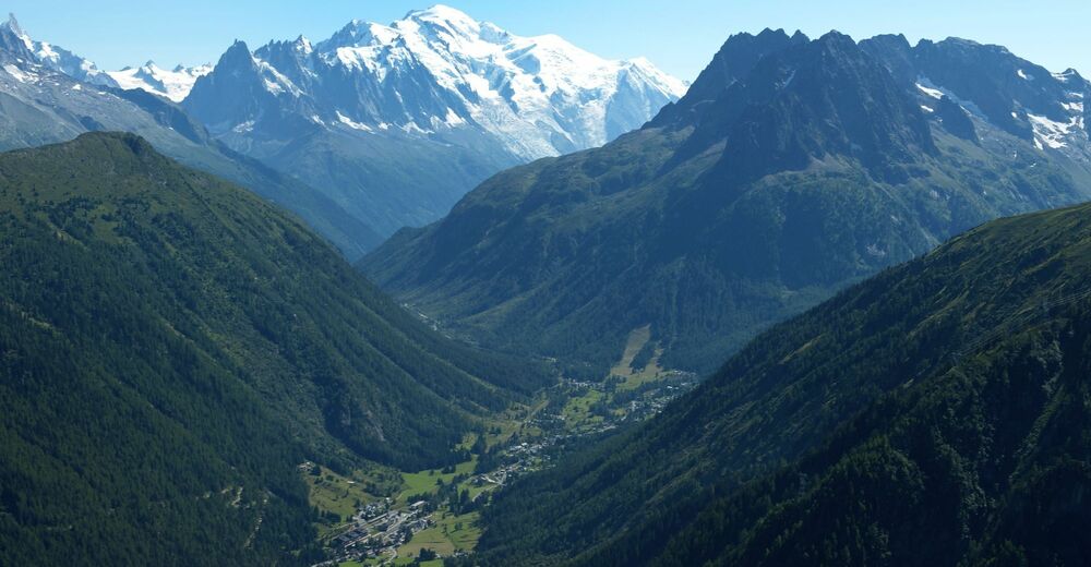
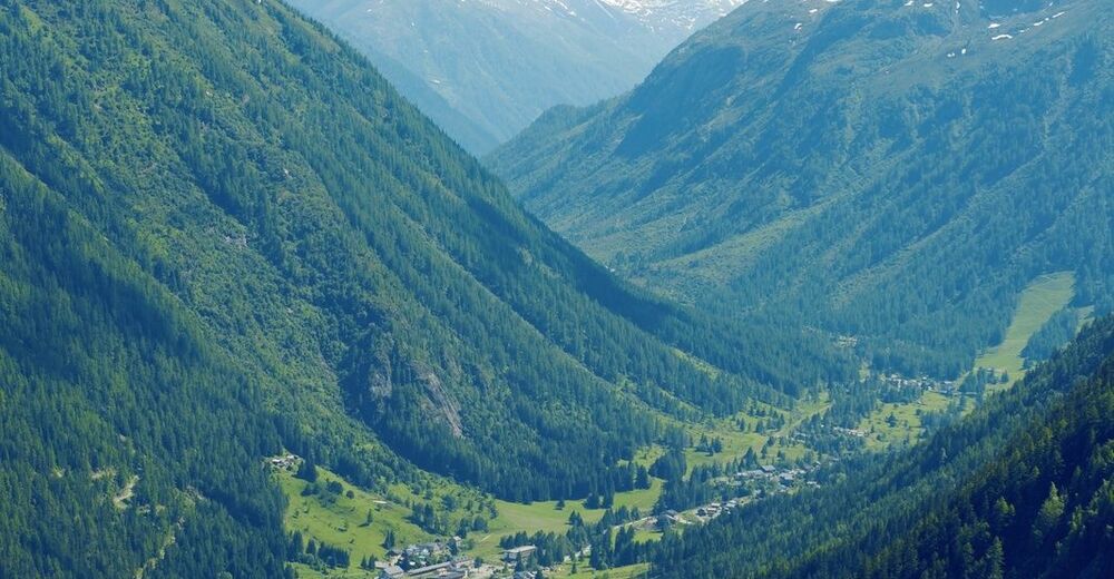
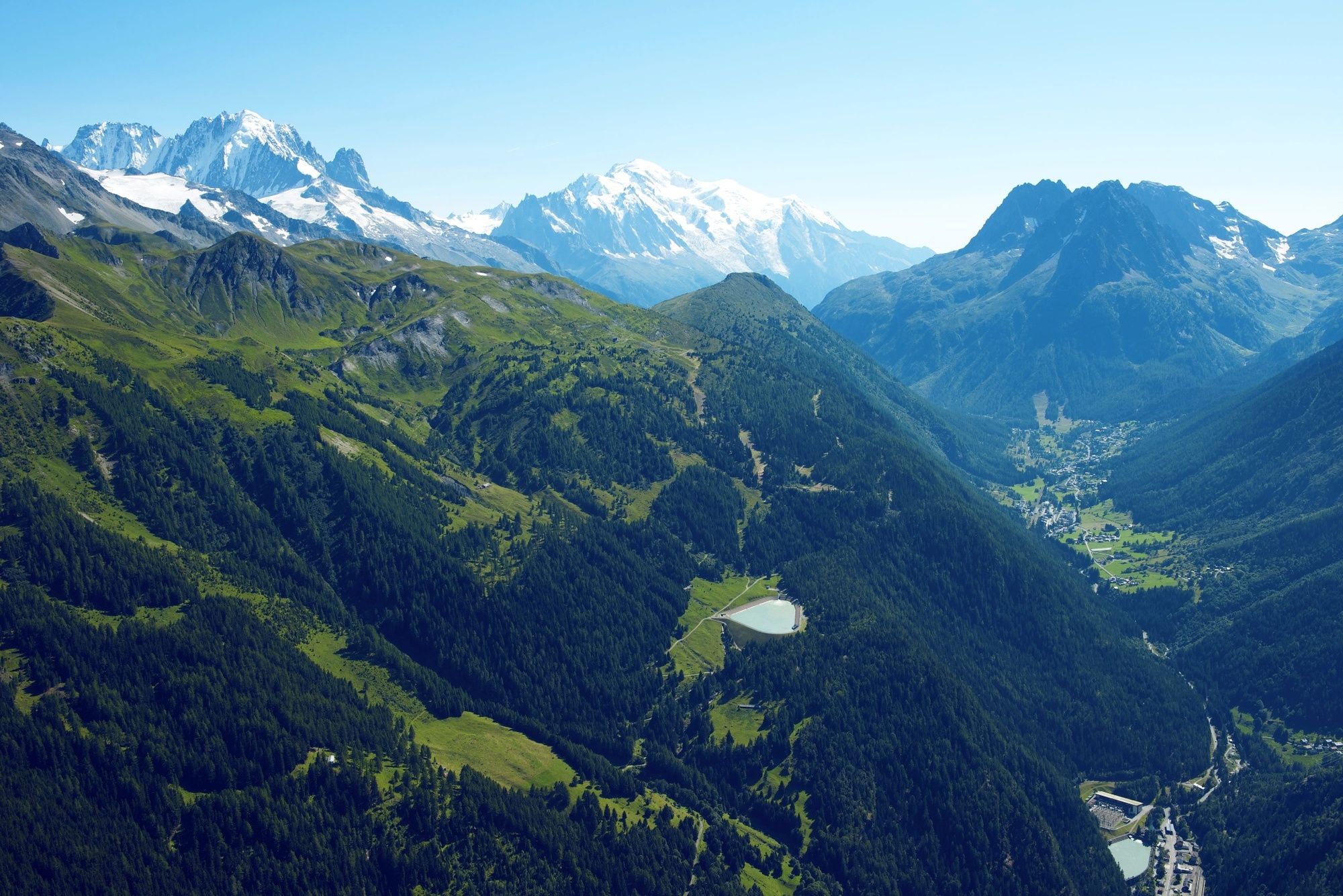
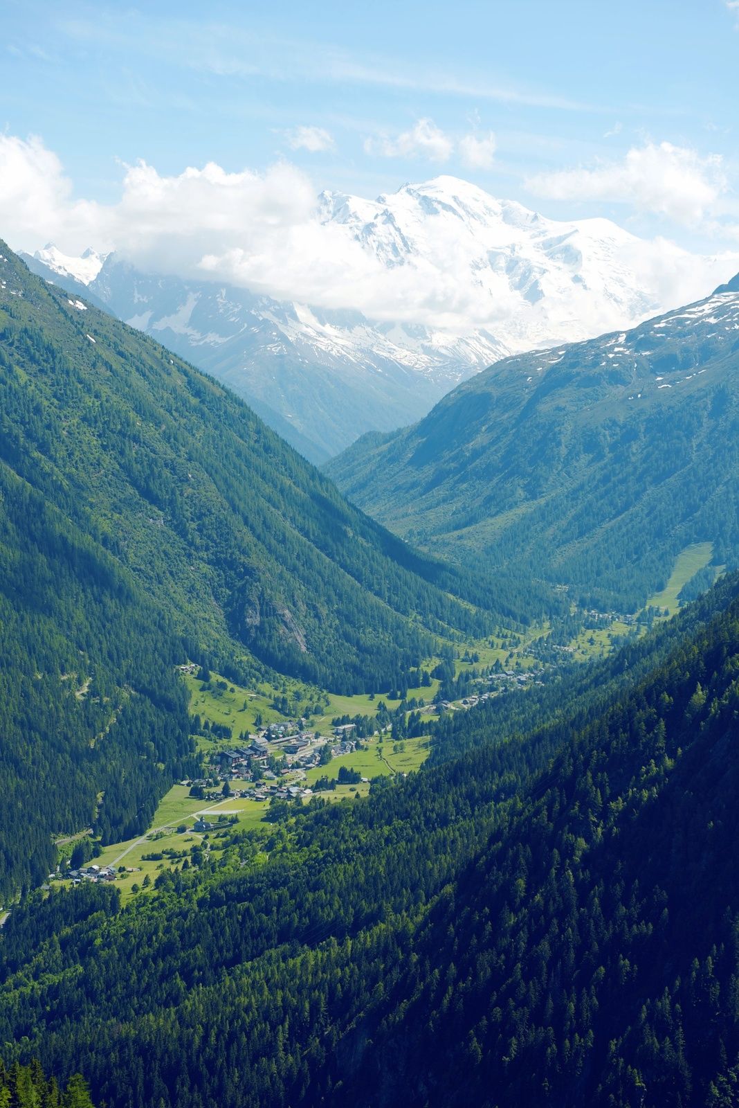
Between Le Châtelard on the French-Swiss border and the Col des Montets, the road does not present any significant difficulties. The slope is never too steep and the road surface is in excellent condition. You will cross the village of Vallorcine and its rustic nature. At the summit, the route continues in the direction of Argentière and Chamonix.
- Directions
-
The Col des Montets is probably the easiest pass in the Valais network. For a change, this climb does not require too much effort! From Le Châtelard until the summit, the road is pleasant and crosses the Mont Blanc Express train linking Martigny to Chamonix. The mountain resort of Vallorcine about mid-way up is worth a visit, and the view at the summit will make you want to continue your ride towards Argentières and Chamonix.
- Highest point
- 1,464 m
- Endpoint
-
Col des Montets
- Height profile
-
 © outdooractive.com
 - Equipment
-
We recommend: bike in excellent working order, helmet, gloves and bell, clothing suitable for the weather (always carry a waterproof), food and drink.
- Safety instructions
-
Strictly respect the Swiss traffic rules. Please note that you are running the tour at your own risk and all liability is refused. Please be considerate to plants and animals. For your own safety, wear an helmet every time you ride a bike.Emergency numbers: 144 Ambulance / 117 Police / 1414 Helicopter Rescue (Rega).
- Tips
-
As a reward at the top of the pass, take the time to admire the beautiful panorama that awaits you.
- Additional information
- Directions
-
Motorway A9 to Martigny, then continue on the E27 Road to Martigny-Combe, where you take the road to the Forclaz Pass. Pass by Trient and arrive at Le Châtelard.
- Public transportation
-
From Martigny, take the regional train (TMR) to Le Châtelard.
- Parking
-
Parking at the village of Le Châtelard.

- Author
-
The tour Col des Montets (FRA) – Legendary Mountain Passes is used by outdooractive.com provided.