


- Brief description
-
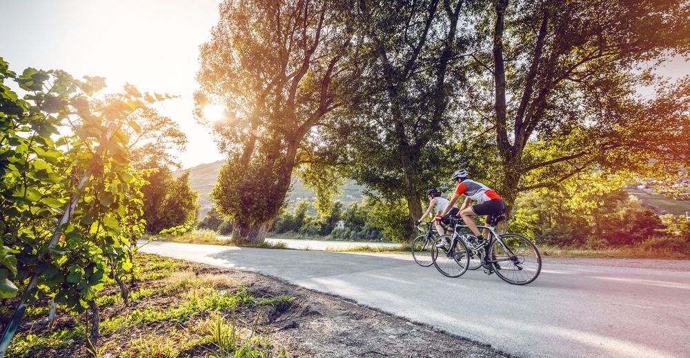
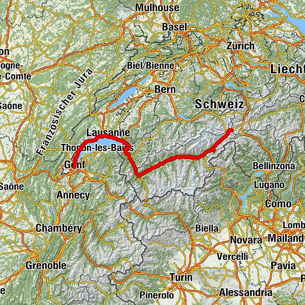
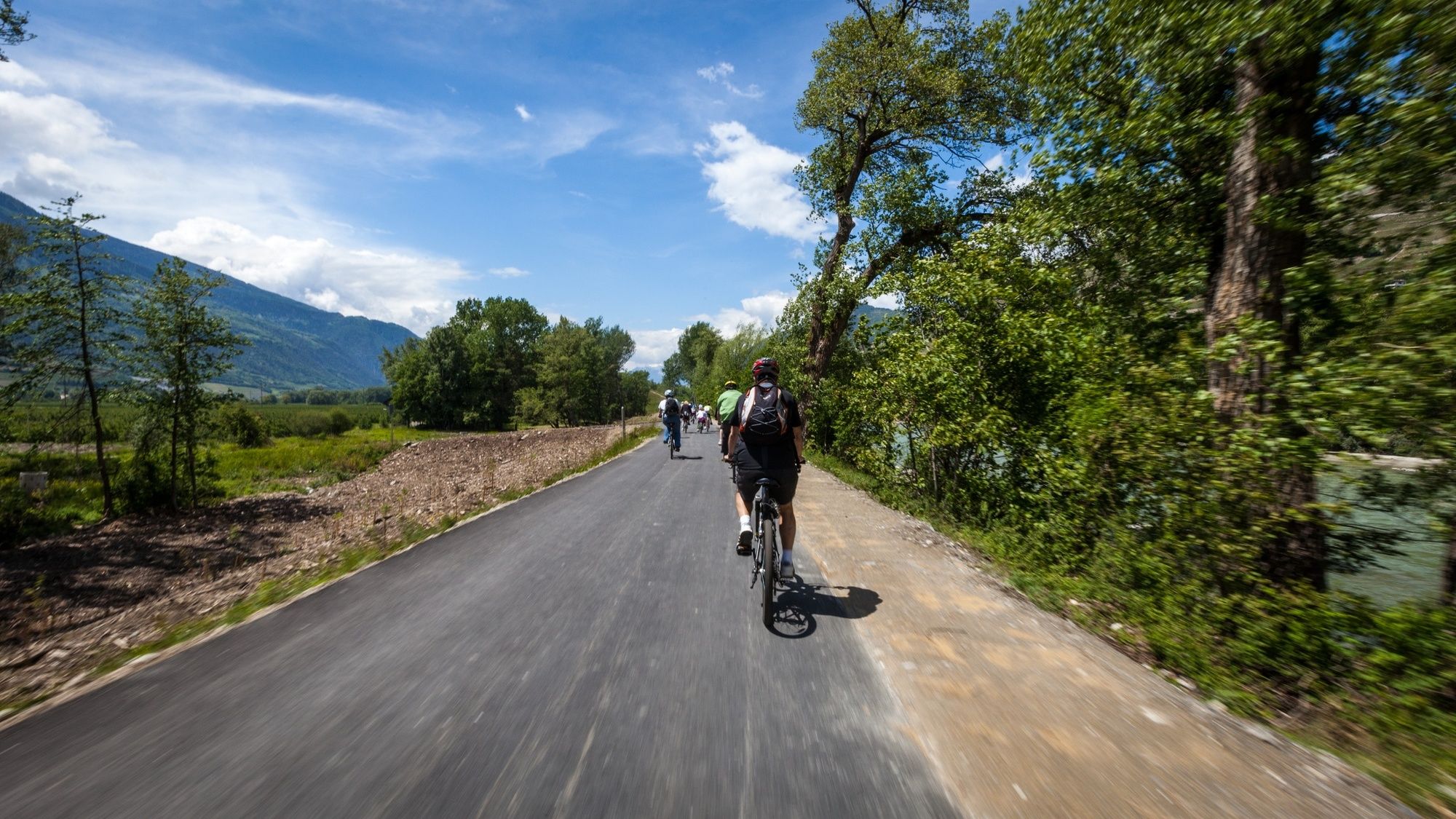
The Rhone Route runs through the magnificent mountain scenery of the Valais on charming, quiet paths along the Rhone. It leads along the famous palm-lined promenades of Lac Léman and the picturesque Lavaux vineyards and ends at cosmopolitan Genève.
- Difficulty
-
medium
- Rating
-
- Starting point
-
Andermatt
- Route
-
Gletsch (1,757 m)9.9 kmGletsch (1,759 m)10.0 kmRhonequelle13.0 kmSt. Niklaus15.0 kmOberwald (1,377 m)16.2 kmKirche Heilig Kreuz16.2 kmBinelti16.4 kmPizzeria al Ponte16.4 kmFurka16.4 kmHubertus19.4 kmObergesteln (1,355 m)19.4 kmUlrichen (1,346 m)20.9 kmWichel21.1 kmBistro22.2 kmChappelegüet23.5 kmWiti Matte23.6 kmReckingen (1,316 m)28.2 kmAugenstern28.8 kmGluringen (1,357 m)29.5 kmRitzingen (1,318 m)30.7 kmBieligermatte31.8 kmBiel (1,312 m)31.8 kmSelkingen (1,318 m)31.9 kmZeit32.7 kmLärch33.3 kmOlympia-Sport33.6 kmBlitzingen (1,290 m)33.6 kmBodme33.7 kmEischta34.7 kmEischtebord34.7 kmNiederwald (1,251 m)35.2 kmSand35.6 kmChauchofe35.6 kmSteinhaus37.4 kmMühlebach (Goms) (1,248 m)39.8 kmMoosji40.0 kmErnen41.2 kmLa Scala41.2 kmAusserbinn (1,304 m)44.8 kmJägerheim44.8 kmLätzes Üsserbi45.7 kmHubu46.0 kmHockmatta49.4 kmBächerhyschere52.5 kmGrengiols (995 m)53.3 kmZenhäusern54.9 kmFiel55.1 kmMartischegga55.2 kmSchleif55.5 kmGöttjerschhüs55.7 kmHofstatt55.9 kmBänna56.0 kmBister (1,054 m)56.0 kmEggetsch56.2 kmEgga56.3 kmJakobsstadel56.4 kmSchwiimata56.4 kmPeterlisch56.7 kmUnneri-Leeri57.2 kmChrizacher57.2 kmGöichheit57.9 kmFilet (757 m)59.6 kmTunetsch59.7 kmBreiten59.7 kmFurka60.0 kmRelais Walker60.2 kmMörel (746 m)60.4 kmBilderne61.1 kmHejie-Fliene62.1 kmHohflue-Kapelle62.1 kmRestaurant Z Matt62.7 kmEbnet63.2 kmBitsch63.5 kmNaters (673 m)66.3 kmBrig (691 m)66.6 kmGamsen69.8 kmBrigerbad72.8 kmEyholz74.0 kmLalden74.8 kmVisp (658 m)76.0 kmEggerberg76.6 kmBaltschieder (658 m)77.7 kmSankt German82.9 kmKummendorf82.9 kmRarogne84.8 kmChâtillon-le-Bas86.6 kmGampilgaar (Niedergesteln)89.8 kmTraube92.3 kmBurketen92.4 kmNiedergampel93.0 kmGetwing (610 m)93.7 kmSusten (630 m)99.6 kmGlarey108.9 kmÉglise St. Catherine109.5 kmSiders (533 m)109.9 kmZippis (532 m)111.2 kmNoës113.6 kmOllon VS116.1 kmL'ho'ho'ho118.4 kmSitten (515 m)128.2 kmAproz133.6 kmLes Iles d'Ardon137.5 kmLes Iles de Chamoson139.1 kmFully (461 m)152.0 kmDorénaz (450 m)160.6 kmMiéville161.3 kmLa Balmaz162.3 kmCollonges (452 m)163.8 kmEvionnaz164.6 kmLa Rôtisserie du Bois-Noir166.2 kmLavey-les-Bains168.2 kmLes Terreaux170.0 kmBasilique Saint Maurice170.2 kmSaint-Maurice (414 m)170.3 kméglise St-Jean-Baptiste173.2 kmMassongex (408 m)173.3 kmBoeuferrant178.7 kmIllarsaz (384 m)183.7 kmChessel (379 m)189.9 kmLa Praille196.0 kmLes Saviez199.3 kmVilleneuve (375 m)199.8 kmTaverne du Château de Chillon201.9 kmLe Petit-Veytaux202.5 kmVeytaux (438 m)202.8 kmTerritet203.2 kmTerritet (373 m)203.7 kmMontreux (390 m)204.8 kmMontreux (373 m)205.3 kmVernex206.0 kmEglise évangelique réformée allemande206.0 kmSte-Thérèse207.2 kmClarens207.3 kmLa Tour-de-Peilz (385 m)210.9 kmEntre-deux-Villes211.5 kmVevey (383 m)212.0 kmTemple de Corsier214.3 kmCorsier (420 m)214.4 kmCorseaux (445 m)215.3 kmL'Onde218.2 kmSaint-Saphorin (384 m)218.2 kmLe Monteiller219.3 kmChexbres (565 m)219.5 kmRivaz (445 m)219.8 kmLe Monaud220.3 kmLa Crochettaz & Mama India222.2 kmEpesses (464 m)223.0 kmLa Maison des Vignerons223.0 kmAuberge des Vignerons223.2 kmRiex (443 m)224.0 kmCully (387 m)224.6 kmChenaux224.9 kmGrandvaux (489 m)225.8 kmVillette (397 m)226.1 kmAran226.3 kmChâtelard227.7 kmLutry (373 m)228.7 kmTemple de Lutry228.7 kmBellerive229.5 kmPaudex (382 m)229.8 kmPully (426 m)230.7 kmLausanne (495 m)233.1 kmRenens (415 m)237.6 kmEcublens (428 m)238.9 kmSaint-Sulpice (394 m)240.4 kmPréverenges (405 m)245.3 kmMorges (374 m)247.6 kmZ.I. Riond-Bosson249.2 kmZ.I. Caroline249.8 kmAux Saux250.1 kmSous La Cure250.6 kmTolochenaz (423 m)250.7 kmRefuge Joli Boiron250.8 kmSaint-Prex (377 m)253.7 kmBuchillon (398 m)256.9 kmSabai Thai258.1 kmAllaman (409 m)259.3 kmLa Pêcherie260.6 kmLa Passade261.9 kmÉglise de Perroy262.1 kmPerroy (418 m)262.2 kmRolle (376 m)265.4 kmLe Rosey266.4 kmMarché269.7 kmPizzeria Tomate273.1 kmGland (432 m)274.0 kmPacha274.0 kmPrangins (414 m)278.3 kmNyon (403 m)280.2 kmNyon (406 m)280.7 kmCrans (423 m)285.9 kmL'Union286.2 kmCéligny (430 m)287.3 kmTemple287.4 kmBuffet de la gare288.0 kmFounex (398 m)289.5 kmCoppet (377 m)291.5 kmTannay (410 m)293.1 kmL’auberge Au Lion d’Or293.2 kmMies (410 m)293.8 kmParoisse catholique297.5 kmVersoix (388 m)297.7 kmVersoix (385 m)297.9 kmMalagny298.9 kmGenthod (405 m)299.9 kmRestaurant du Château de Genthod299.9 kmBellevue (380 m)301.2 kmKutchi Restaurant301.3 kmauberge port gitana301.3 kmChambésy (440 m)302.7 kmSécheron305.3 kmÉglise Sainte-Trinité305.6 kmLes Pâquis306.0 kmGeneva Railway Station (392 m)306.6 kmÉglise Notre-Dame306.7 kmGeneva (375 m)307.0 km
- Best season
-
JanFebMarAprMayJunJulAugSepOctNovDec
- Description
-
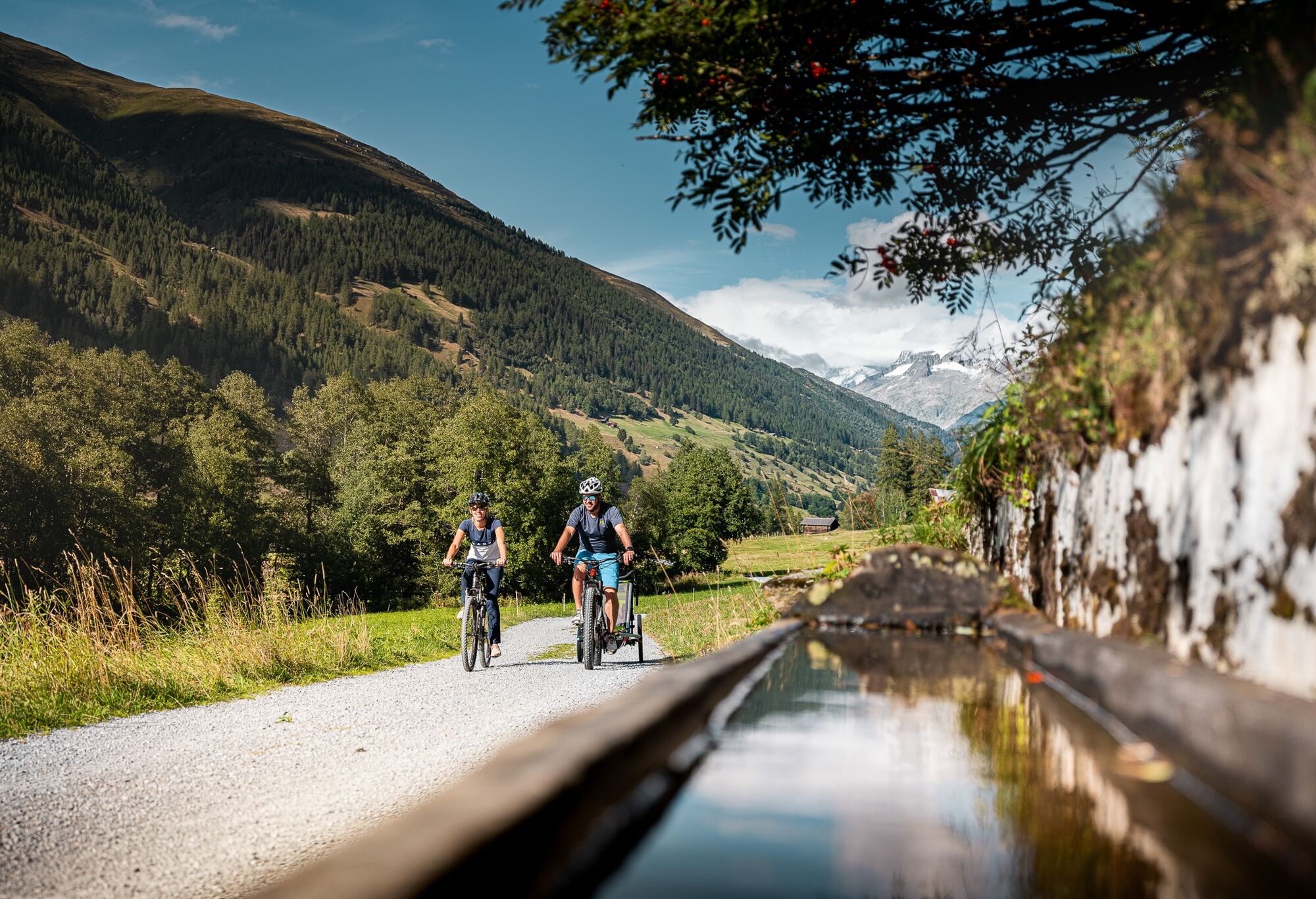
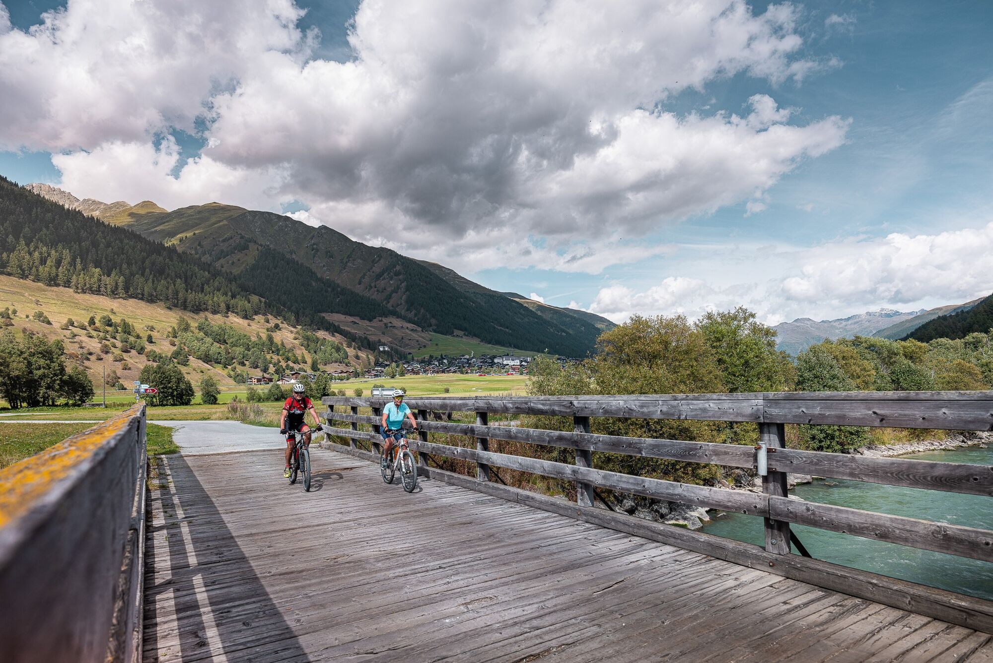
The Rhone Route begins in Andermatt and follows the curving sweep of the youthful Rhone River to Geneva. This route is 350km long and covers very different types of landscape. In Valais the route starts in Oberwald and ends in Le Bouveret, and can be explored in several days. It runs through the magnificent mountain scenery of Valais on charming, quiet paths along the Rhone. It runs mostly downhill with a few ascents. From Brig to Geneva, the route is almost entirely flat and is particularly suitable for leisure cyclists.
- Directions
-
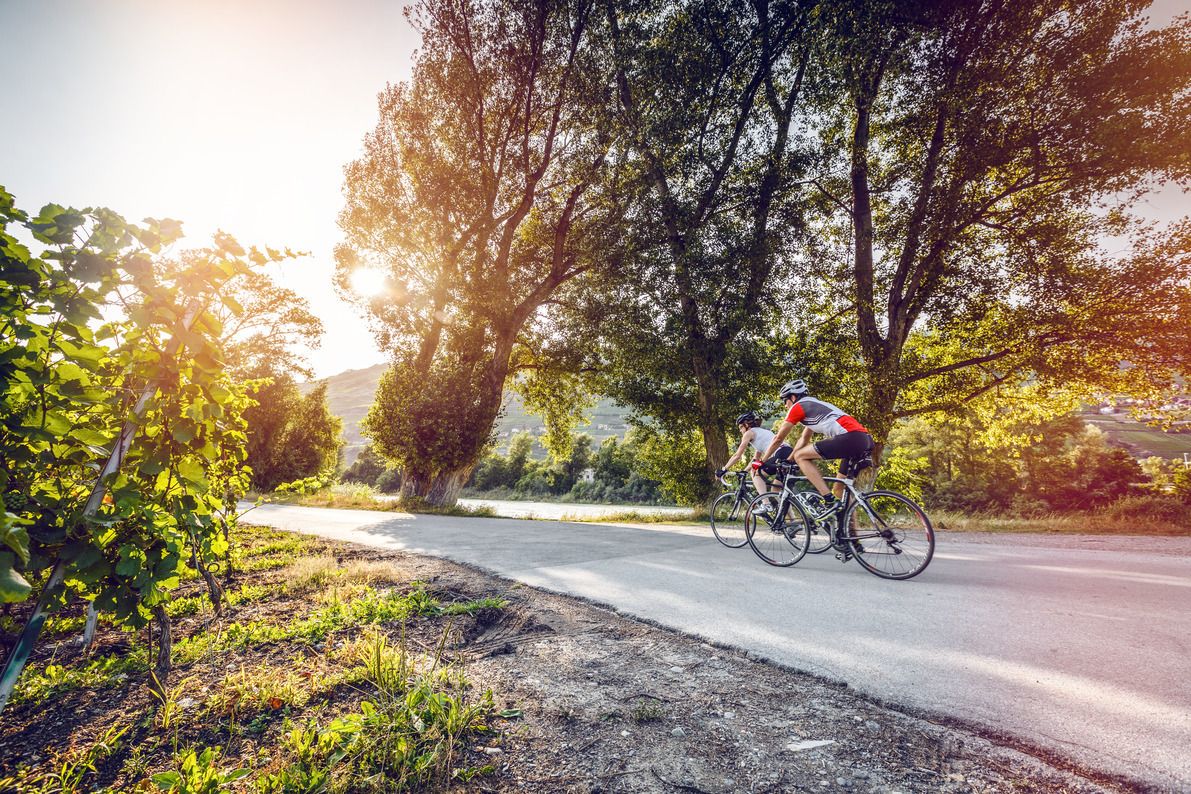
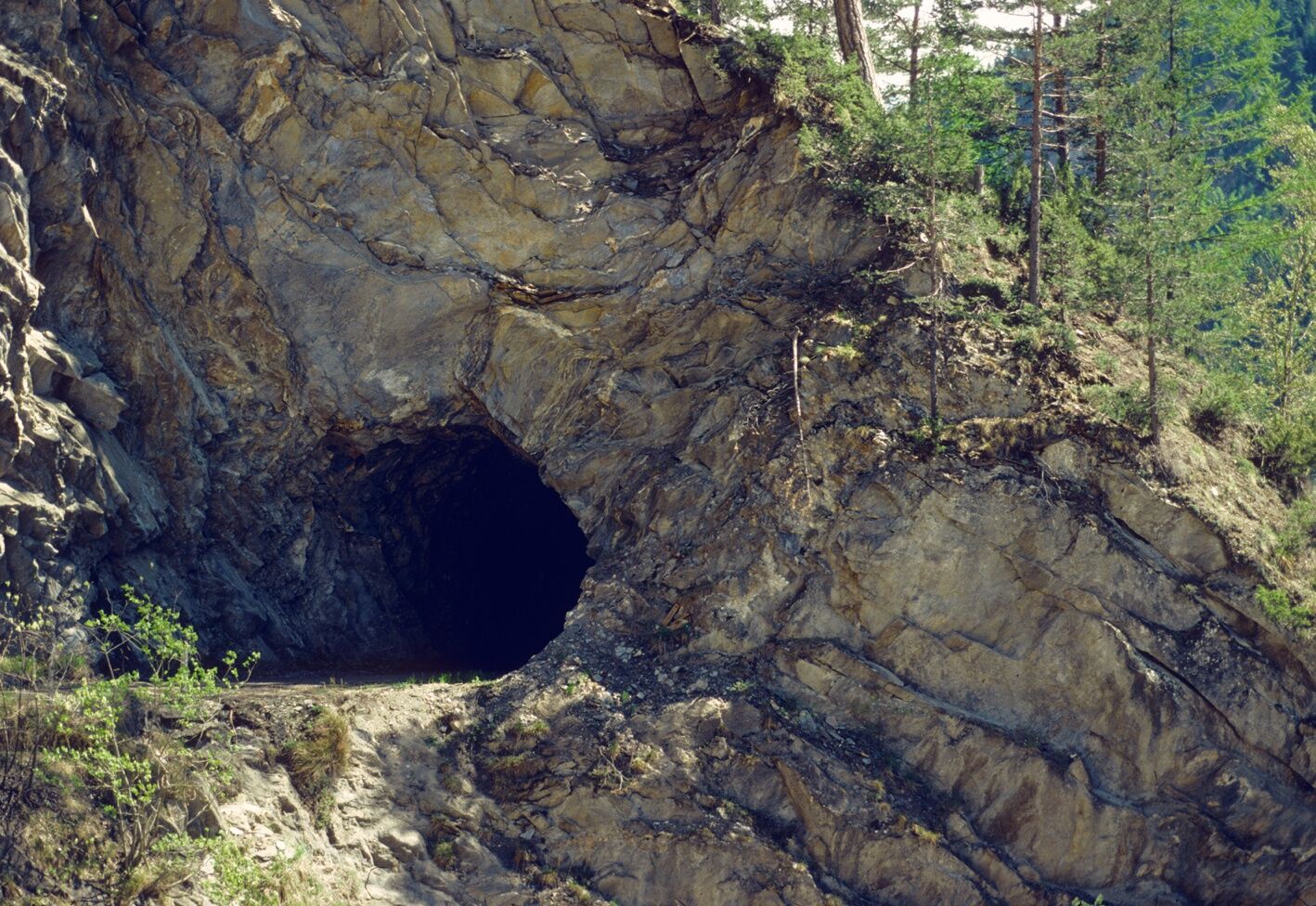
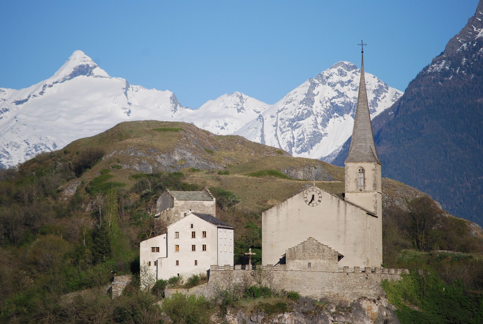
The Rhone Route runs through the magnificent mountain scenery of the Valais, embracing glistening Lac Léman. After treeless Alpine pastures in Urserental, there's a perspiring climb up the Furkapass followed by a heady downhill ride past the melting ice towers of the Rhone Glacier. Through Goms, the wide, sunny high-level valley of the young Rhone. Flower-filled fields and the aroma of resin accompany you almost to Brig, the main town of Upper Valais. The main valley widens, sun heats the mountain flanks. Before the lively towns of Sierre und Sion, an unruly section of the Rhone widens out; the Pfynwald nature reserve on a huge detritus mound. The Dents du Midi dominates the mountain scenery in the lower Rhone Valley. A world of orchards and vineyards. Lac Léman, a small silver sea, surrounded by snow-capped peaks and the vineyard landscape of Lavaux and La Côte. Along the shores, the towns of Vevey, Montreux, the Vaud metropolis of Lausanne, then Nyon and cosmopolitan Geneva.
- Highest point
- 2,427 m
- Endpoint
-
Geneva
- Height profile
-
 © outdooractive.com
 - Equipment
-
We recommend: bicycle in excellent working order, helmet, gloves and bell, clothing suitable for the weather (always carry a waterproof), food and drink.
- Safety instructions
-
Strictly respect the Swiss traffic rules. Please note that you are running the tour at your own risk and all liability is refused. Please be considerate to plants and animals. For your own safety, wear an helmet every time you ride a bike. Emergency numbers: 144 Ambulance / 117 Police / 1414 Helicopter Rescue (Rega).
- Tips
-
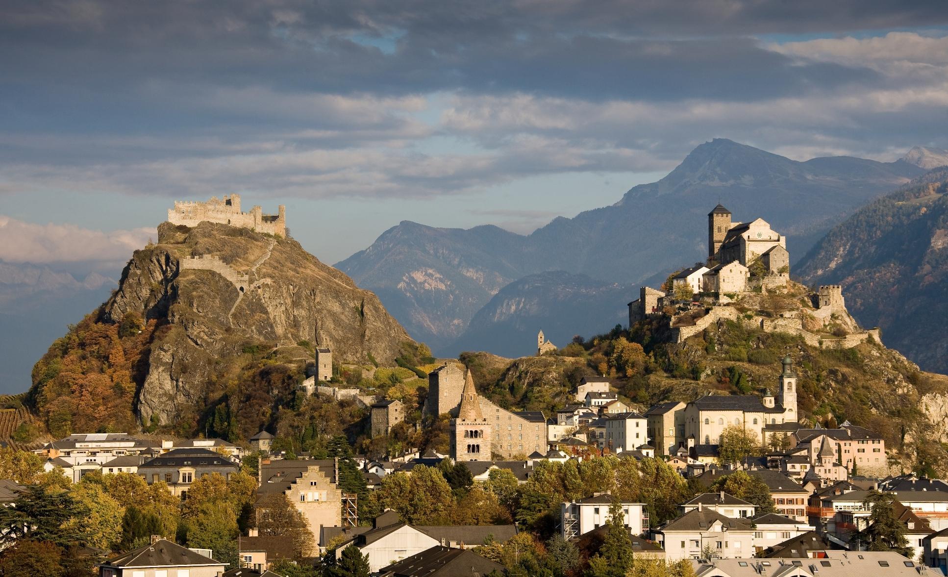
Discover the different castles and fortresses along the route: the Stockalper castle in Brig, the castles of Valère and Tourbillon in Sion, the castle of Saillon with its impressing tower or the Chillon castle at the lake Geneva are worth a little break. For the comfortable bike riders we recommend a visit at one of the numerous wineries where you can taste different wines of Switzerlands biggest wine region.
- Additional information
- Directions
-
If you are coming by car, it is about 10 minutes’ drive to Andermatt after you exit the motorway at Göschenen.
- Public transportation
-
To reach Andermatt, rail passengers take the Gotthard Interregio train that travels to Göschenen every hour. In Göschenen catch the Matterhorn Gotthard Bahn to Andermatt.
- Parking
-
Follow the car-park routeing in Andermatt.
- Author
-
The tour Rhone Route is used by outdooractive.com provided.