- Brief description
-
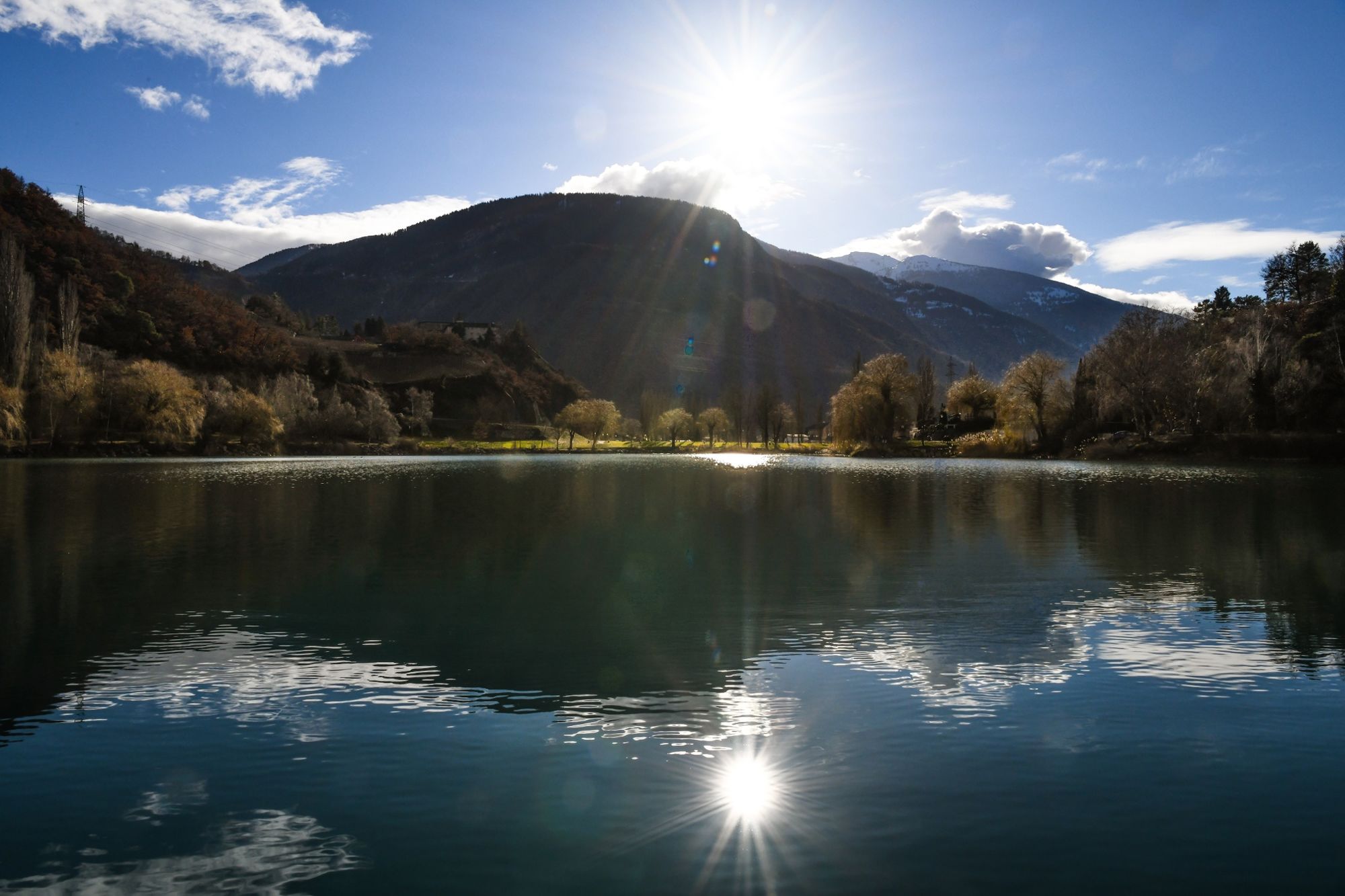
Explore the numerous water places in the Sierre region and discover the variety of landscapes, from the plain to the sunny coasts.
- Difficulty
-
easy
- Rating
-
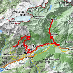
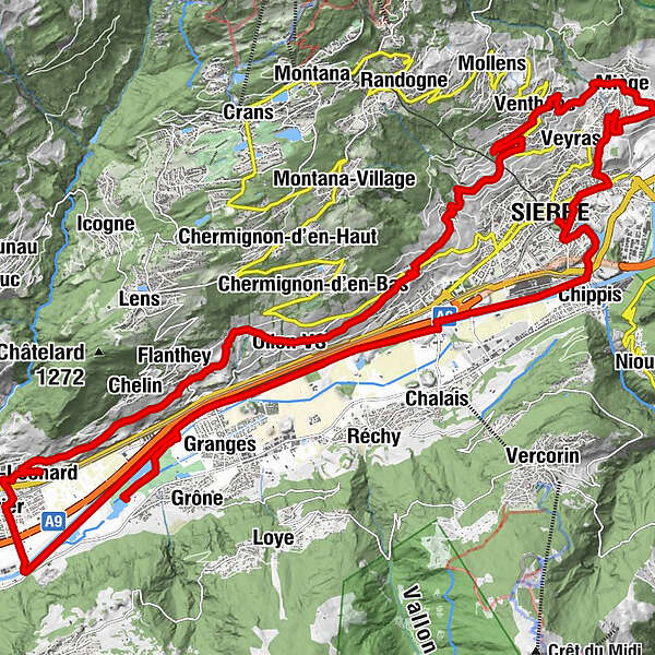
- Route
-
Siders (533 m)Zippis (532 m)1.9 kmNoës4.5 kmOllon VS7.0 kmL'ho'ho'ho8.6 kmUvrier17.0 kmSaint-Léonard (498 m)17.4 kmUnderground lake19.2 kmChelin (756 m)21.1 kmVaas21.8 kmFlanthey21.9 kmSaint-Clément22.3 kmCondémines22.8 kmValençon23.6 kmPetit-Ollon23.9 kmOllon VS24.3 kmChampzabé25.8 kmNoës26.6 kmCorin-de-la-Crête26.9 kmLoc28.3 kmVenthen (799 m)32.2 kmEglise de Miège34.5 kmLe Relais Miègois34.6 kmMiesen (702 m)34.6 kmMuzot36.9 kmVeyras (645 m)37.4 kmGlarey38.0 kmSiders (533 m)39.4 km
- Best season
-
JanFebMarAprMayJunJulAugSepOctNovDec
- Description
-
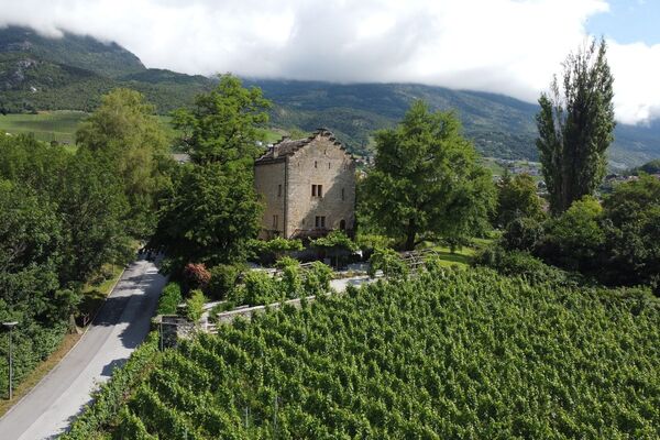
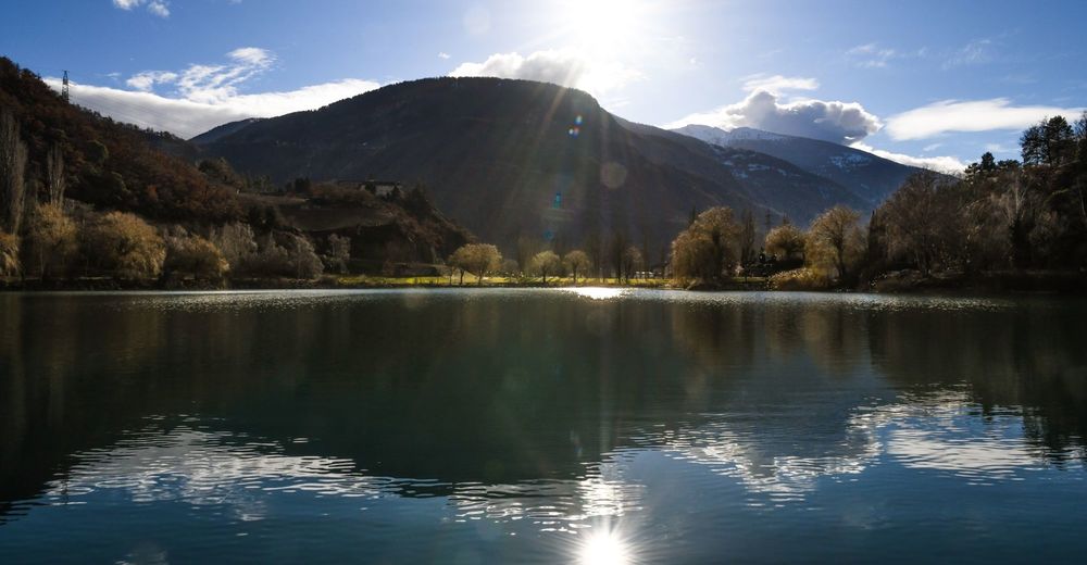
From downtown Sierre, reach the banks of the Rhone through the Small Lakes and Lake Geronde: an oasis of freshness just two pedal strokes away from the city. The rest of the route takes you along the Rhone to Saint-Léonard where you will trade your bike for a boat to visit the largest underground lake in Europe. After this refreshing break, you'll be ready to climb the 300m or so of difference in altitude that separates you from Venthône. A nice descent through the vineyards finally allows you to return to your starting point.
- Highest point
- 817 m
- Height profile
-
 © outdooractive.com
 - Directions
-
By motorway A9 from Lausanne or Sierre-Est, exit Sierre-Ouest (no 28) or by the cantonal road. By routes open all year round: Col de la Forclaz, Gd-St-Bernard tunnel, Simplon pass. Over passes open only in summer: Gd-St-Bernard, Nufenen, Grimsel, Furka.
- Public transportation
-
Reach Sierre by the SBB Lausanne-Brigue line or by the Mont-Blanc & St-Bernard Express line.
- Parking
-
Possibility to park in the car park of the South station in Sierre.
-
-
AuthorThe tour Stroll at the Water's Edge is used by outdooractive.com provided.


General info
-
Thyon les Collons
118
-
Crans - Montana
89
-
Chalais
42