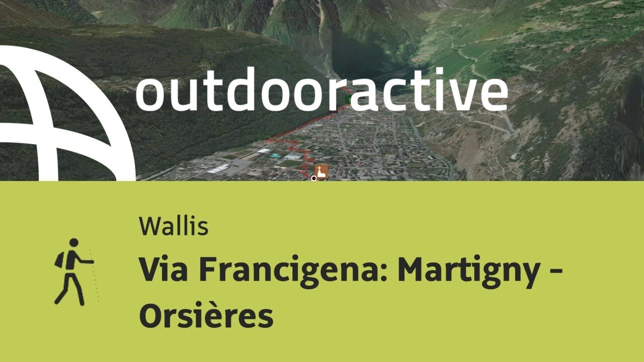
© Outdooractive – 3D Videos
© Pilgerwege Schweiz - Robi Müller
© Pilgerwege Schweiz - Robi Müller
© Pilgerwege Schweiz - Robi Müller
© Pilgerwege Schweiz - Robi Müller
© Pilgerwege Schweiz - Robi Müller
- Brief description
-
Die «Via Francigena» ist einer der 3 christlichen Pilgerwege des Mittelalters, dessen Hauptachse von Canterbury in England nach Rom führt. Diese Dokumentation umfasst vorerst den Abschnitt von Pontarlier nach Rom.
- Difficulty
-
difficult
- Rating
-
- Starting point
-
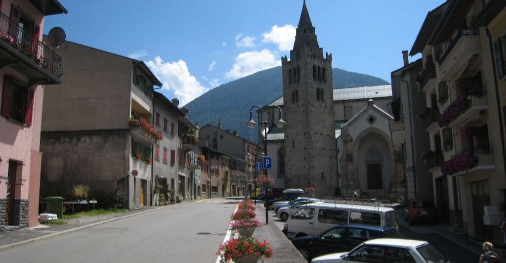
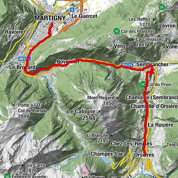
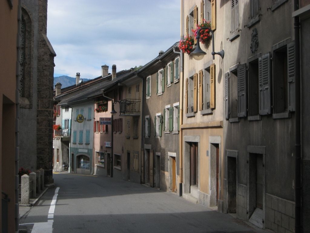
Martigny, Church
- Route
-
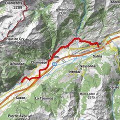
Notre Dame De La VisitationMartigny0.0 kmMartigny-Bourg (484 m)1.2 kmLe Brocard3.7 kmLes Valettes5.8 kmLe Bougan6.1 kmBovernier (613 m)6.5 kmBovernier (613 m)7.0 kmSaint Théodule7.0 kmTsan de la Faille8.7 kmTunnel de la Monnaie9.7 kmPierra Gargantua10.0 kmSaut à Timothé10.6 kmPlanches d'en Bas10.8 kmPlanches d'en Haut11.0 kmLe Fays11.2 kmLe Fays d'en Bas11.3 kmLa Rappe11.4 kmCaloz Rouis11.5 kmLa Gravenne11.8 kmSembrancher (717 m)11.9 kmPré de l'Hôpital12.1 kmGrand Corty12.2 kmFond de Ville12.2 kmMaison Fabri12.3 kmÉglise Saint-Étienne12.3 kmConcordia12.3 kmHelvétia12.3 kmSouste12.3 kmMaison Luder12.3 kmRière Ville12.3 kmHôtel National12.3 kmSembrancher12.4 kmDerrière les Granges12.4 kmSommet de Ville12.5 kmGrange à Body12.5 kmRière les Puces12.5 kmCleusuit Devant12.5 kmCreuse12.5 kmTête de la Chaux12.8 kmChapelle de Saint-Jean14.0 kmChamp de l'Ouraz15.2 kmChampcortay d'en Bas15.5 kmLes Biolles15.7 kmFond du Creux15.7 kmVers la Croix15.7 kmCreuland15.8 kmLa Garde15.8 kmLes Grevets15.9 kmValettes16.0 kmCaret16.0 kmClou16.0 kmCoutaz16.0 kmPlanet16.3 kmLes Grangettes16.3 kmCréteillon16.4 kmChamoille d'Orsières17.0 kmLa Douay17.4 kmEglise St-Nicolas20.0 kmCrêperie Le National20.0 kmLes Alpes20.0 kmOrsières20.0 km
- Best season
-
JanFebMarAprMayJunJulAugSepOctNovDec
- Description
-
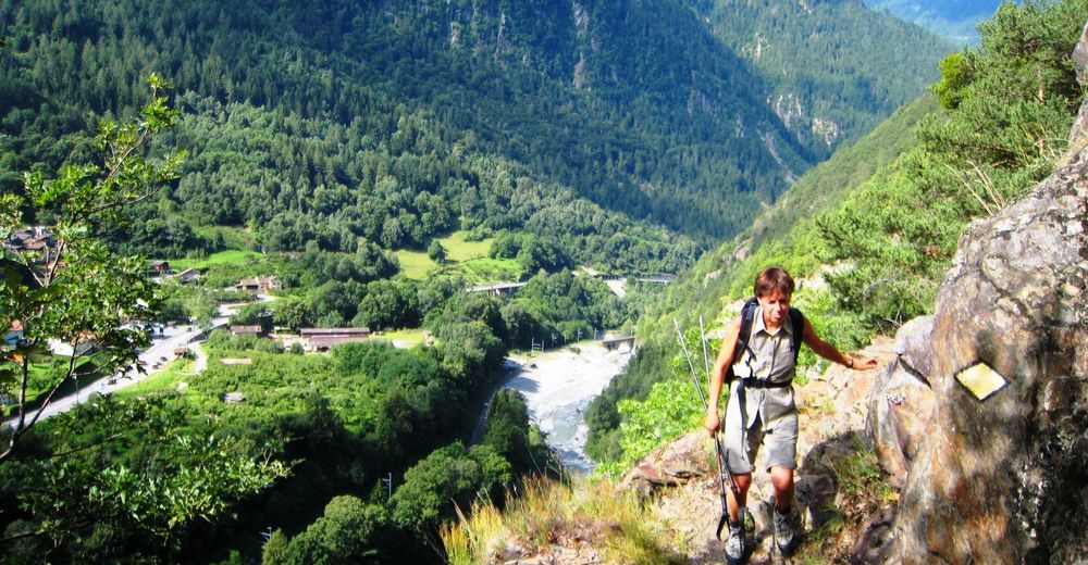
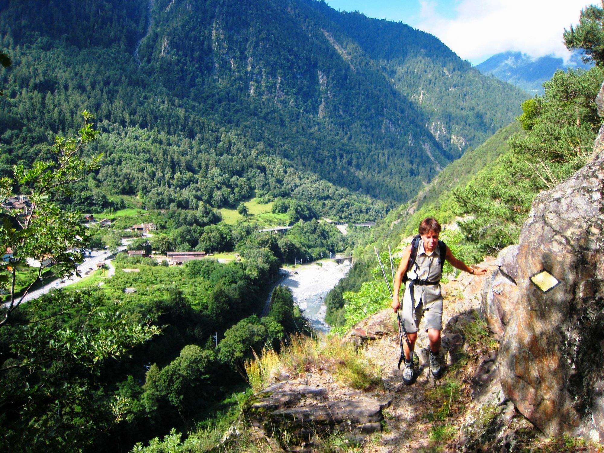
This section terminates the relatively flat countryside. We start tackling the alps along the valley of the Dranse. A roman amphitheatre at the exit of Martigny (close before Le Bourg) demostrates, that the Romans already used this route to cross the alps.
........
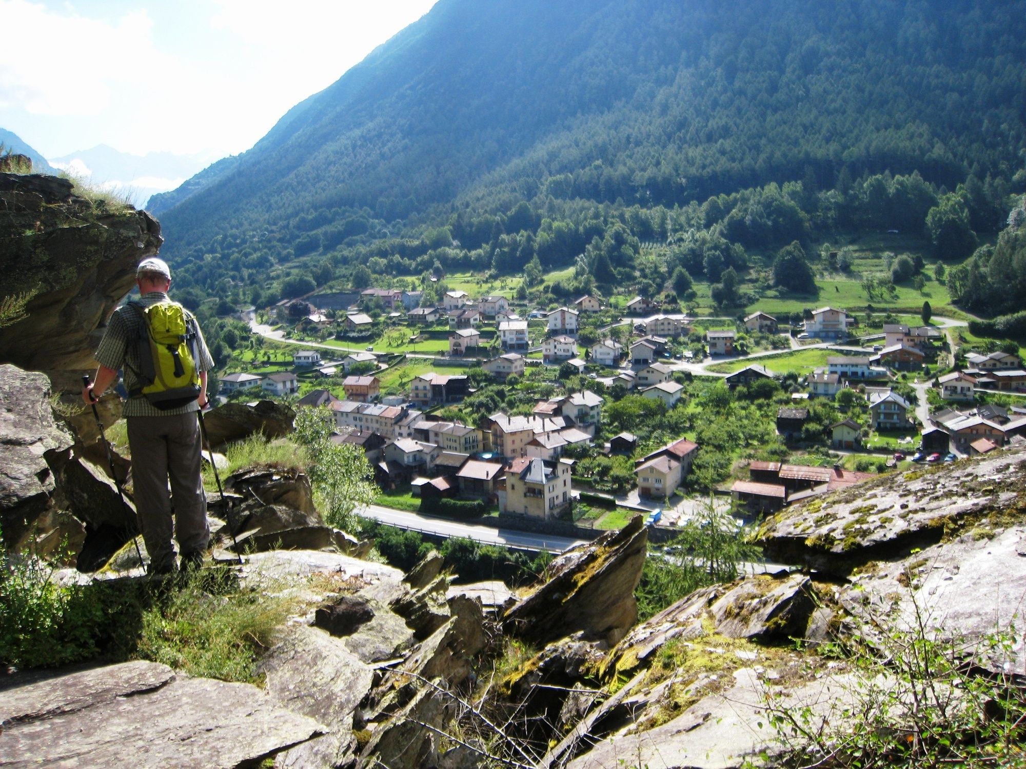
We follow the Dranse creek which initially leads us south, until the valley snaps off to east. On the sunny side of the valley, the trail gets steeper for a while, which will allow a rewarding view over the valley, before we return back to the Dranse in order to reach Bovernier on the other side of the creek. This will not finish the ascents of the day, but the steepest ones are behind us now.
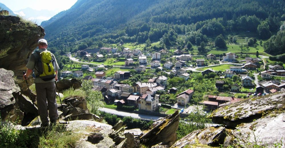
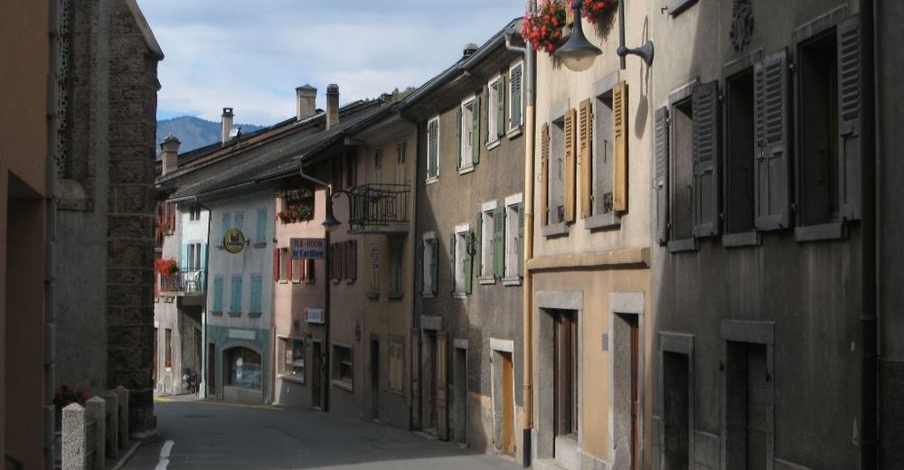
Another hour of hiking along the Dranse, and we will reach Sembrancher, where our way turns south again, now along the Dranse d´Entremont into the valley d´Entremont. We now mount up continuously until we reach todays destination Orsières at 887 m.o.s.
Note(s)
The «Via Francigena» is one of the 3 main christian pilgrimage trails of the Middle Ages, the main axis leading from Canterbury to Rome. This documentation currently covers the stretch from Pontarlier close to the F/CH border across Lausanne to Rome. - Highest point
- 900 m
- Endpoint
-
Orsière bei der Kirche
- Height profile
-
 © outdooractive.com
- Author
-
The tour Via Francigena: Martigny - Orsières is used by outdooractive.com provided.
GPS Downloads


General info
Refreshment stop
Cultural/Historical
A lot of view
Other tours in the regions
-
Thyon les Collons
1435
-
Verbier
336
-
Bovernier
97