


- Brief description
-
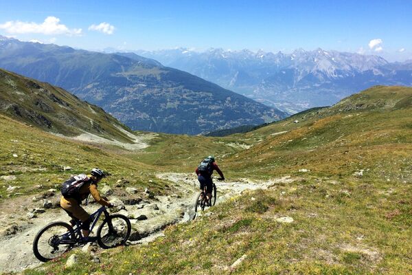
The trail from Col de Cou to the Rhone Valley via Nax has become one of the classic trails in the Swiss Alps. It got named "The Brazilian" by some journalists who came here to ride it a number of years back, but the locals have been riding it for a long time before it got international aclaim and a "cool" name.
- Difficulty
-
medium
- Rating
-
- Starting point
-
Cret du Midi
- Route
-
Le Pichioc3.9 kmNax (1,265 m)13.0 kmLe Vieux Chalet13.2 kmPramagnon18.6 kmGrün (513 m)19.5 kmRéchy23.0 kmSchalei (557 m)24.4 km
- Best season
-
JanFebMarAprMayJunJulAugSepOctNovDec
- Description
-
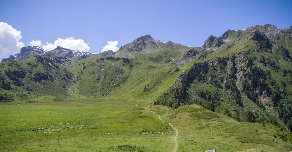
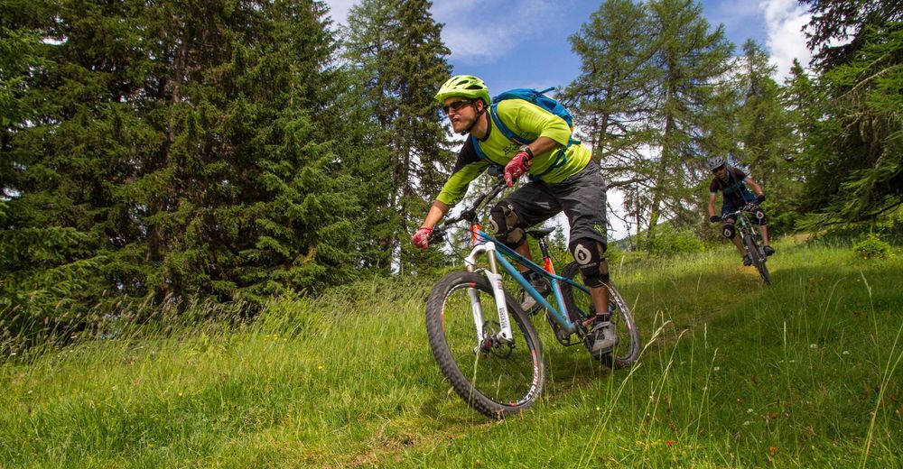
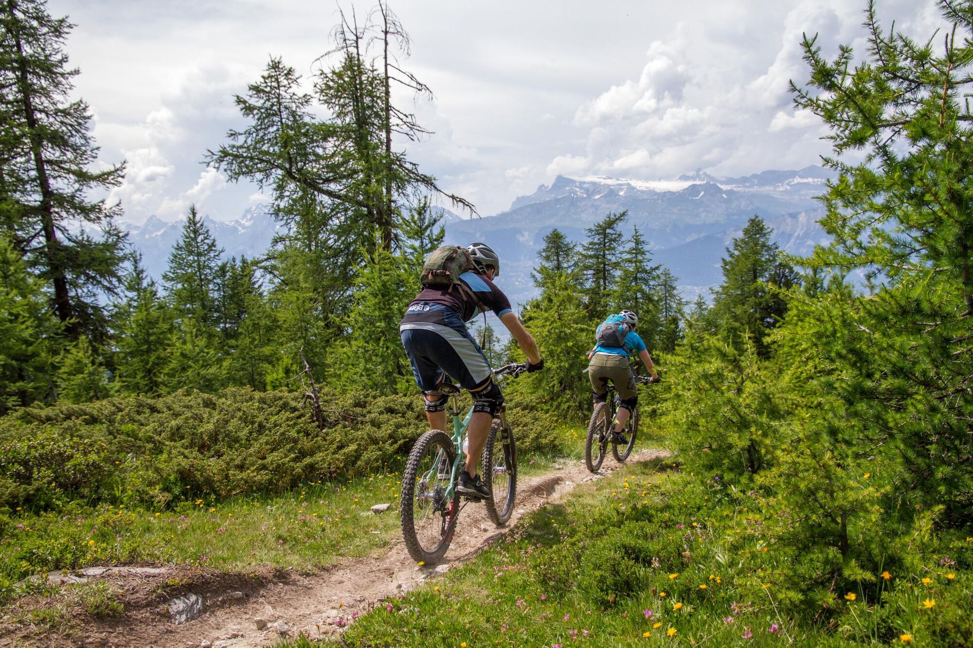
Col de Cou is a must do for all mountain bikers based in Switzerland. It's reputation precedes it and the almost 2000m of singletrail descent in gives it an almost legendary status. This trail is typical Wallis. It's been ridden a lot in the last few years and has suffered a little due to this, but some of the character does still exist. From Col de Cou the trail first descends over Alpine Meadows before dropping into the Woods and then finally swooping it's way down to the Rhone valley after passing Nax. This is one to get out and enjoy...
- Directions
-
From Cret du Midi ride south on the unpaved road (you will go a short distance up the hill to La Brinta) to the entrance of the singletrail which descends to the right of the ridge towards point 2176 on the 1:25000 map where the trail joins an unpaved road.
Follow the unpaved road to the south to Le Pichioc and then take the trail to the right that crosses the moorland. From here you will start the 350m hike-a-bike to Col de Cou and the start of the tail.
From the pass ride west towards La Combe where you will join an access road for a short distance. A trail continues straight on from the first switchback in the road and continues going roughly west before veering northwest and dropping into the woods. Keep following the trail downwards and following signposts towards Nax.
In Nax ride through the town and climb a short distance towards Pelleivro and take the singletrail heading northeast after about 500m the trail curves around to the left and shortly after there a right turn which will bring you to the hiking trail to Leiretta and Pramagnon. Keep following the trail down to Pramgnon and then before getting to the road where you can turn right and ride back to Chalais.
- Highest point
- 2,514 m
- Endpoint
-
Chalais
- Height profile
-
 © outdooractive.com
 - Equipment
-
An "All Mountain" or "Enduro" style bike and knee pads is well suited to this trail.
- Safety instructions
-
There is no severe exposure or other risks on this trail, but it is still one that is better attempted by experienced mountain bikers.
- Additional information
- Directions
-
Through the Lötschberg tunnel (load car on the train) or over the Furkapass into Wallis. Drive towards Sion shortly after SIerre follow signs for Chalais.
- Public transportation
-
Train to Sierre and ride to Chalais. From Chalais lift to Vercorin and then a second lift to Cret du Midi.
- Parking
-
Parking is available at the valley station in Chalais.


-

-
AuthorThe tour Col de Cou (The Brazilian) is used by outdooractive.com provided.


Surfaces
General info
-
Thyon les Collons
182
-
Mont-Noble / Nax
78
-
Grône
32