© Pays du St-Bernard - Gaëtan Tornay

© Pays du St-Bernard - Gaëtan Tornay

© Pays du St-Bernard - Gaëtan Tornay

© Pays du St-Bernard - Gaëtan Tornay


- Difficulty
-
difficult
- Rating
-
- Route
-
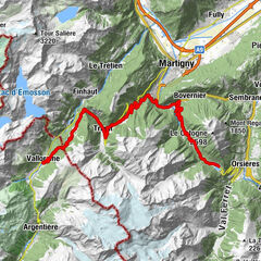
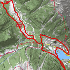
La Poya0.1 kmChampex d'en bas2.0 kmChampex d'en haut2.9 kmChampex-Lac4.6 kmIssert10.3 kmLes Arlaches11.7 kmChapelle de Praz-de-Fort12.3 kmPraz-de-Fort12.4 kmLe Chanton12.9 kmSaleinaz13.1 kmBranche d'en Bas15.5 kmBranche d'en Haut16.1 kmPrayon17.4 kmLa Verne18.0 kmEdelweiss20.7 kmAuberge de la Fouly20.8 kmAuberge des Glaciers20.8 kmLa Fouly20.9 kmLe Clou21.8 kmLes Granges22.3 kmHôtel du Col de Fenêtre23.5 kmFerret23.5 kmLa Peule (2,071 m)27.8 km
- Best season
-
JanFebMarAprMayJunJulAugSepOctNovDec
- Directions
-
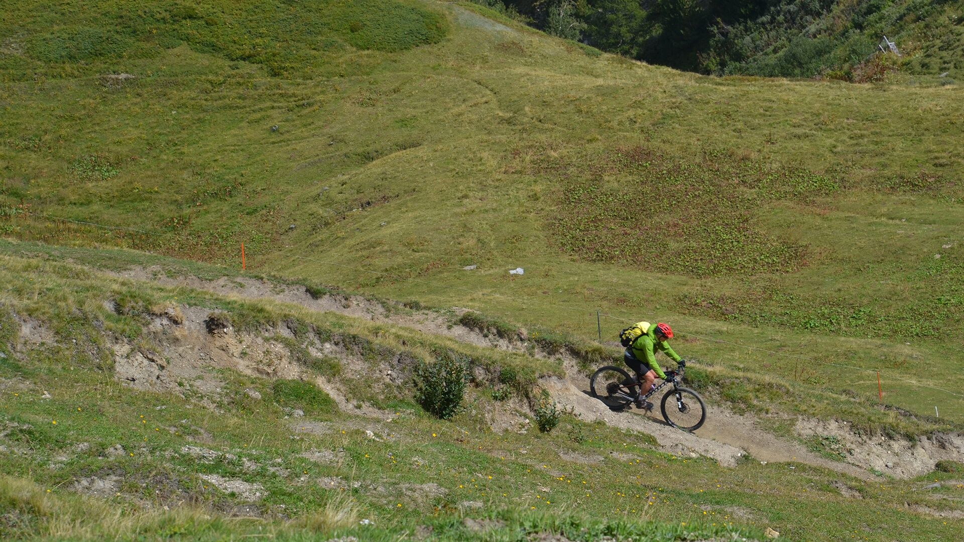
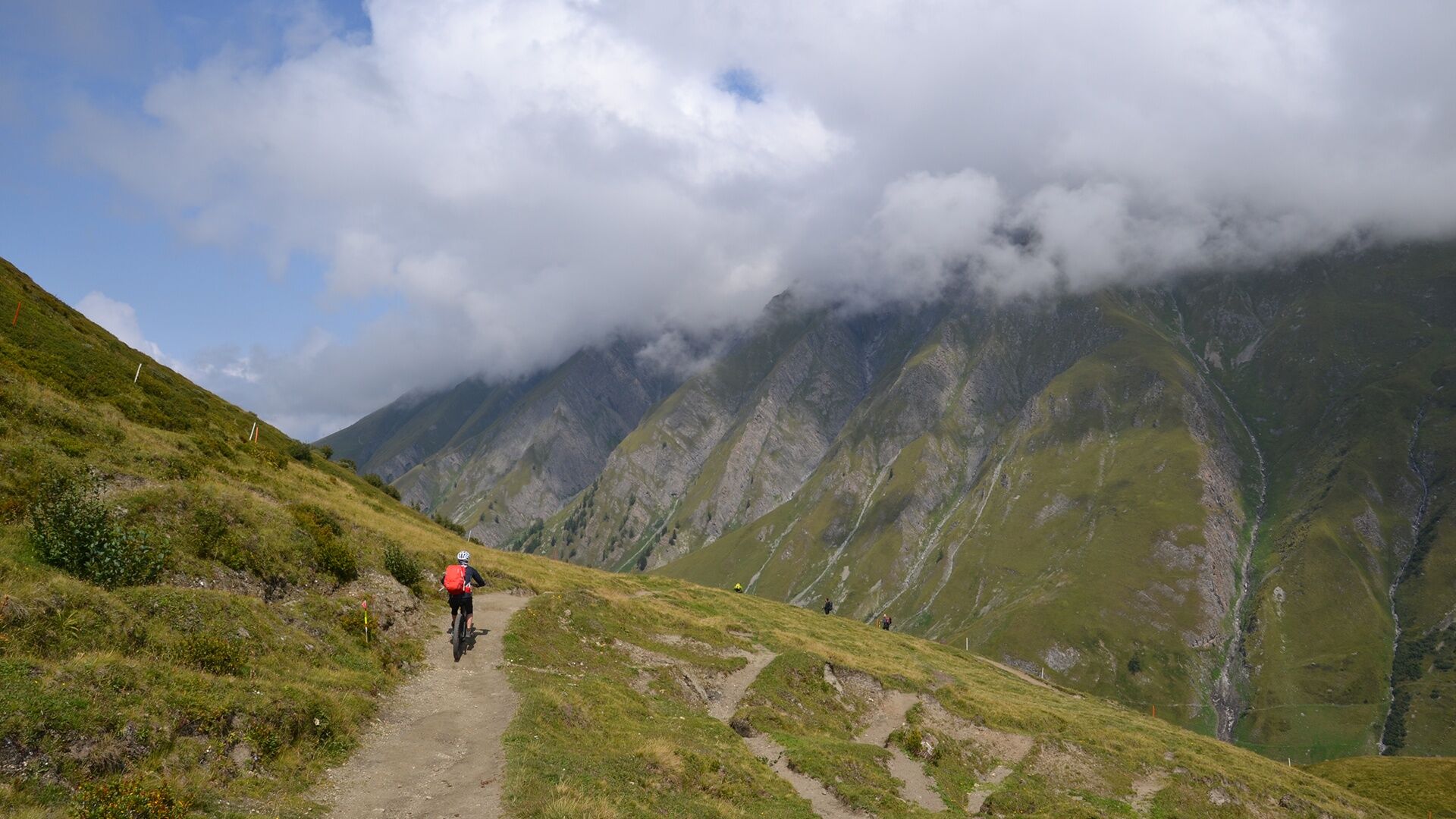
Ride a part of the famous Tour du Mont-Blanc by mountain bike! From the picturesque village of Champex-Lac (1'470m) to the Italian border (2'537m), the route passes through the villages of Issert, Praz-de-Fort and La Fouly. After a break at the mountain pasture of La Peule (2'070m), continue your ascent to the Grand Col Ferret (2'537m), at the Italian-Swiss border. It is possible to do this route in the other direction.
- Highest point
- 2,533 m
- Height profile
-
 © outdooractive.com
 - Safety instructions
-
For your safety, we strongly recommend that you wear a helmet.
- Public transportation

- Author
-
The tour Tour du Mont-Blanc is used by outdooractive.com provided.
GPS Downloads


General info
Refreshment stop
Cultural/Historical
A lot of view
Other tours in the regions
")