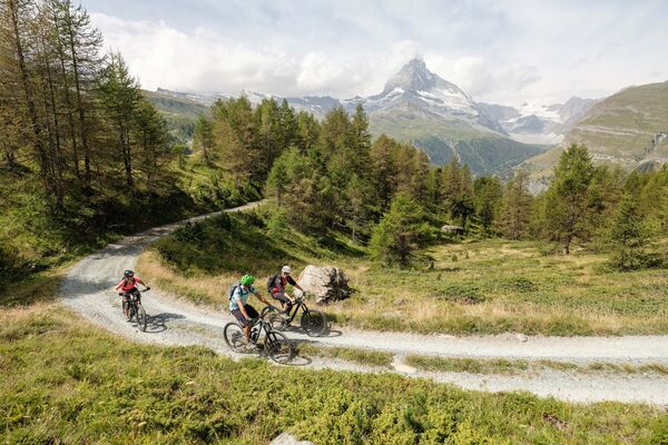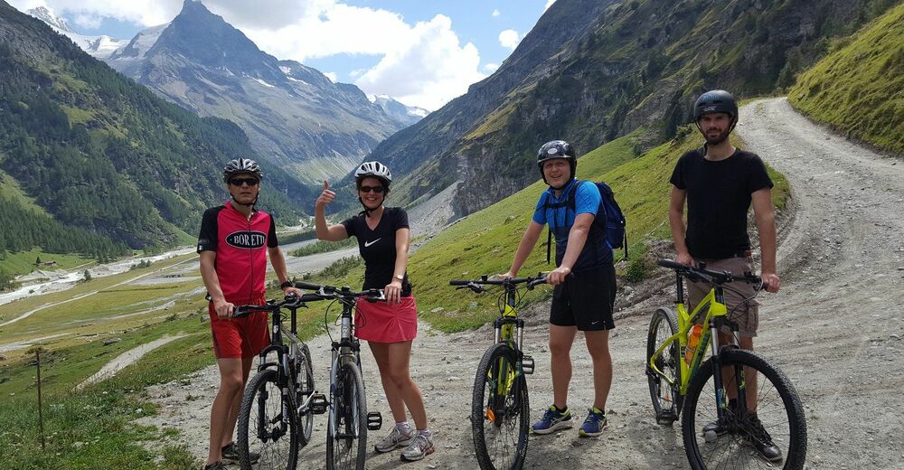
© Intersoc Belgium - Joris Hollebosch

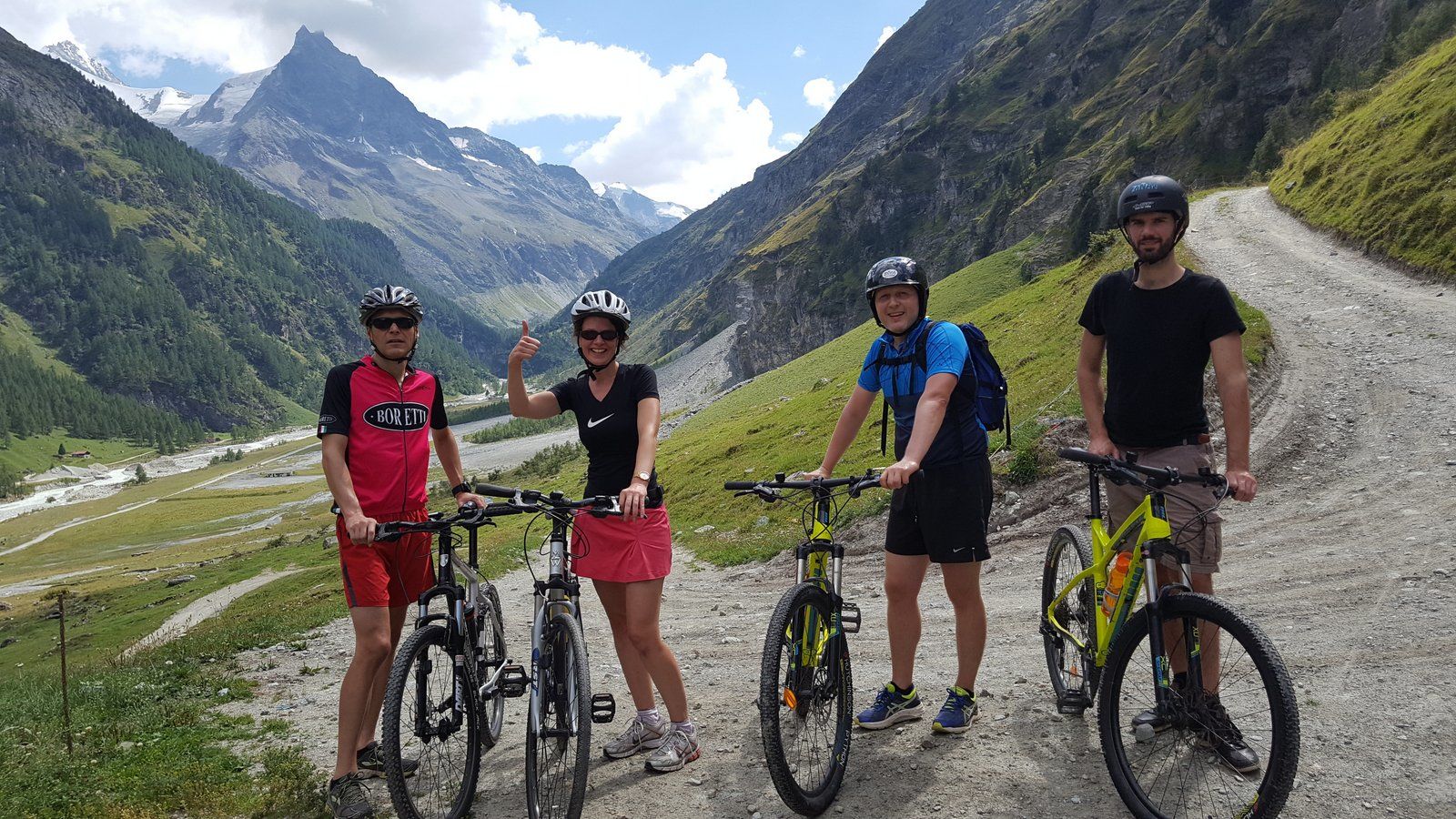
© Intersoc Belgium - Joris Hollebosch


- Brief description
-
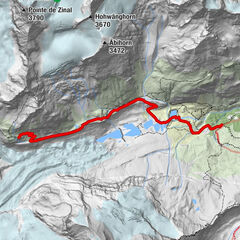
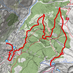
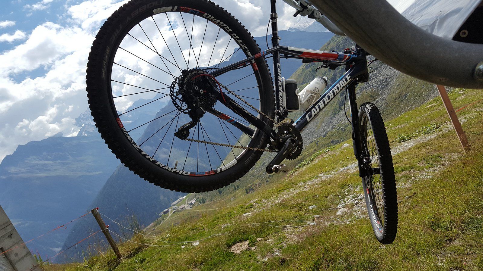
VTT - Sorebois
- Difficulty
-
medium
- Rating
-
- Route
-
Zinal (1,675 m)0.0 kmSorebois6.5 km
- Highest point
- 2,435 m
- Height profile
-
 © outdooractive.com
- Author
-
The tour ZIN-MTB - Sorebois is used by outdooractive.com provided.
GPS Downloads


Other tours in the regions
-
Unterwallis
142
-
Sierre Anniviers
116
-
Zinal
19