


- Brief description
-
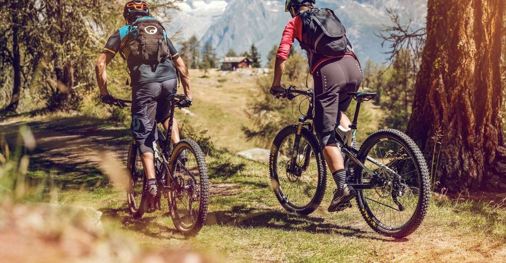
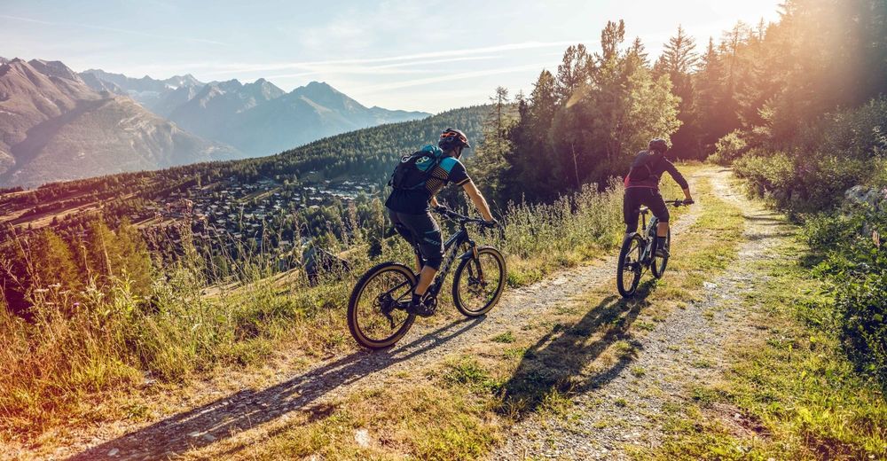
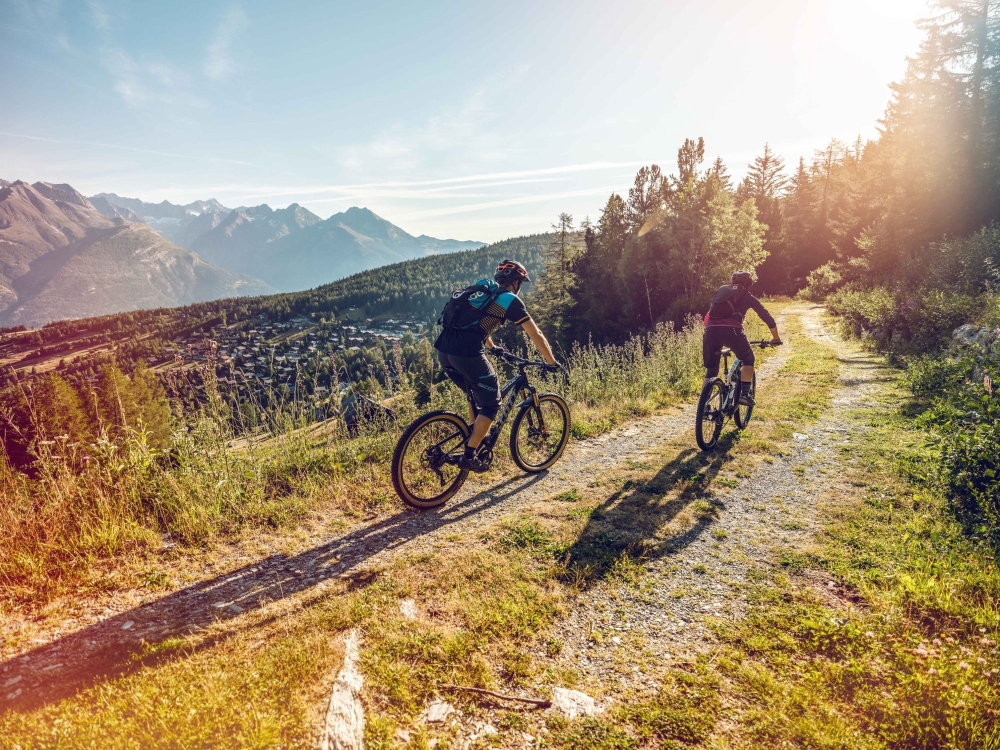
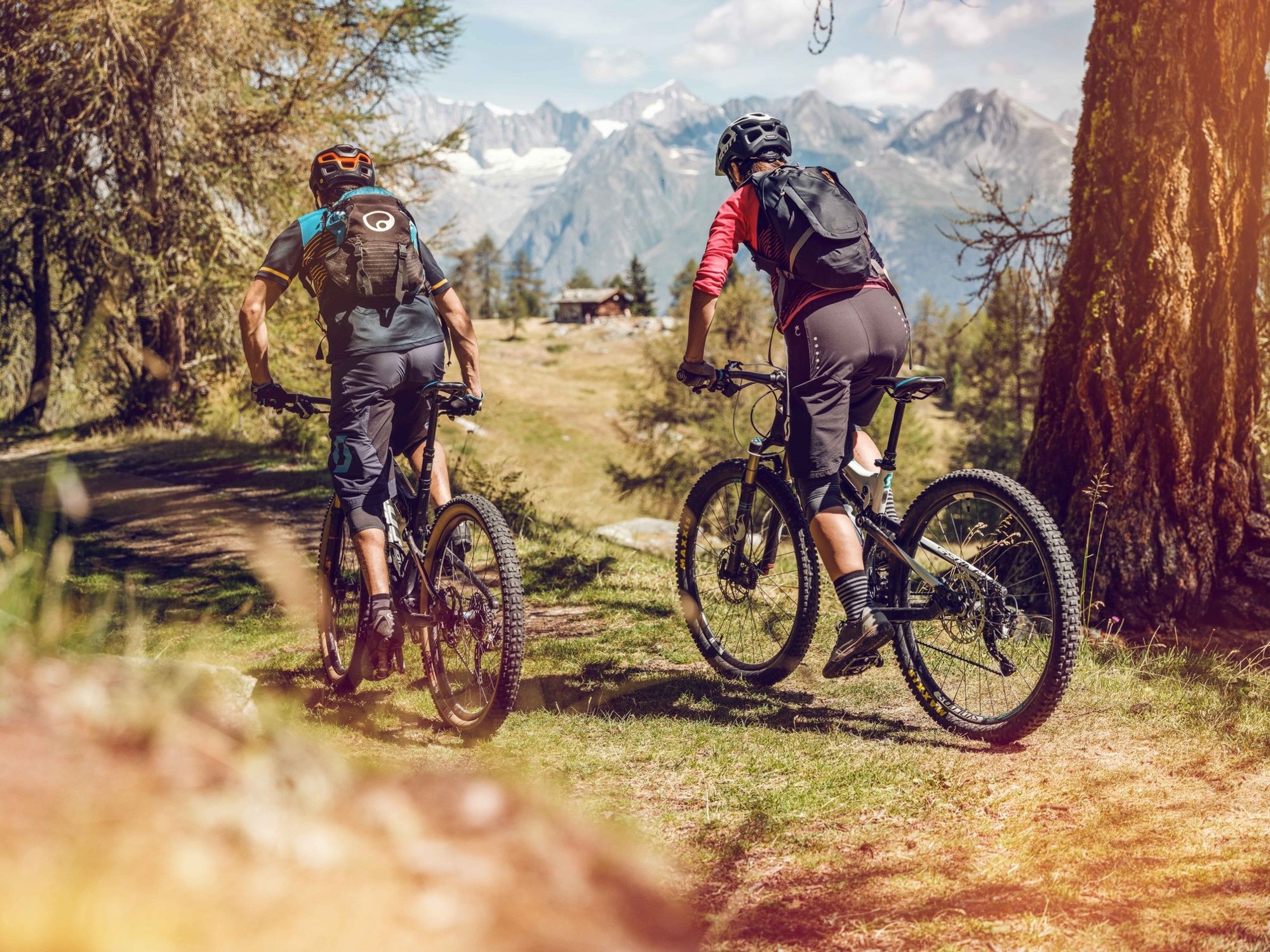
An impressive circuit tour through Alpine pastures, larch forests and mountain villages, with tough climbs, flowing descents and amazing view of the surrounding 4,000-metre peaks.
- Difficulty
-
difficult
- Rating
-
- Starting point
-
Bürchen
- Route
-
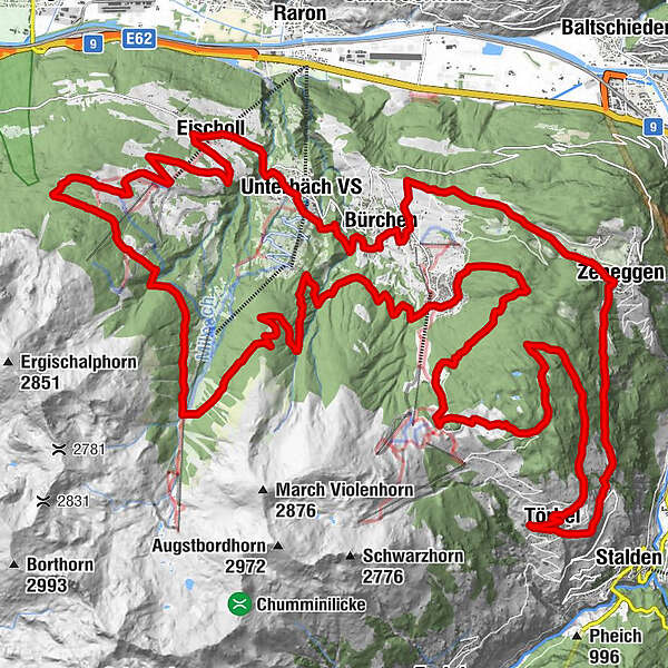
Zenhäusern0.0 kmAlpenrösli0.0 kmBürchen (1,338 m)0.7 kmHotel Bietschhorn3.4 kmUnterbäch VS (1,221 m)3.5 kmKapelle Brumbiel5.2 kmRestaurant Schwarzhorn5.4 kmEischoll5.5 kmHahnenviertel5.7 kmStrygge8.7 kmStrygge8.9 kmUndri Senggalp (1,714 m)10.6 kmObri Senggalp (1,794 m)12.2 kmUndri Eischollalp13.1 kmSeewustafel13.3 kmUnners Sänntum (1,990 m)16.4 kmKapelle im Ginals16.4 kmBergrestaurant Ginals16.4 kmPizzeria Mamma Mia25.4 kmHostettu35.9 kmBina36.8 kmWeisshorn37.6 kmTörbel (1,497 m)37.7 kmBistrotto38.6 kmKirche St. Theodor38.6 kmMarienkapelle40.4 kmBurgen40.4 kmGstei42.0 kmGstei42.3 kmBlatt42.4 kmWicheried42.6 kmZeneggen (1,367 m)43.3 kmMittleri Hellela45.7 kmUnnri Hellela45.9 kmBürchen (1,338 m)47.7 kmZenhäusern48.0 kmAlpenrösli48.1 km
- Best season
-
JanFebMarAprMayJunJulAugSepOctNovDec
- Description
-
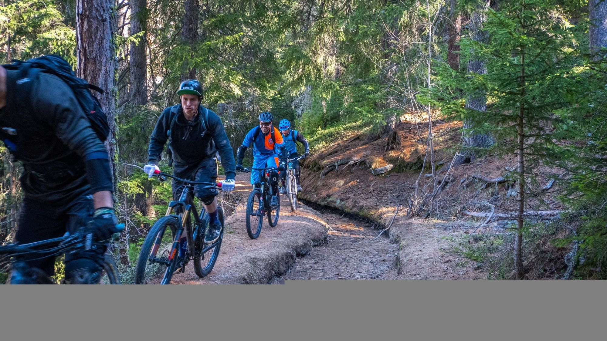
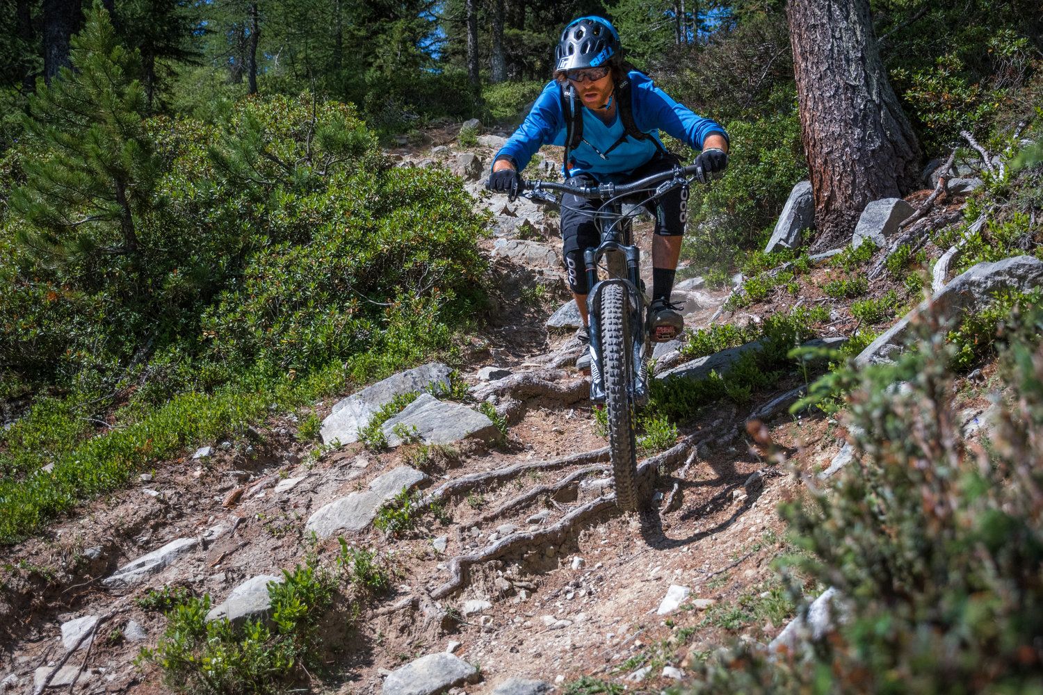
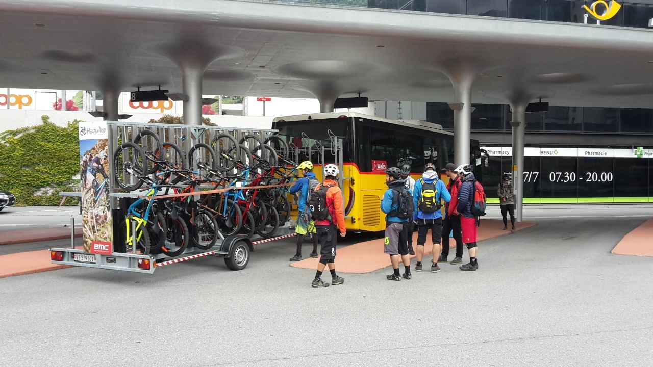
First take the Postauto from Visp to Bürchen, where the tour begins. After a short stretch of trail leading to Unterbach, the tour passes through Schlüechtgartu to Eischoll. It then crosses through the heart of the village before heading up to the mountain station of the Striggen chairlift and on to Ginals. Without ever losing sight of the majestic Bietschhorn, the route continues to Gibidum, from where the famous and particularly steep "Magic Trail" descent winds down to Brandalp. The tour then heads back to Bürchen via a gravel road. If you still have strength in your legs, you can then cycle the roughly 500 altitude metres to Moosalp – if not, you can make the journey via Postauto. The trail fun starts at Moosalp: a flowing single trail leads through a beautiful larch forest to Zeneggen via Törbel. A climb through the Mittlere Hellela nature reserve takes you back to Bürchen. There are excellent trails available from Zeneggen or Bürchen to make the journey back to Visp.
- Directions
-
The route is signposted in one direction only: Bürchen -> Unterbäch -> Eischoll -> Ginals -> Brandalp -> Bürchen -> Moosalp -> Törbel -> Zeneggen -> Bürchen
- Highest point
- 2,105 m
- Endpoint
-
Bürchen
- Height profile
-
 © outdooractive.com
 - Equipment
-
We recommend: a bike in excellent working order, a helmet, gloves and a bell, clothing suitable for the weather (always carry a waterproof), food and drink.
- Safety instructions
-
Use marked bike trails and routes only, making sure you observe all signposting. Kindly close gates after passing through. Please be considerate to walkers, as well as to plants and animals. As a rule, walkers have priority. When planning, take into account participants’ fitness level and ability. All riding is at one’s own risk.
- Tips
-
It’s worth visiting the “Urchigs Terbil” open-air museum in Törbel to get an insight into daily life in the Valais mountain village of yesteryear.
- Additional information
- Directions
-
Ideally go to Visp.
- Public transportation
-
You can travel to our region comfortably and sustainably by public transport. Regular rail connections to Visp from across Switzerland. Continue by postal bus to Bürchen.
- Parking
-
Parking spaces available at Visp railway station, direct connection by postal bus to Bürchen.

- Author
-
The tour Moosalp Plateau Bike is used by outdooractive.com provided.


Surfaces
General info
-
Oberwallis
210
-
Unterbäch
108
-
Bürchen
26