
- Brief description
-
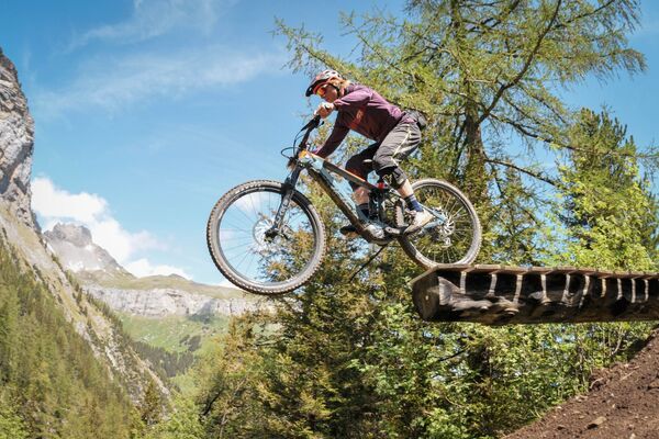
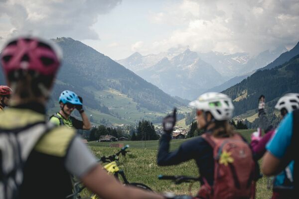
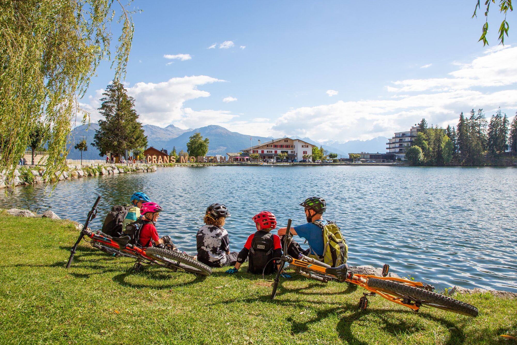
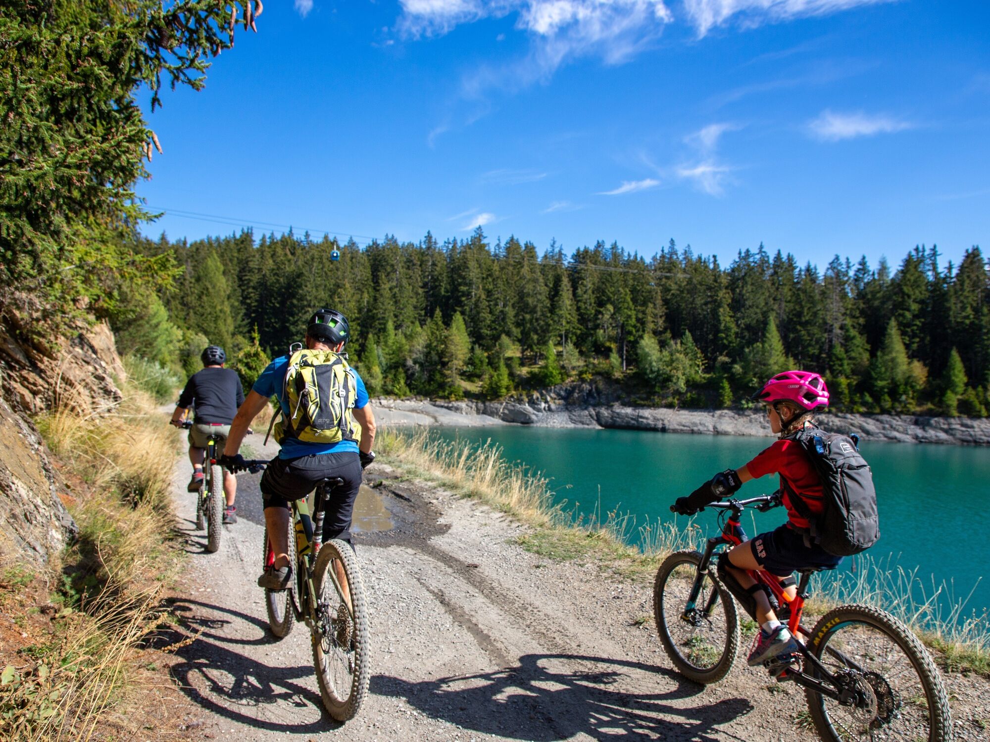
This mountain bike ride up to the Hauts de Crans is ideal for conditioning your legs while you discover the resort and enjoy the extraordinary views. Possible start from Crans-Cry d'Er car park.
- Starting point
-
Moubra lake, Route de la Moubra
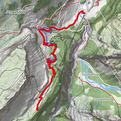
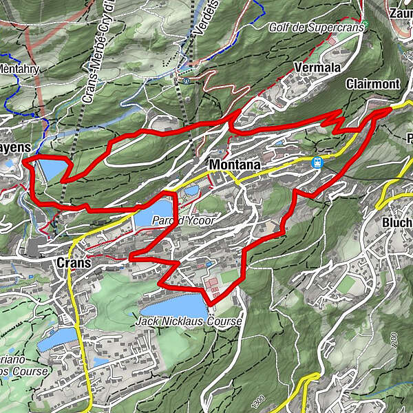
- Route
-
Crans (1,476 m)0.8 kmPlans-Mayens2.6 kmMontana (1,495 m)4.4 kmClairmont5.9 kmOrzière6.2 km
- Directions
-
Departure from Moubra lake - Lac Grenon via Route des Sommets de Crans - Chermignon lake via Route du Zotzet - Clinique Genevoise via Route Cliva-Ratire and Route de Clairmont - Marigny - Arrival at the Moubra lake via Route de la Prairie.
- Highest point
- 1,630 m
- Endpoint
-
Moubra lake, Route de la Moubra
- Height profile
-
 © outdooractive.com
 - Additional information
- Directions
-
To reach Crans-Montana by car, take the exit of the A9 motorway (Rhône motorway) called "Sierre ouest". At the motorway exit, turn left and follow the signs for "Sierre". At the roundabout, turn right. Continue for 500 metres, then at the entrance to Sierre, turn left following the signs for "Crans-Montana".
Take the Route de Crans-Montana to the junction of the former pneumology centre.
Follow then the Route de la Moubra on your right and take the second exit at the roundabout towards Lac Moubra.
The journey takes about 20 minutes.
From Crans-Montana: Go to the centre of Montana and drive down the Route de la Moubra to Lake Moubra.
- Public transportation
-
The resort of Crans-Montana is easily accessible from Sierre station with the SMC bus company or the funicular and from Sion station with the bus company CarPostal.
Moreover, the free shuttle buses of the SMC bus company serve the whole resort of Crans-Montana.
The nearest stop to this ride by shuttle bus is: La Moubra, line 433.
- Parking
-
Free parking is available at La Moubra.
- Author
-
The tour Hauts de Crans Bike is used by outdooractive.com provided.


-
Thyon les Collons
182
-
Crans - Montana
129
-
Lens
25