
- Brief description
-
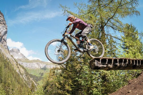
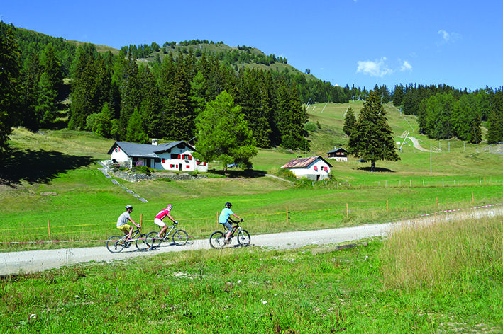
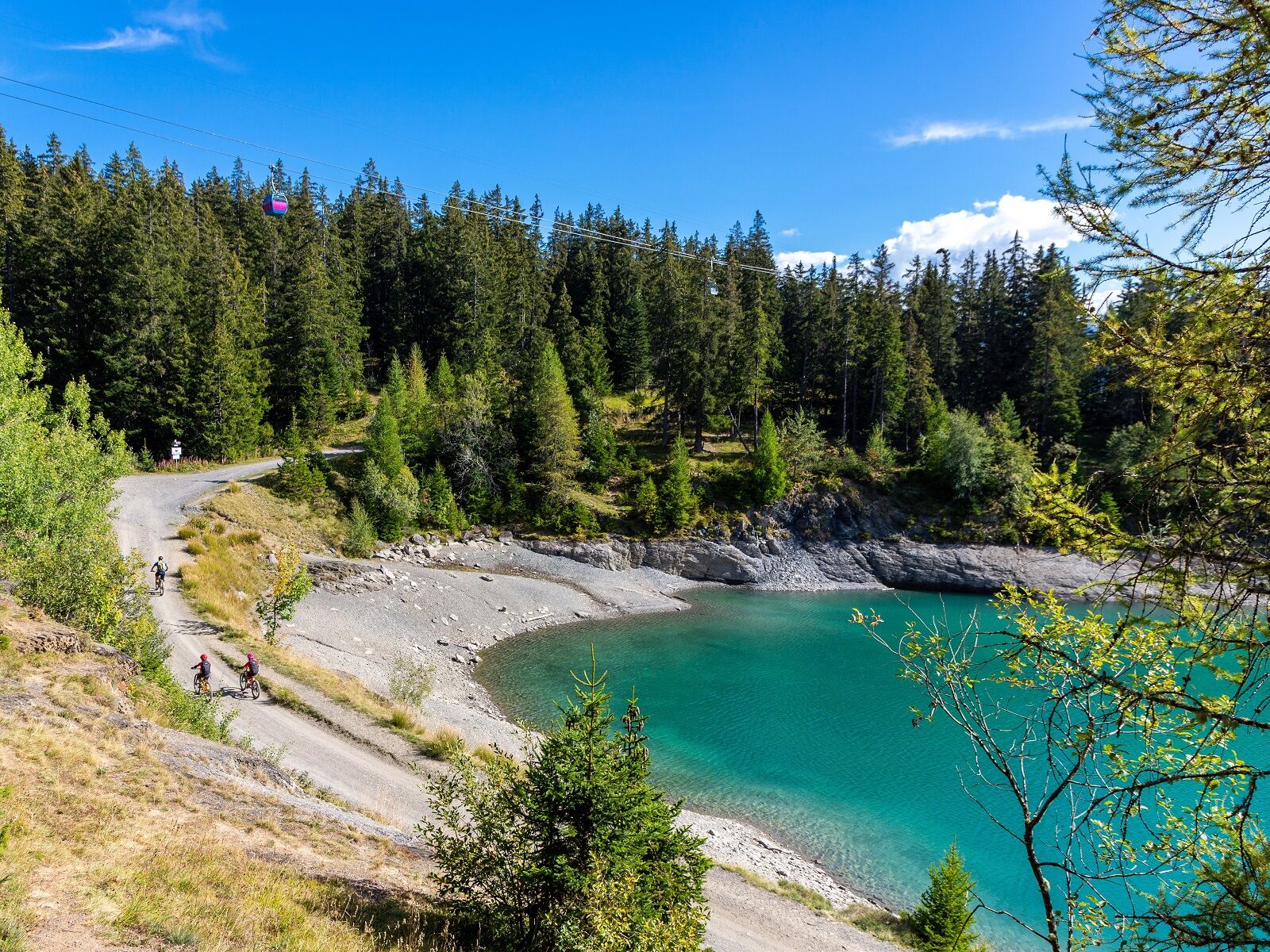
This ride, which takes you from the resort to the surrounding pastures, is a last test before you tackle the more difficult routes. It is a mix of all kind of terrains: asphalt, beaten earth and paths.
- Difficulty
-
medium
- Rating
-
- Route
-
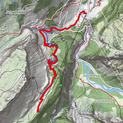
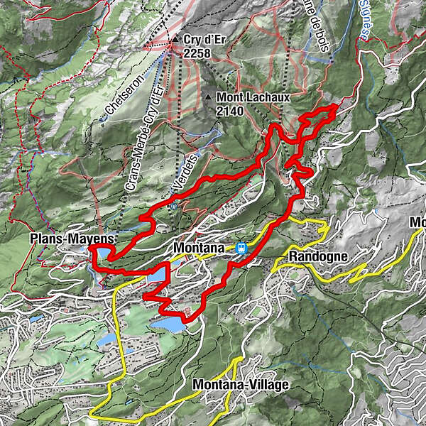
Crans (1,476 m)0.8 kmMontana (1,495 m)1.2 kmPlans-Mayens2.6 kmLe Tsaumiau9.0 kmZaumiau9.5 kmLa Comba10.1 kmClairmont10.2 kmOrzière10.4 kmMontana (1,495 m)11.0 km
- Description
-
This 12 km excursion between the resort and upper pastures, of medium difficulty, is a last test before attacking the more difficult routes on offer in Crans-Montana. The route offers a good compromise between all terrains: tarmac, beaten earth and paths.
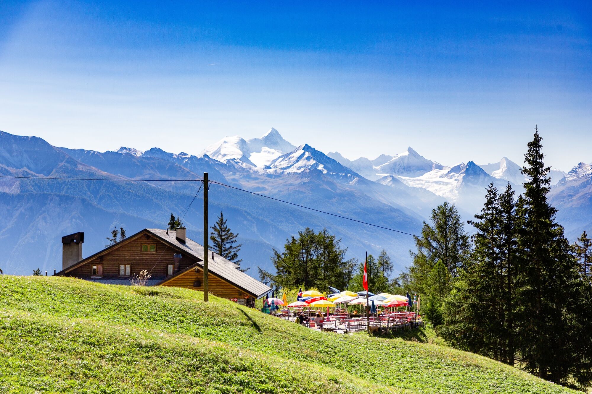
The itinerary is a loop. It starts at Lake Moubra and takes you up to the resort of Crans-Montana. After passing by Lake Grenon, you attack the uphill to the pastures, towards Arnouva, where you can ski in winter. From this point, it is possible to detour to the Corbyre alpine pasture where you can taste different local cheeses. After pedalling to Courtavey and crossing the mayen area, you go back down via Plumachit and Barzettes back to the departure point, and why not refresh yourself and relax at the Lake Moubra beach which lends itself to swimming. Here you'll find two restaurants with very welcoming terraces. A large part of the route is on surfaced roads and beaten earth tracks. They cross the resort, forest areas and pastures. Stops can be made in several places en route, for example at the restaurant Arnouva.
- Highest point
- 1,758 m
- Endpoint
-
Lac de la Moubra, Route de la Moubra
- Height profile
-
 © outdooractive.com
 - Equipment
-
Helmets are mandatory.
Knee and elbow pads and backprotection are recommended.
- Safety instructions
-
Along the course, you’ll meet hikers, dog walkers, horse riders,etc., so be cautious and respect others !
Individuals use the course at their own risk
We accept no liability for any accidents.
- Additional information
- Directions
-
To reach Crans-Montana by car, take the exit of the A9 motorway (Rhône motorway) called "Sierre ouest". At the motorway exit, turn left and follow the signs for "Sierre". At the roundabout, turn right. Continue for 500 metres, then at the entrance to Sierre, turn left following the signs for "Crans-Montana".
Take the Route de Crans-Montana to the junction of the former pneumology centre.
Follow then the Route de la Moubra on your right and take the second exit at the roundabout towards Lac Moubra.
The journey takes about 20 minutes.
From Crans-Montana: Go to the centre of Montana and drive down the Route de la Moubra to Lake Moubra.
- Public transportation
-
The resort of Crans-Montana is easily accessible from Sierre station with the SMC bus company or the funicular and from Sion station with the bus company CarPostal.
Moreover, the free shuttle buses of the SMC bus company serve the whole resort of Crans-Montana.
The nearest stop to this ride by shuttle bus is: La Moubra, line 433.
- Parking
-
Free parking is available at La Moubra.
- Author
-
The tour Courtavey Bike is used by outdooractive.com provided.


-
Thyon les Collons
182
-
Crans - Montana
129
-
Sierre
41