
- Brief description
-
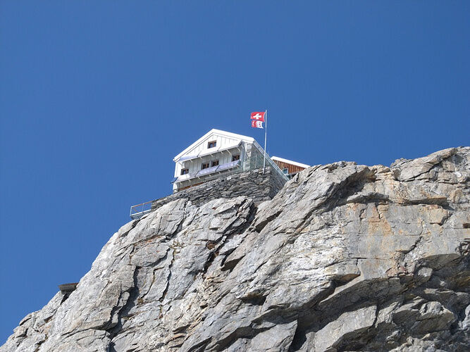
An Alpine mountain tour to the SAC Hollandia Hut (3,235 m above sea level)
- Difficulty
-
difficult
- Rating
-
- Starting point
-
Blatten, Post
- Route
-
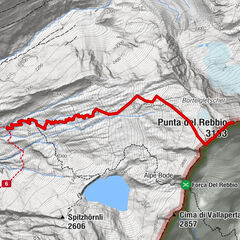
Gletscherstafel0.2 kmPeter Tscherrig Anenhütte5.2 kmHollandiahütte (3,238 m)10.2 km
- Best season
-
JanFebMarAprMayJunJulAugSepOctNovDec
- Description
-
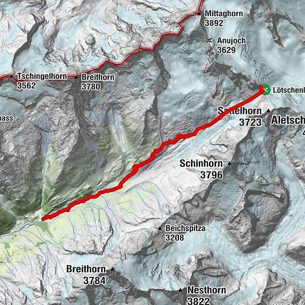
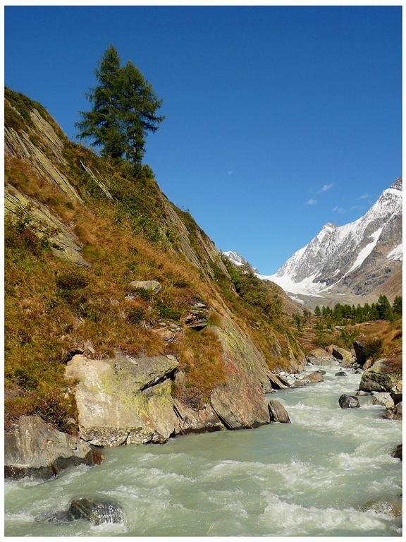
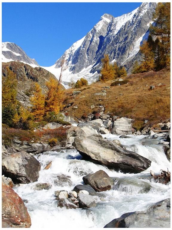
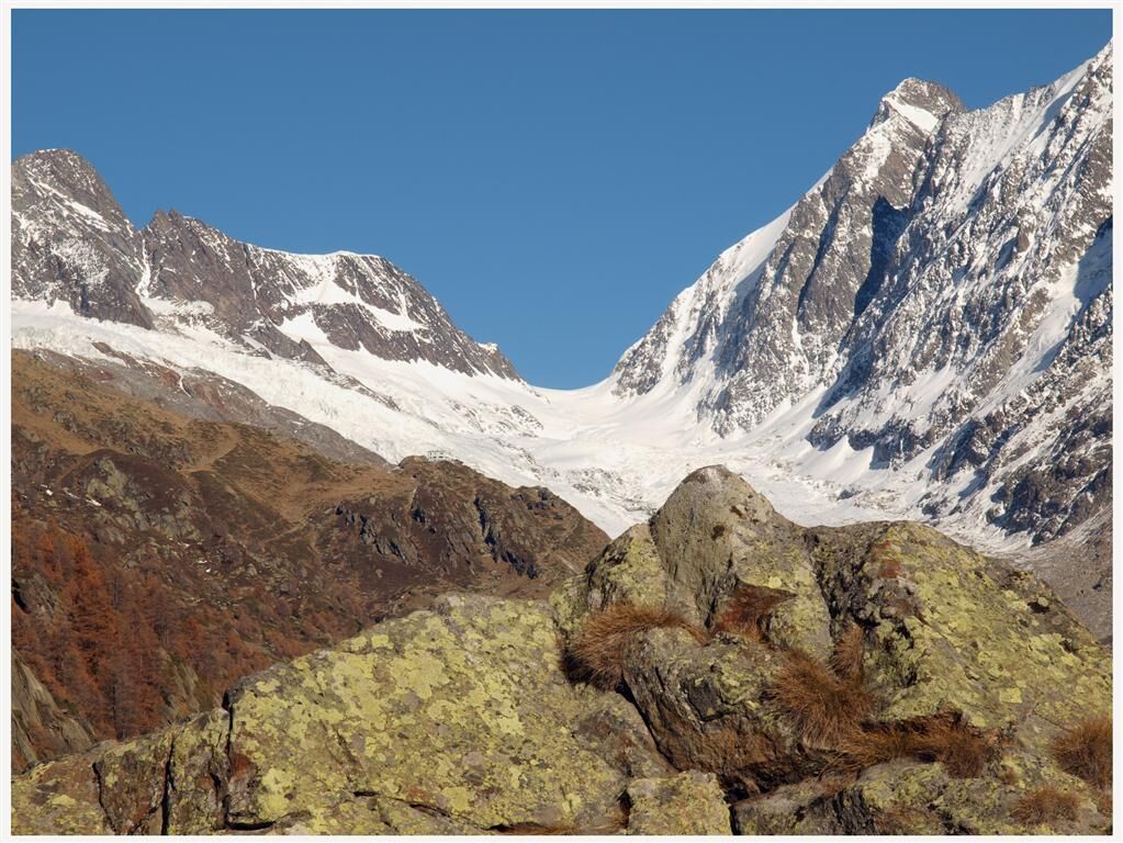
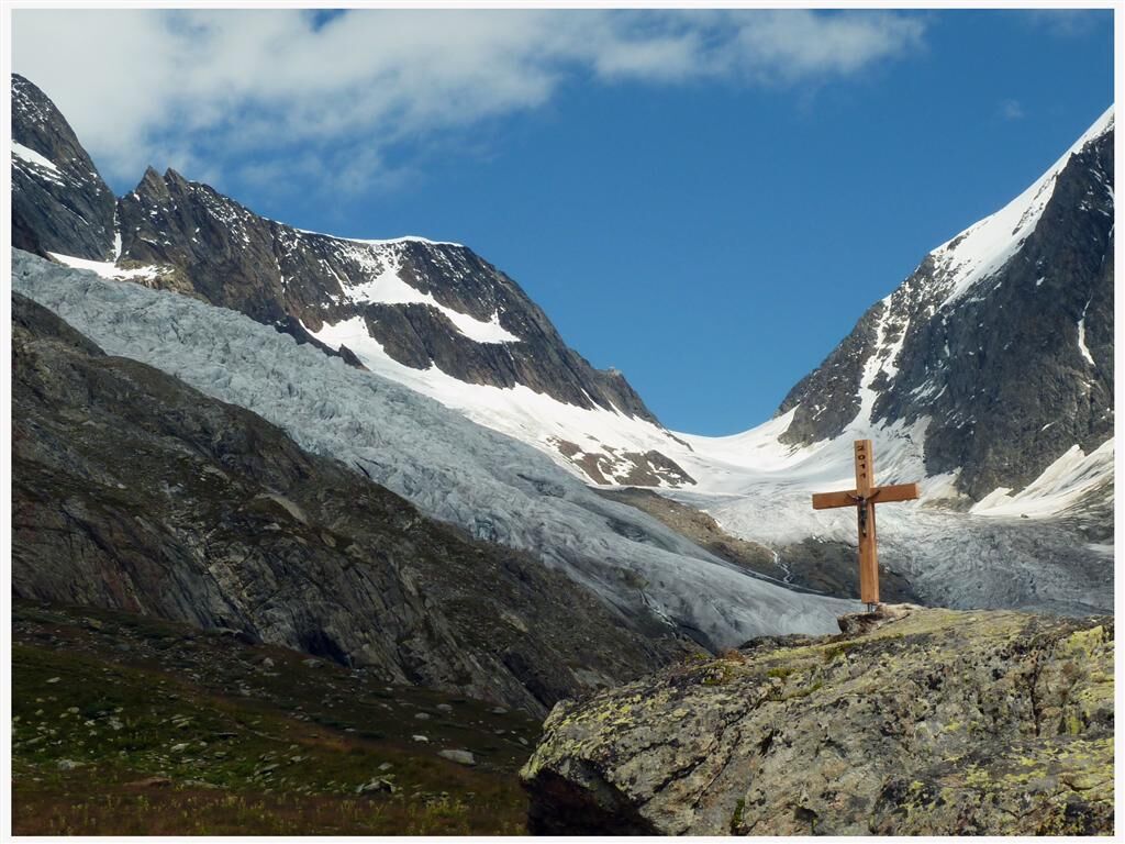
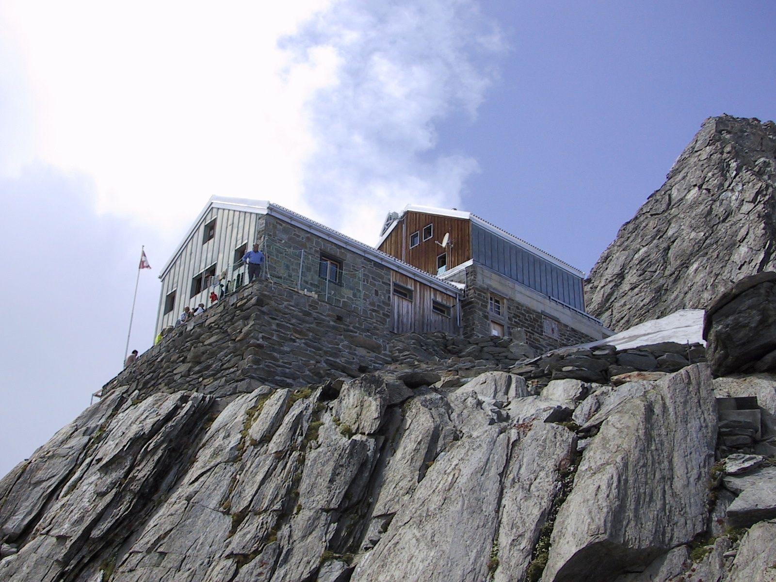
Start at Blatten and hike via Eisten to Kühmatt, a renowned pilgrimage site, home to the impressive baroque "Mariä Heimsuchung" Chapel (Visitation of Our Lady). The trail continues over wide pastures to the Fafleralp. The signposted mountain track leads from the Fafleralp past the Guggistafel Alpine huts to the "Guggisee" Lake. At 2,108 metres, a bridge crosses the Anenbach stream fed by the "Jägigletscher" Glacier and the route then becomes steeper. The Peter Tscherrig Anen Hut provides a splendid view over the entire Lötschental valley and its impressive surrounding glaciers. The ascent to the Lötschenlücke begins beyond the Peter Tscherrig Anen Hut. Cross the middle of the glacier "Langgletscher" at the end of the mountain path and climb underneath the steep cliff walls of the Schinhorn that fall down to the glacier and up to the Lötschenlücke, which can be seen from afar. The SAC Holladia Hut, which you will reach shortly, clings like an eagle’s nest to the rocks. The panoramic vista from this high SAC hut is simply indescribable.
- Directions
-
Other possible ascents to the SAC Hollandia Hut: Blatten - Peter Tscherrig Anen Hut - Lötschenlücke - SAC Hollandia Hut Sphinxstollen - Konkordiaplatz - SAC Hollandia Hut
The SAC Hollandia Hut is starting point for many other tours:
SAC Hollandia Hut - Äbeni Flue SAC Hollandia Hut - Anujoch - Mittaghorn SAC Hollandia Hut - Grosser Aletschfirn - Konkordiahütte SAC Hollandia Hut - Lötschenlücke - Anenhütte SAC Hollandia Hut - Gletscherhorn SAC Hollandia Hut - Kranzberg SAC Hollandia Hut - Sattelhorn SAC Hollandia Hut - Aletschhorn - Highest point
- 3,213 m
- Endpoint
-
SAC Hollandia Hut
- Height profile
-
 © outdooractive.com
 - Equipment
-
The 1:25,000 scale hiking map is your perfect companion for an unforgettable day's hiking in the Lötschental. Available from the Lötschental Tourist Information Office in Wiler or online at www.loetschental.ch/webshop
- Safety instructions
-
High-level tour for sure-footed Alpine climbers.
Full Alpine climbing equipment (crampons etc.) is needed for this tour.
We recommend that a state-certified mountain guide accompanies you on this mountain tour
Plan your tour carefully
Ensure that you have a full set of appropriate equipment
Never embark on a tour alone
Inform friends, relatives, the mountain hut supervisor or the hotel porter of your proposed tour. Report back when you arrive at your destination.
Keep a constant eye on weather developments
Adhere to the principle: if in doubt, turn back! - Tips
-
The SAC Hollandia Hut:
3,235 metres above sea level
Overnight accommodation for 80 people
Starting point for the Äbeni Flue, Mittaghorn, Aletschhorn and many others
Hut phone number: Tel. +41 (0)27 939 11 35
Owned by SAC, Berne Division - Additional information
- Directions
-
Drive into the Lötschental from Goppenstein, past the villages of Ferden, Kippel, Wiler and Blatten as far as Fafleralp.
- Public transportation
-
The postbus runs every hour from Gampel/Steg or Goppenstein to Fafleralp
- Parking
-
You can park your car in the car park at Fafleralp.
- Author
-
The tour SAC Hollandia Hut is used by outdooractive.com provided.


General info
-
Aletsch Arena
38
-
Brig Simplon
10
-
Mürren - Schilthorn
18