


- Brief description
-
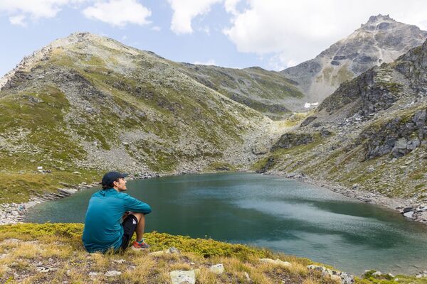
5-day walk through a valley steeped in tradition, its authentic villages and lush alpine meadows, culminating at the mountain refuge of Cabane des Becs de Bossons at 2,985 m.
- Starting point
-
Thyon/Les Collons (2103 m)
- Route
-
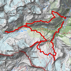
Thyon (2,095 m)0.1 kmcabane d'Essertze4.8 kmKapelle des Heiligen Jean-Baptiste15.6 kmHôtel du barrage15.8 kmL’Honorine (2,100 m)32.9 kmCascades d'Arolla (2,260 m)33.3 kmMont-Collon33.4 kmArolla (2,006 m)33.6 kmHôtel du Glacier33.7 kmTsalion34.3 kmLa Monta34.6 kmPra Grassette35.3 kmLa Lé35.4 kmPramousse35.5 kmSatarma36.5 kmPension du Lac Bleu37.5 kmOuartsé37.5 kmLa Gouille37.5 kmPralovin41.0 kmCafé-Restaurant la Cordée41.6 kmLes Haudères (1,454 m)41.7 kmLa Tinde45.2 kmLa Forclaz45.8 kmPlace de Son La Forclaz46.1 kmLes Coulayes47.0 kmTaillau47.2 kmL'Ecureuil - Café-restaurant et gîte alpin47.5 kmLa Sage47.5 kmPlan de Boë48.1 kmLa Tour VS48.8 kmLa Confraric49.2 kmLa Fauchère (1,386 m)49.9 kmEvolène (1,371 m)50.8 kmVolovron (1,760 m)53.7 kmBuvette58.0 kmL'a Vieille (2,370 m)58.1 kmPlan Levri59.0 kmPas de Lona (2,787 m)60.3 kmCabane Becs de Bosson (2,985 m)61.6 kmBec-de-Bossons61.7 kmCol de la Tsevalire61.8 kmNax (1,265 m)74.4 kmÉglise Saint-Maurice et Saint-Gothard74.9 km
- Description
-
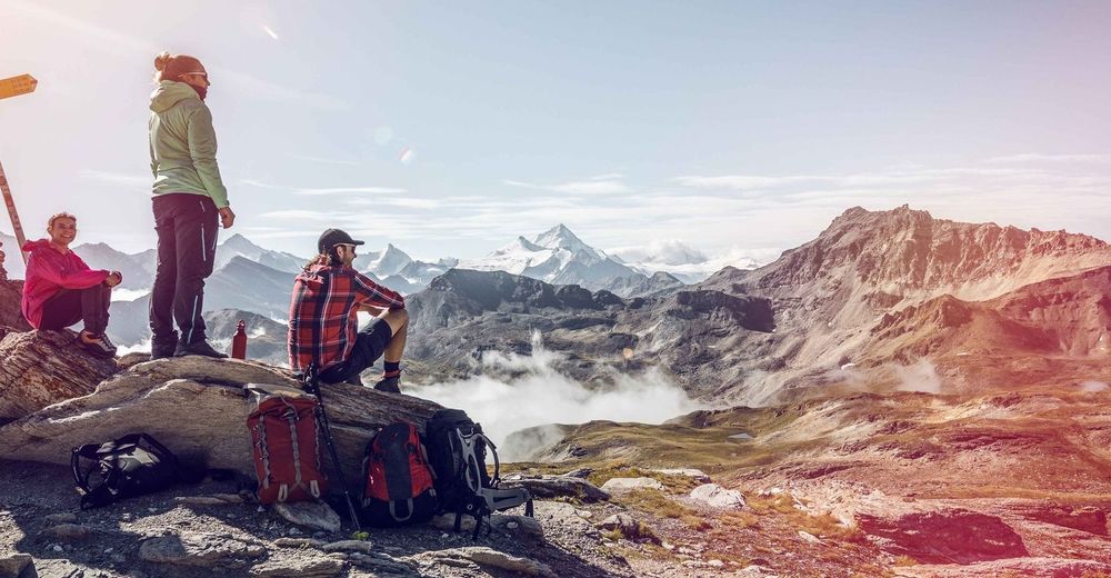
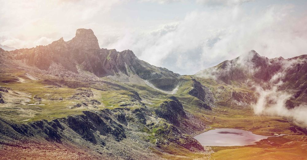
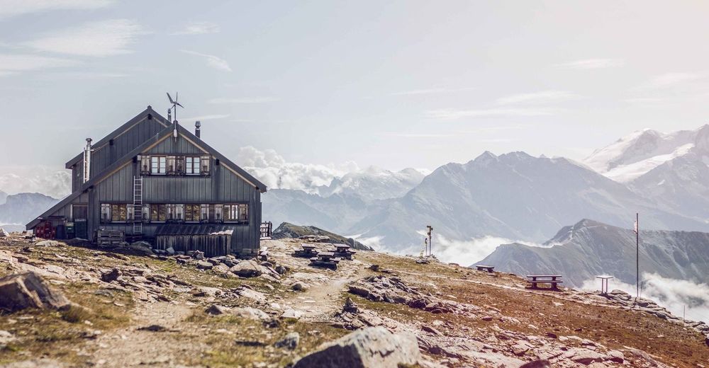
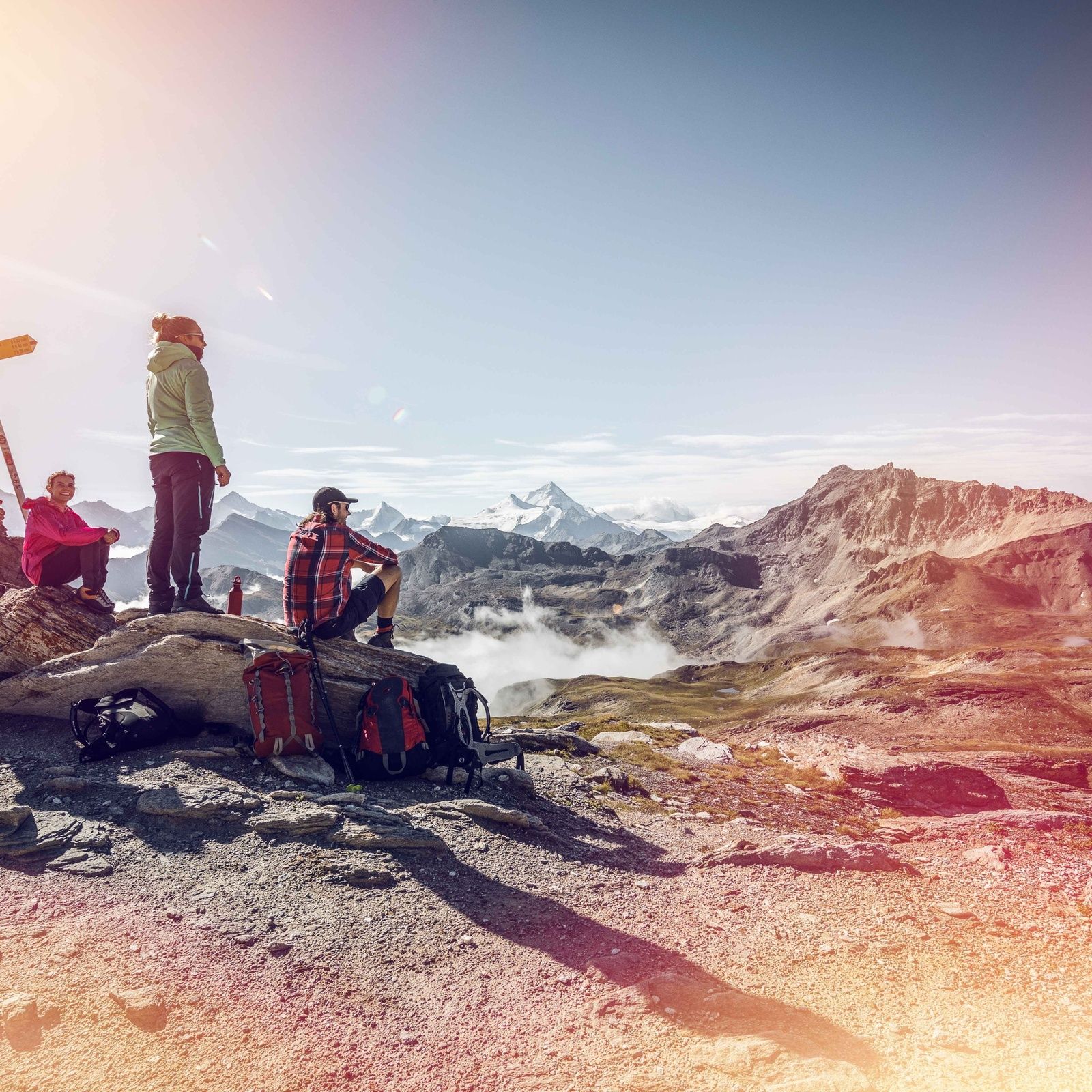
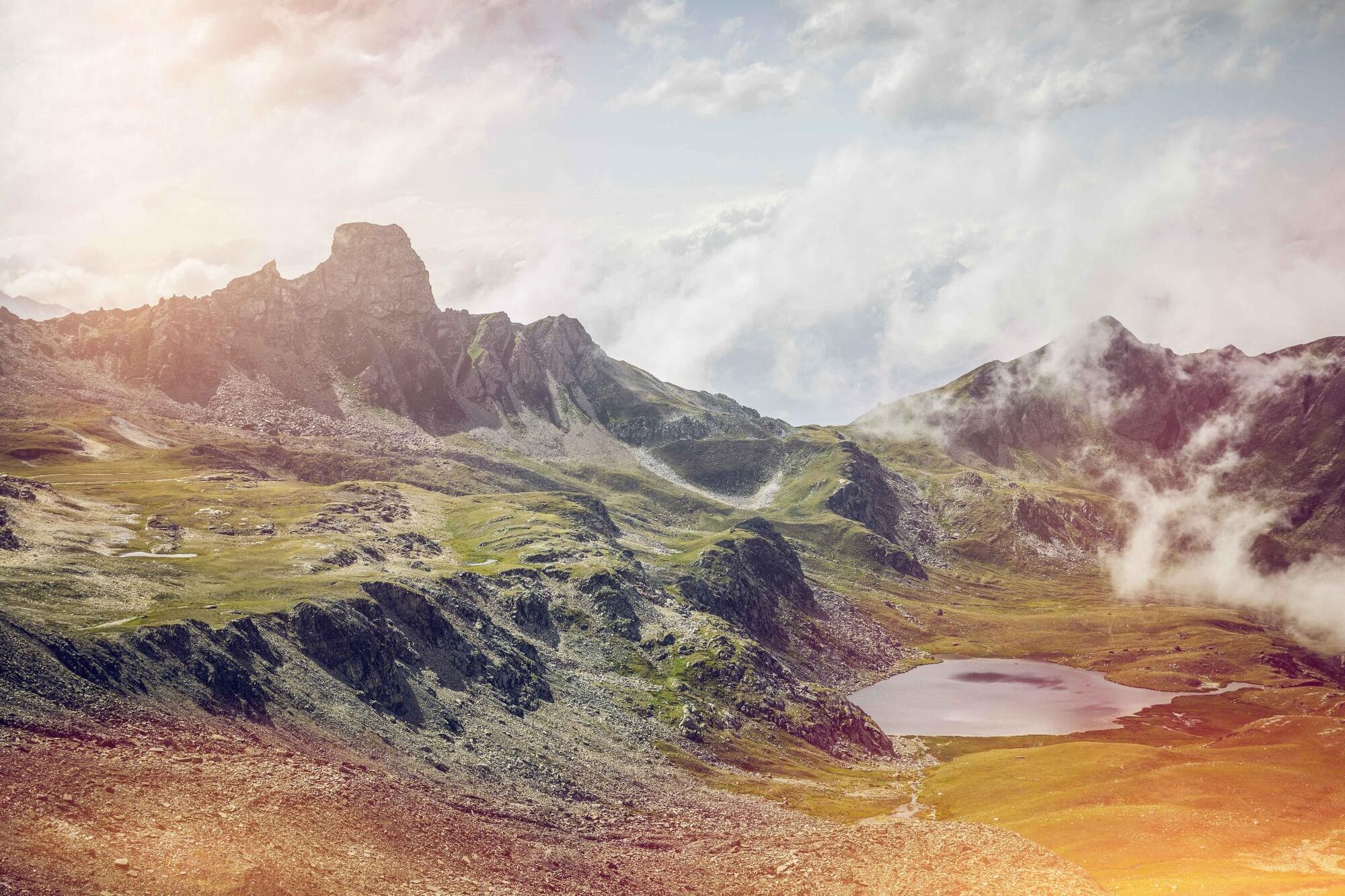
The first stage of the Val d‘Hérens Tour is a top-class panoramic hike against a dramatic backdrop of glaciated mountains. The route leads from Thyon past an idyllic high wetland, Les Gouilles d’Essertze, to Grande Dixence, the world’s tallest gravity dam. The second leg begins on the crest of the dam and follows the shores of the Lac des Dix before a steep climb to the legendary Col de Riedmatten and a descent to the village of Arolla. The third stage links the valley’s ancient villages, whose well-preserved hearts, full of historical charm, bear witness to traditional life in the Valais Alps. At Evolène, the fourth stage starts with a climb via alpine meadows and through forests to a high-altitude mountain refuge, the Cabane des Becs de Bosson: the highest point of the entire hike. After a night here, the final, fifth stage leads into the wild and pristine Vallon de Réchy and on to Nax, whose magnificent views have earned the village the nickname of “heaven’s balcony”.
- Directions
-
Discover the stages of Tour du Val d'Anniviers:
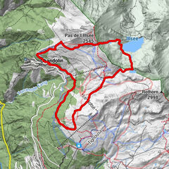
1st stage: Thyon – Grande Dixence 2nd stage: Grande Dixence – Arolla 3rd stage: Arolla – Evolène 4th stage: Evolène - Cabane des Becs de Bosson 5th stage: Cabane Becs de Bosson - Nax - Highest point
- 2,975 m
- Endpoint
-
Nax (1259 m)
- Height profile
-
 © outdooractive.com
 - Equipment
-
We recommend:
good footwear clothing suitable for the weather: always carry a waterproof jacket hat or cap sunscreen bottle for water picnic camera binoculars (optional) hiking poles (optional) printout of this hike (click “Print” icon, to download)For certain walks:
Swimwear - Safety instructions
-
Use of the trails and the information on this website is at hikers’ own risk. Local conditions may entail changes to routes. Valais/Wallis Promotion accepts no liability for the accuracy and completeness of information on this website.
For all hikes:
Bring a map. Download full description of this route including large-scale map by clicking on “Print” icon, top right of this page. Use marked trails only, and observe all signposting – for your own safety, to safeguard grazing animals and to avoid disturbing wildlife. Close gates after passing through. Please be considerate to other trail users, and to the plants and animals. Do not leave any waste in nature.For mountain hikes:
Take extra care protecting yourself from the sun at altitude. UV radiation can be exceptionally strong, even in cloudy weather. Plan hike carefully: take into consideration fitness level of each participant, weather forecast and season. Weather conditions can change quickly in the mountains, without warning. Appropriate clothing is therefore essential, along with adequate supplies of food and water. In uncertain weather, turn back in good time.For high-altitude hikes:
Inform others of the route you plan to take. Whenever possible, avoid going alone. Do not venture onto glaciers without a mountain guide. Take note of the warning signs that point out the constant danger in river beds and along watercourses below dams and reservoirs: water levels may rise rapidly without warning. - Tips
-
Stop to admire the Euseigne rock pyramids on your journey into the Val d’Hérens, find out about the Grande Dixence and its history at the visitor centre, and bring a pair of binoculars to observe the wildlife in the Vallon de Réchy.
- Additional information


-

-
AuthorThe tour Tour Val d'Hérens is used by outdooractive.com provided.


-
Unterwallis
1207
-
Evolène
644
-
Hérémence
133