Big Tour " CHANDOLIN - Par di Modzes - Lac Noir - Ilsee - Chandolin "

long-distance walking trail
© Val d'Anniviers - Anniviers Tourisme

© Outdooractive – 3D Videos
- Brief description
-
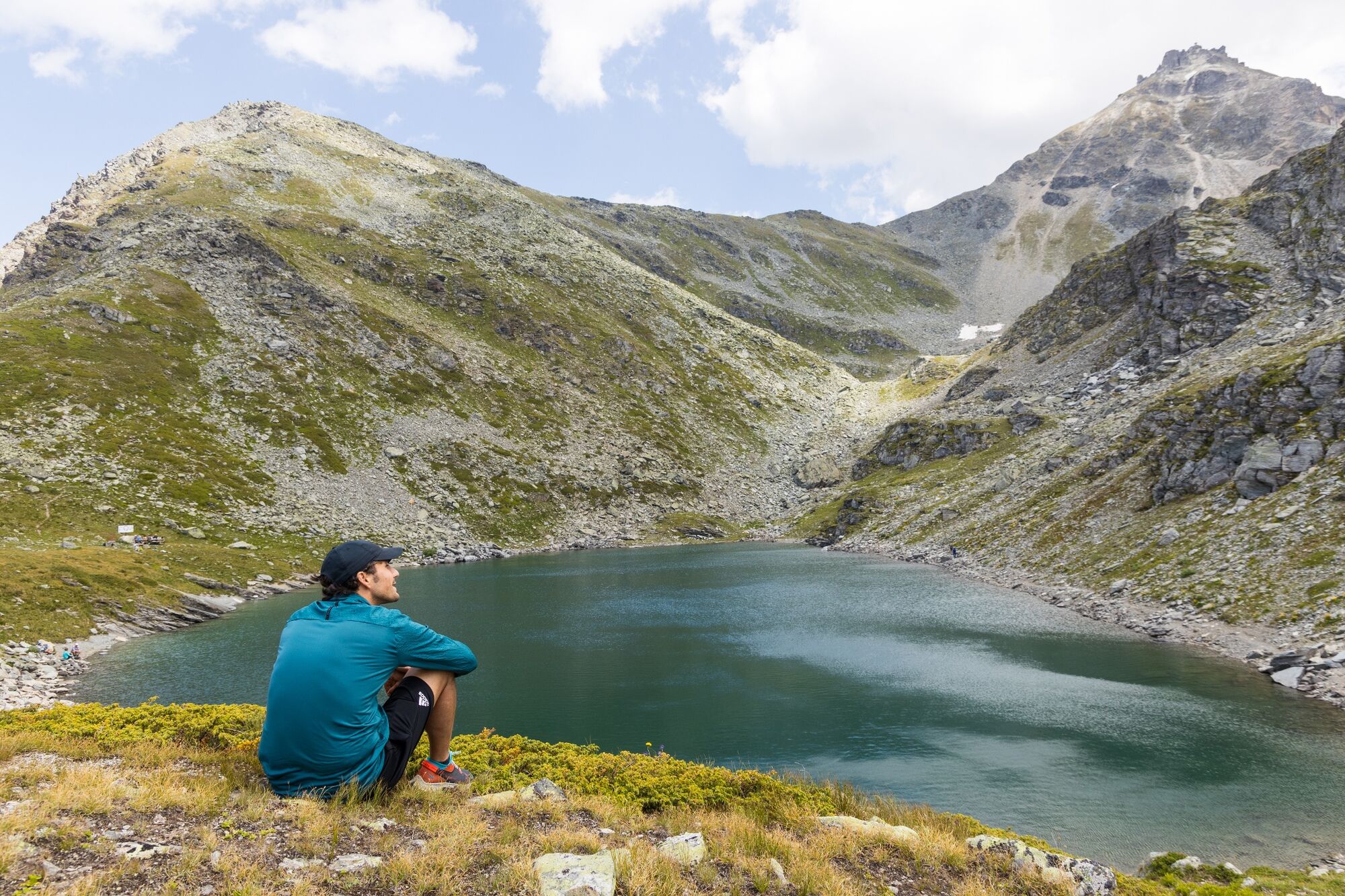
A la découverte de divers points d'eau
- Route
-
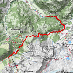
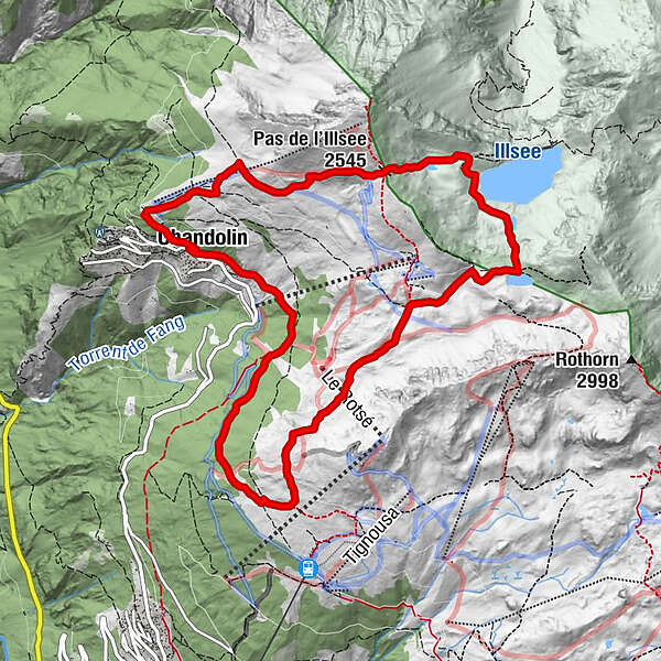
Les Tisses0.1 kmChandolin (1,920 m)0.1 kmLes Boûss0.9 kmPar di Modzes3.0 kmLa Tsât5.8 kmPas de l'Illsee (2,545 m)8.7 kmPlan du Cornier9.0 kmPlan des Violettes9.7 kmCabane de l'Illhorn10.7 kmChandolin (1,920 m)11.7 kmLes Tisses11.7 km
- Description
-
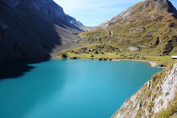
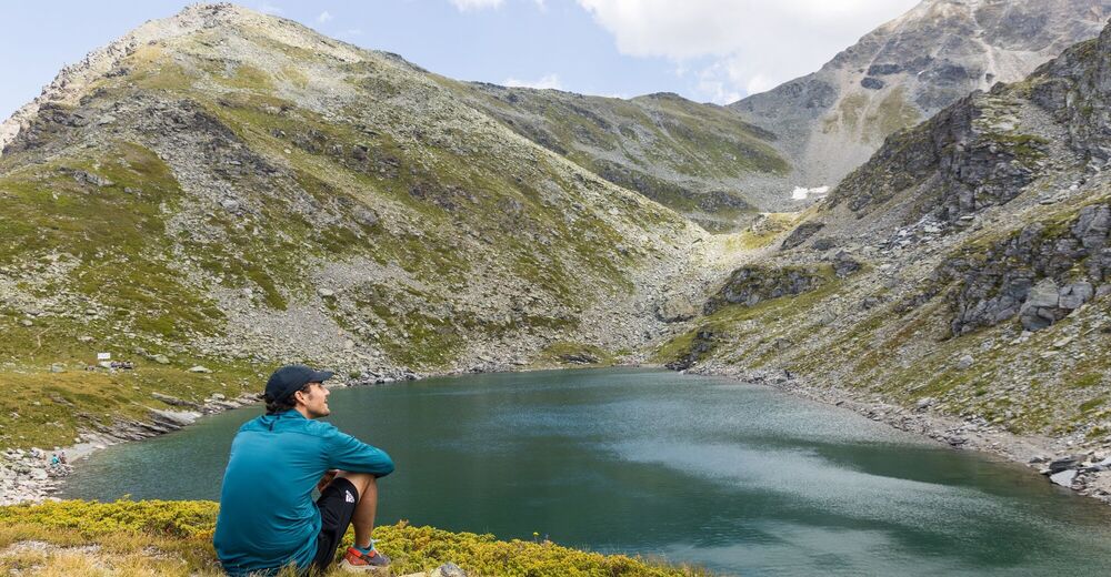
Follow in the footsteps of the Sierre-Zinal runners by zigzagging between Chandolin and St-Luc to reach the idyllic Lac Noir and let yourself be tempted by a swim. The rest of the route will take you to the edge of the Ilsee dam, which is already in the territory of our Hauts Valaisan friends.
- Highest point
- 2,529 m
- Endpoint
-
Chandolin
- Height profile
-
 © outdooractive.com
-

-
AuthorThe tour Big Tour " CHANDOLIN - Par di Modzes - Lac Noir - Ilsee - Chandolin " is used by outdooractive.com provided.
GPS Downloads


General info
A lot of view
Other tours in the regions
-
Oberwallis
1875
-
Sierre Anniviers
782
-
St-Luc / Chandolin
333