© Pongau

© Pongau
Tour data
9.7km
1,088
- 1,805m
762hm
771hm
04:52h
- Rating
-
- Route
-
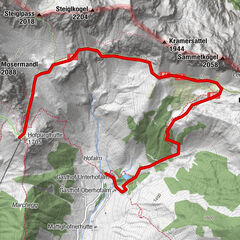
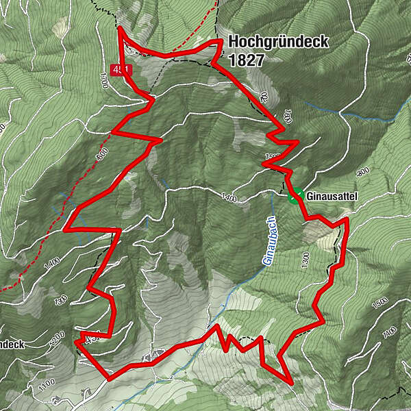
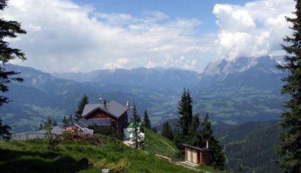
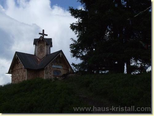
Bergkapelle0.5 kmHeinrich-Kiener-Haus3.6 kmSt. Vinzenz Friedenskirche3.9 kmHochgründeck (1,827 m)4.3 kmTaublegg8.0 km
- Highest point
- 1,805 m
- Height profile
-

- Author
-
PongauThe tour Hochgründeck is used by outdooractive.com provided.
GPS Downloads


Other tours in the regions