© Montafon - Patrick Säly
© Montafon Tourismus GmbH, Hochmontafon Tourismus - Julia Mangeng

- Brief description
-
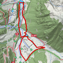
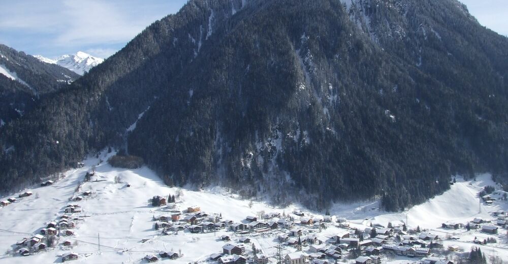
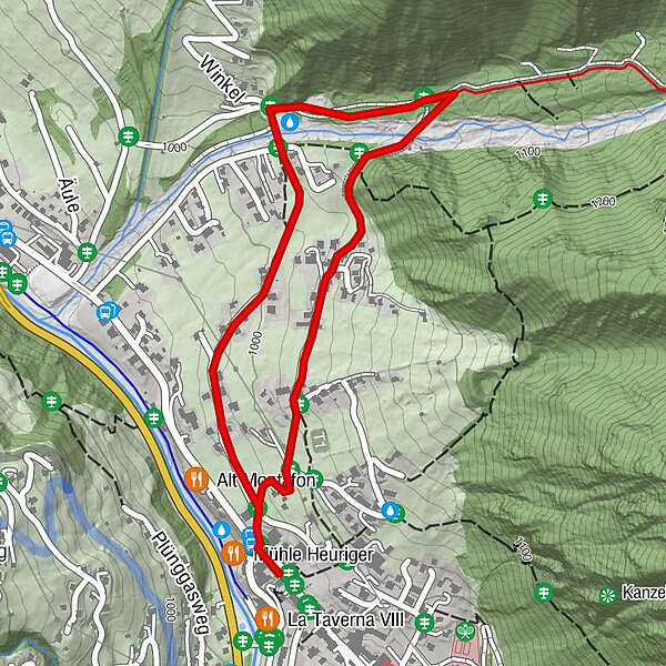
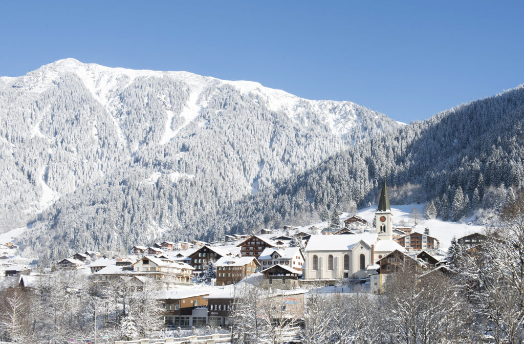
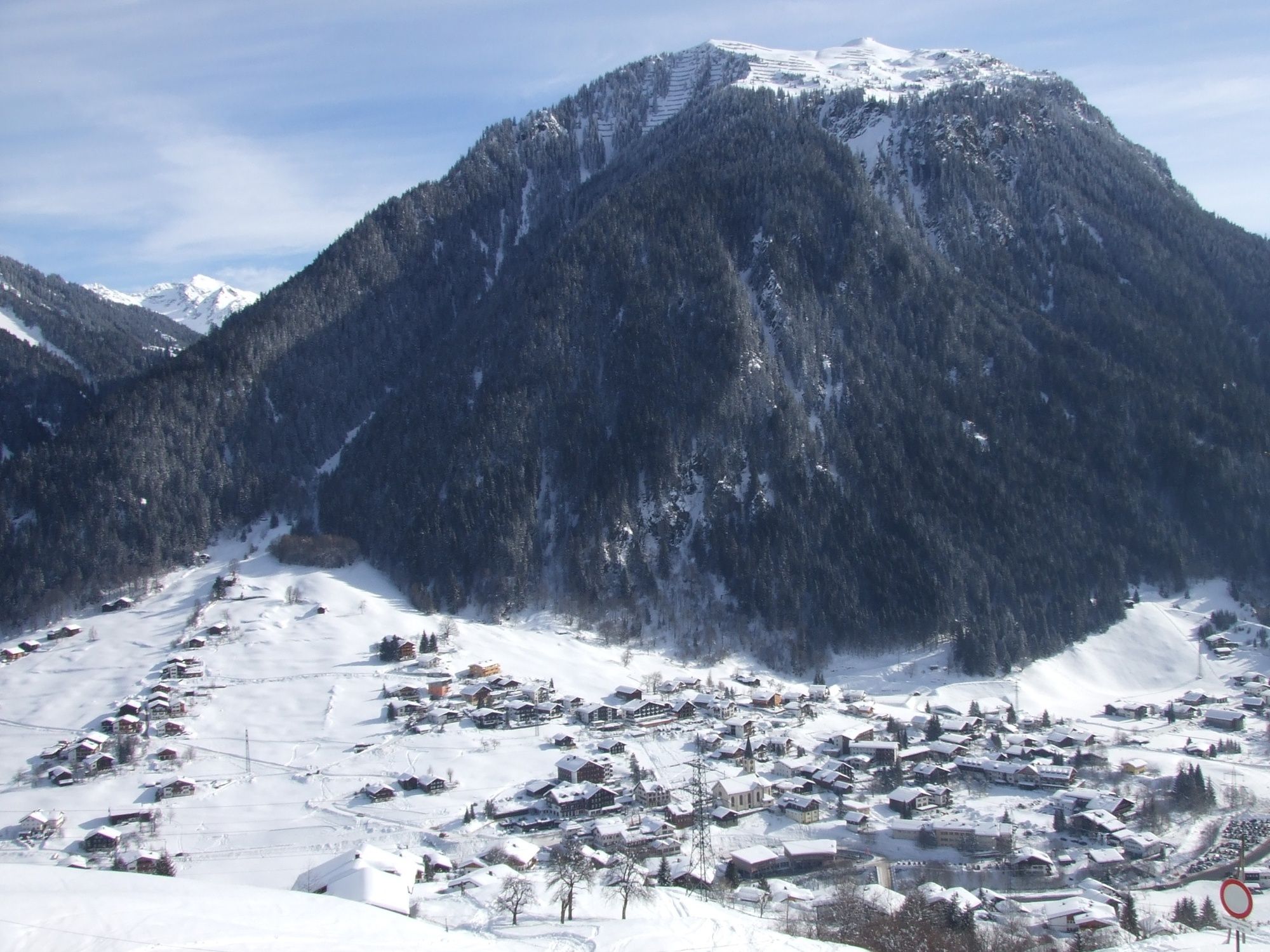
Gaschurn, Zentrum - Obere Gosta - Valschavielstraße - Winkel - Untere Gosta - Gaschurn, Zentrum
- Difficulty
-
easy
- Rating
-
- Best season
-
AugSepOctNovDecJanFebMarAprMayJunJul
- Highest point
- 1,070 m
- Endpoint
-
Gaschurn, Zentrum
- Height profile
-

- Author
-
The tour Gosta-Runde is used by outdooractive.com provided.
GPS Downloads


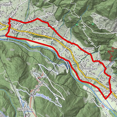
Other tours in the regions
-
Montafon
163
-
Gaschurn - Partenen
50